Signs Tagged With Shield
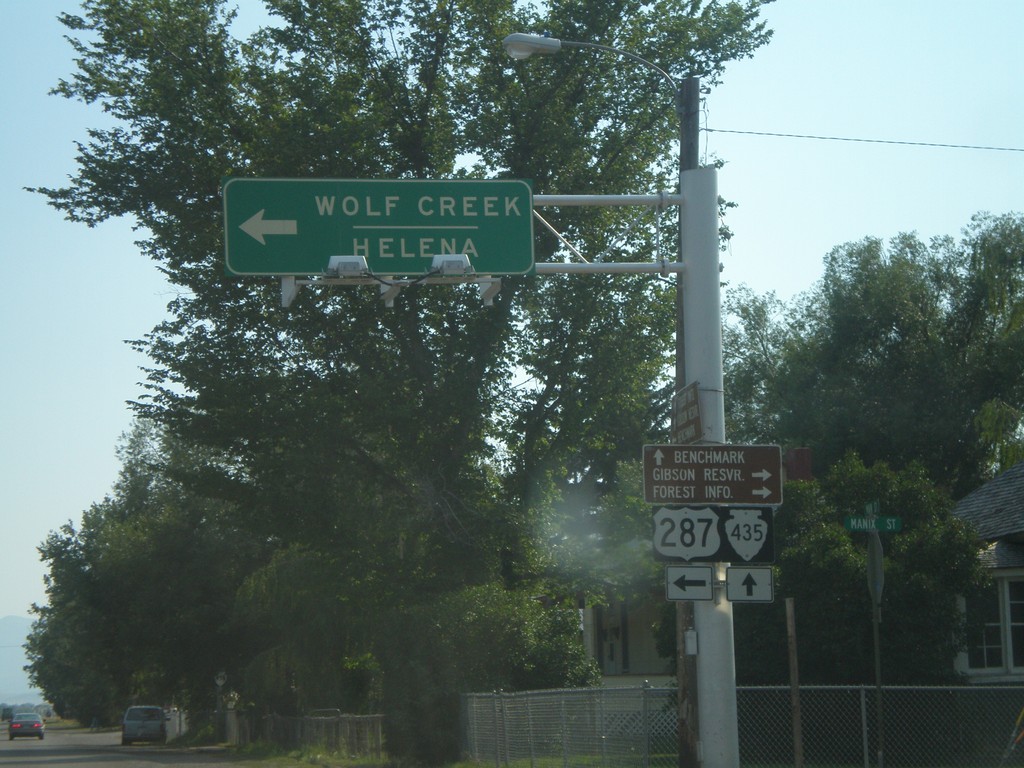
US-287 South at MTS-435
US-287 south to Wolf Creek and Helena at MTS-435 to Bain Lake.
Taken 07-19-2007
 Augusta
Lewis and Clark County
Montana
United States
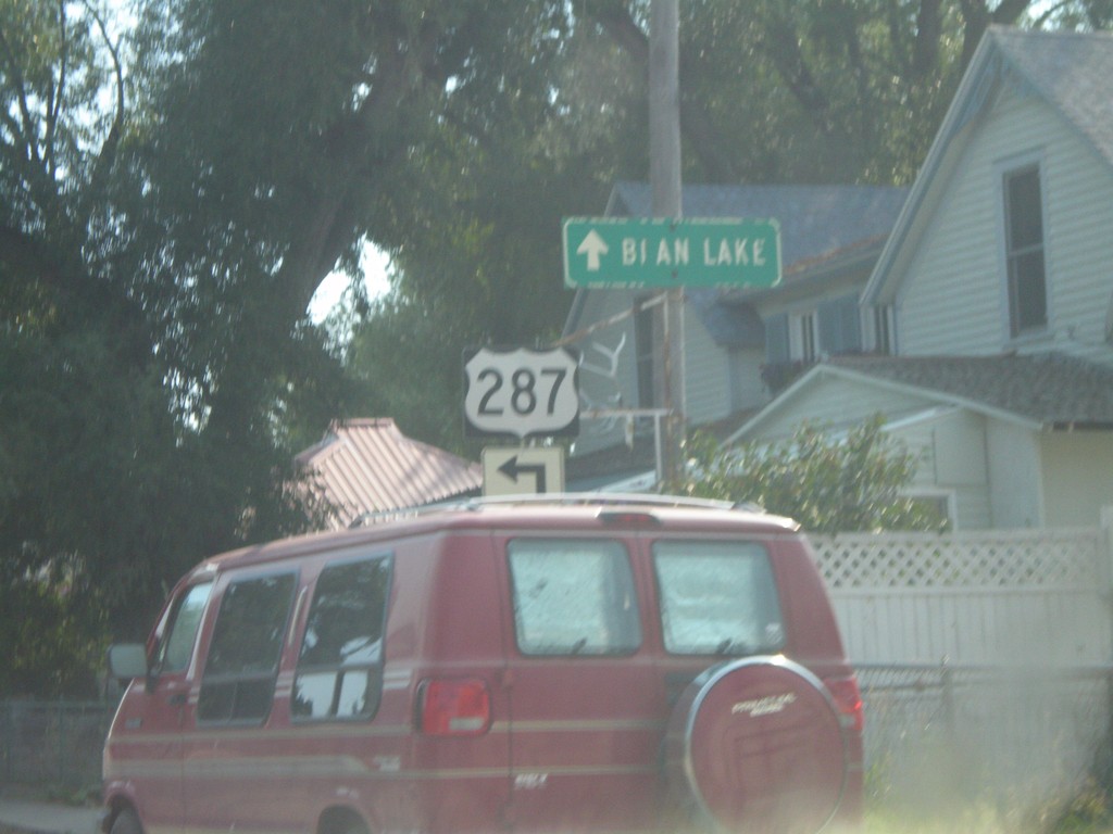
US-287 South at MTS-435
US-287 south approaching MTS-435 to Bain Lake.
Taken 07-19-2007
 Augusta
Lewis and Clark County
Montana
United States
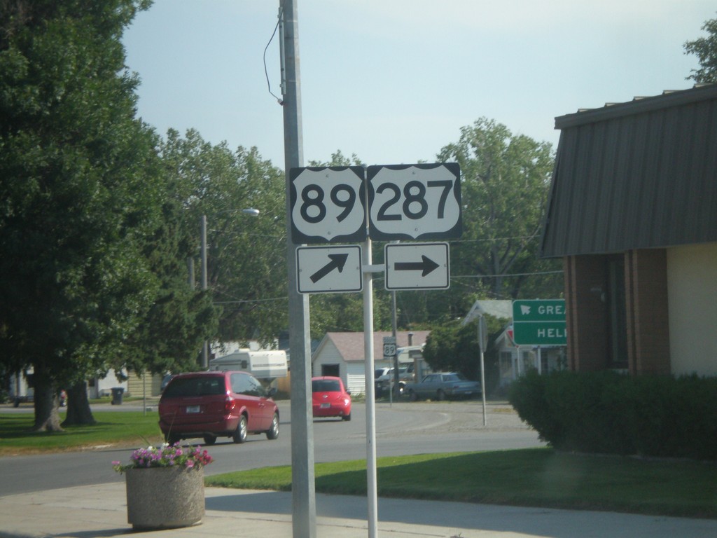
US-89 South at US-287 South
Begin of US-287 south at US-89 at the Teton County courthouse.
Taken 07-19-2007

 Choteau
Teton County
Montana
United States
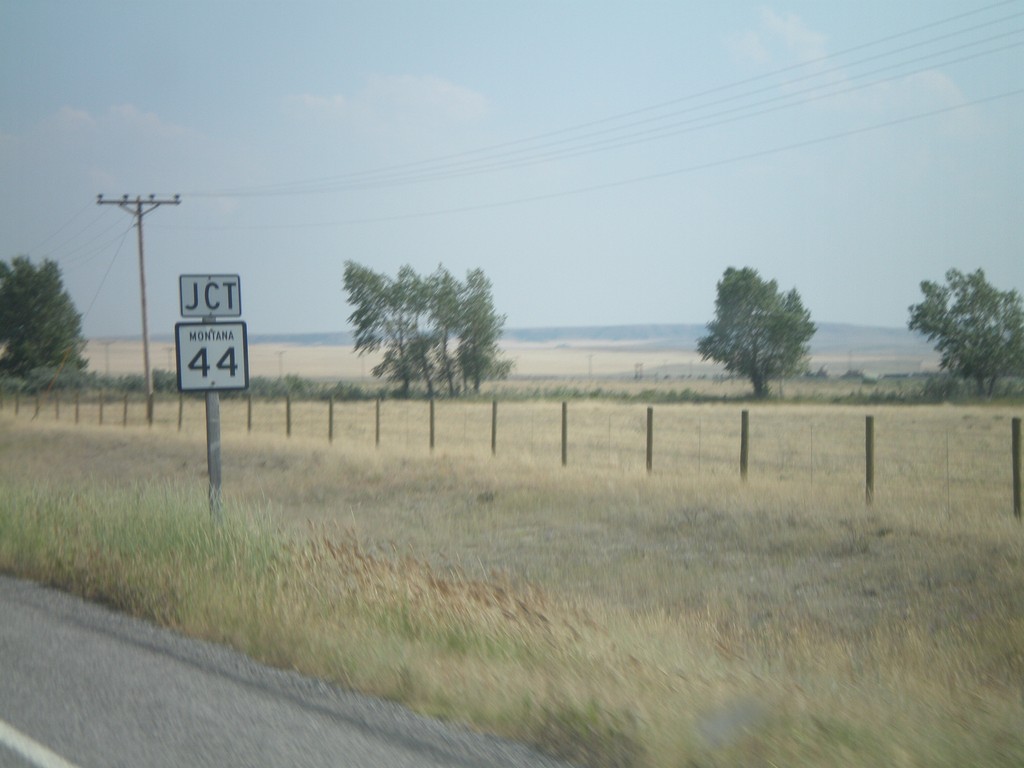
US-89 South Approaching MT-44
US-89 south approaching MT-44 east.
Taken 07-19-2007

 Kingsbury Colony
Pondera County
Montana
United States
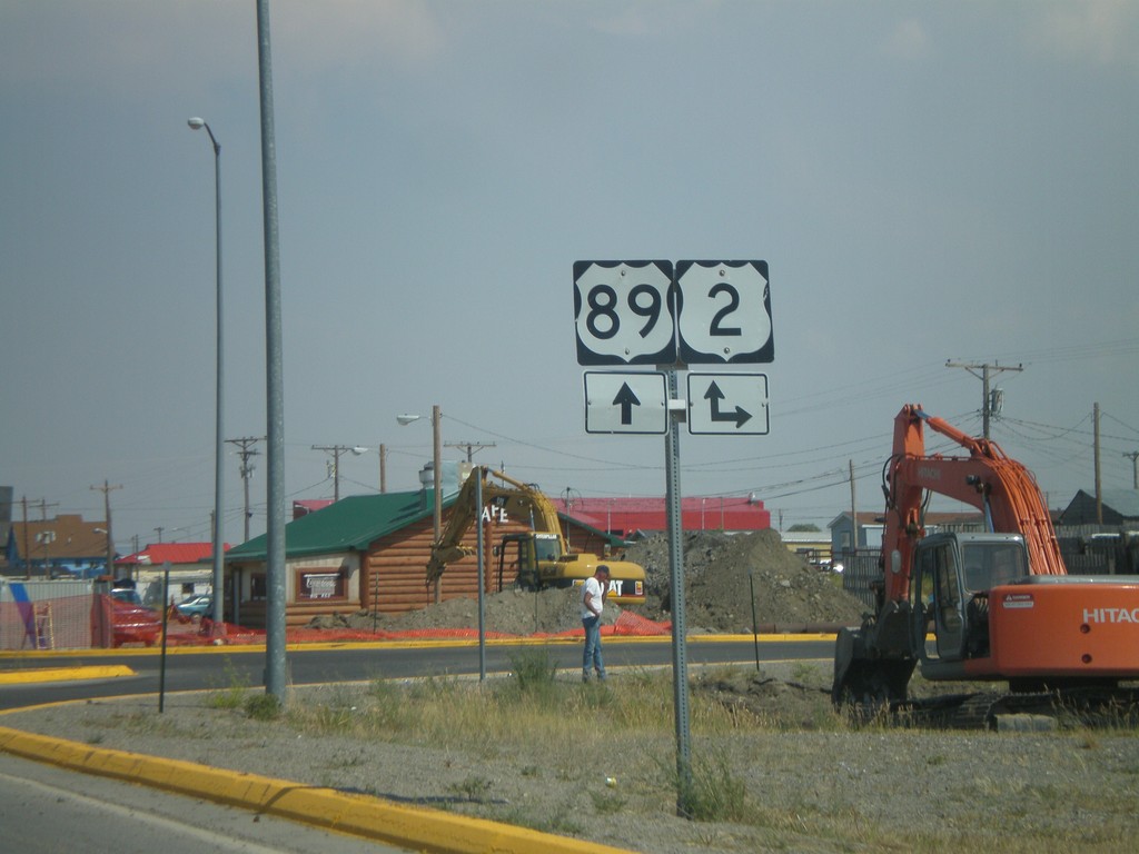
US-89 South at US-2
US-89 south at US-2.
Taken 07-19-2007

 Browning
Glacier County
Montana
United States
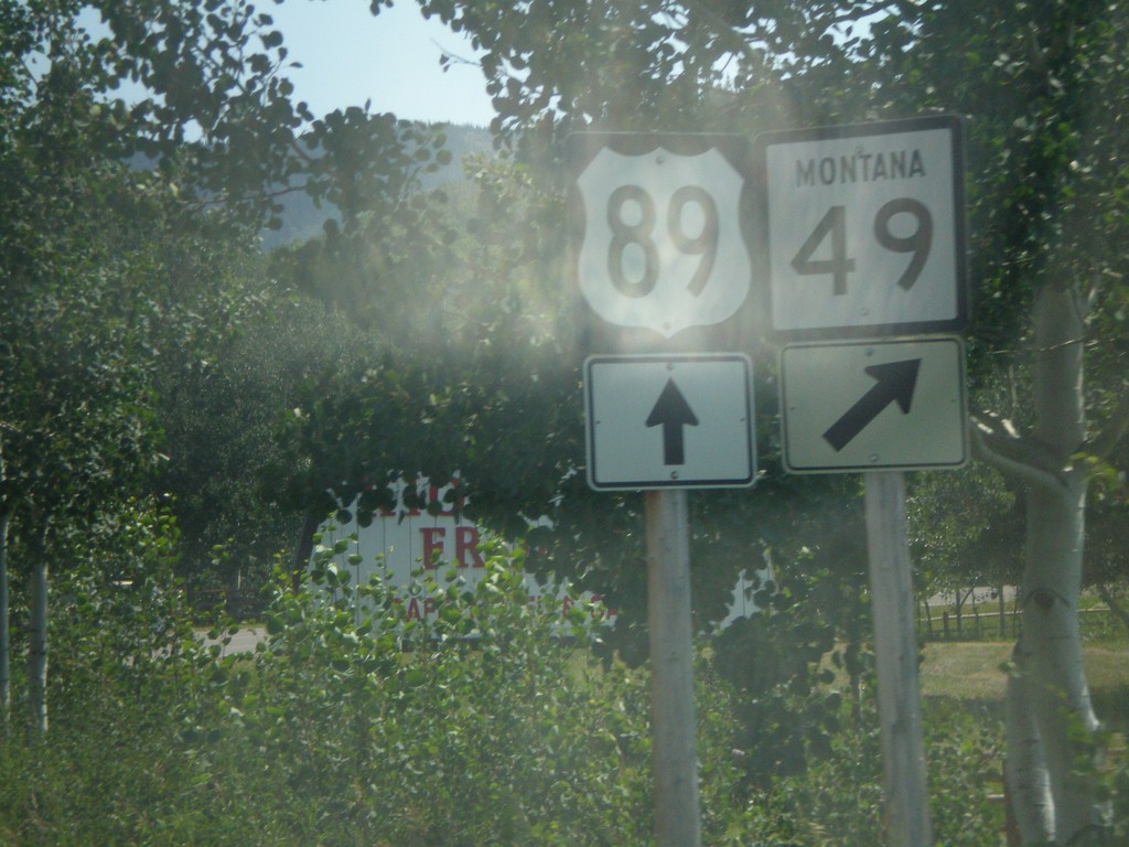
US-89 South at MT-49 South
US-89 south at MT-49 south.
Taken 07-19-2007

 Browning
Glacier County
Montana
United States
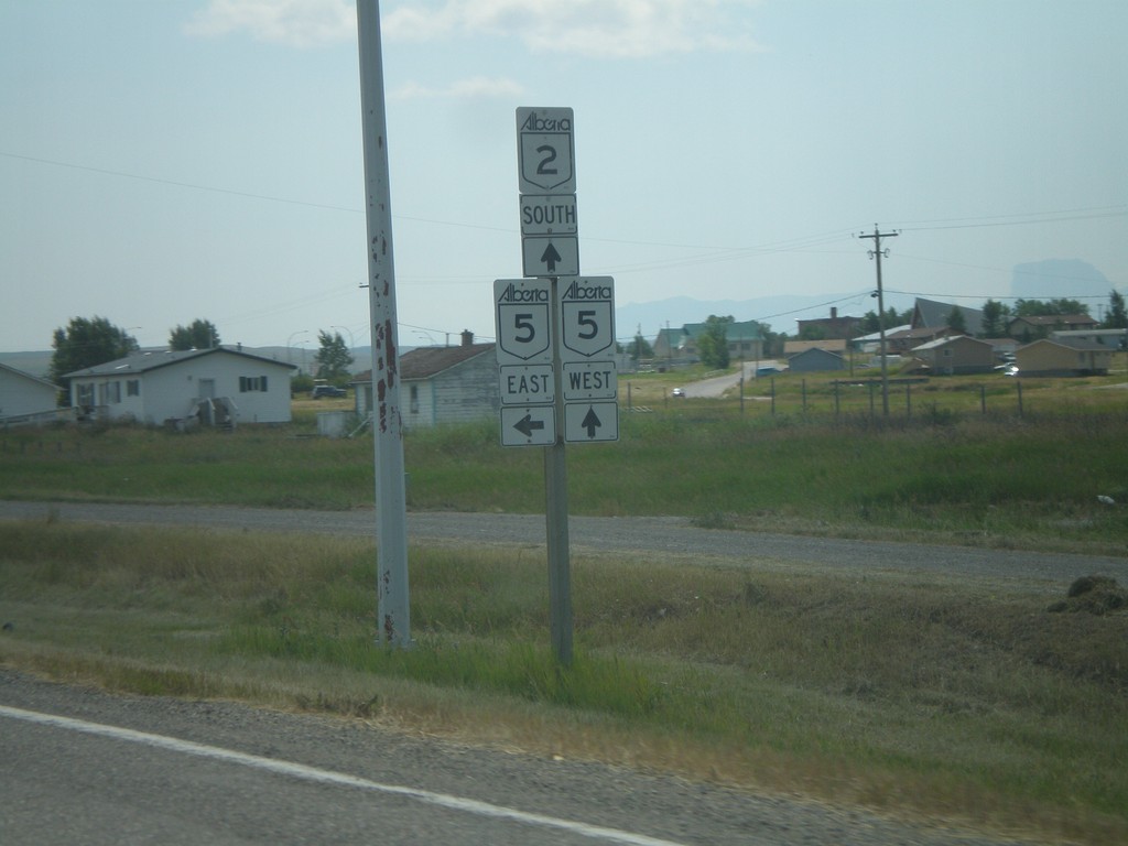
AB-2 South at AB-5 East
AB-2 south at AB-5 east. AB-5 follows AB-2 south through Cardston.
Taken 07-19-2007

 Cardston
 County
Alberta
Canada
Cardston
Cardston County
Alberta
Canada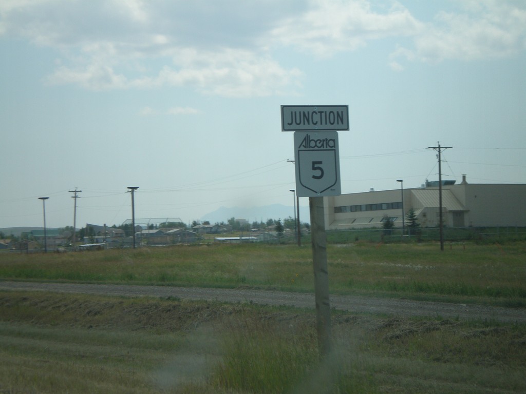
AB-2 South at AB-5 East
AB-2 south approaching AB-5 east.
Taken 07-19-2007

 Cardston
 County
Alberta
Canada
Cardston
Cardston County
Alberta
Canada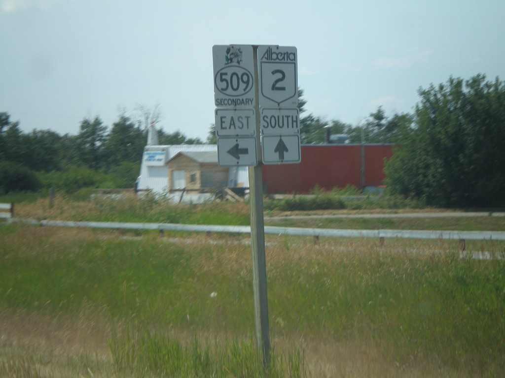
AB-2 South at ABS-509 Jct.
AB-2 south at ABS-509 east.
Taken 07-19-2007

 Stand Off
Cardston County
Alberta
Canada
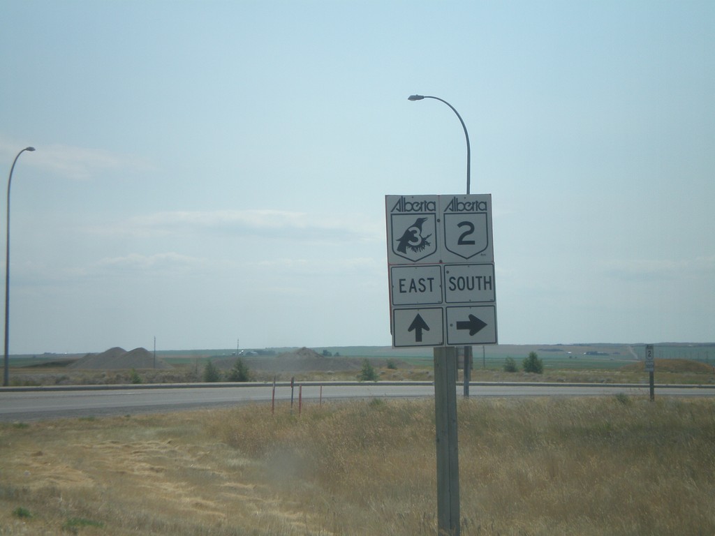
AB-3 East at AB-2 South
AB-3 east at AB-2 south to Cardston.
Taken 07-19-2007

 Fort Macleod
Willow Creek No. 26
Alberta
Canada
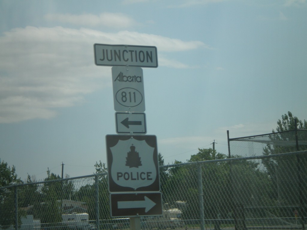
AB-3 East ABS-811
AB-3 east at ABS-801 north.
Taken 07-19-2007

 Fort Macleod
Willow Creek No. 26
Alberta
Canada
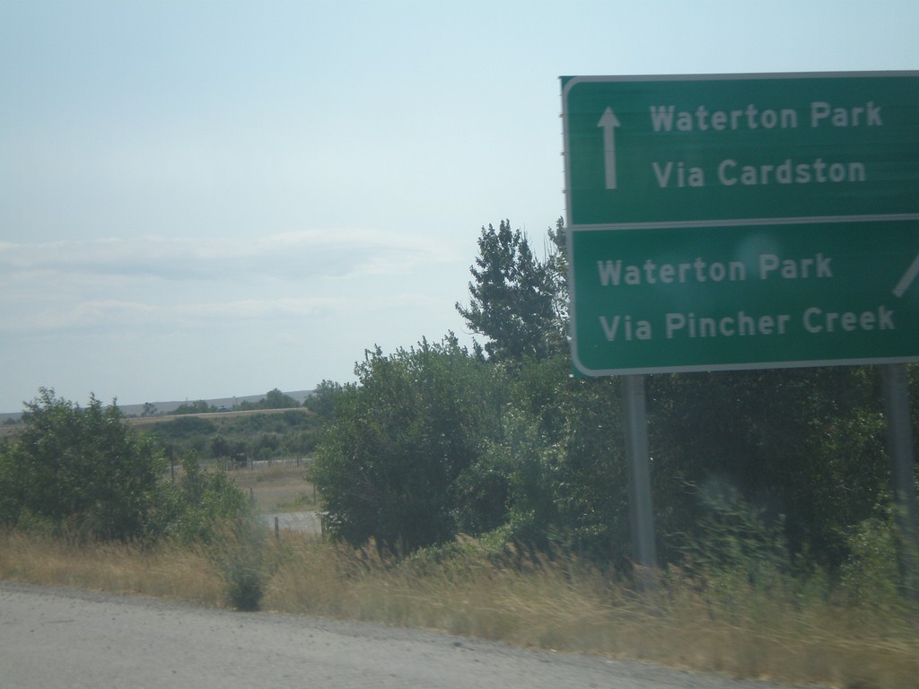
AB-2 South Exit 89, Waterton Park Info
AB-2 south approaching Exit 89, AB-3. Waterton Park via Cardston (AB-3 east), via Pincher Creek (AB-3 west).
Taken 07-19-2007

 Fort Macleod
Willow Creek No. 26
Alberta
Canada
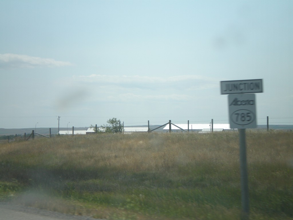
AB-2 South ABS-785 Jct.
AB-2 south approaching ABS-785 to Head-Smashed-In-Buffalo Jump Provincial Park.
Taken 07-19-2007

 Fort Macleod
Willow Creek No. 26
Alberta
Canada
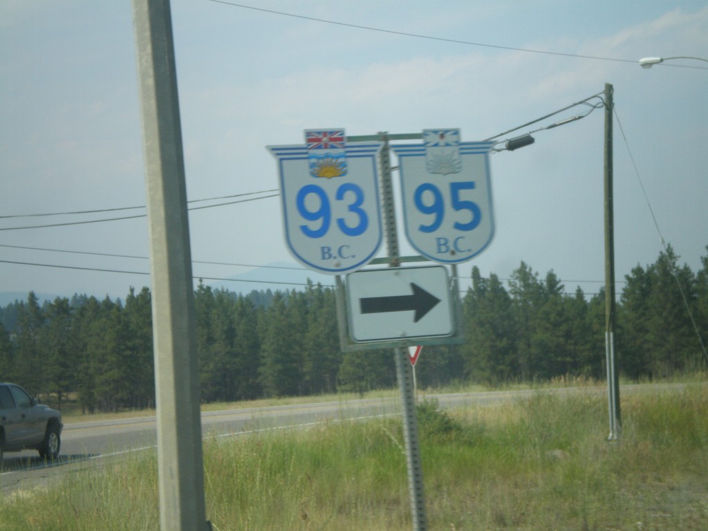
BC-95/BC-93 North at BC-95A
BC-95/BC-93 north at BC-95A.
Taken 07-16-2007


 Ta Ta Creek
East Kootenay
British Columbia
Canada
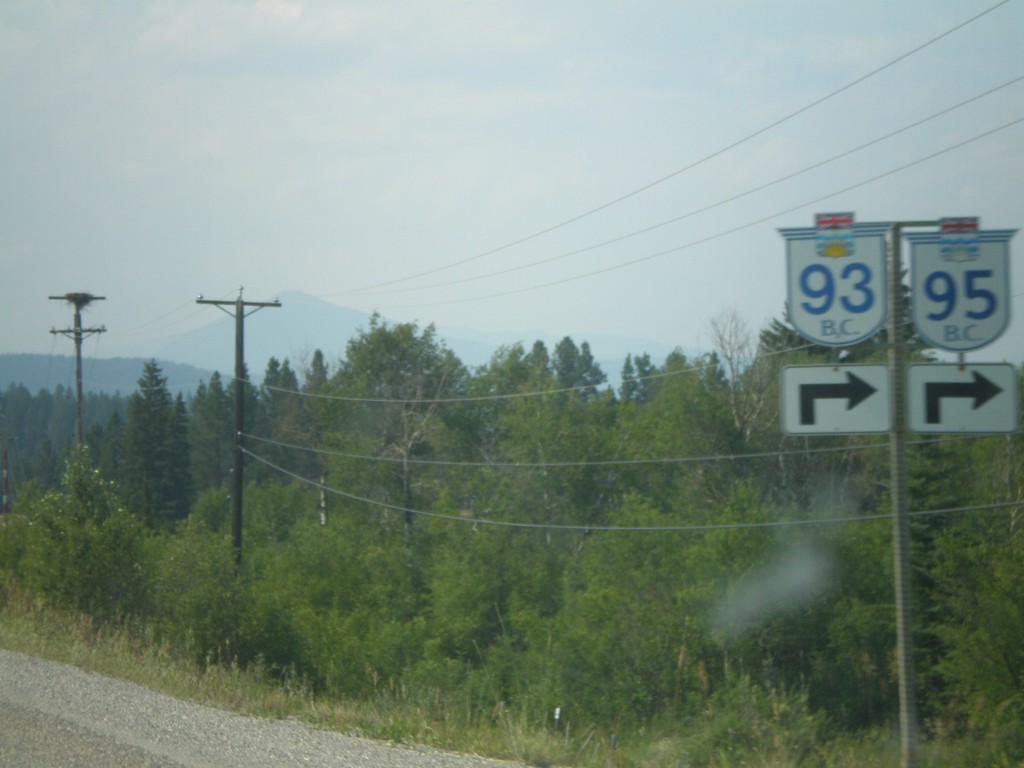
BC-95/BC-93 North at BC-95A
BC-93/BC-95 approaching BC-95A. Turn right for BC-93/BC-95 north.
Taken 07-16-2007


 Ta Ta Creek
East Kootenay
British Columbia
Canada
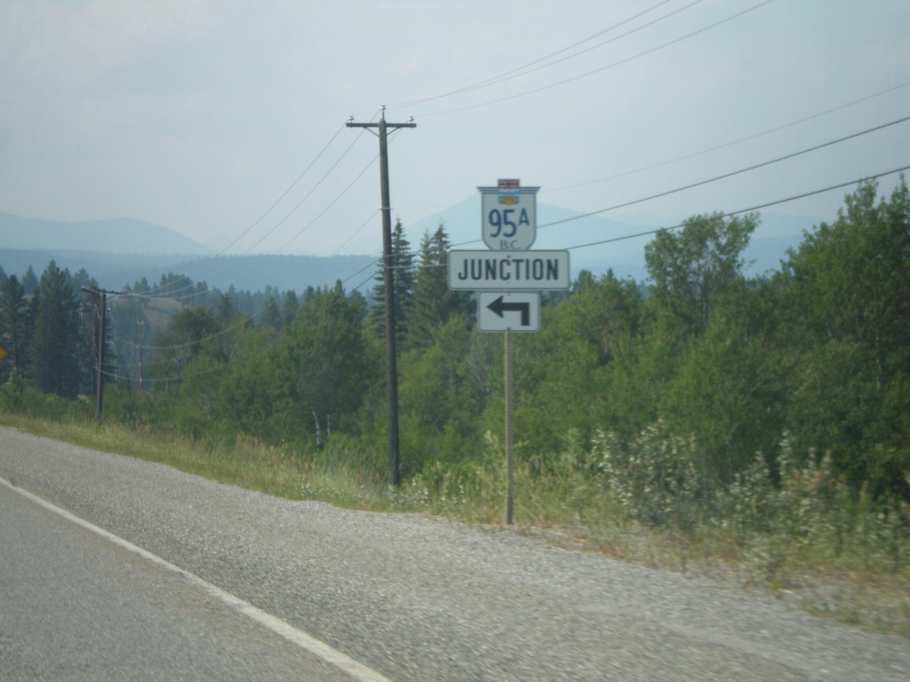
BC-95/BC-93 North at BC-95A
BC-93/BC-95 north approaching BC-95A.
Taken 07-16-2007


 Ta Ta Creek
East Kootenay
British Columbia
Canada
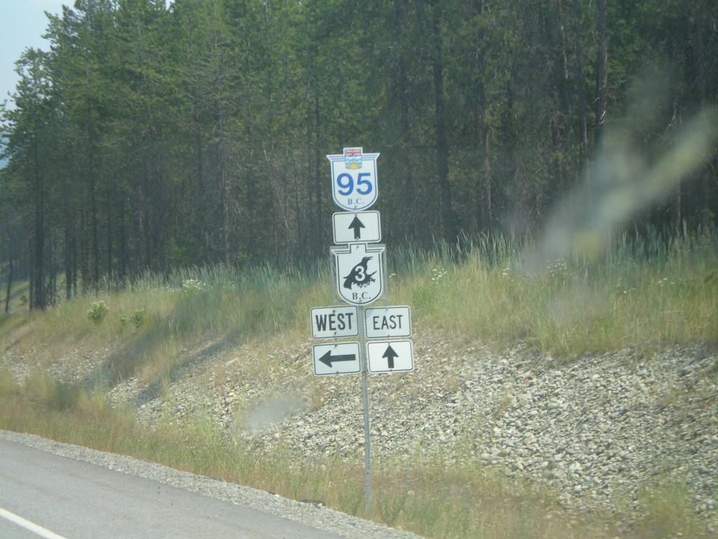
BC-95 North at BC-3
BC-95 north approaching BC-3 (Crowsnest Highway).
Taken 07-16-2007

 Yahk
Central Kootenay
British Columbia
Canada
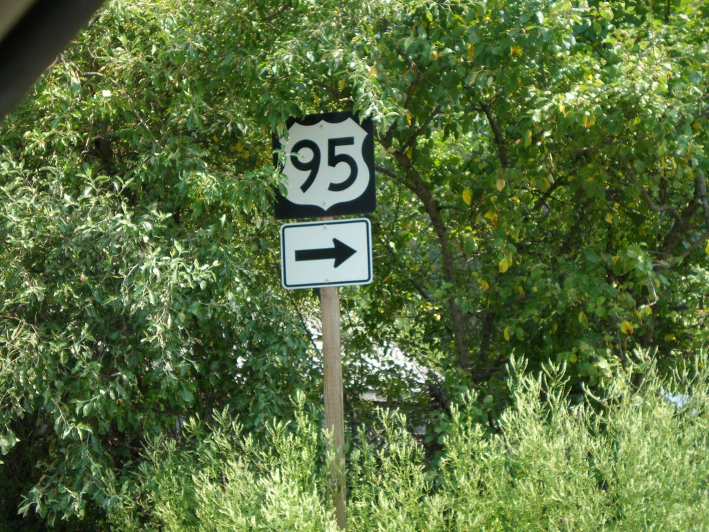
US-95 Leaving US Customs
US-95 shield at exit of US Customs at Port of Eastport. Turn right for US-95 and to leave US Customs facility.
Taken 07-16-2007
 Bonners Ferry
Boundary County
Idaho
United States
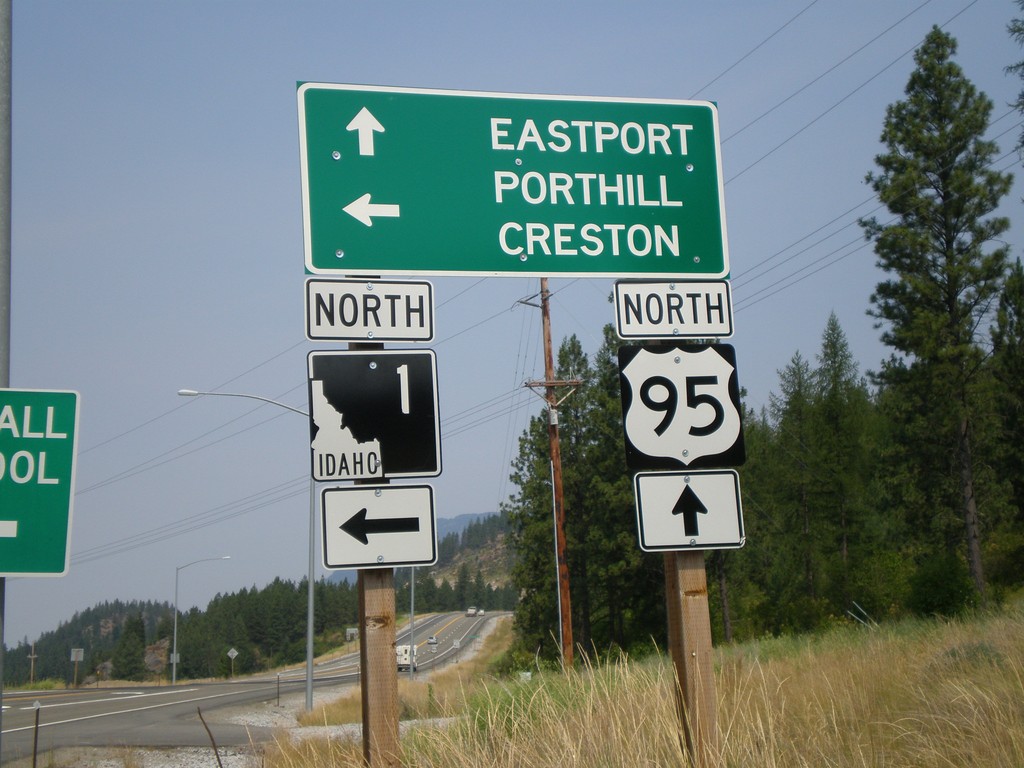
US-95 North At ID-1
US-95 north at ID-1. Continue north on US-95 for the Canadian Border, Port of Eastport/Port of Kingsgate crossing. Use ID-1 north for the Canadian Border, Port of Porthill/Port of Rykerts.
Taken 07-16-2007

 Bonners Ferry
Boundary County
Idaho
United States
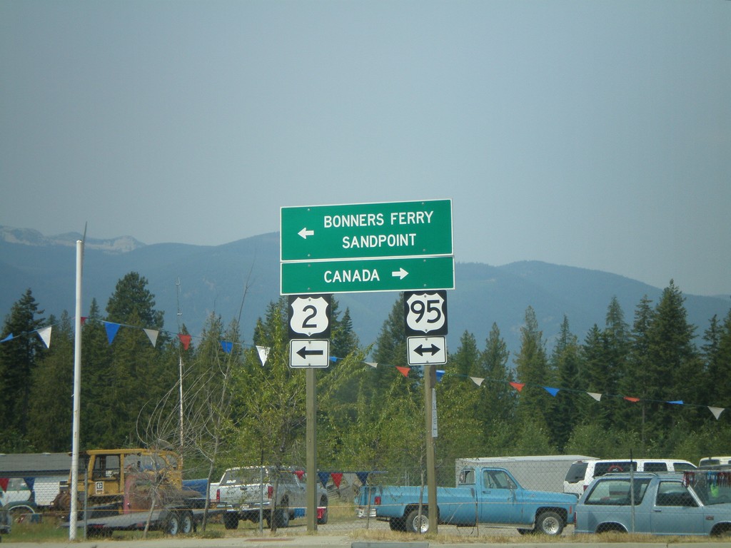
US-2 West At US-95
US-2 west at US-95. Turn right for US-95 north to Canada. Turn left for US-95 South/US-2 West to Sandpoint and Bonners Ferry.
Taken 07-16-2007

 Bonners Ferry
Boundary County
Idaho
United States
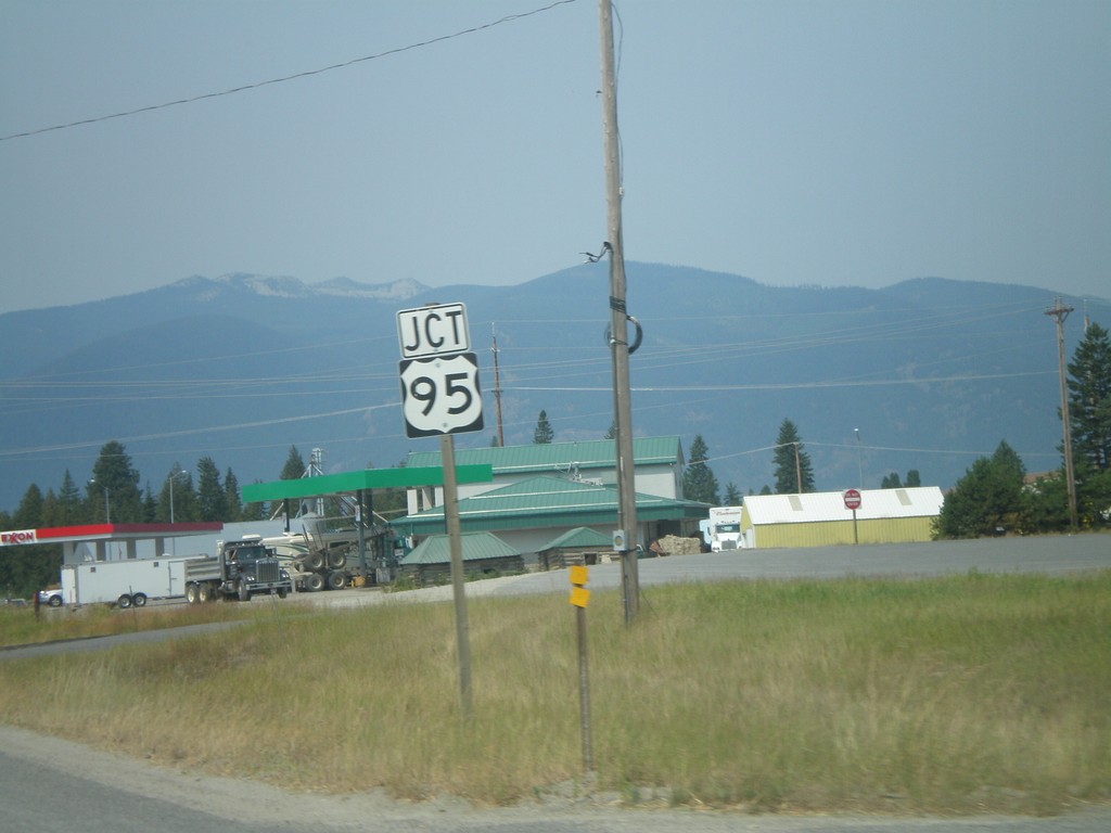
US-2 West Approaching US-95
US-2 west approaching US-95 in Boundary County.
Taken 07-16-2007

 Bonners Ferry
Boundary County
Idaho
United States
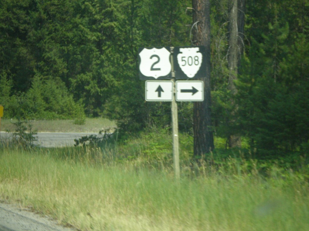
US-2 West at MTS-508 North
US-2 west at Yaak River Road, MTS-508 north.
Taken 07-16-2007
 Troy
Lincoln County
Montana
United States
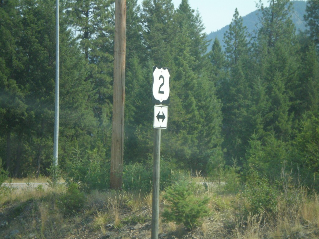
End MT-56 North at US-2
End MT-56 north at US-2.
Taken 07-16-2007
 Troy
Lincoln County
Montana
United States
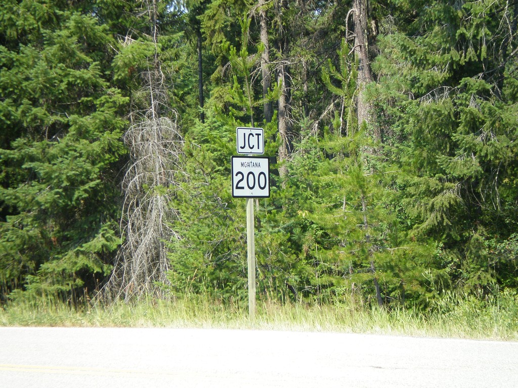
End MT-56 South at MT-200
End MT-56 south at MT-200.
Taken 07-16-2007
 Noxon
Sanders County
Montana
United States
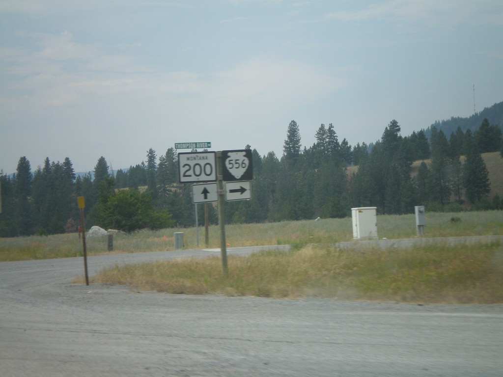
MT-200 West at MTS-556
MT-200 west at MTS-556/Thompson River Road north.
Taken 07-15-2007
 Thompson Falls
Sanders County
Montana
United States