Signs Tagged With Shield
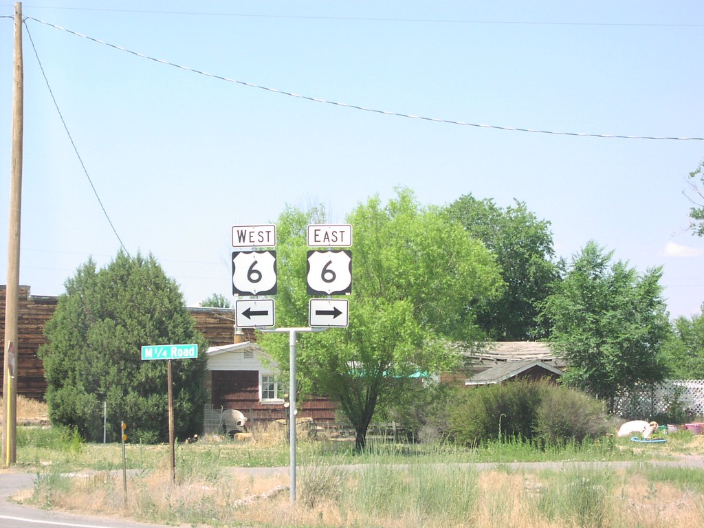
CO-139 North at US-6
CO-139 north at US-6 in Loma.
Taken 05-01-2005

 Loma
Mesa County
Colorado
United States
Loma
Mesa County
Colorado
United States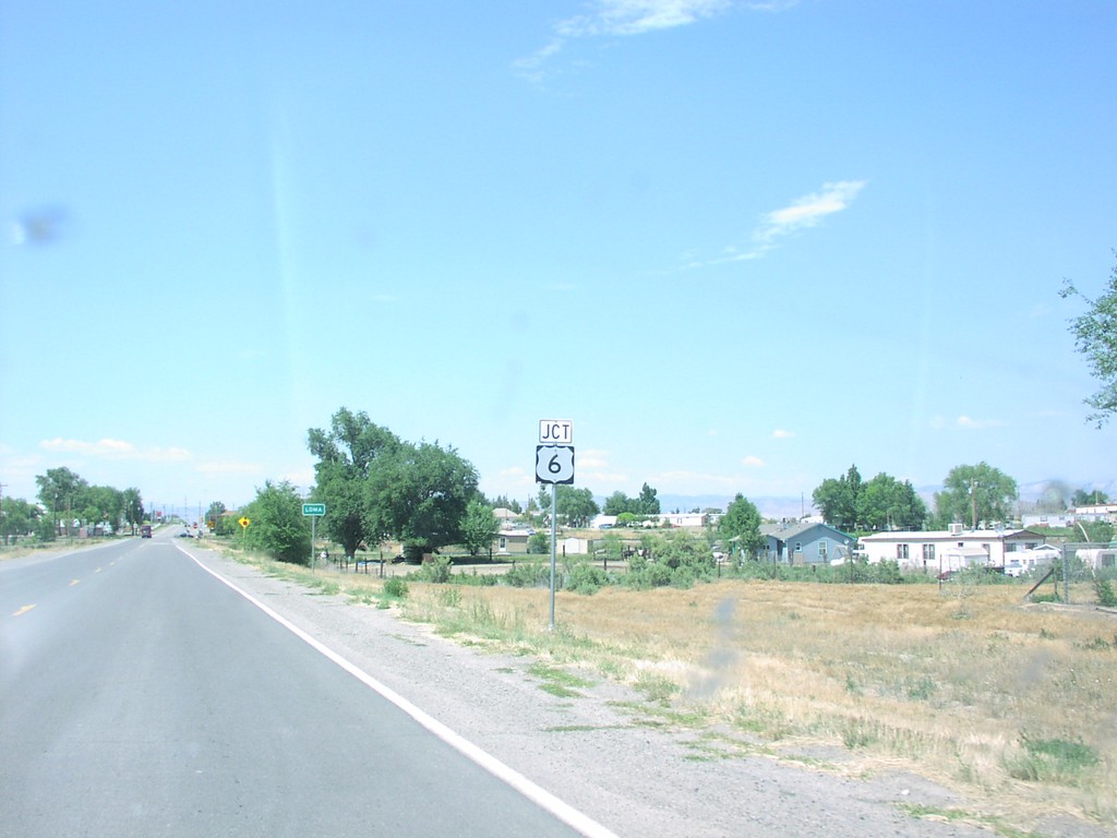
CO-139 North Approaching US-6
CO-139 north approaching US-6 in Loma.
Taken 05-01-2005
Loma
Mesa County
Colorado
United States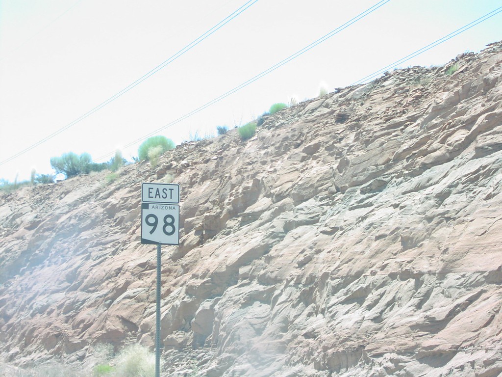
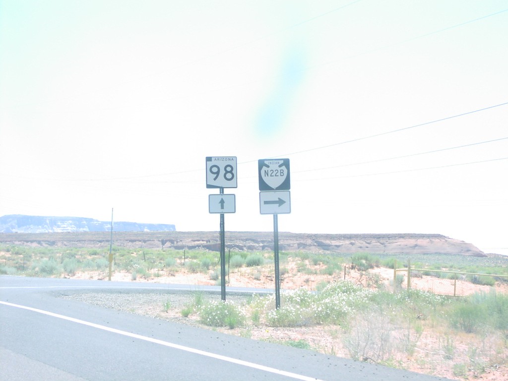
AZ-98 East at BIA-N22B
AZ-98 east at BIA-N22B junction southeast of
Taken 05-01-2005

 LeChee
Coconino County
Arizona
United States
LeChee
Coconino County
Arizona
United States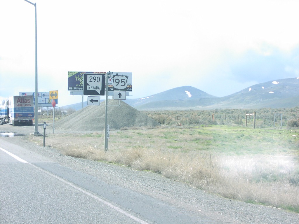
US-95 South at NV-290
US-95/NV-290 shields in Humboldt County.
Taken 03-01-2005

 Winnemucca
Humboldt County
Nevada
United States
Winnemucca
Humboldt County
Nevada
United States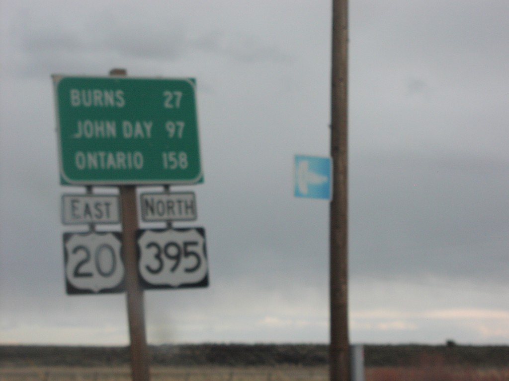
US-395 North/US-20 East - Distance Marker
Distance marker on US-395 north/US-20 east in Riley.
Taken 03-01-2005

 Riley
Harney County
Oregon
United States
Riley
Harney County
Oregon
United States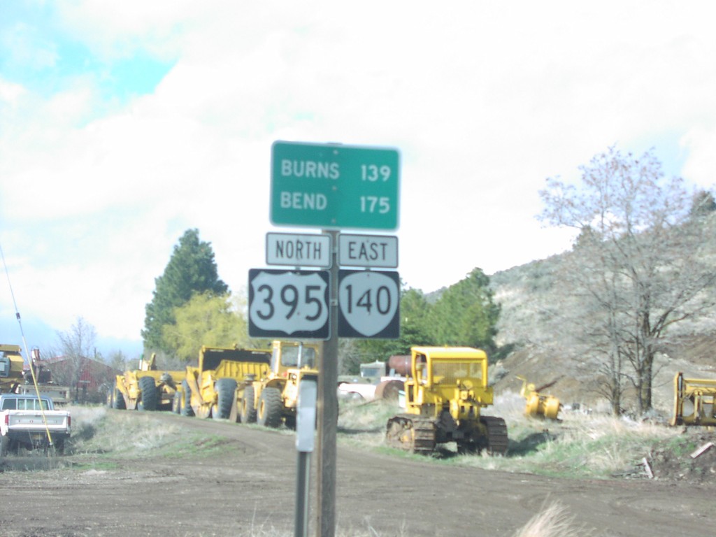
US-395 North/OR-140 North - Distance Marker
Distance marker on US-395 north/OR-140 east in Lakeview.
Taken 03-01-2005
 Lakeview
Lake County
Oregon
United States
Lakeview
Lake County
Oregon
United States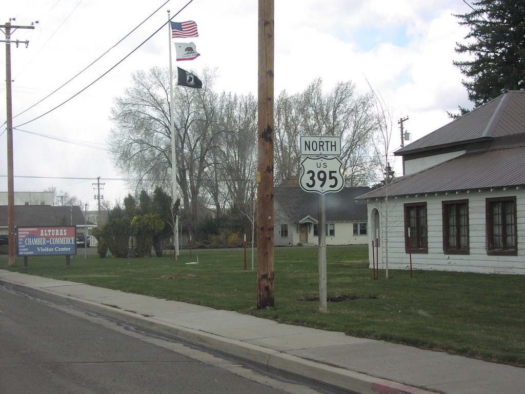
US-395 North in Alturas
US-395 north in Alturas.
Taken 03-01-2005
Alturas
Modoc County
California
United States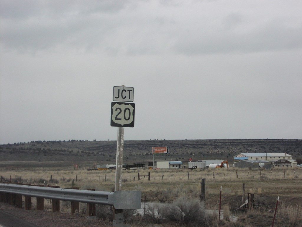
US-395 North at US-20
Junction US-20 on US-395 north, in Riley.
Taken 03-01-2005
Riley
Harney County
Oregon
United States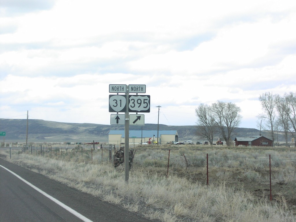
US-395 North at OR-31
OR-31/US-395 junction in Valley Falls.
Taken 03-01-2005
 Valley Falls
Lake County
Oregon
United States
Valley Falls
Lake County
Oregon
United States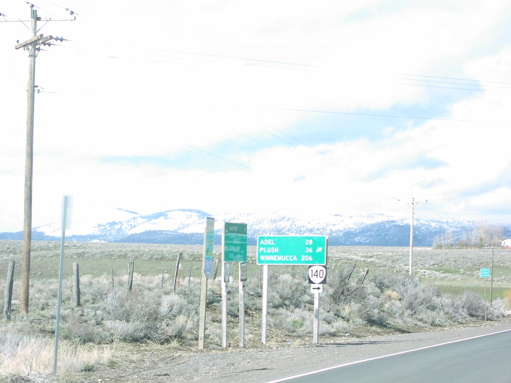
US-395 North at OR-140 East
OR-140 to Plush, Adel, and Winnmucca on US-395 north in Lake County.
Taken 03-01-2005
Lakeview
Lake County
Oregon
United States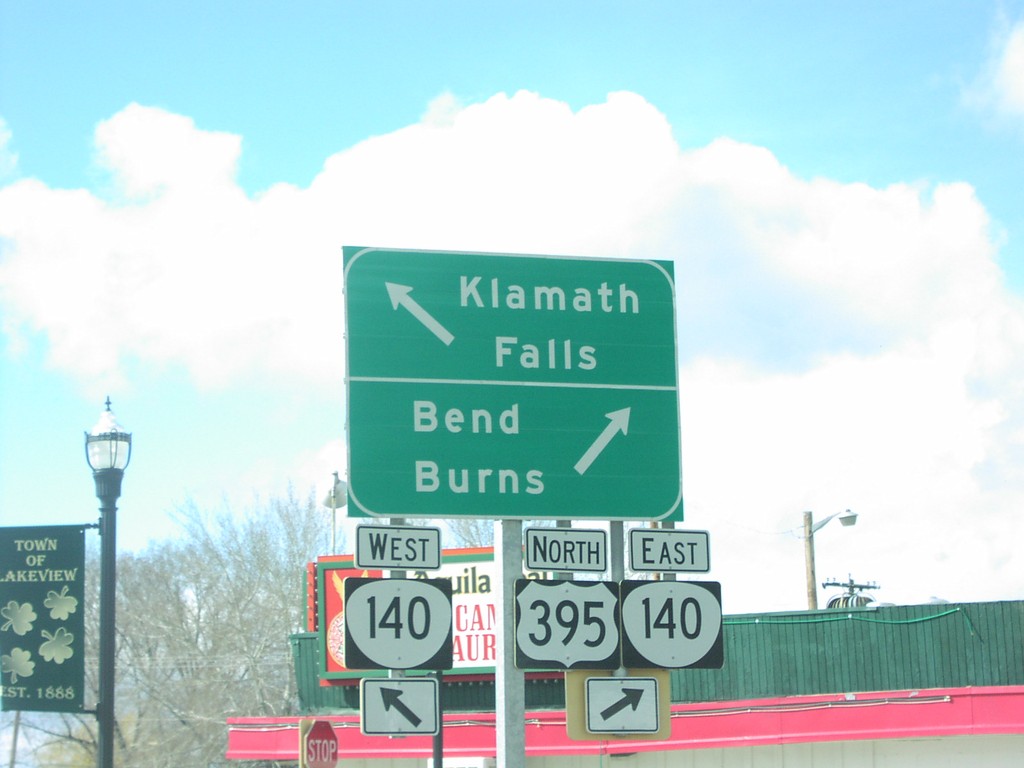
US-395 North at OR-140
US-395 north at OR-140 west junction to Klamath Falls in Lakeview.
Taken 03-01-2005
Lakeview
Lake County
Oregon
United States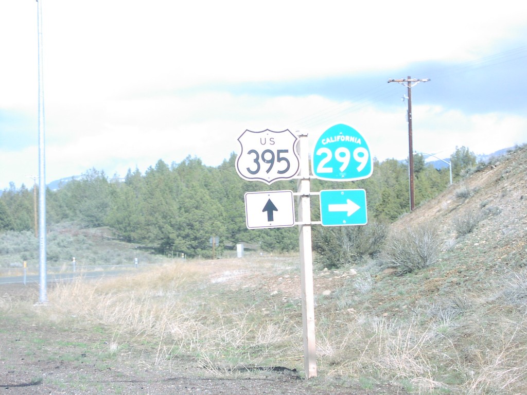
US-395 North at CA-299 East
US-395 north approaching CA-299 east to Cedarville and Gerlach, NV in Modoc County.
Taken 03-01-2005
 Surprise Station
Modoc County
California
United States
Surprise Station
Modoc County
California
United States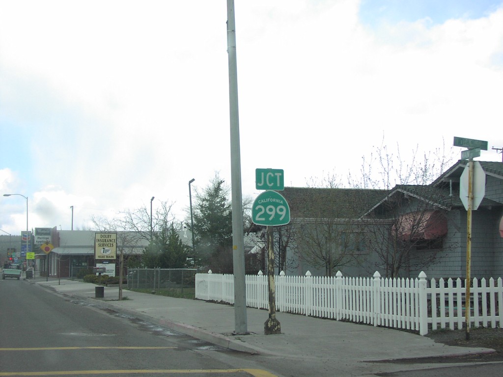
US-395 North at CA-299
US-395 north approaching CA-299 west in Alturas.
Taken 03-01-2005
Alturas
Modoc County
California
United States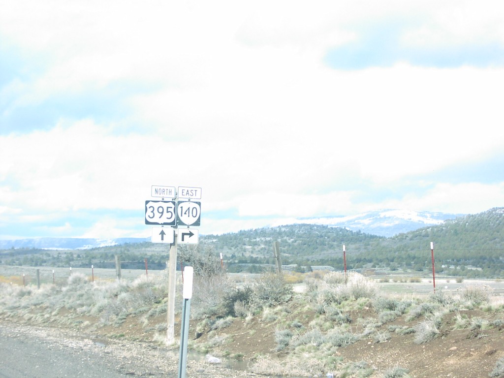
US-395 North Approaching OR-140
US-395/OR-140 shields in Lake County.
Taken 03-01-2005
Lakeview
Lake County
Oregon
United States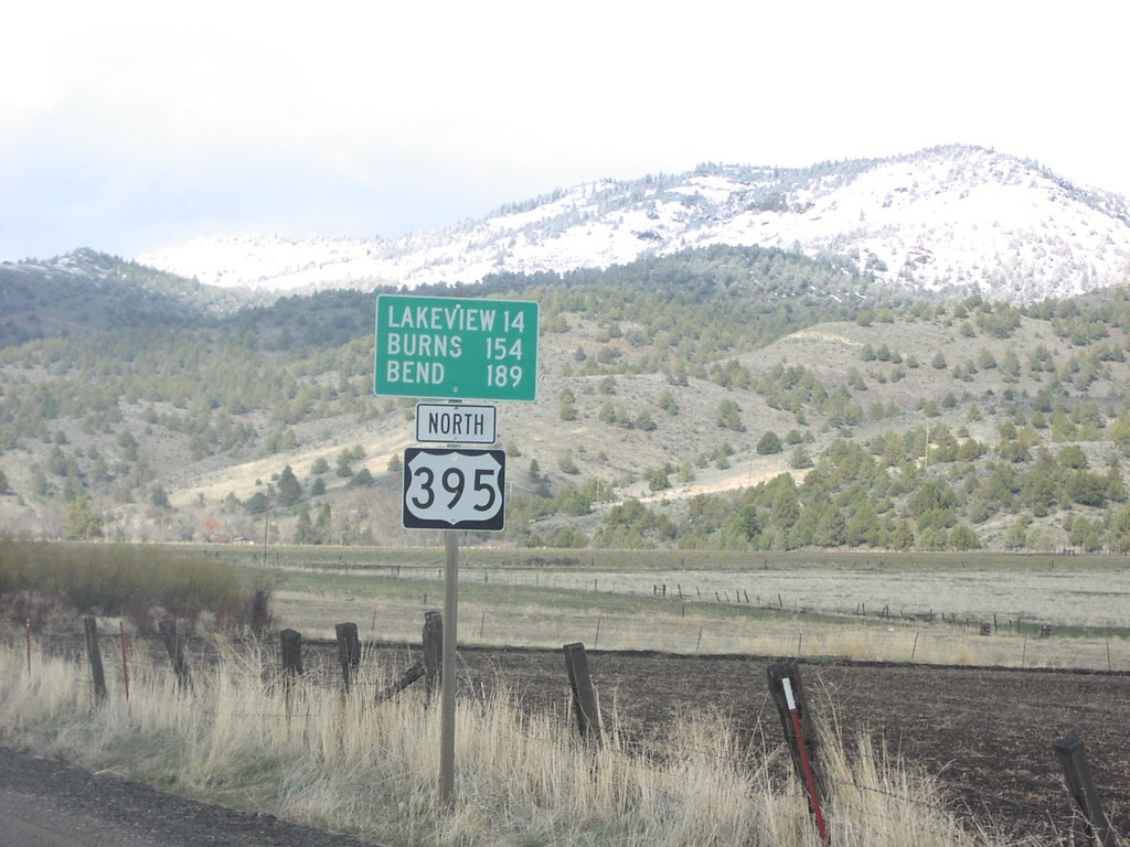
US-395 North - Distance Marker
US-395 north distance marker to Lakeview, Burns, and Bend at the Oregon-California line.
Taken 03-01-2005
New Pine Creek
Lake County
Oregon
United States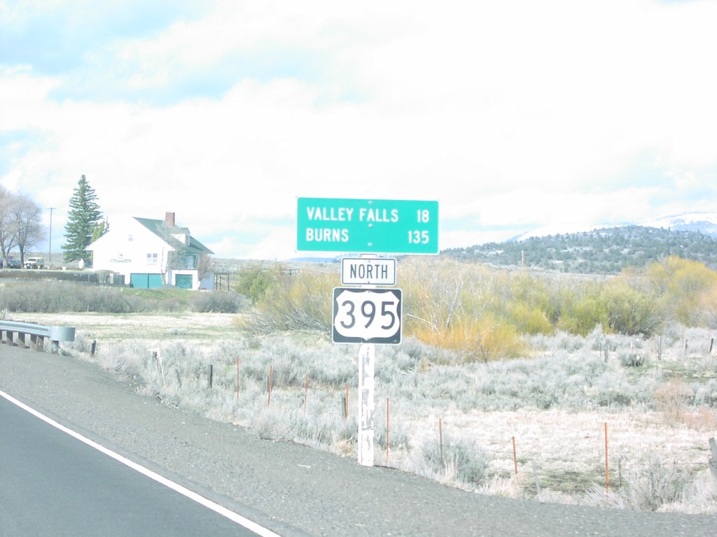
US-395 North - Distance Marker
Distance marker to Valley Falls, Burns, and Bend on US-395 north in Lake County.
Taken 03-01-2005
Lakeview
Lake County
Oregon
United States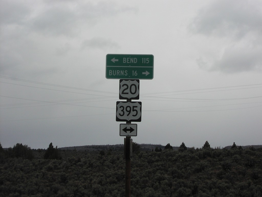
US-20/US-395 - Sage Hen Rest Area
Distance to Burns and Bend at the exit to the Sage Hen Summit Rest Area on US-395/US-20.
Taken 03-01-2005
Hines
Harney County
Oregon
United States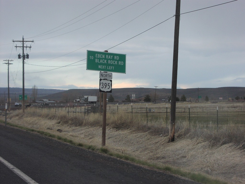
US-20 East Approaching US-395 North
US-20 east approaching US-395 junction in Burns.
Taken 03-01-2005
Burns
Harney County
Oregon
United States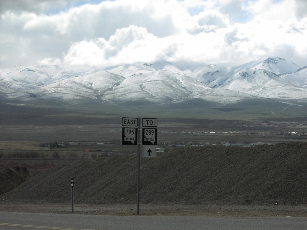
NV-795 East at To NV-289
NV-795 to NV-289 just east of US-95 in Winnemucca.
Taken 03-01-2005

 Winnemucca
Humboldt County
Nevada
United States
Winnemucca
Humboldt County
Nevada
United States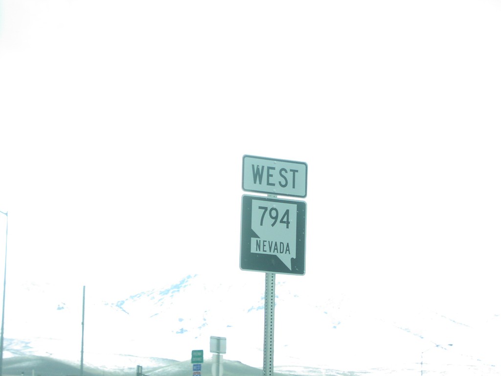
NV-794 West
Beginning of NV-794 at I-80 junction in Winnemucca.
Taken 03-01-2005
 Winnemucca
Humboldt County
Nevada
United States
Winnemucca
Humboldt County
Nevada
United States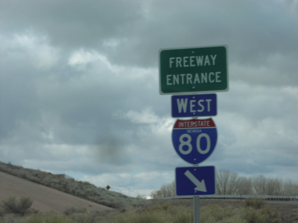
NV-289 at I-80 West Exit 178
NV-289 at I-80 Exit 178 freeway entrance in Winnemucca.
Taken 03-01-2005
 Winnemucca
Humboldt County
Nevada
United States
Winnemucca
Humboldt County
Nevada
United States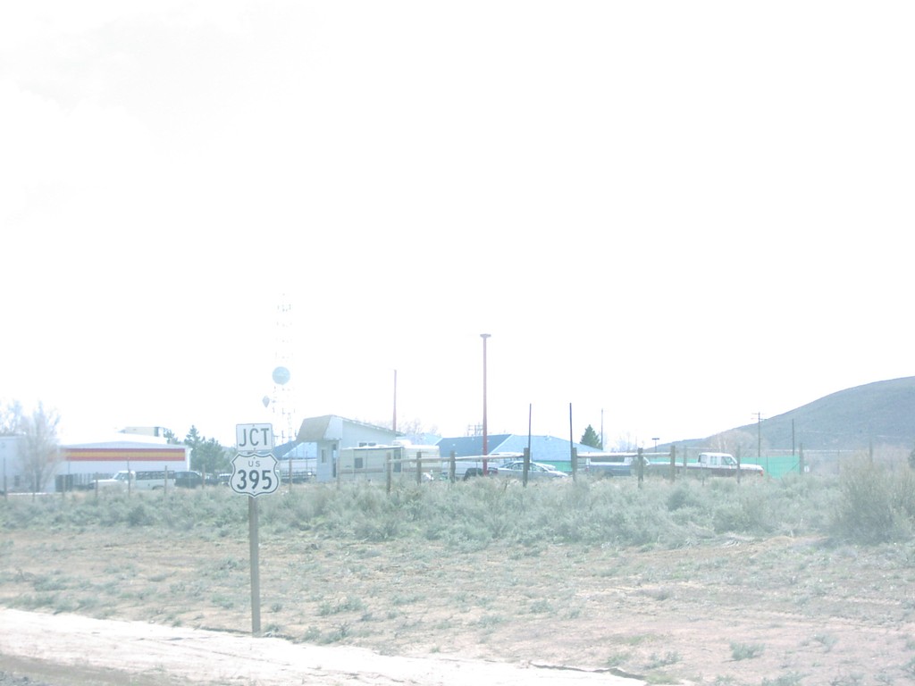
Jct. US-395 on CA-36 East
CA-36 east nearing US-395 junction in Johnsonville.
Taken 03-01-2005
 Susanville
Lassen County
California
United States
Susanville
Lassen County
California
United States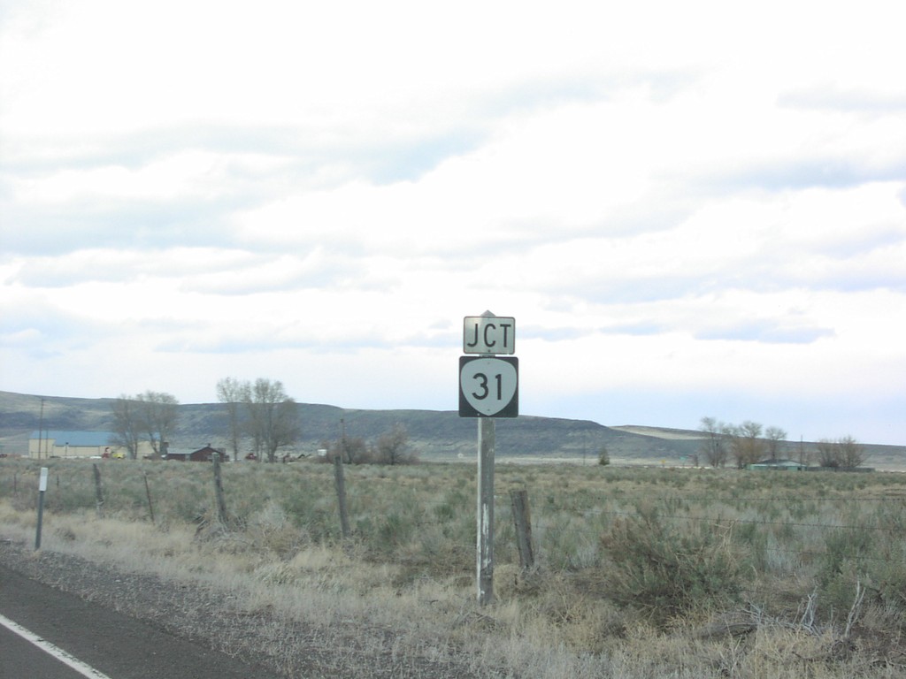
Jct. OR-31 on US-395 North
Junction OR-31 on US-395 north in Valley Falls.
Taken 03-01-2005
Valley Falls
Lake County
Oregon
United States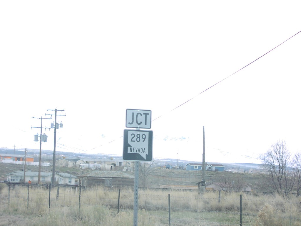
Jct. NV-289 on NV-795 East
Jct. NV-289 on NV-795 east in Winnemucca.
Taken 03-01-2005
Winnemucca
Humboldt County
Nevada
United States