Signs Tagged With Shield
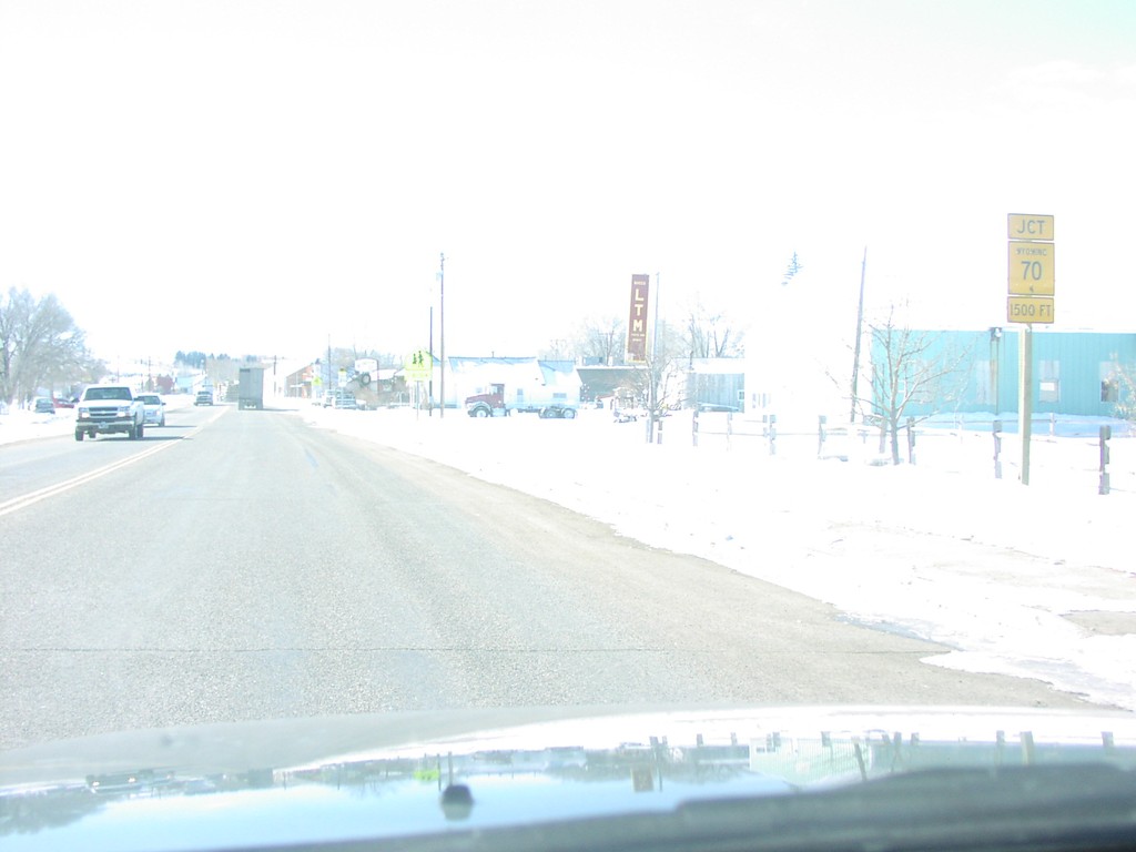
WY-789 South at WY-70
Jct. WY-70 on WY-789 South
Taken 02-01-2004

 Baggs
Carbon County
Wyoming
United States
Baggs
Carbon County
Wyoming
United States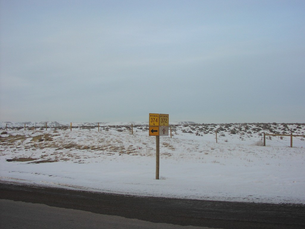
WY-372 North at WY-374
WY-374 Junction on WY-372 North
Taken 02-01-2004

 James Town
Sweetwater County
Wyoming
United States
James Town
Sweetwater County
Wyoming
United States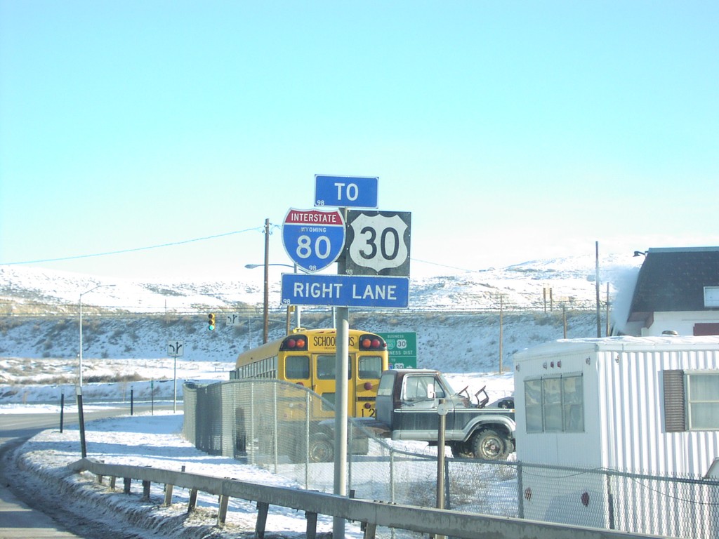
WY-372 East at BL-80/To I-80/To US-30
To I-80/To US-30 on WY-372 East
Taken 02-01-2004
 Rock Springs
Sweetwater County
Wyoming
United States
Rock Springs
Sweetwater County
Wyoming
United States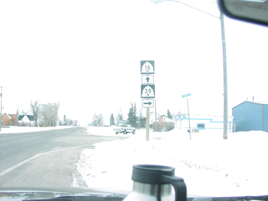
UT-16 South at UT-39 South
UT-16/UT-39 Shields
Taken 02-01-2004
 Woodruff
Rich County
Utah
United States
Woodruff
Rich County
Utah
United States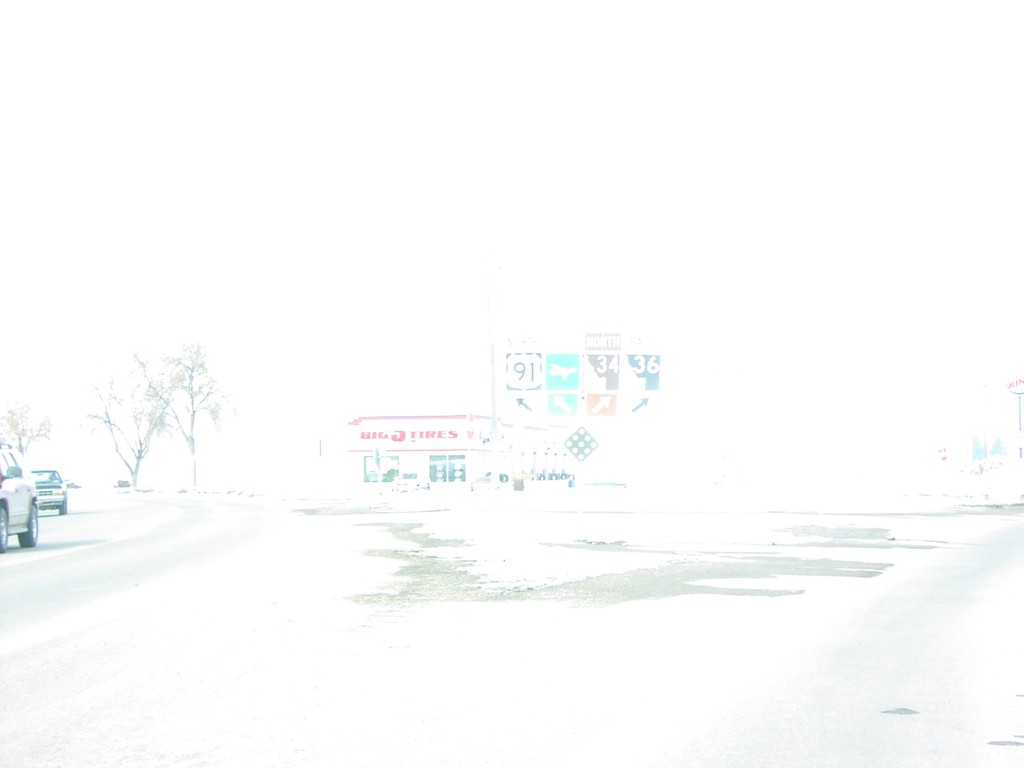
US-91/ID-36 North at ID-34/ID-36
US-91/ID-36/ID-34 Junction on US-91 North
Taken 02-01-2004


 Preston
Franklin County
Idaho
United States
Preston
Franklin County
Idaho
United States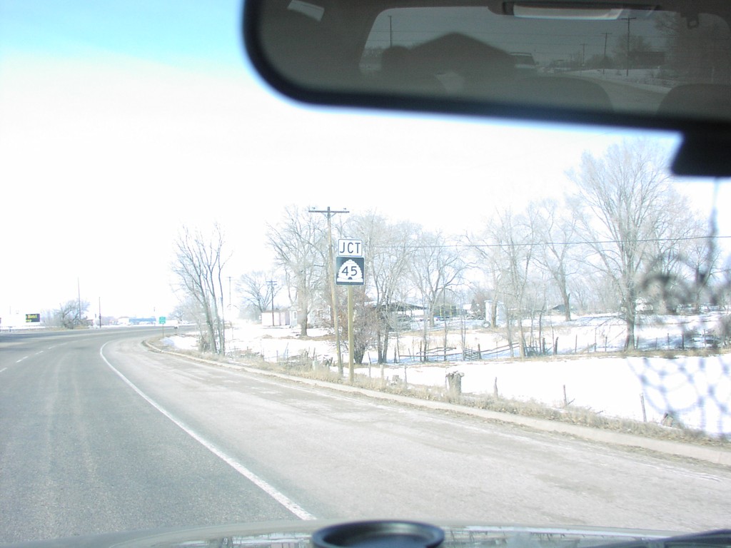
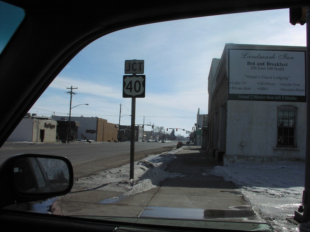
US-40 West Jct. UT-45
Jct. UT-45 on US-40 West
Taken 02-01-2004

 Vernal
Uintah County
Utah
United States
Vernal
Uintah County
Utah
United States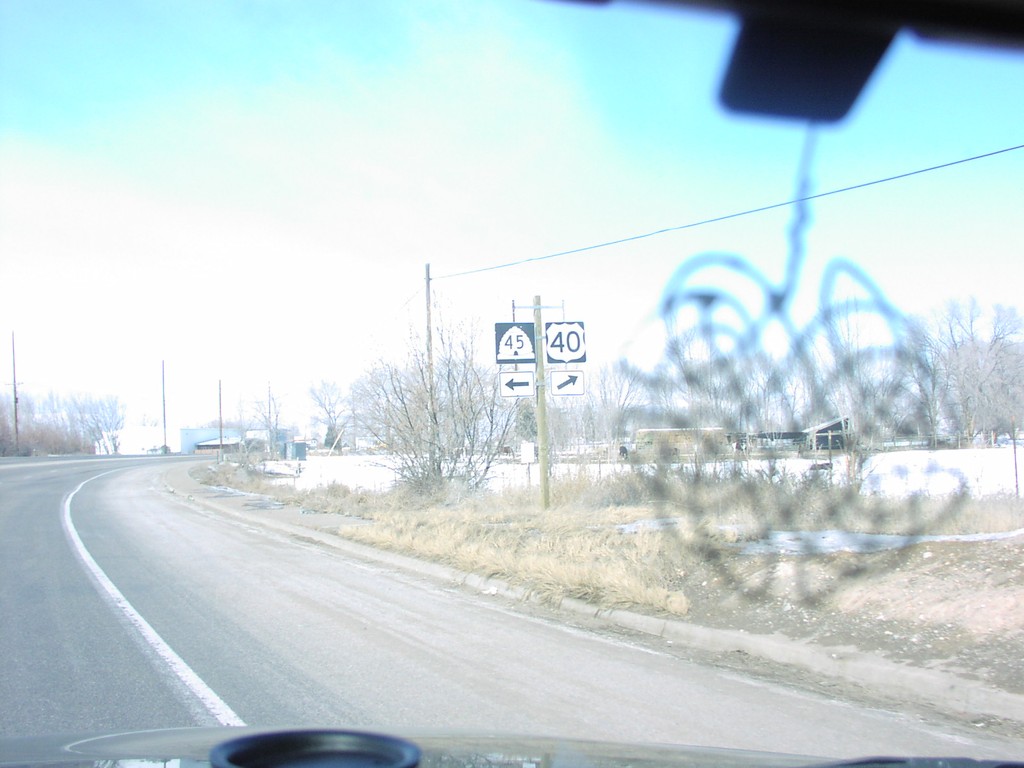
US-40 West at UT-45 Jct.
UT-45/US-40 Junction
Taken 02-01-2004
Vernal
Uintah County
Utah
United States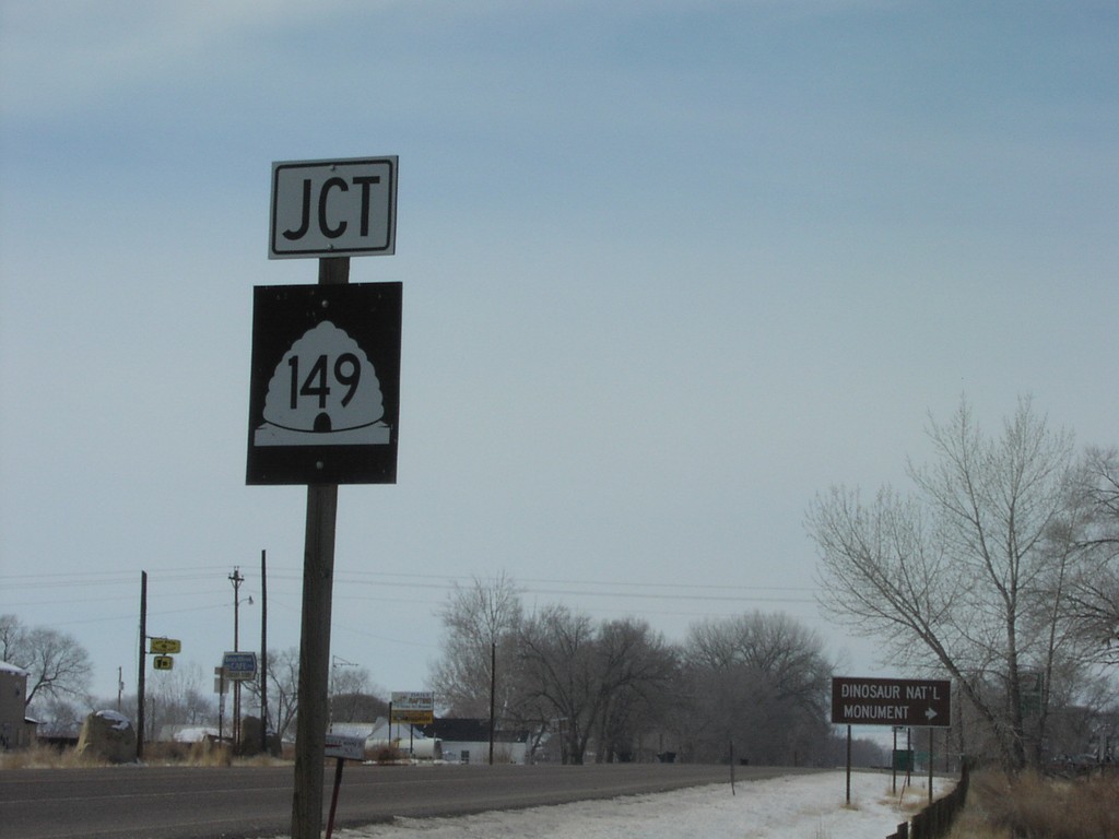
US-40 West at UT-149 Jct.
Jct. UT-49 on US-40 West
Taken 02-01-2004
 Jensen
Uintah County
Utah
United States
Jensen
Uintah County
Utah
United States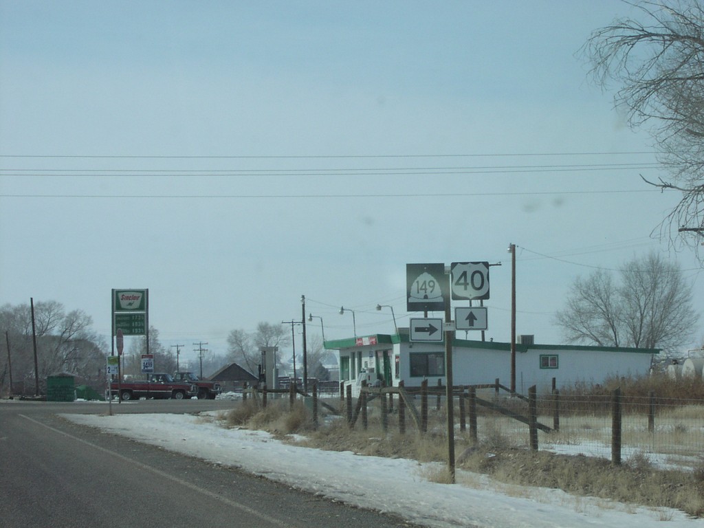
US-40 West at UT-149 Jct.
US-40/UT-145 Junction
Taken 02-01-2004
Jensen
Uintah County
Utah
United States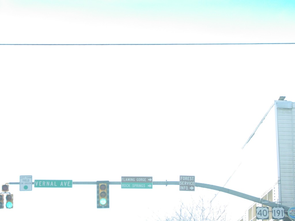
US-40 West at US-191
US-191/US-40 Junction on US-40 East
Taken 02-01-2004
 Vernal
Uintah County
Utah
United States
Vernal
Uintah County
Utah
United States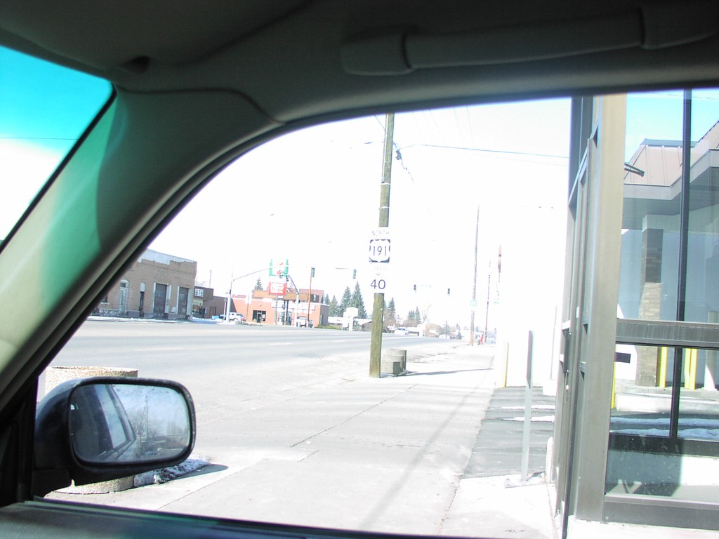
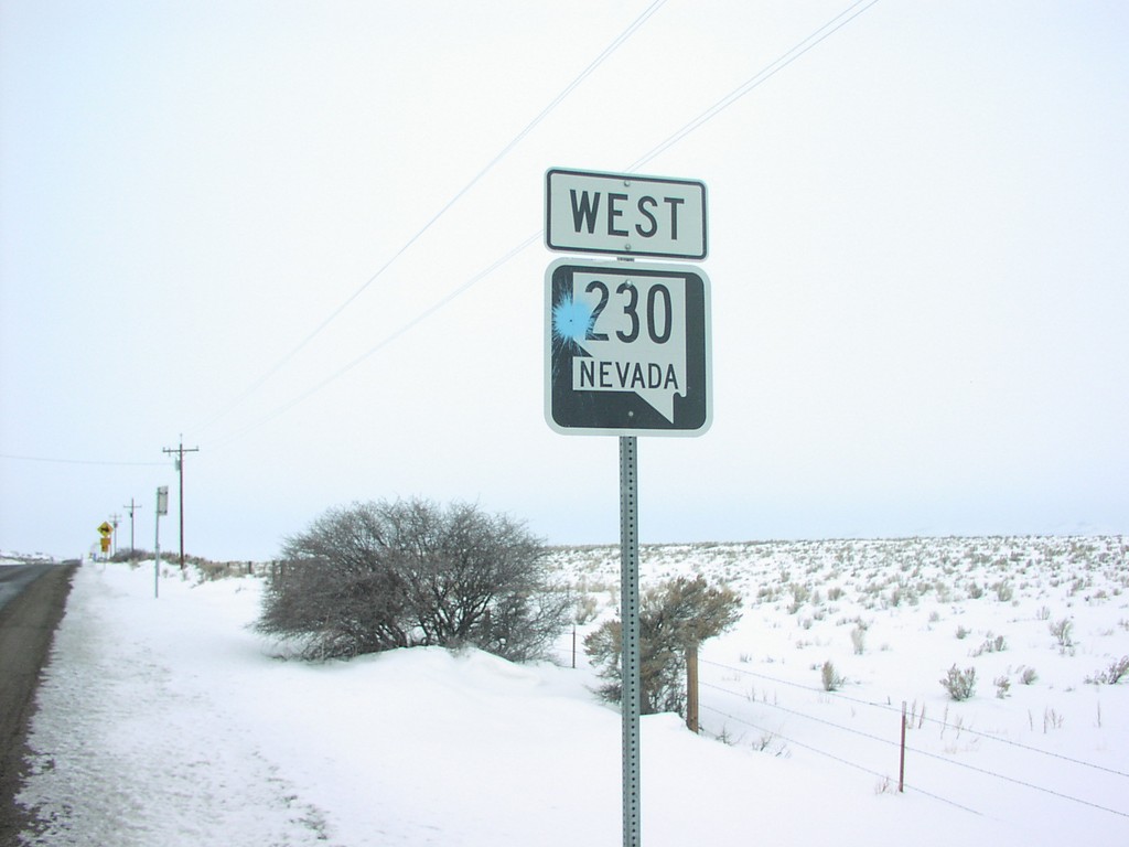
NV-230 West of I-80 Exit 343
NV-230 West Shield
Taken 02-01-2004
 Wells
Elko County
Nevada
United States
Wells
Elko County
Nevada
United States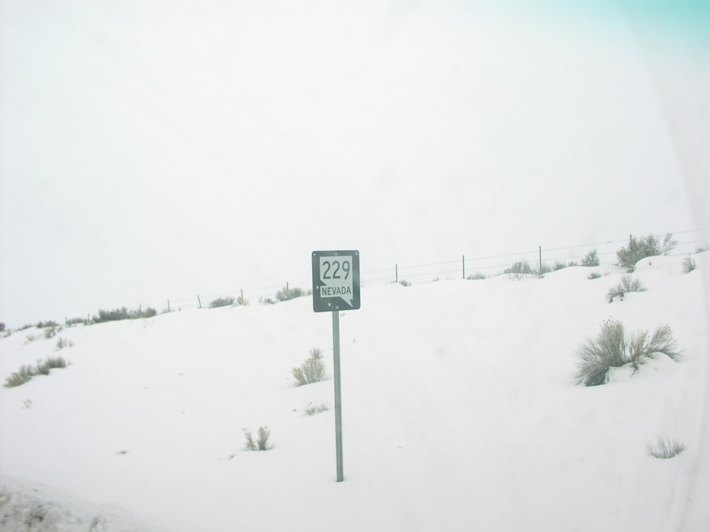
NV-229 South of I-80 at Exit 321
NV-229 Shield on NV-229 South
Taken 02-01-2004
 Elko
Elko County
Nevada
United States
Elko
Elko County
Nevada
United States
NV-225 North in Elko
NV-225 North Shield Without Nevada Text
Taken 02-01-2004
 Elko
Elko County
Nevada
United States
Elko
Elko County
Nevada
United States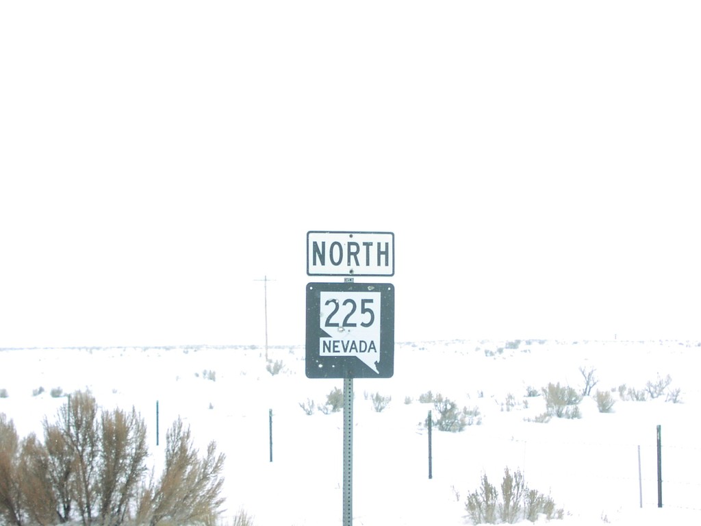
Jct. US-40 - US-191 South
Jct. US-40 on US-191 South
Taken 02-01-2004
Vernal
Uintah County
Utah
United States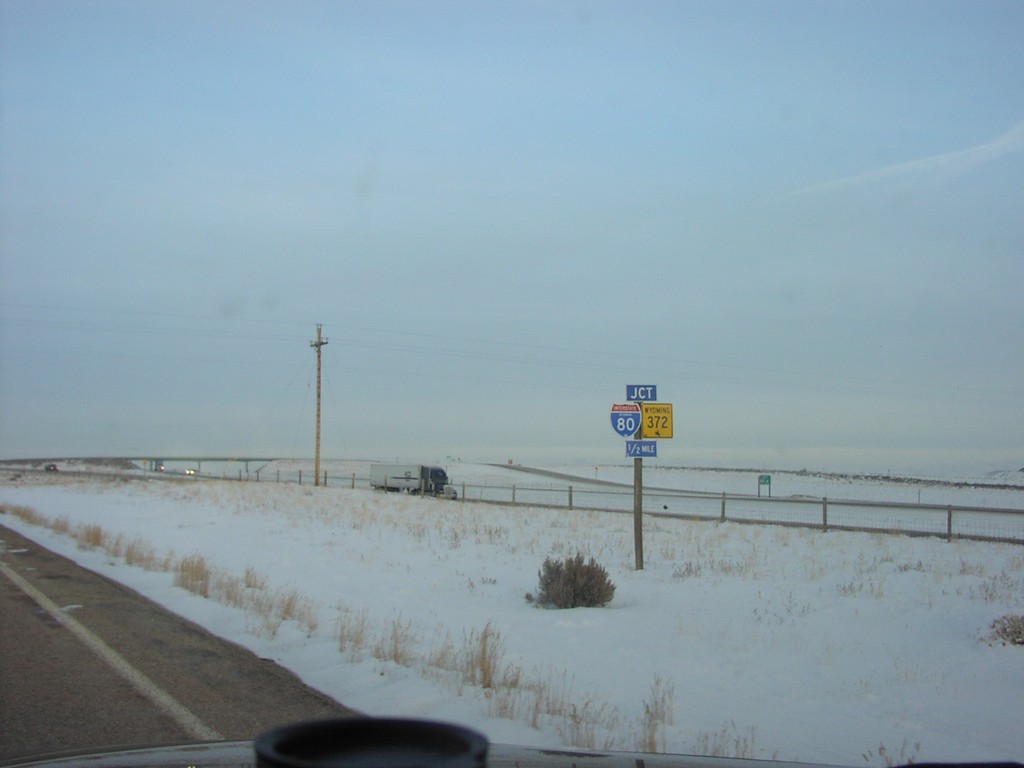
Jct. I-80/WY-372 on WY-374 East
WY-374 East Approaching I-80 and WY-372
Taken 02-01-2004

 Green River
Sweetwater County
Wyoming
United States
Green River
Sweetwater County
Wyoming
United States
ID-38 East - To I-15
To I-15/ID-38 in Malad
Taken 02-01-2004
 Malad City
Oneida County
Idaho
United States
Malad City
Oneida County
Idaho
United States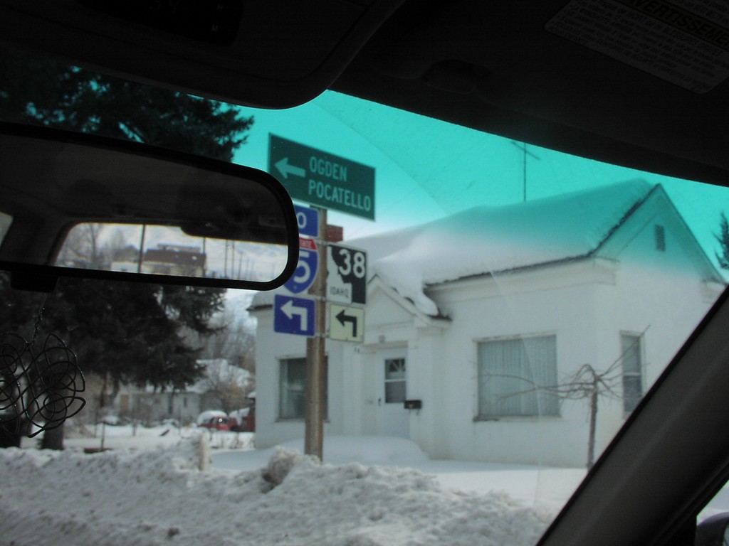
ID-38 East - To I-15
ID-38/To I-15/Ogden/Pocatello in
Taken 02-01-2004
Malad City
Oneida County
Idaho
United States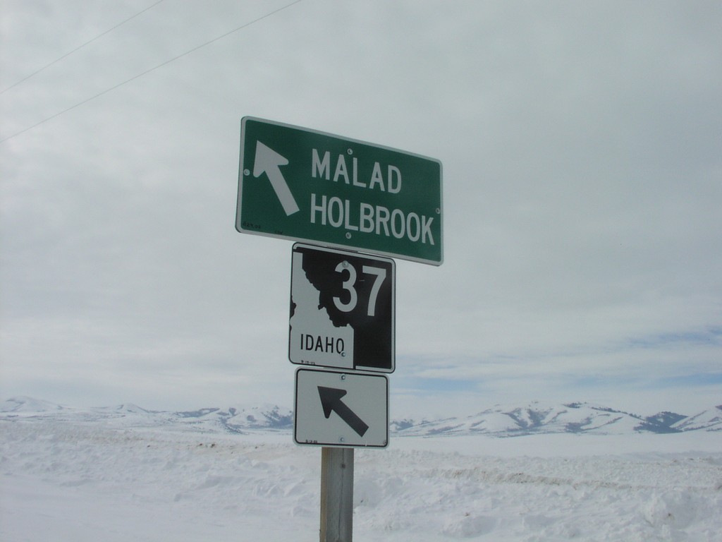
ID-37 South to Malad/Holbrook
ID-37 south. Merge left to continue south on ID-37 to Malad and Holbrook.
Taken 02-01-2004
 Rockland
Power County
Idaho
United States
Rockland
Power County
Idaho
United States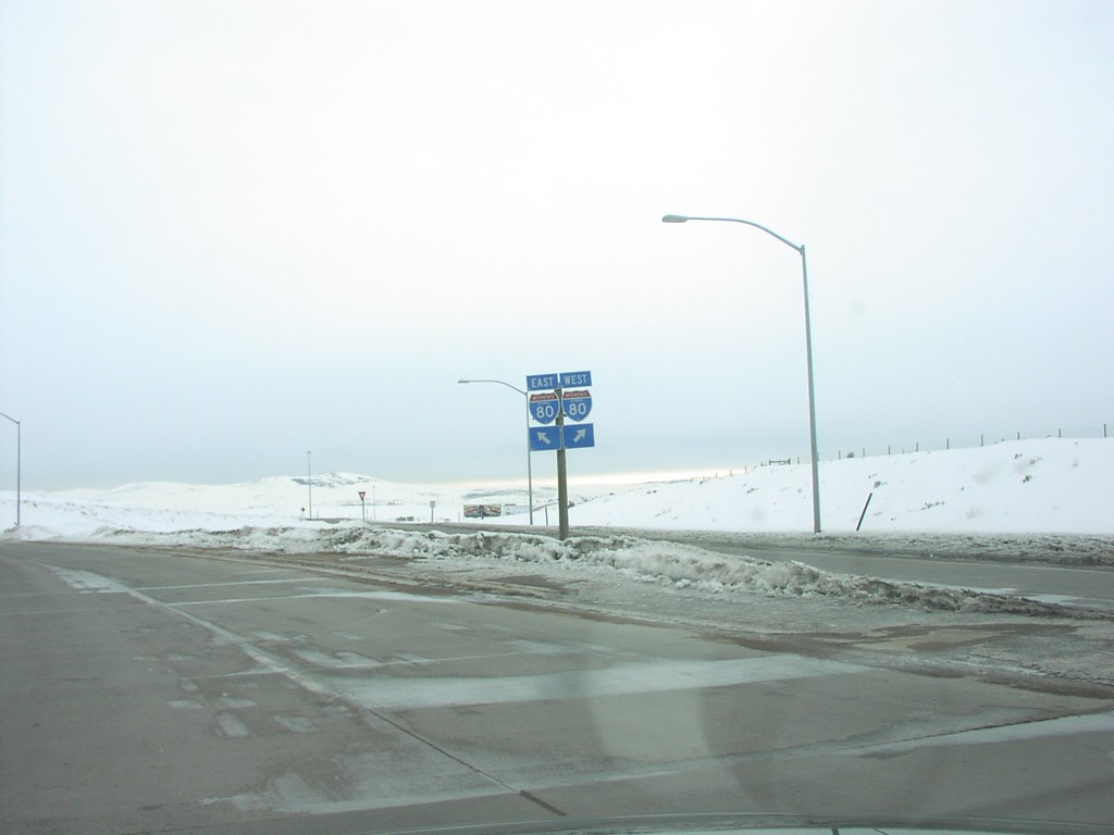
I-80 Onramp at Exit 3
I-80 East/West Shields at I-80 Freeway Entrance at Exit 2
Taken 02-01-2004

 Evanston
Uinta County
Wyoming
United States
Evanston
Uinta County
Wyoming
United States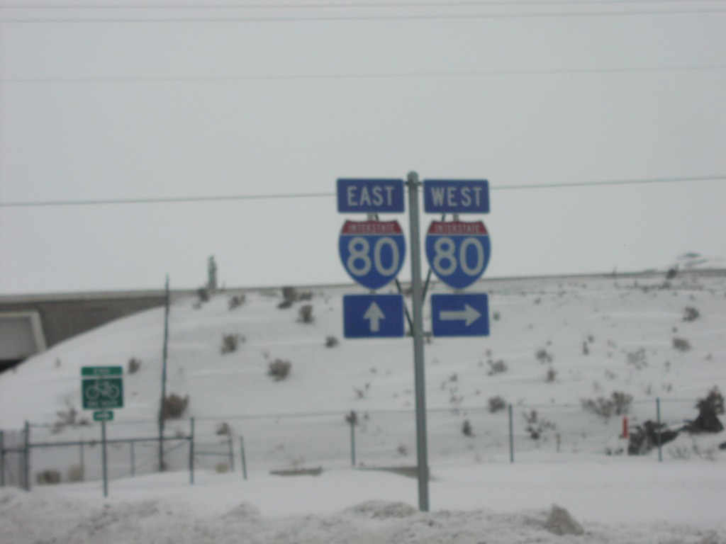
I-80 Exit 351 Onramp
I-80 East/West Shields at West Wells Exit, in Wells
Taken 02-01-2004
Wells
Elko County
Nevada
United States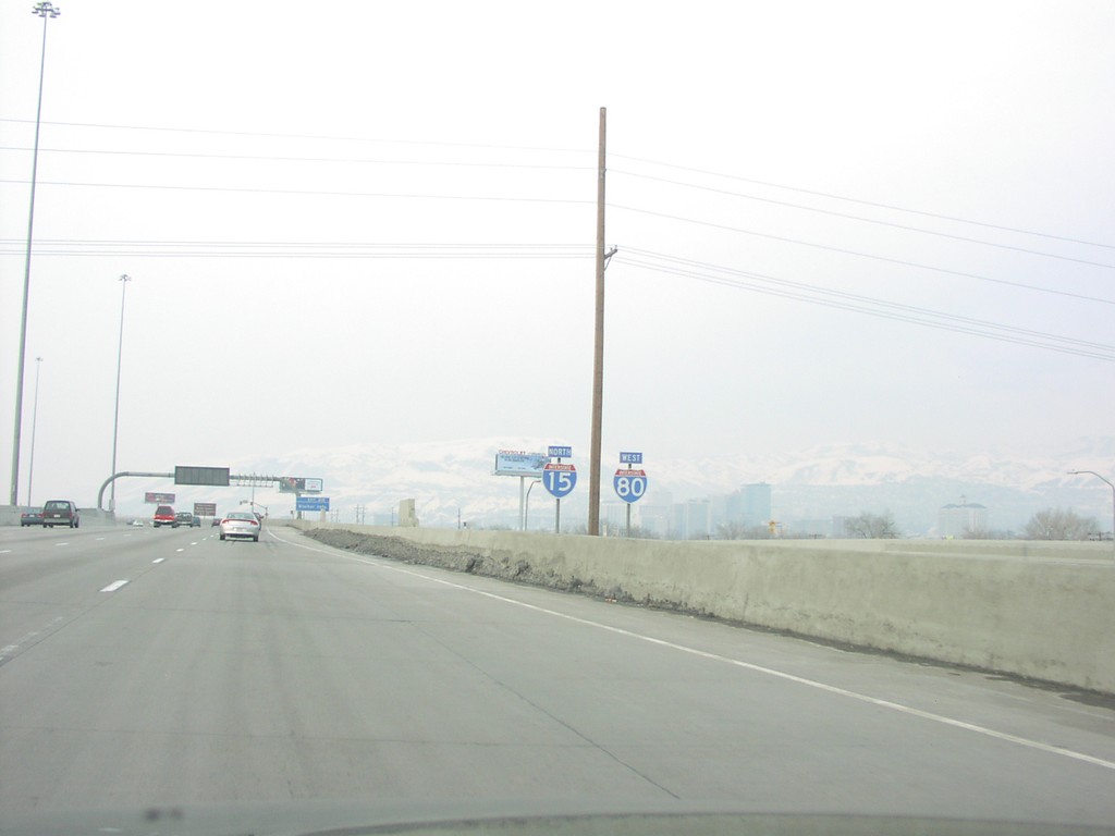
I-15 North/I-80 West
I15 North, I-80 West Split
Taken 02-01-2004
 Salt Lake City
Salt Lake County
Utah
United States
Salt Lake City
Salt Lake County
Utah
United States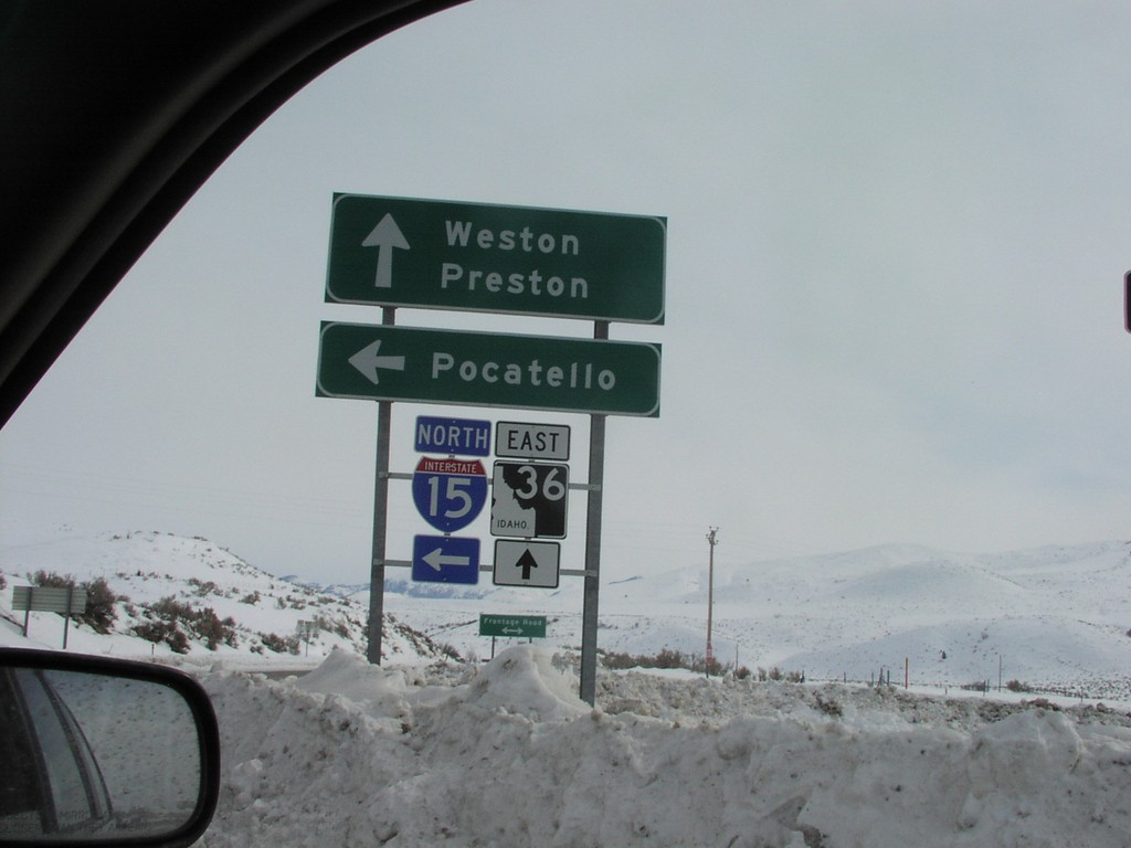
I-15 North - Exit 17 Offramp at ID-36
I-15 North - Exit 17 Offramp at ID-36. Use ID-36 east for Weston and Preston. Continue north on I-15 for Pocatello.
Taken 02-01-2004
Malad City
Oneida County
Idaho
United States