Signs Tagged With Shield
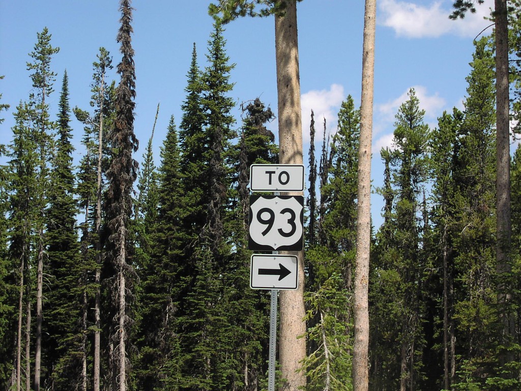
To US-93 at Lost Trail Pass Rest Area
US-93 Shield at Lost Trail Pass Rest Area
Taken 07-01-2003
 Sula
Ravalli County
Montana
United States
Sula
Ravalli County
Montana
United States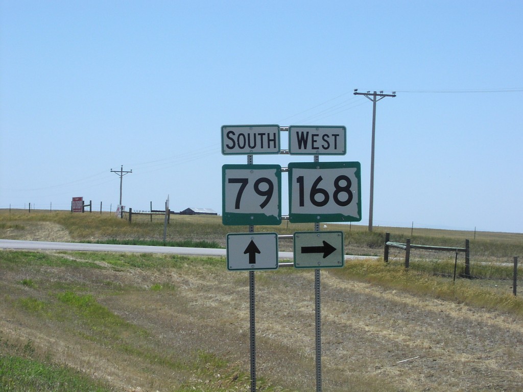
SD-79 South at SD-168 West
SD-79/SD-168 Junction on SD-79 South
Taken 07-01-2003

 Newell
Butte County
South Dakota
United States
Newell
Butte County
South Dakota
United States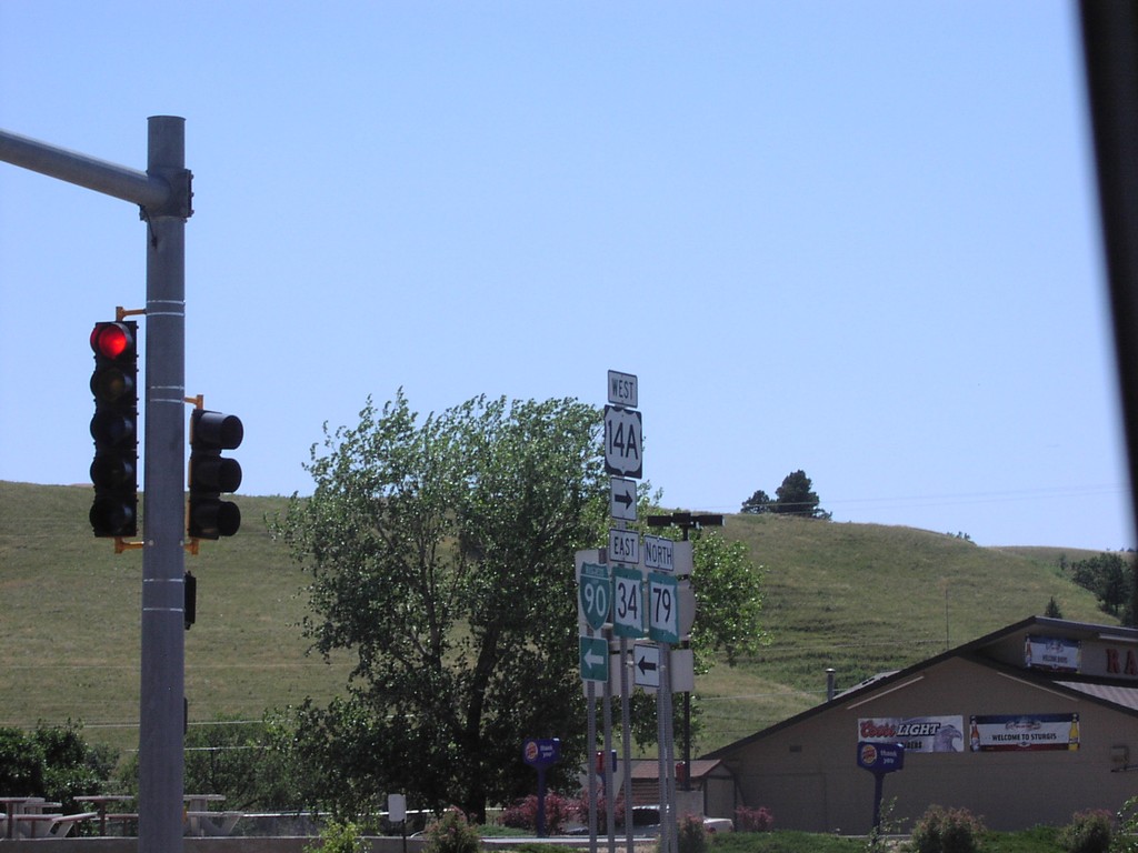
SD-79 South at BL-90/US-14A/SD-34
BL-90/US-14A/SD-34/SD-79 Shields on BL-90 West
Taken 07-01-2003


 Sturgis
Meade County
South Dakota
United States
Sturgis
Meade County
South Dakota
United States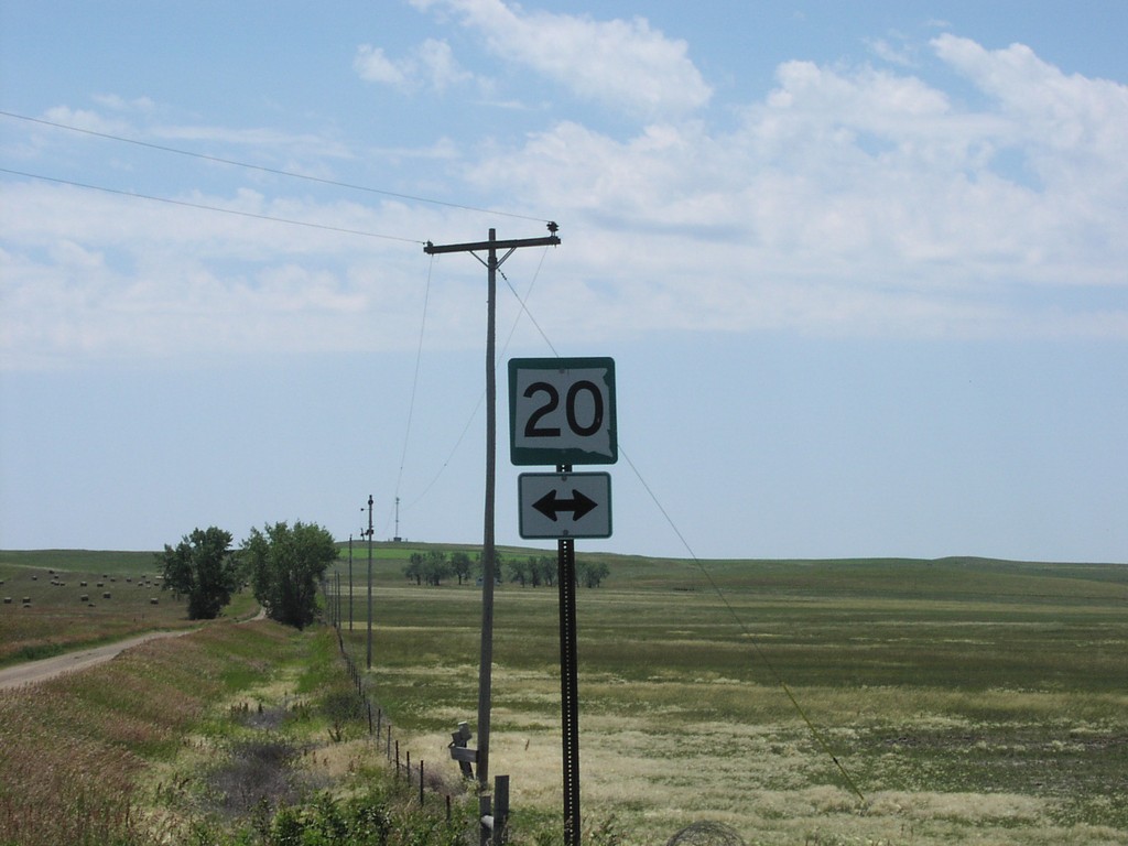
SD-75 South at SD-20
SD-20 Shield at SD-20/SD-75 Junction on SD-75 South
Taken 07-01-2003

 Bison
Perkins County
South Dakota
United States
Bison
Perkins County
South Dakota
United States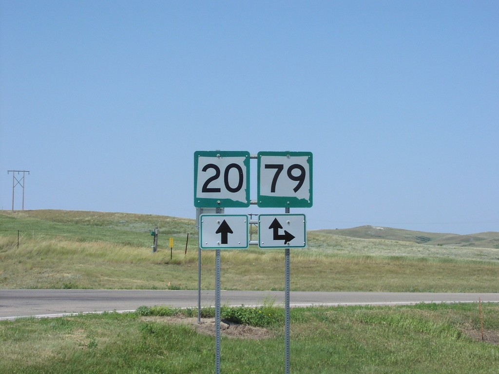
SD-20 West at SD-79
SD-20/SD-79 Junction on SD-20 West
Taken 07-01-2003
Reva
Harding County
South Dakota
United States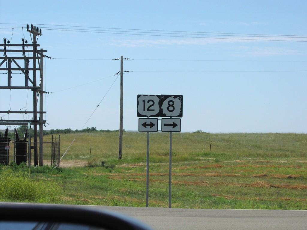
ND-8 South at US-12
ND-8 at US-12 Junction on ND-8 South
Taken 07-01-2003

 Hettinger
Adams County
North Dakota
United States
Hettinger
Adams County
North Dakota
United States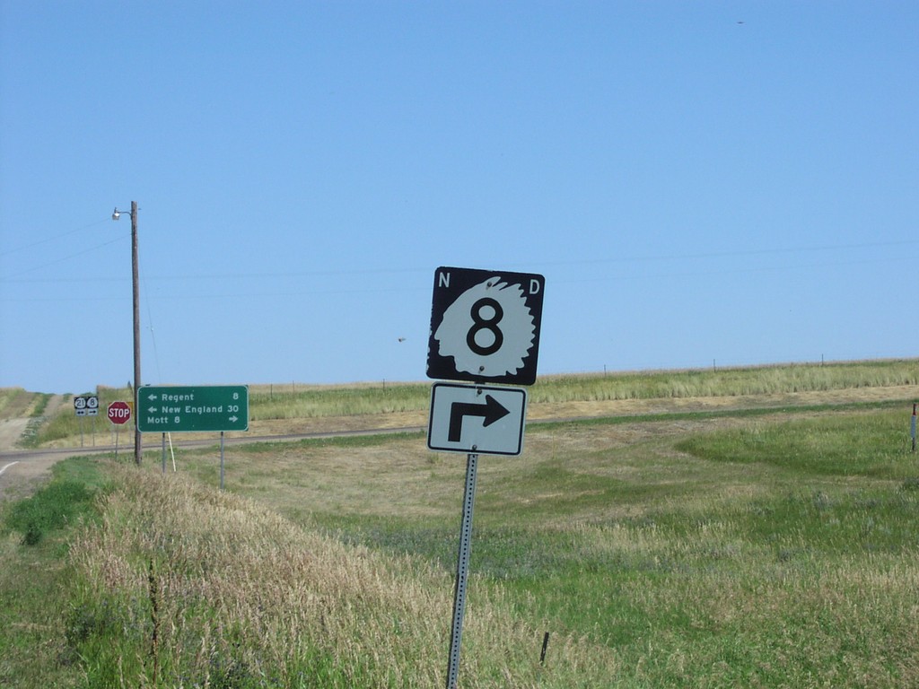
ND-8 South at ND-21
ND-8 Shield at ND-8/ND-21 Junction
Taken 07-01-2003
 Regent
Hettinger County
North Dakota
United States
Regent
Hettinger County
North Dakota
United States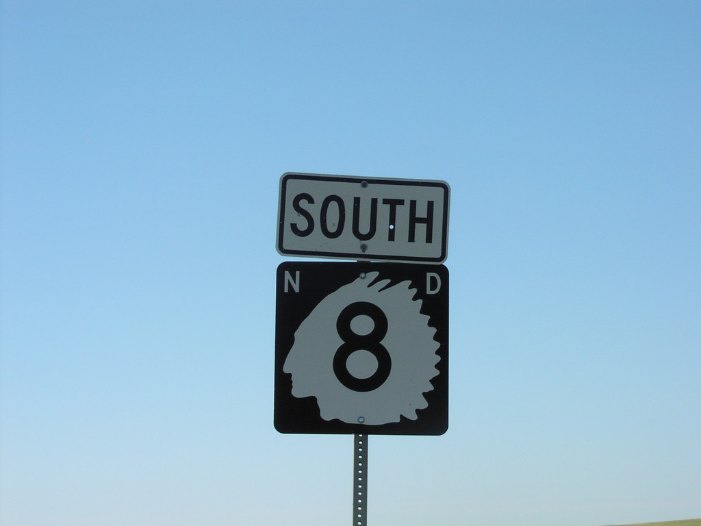
ND-8 South
ND-8 Shield on ND-8 South
Taken 07-01-2003
Mott
Hettinger County
North Dakota
United States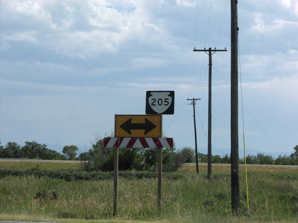
MTS-205 at Missouri Headwaters SP
MTS-205 Shield at Missouri Headwaters State Park
Taken 07-01-2003
 Three Forks
Gallatin County
Montana
United States
Three Forks
Gallatin County
Montana
United States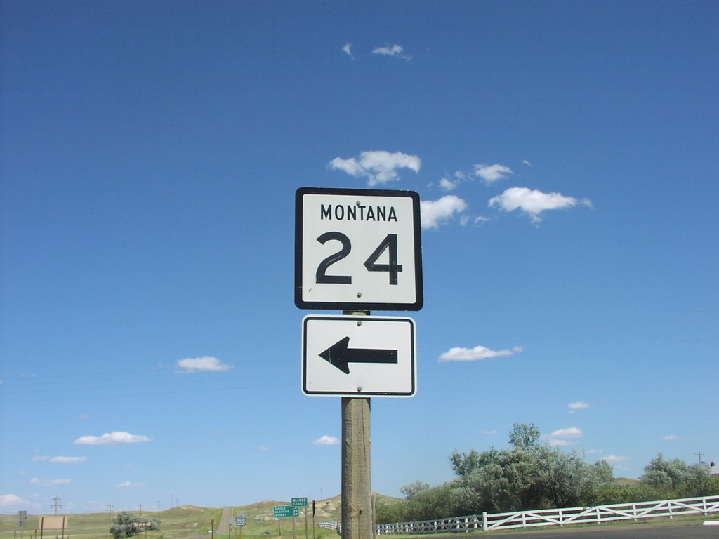
MT-200 East at MT-24
MT-24 Shield on MT-200 East
Taken 07-01-2003

 Brockway
Garfield County
Montana
United States
Brockway
Garfield County
Montana
United States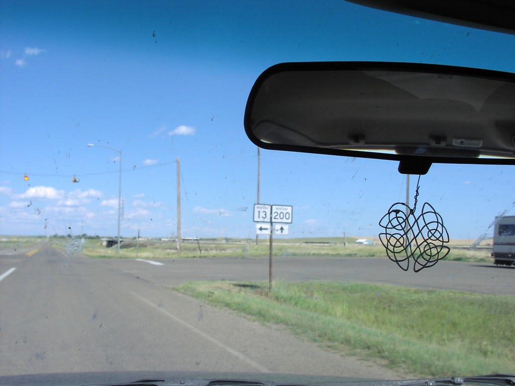
MT-200 East at MT-13 North
MT-13/MT-200 Junction
Taken 07-01-2003
 Circle
McCone County
Montana
United States
Circle
McCone County
Montana
United States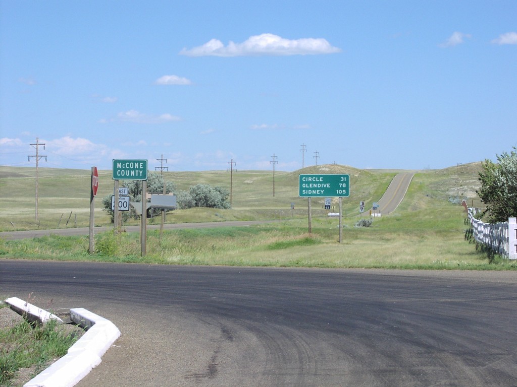
MT-200 East - Entering McCone County
McCone County and Distance Marker To Sidney on MT-200 East
Taken 07-01-2003
Brockway
McCone County
Montana
United States
Jct. NE-29 on US-20 West
Junction NE-29 on US-20 West
Taken 07-01-2003

 Harrison
Sioux County
Nebraska
United States
Harrison
Sioux County
Nebraska
United States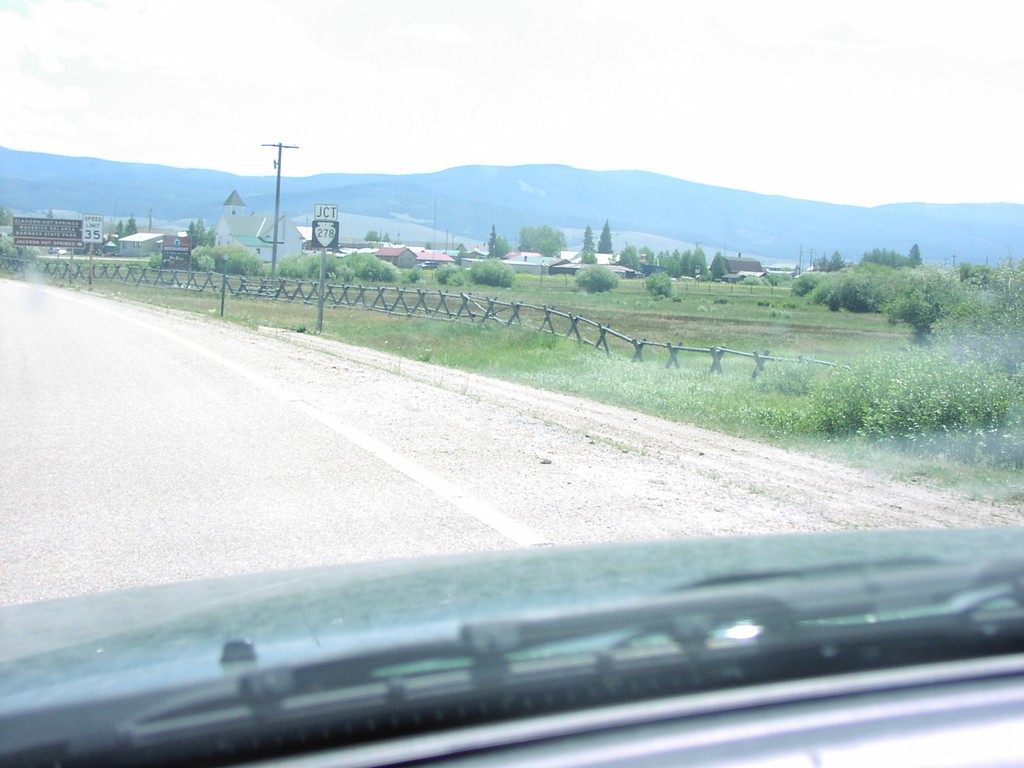
Jct MTS-278 on MT-43
Junction MTS-278 on MT-43 East
Taken 07-01-2003

 Wisdom
Beaverhead County
Montana
United States
Wisdom
Beaverhead County
Montana
United States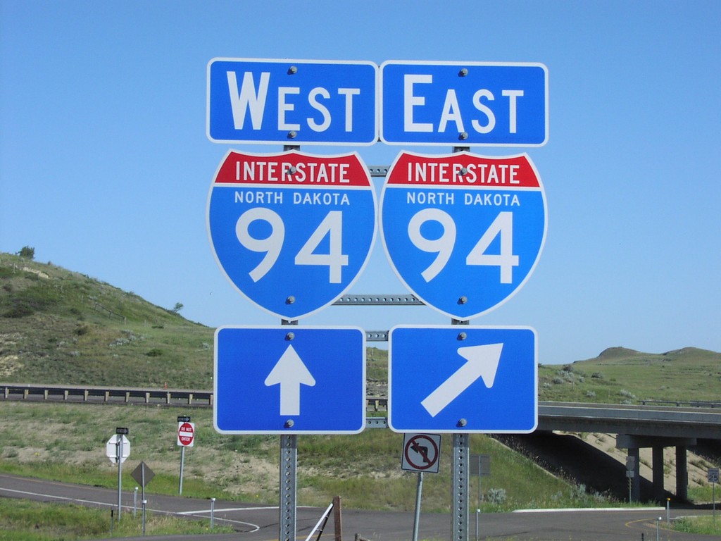
I-94 Onramp
I-94 North Dakota Shields
Taken 07-01-2003
 Rider
Golden Valley County
North Dakota
United States
Rider
Golden Valley County
North Dakota
United States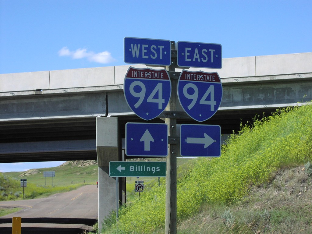
I-94 Exit 231 Onramp
I-94 Freeway Entrance
Taken 07-01-2003
Hodges
Dawson County
Montana
United States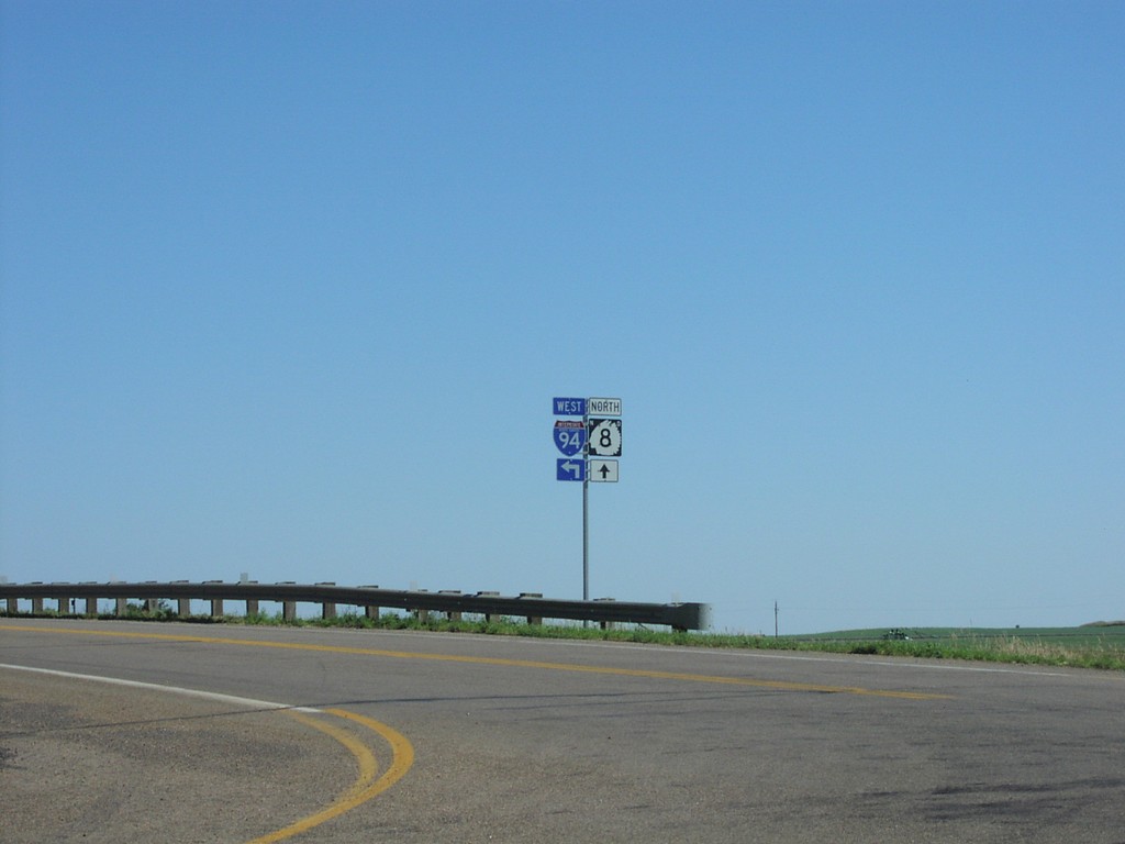
I-94 East Exit 84 Onramp on ND-8
I-94 Freeway Entrance on ND-8 South
Taken 07-01-2003
Richardton
Stark County
North Dakota
United States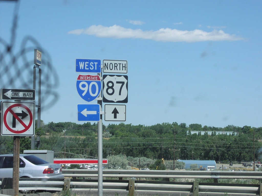
I-90 East Exit 452 Offramp
US-87 North at I-90 Freeway Entrance
Taken 07-01-2003
 Billings
Yellowstone County
Montana
United States
Billings
Yellowstone County
Montana
United States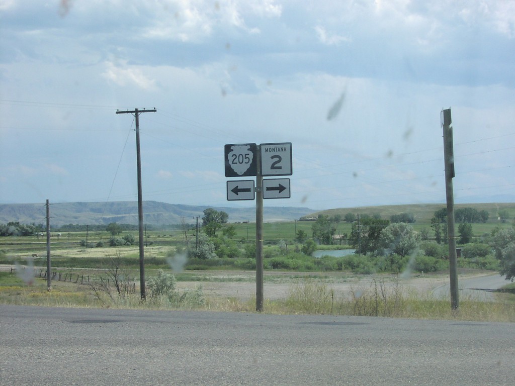
I-90 at Exit 278 Offramp at MT-2/MTS-205
MT-2/MTS-205 at I-90 Junction
Taken 07-01-2003
 Three Forks
Gallatin County
Montana
United States
Three Forks
Gallatin County
Montana
United States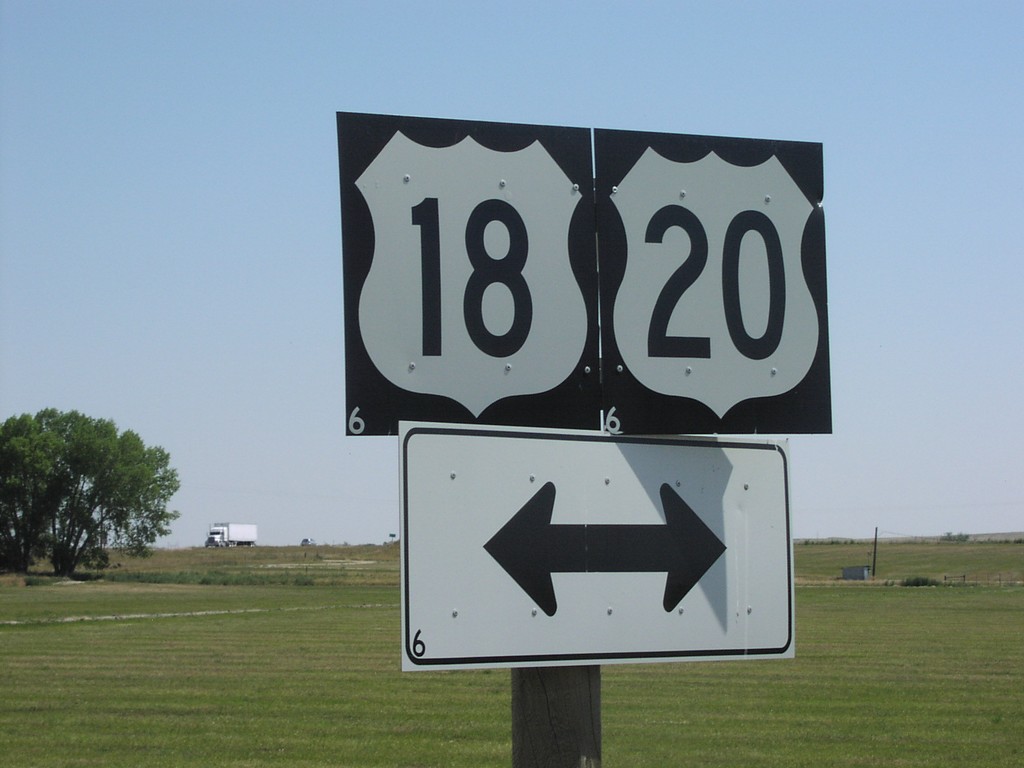
End WY-319 at US-18/US-20
US-18/US-20 Shields at End of WY-319
Taken 07-01-2003

 Orin
Converse County
Wyoming
United States
Orin
Converse County
Wyoming
United States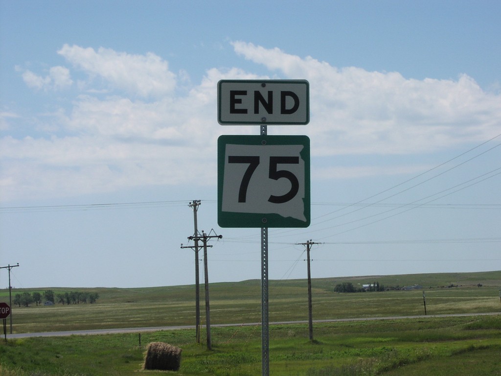
End SD-75 at SD-20
End SD-75 South at SD-20
Taken 07-01-2003
Bison
Perkins County
South Dakota
United States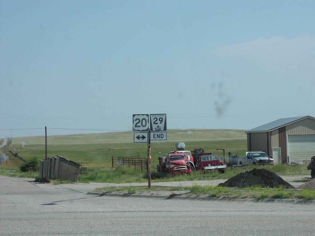
End NE-29 North at US-20
End NE-29 at US-20
Taken 07-01-2003
Harrison
Sioux County
Nebraska
United States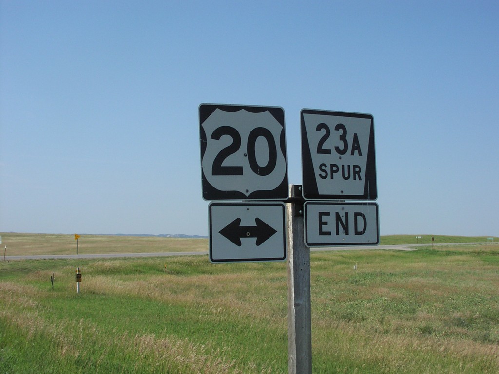
End NE-23A Spur at US-20
End NE-23A Spur at US-20
Taken 07-01-2003
 Whitney
Dawes County
Nebraska
United States
Whitney
Dawes County
Nebraska
United States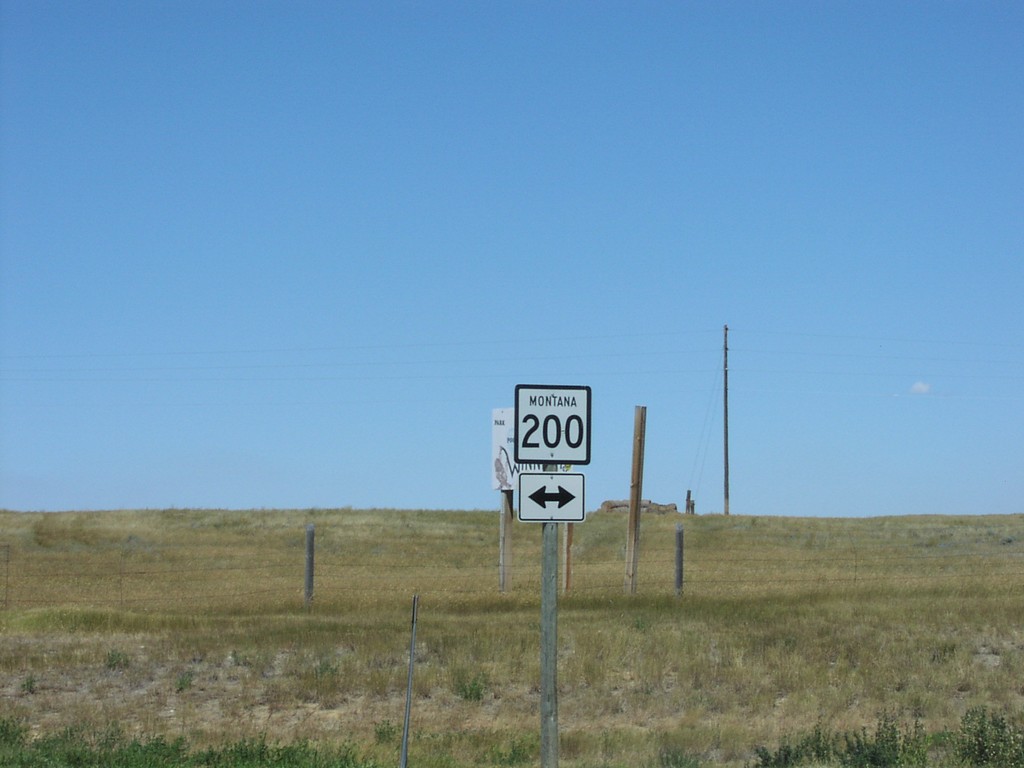
End MTS-244 North at MT-200
MT-200 Shield At Northern Terminus of MTS-244
Taken 07-01-2003
 Winnett
Petroleum County
Montana
United States
Winnett
Petroleum County
Montana
United States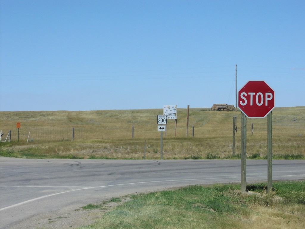
End MTS-244 North at MT-200
MT-200 Shield At Northern Terminus of MTS-244
Taken 07-01-2003
Winnett
Petroleum County
Montana
United States