Signs Tagged With Shield
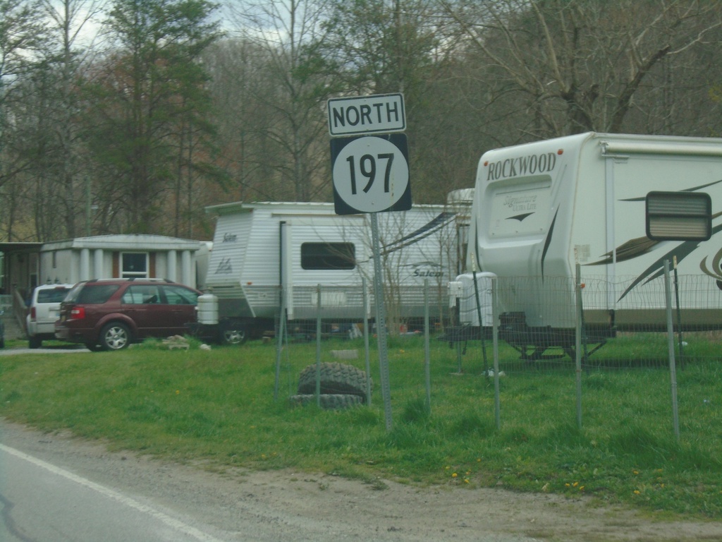
KY-197 North - Shelby Gap
KY-197 North - Shelby Gap
Taken 03-31-2024
 Shelby Gap
Pike County
Kentucky
United States
Shelby Gap
Pike County
Kentucky
United States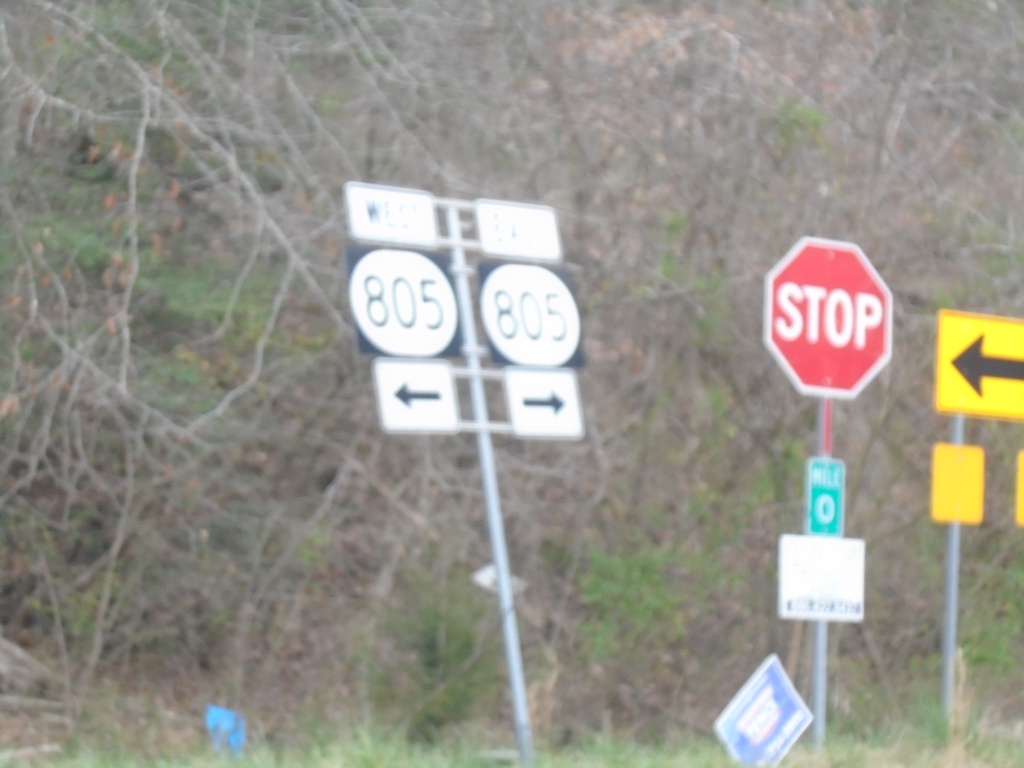
End KY-197 West at KY-805
End KY-197 West at KY-805 at Shelby Gap.
Taken 03-31-2024
 Jenkins
Pike County
Kentucky
United States
Jenkins
Pike County
Kentucky
United States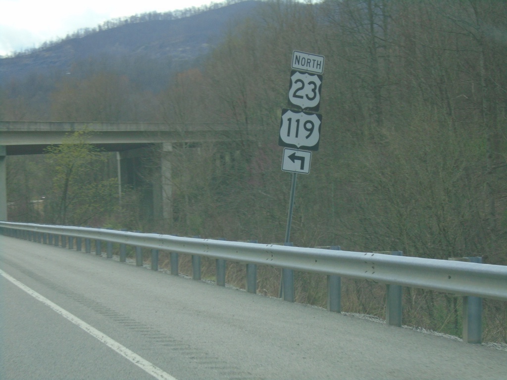
KY-805 East Approaching US-23/US-119 North
KY-805 East approaching US-23/US-119 North in Jenkins.
Taken 03-31-2024

 Jenkins
Letcher County
Kentucky
United States
Jenkins
Letcher County
Kentucky
United States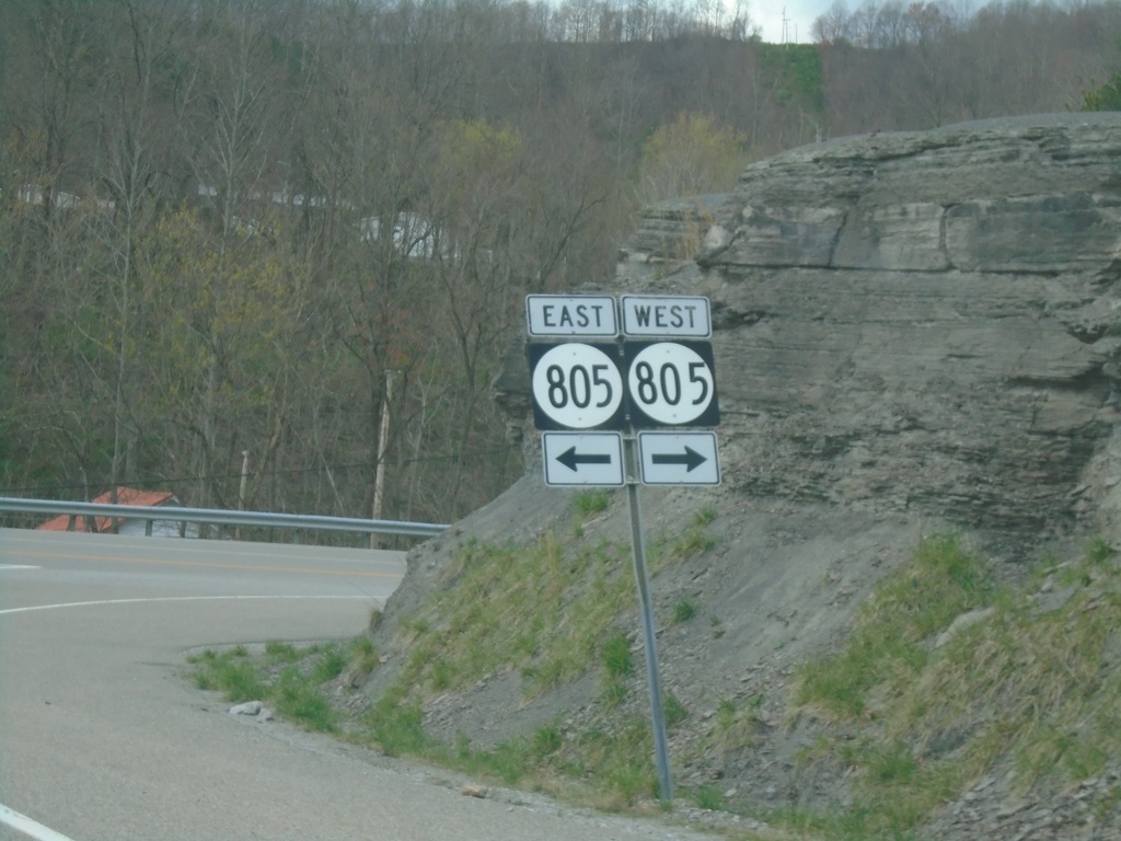
US-23/US-119 North Ramp at KY-805
US-23/US-119 North ramp at KY-805
Taken 03-31-2024
Jenkins
Letcher County
Kentucky
United States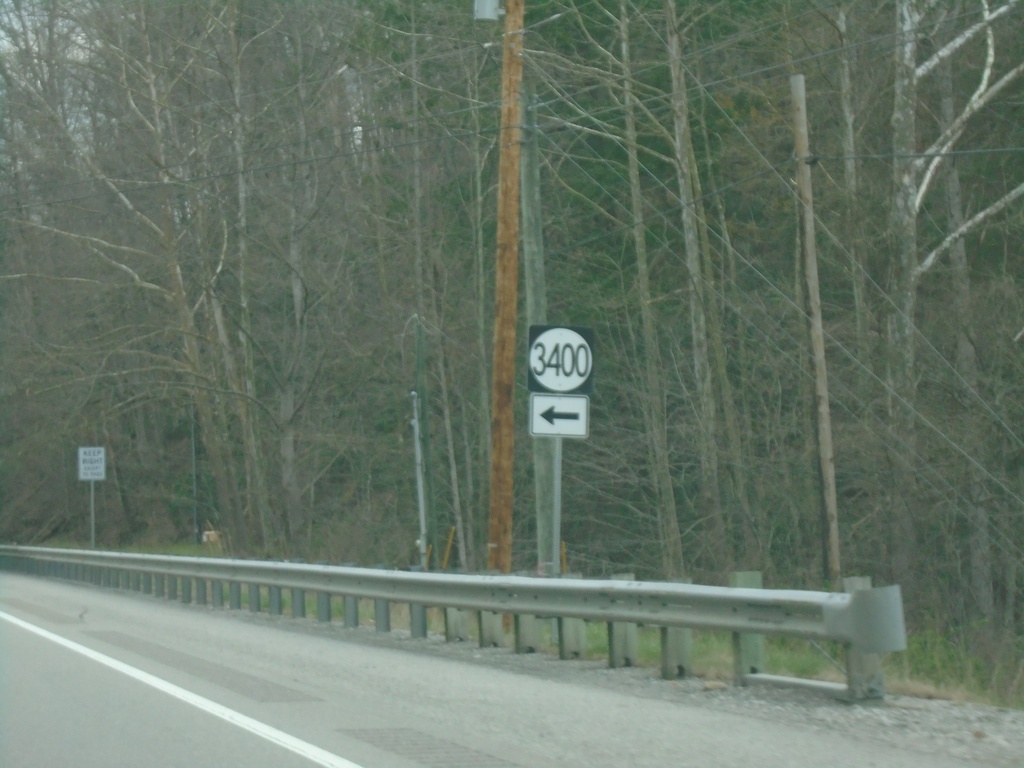
US-119 North at KY-3400
US-119 North at KY-3400 in Letcher County.
Taken 03-31-2024
Jenkins
Letcher County
Kentucky
United States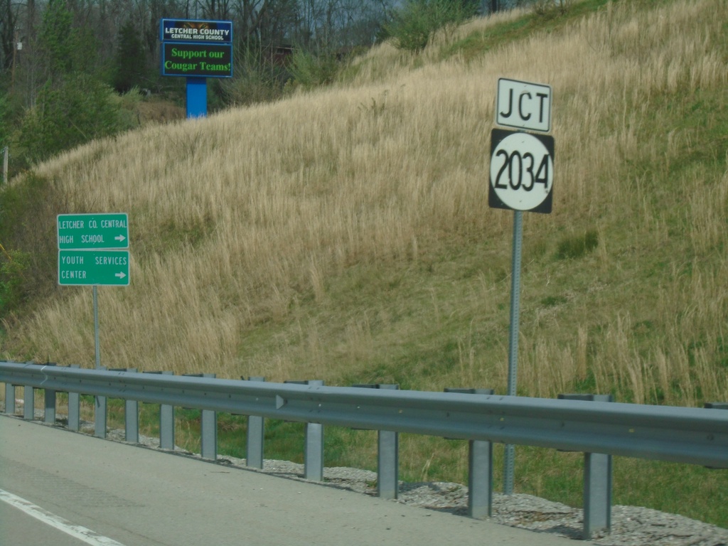
US-119 North at KY-2034
US-119 North at KY-2034 in Ermine.
Taken 03-31-2024
 Whitesburg
Letcher County
Kentucky
United States
Whitesburg
Letcher County
Kentucky
United States
US-119 North Approaching KY-15
US-119 North approaching KY-15 in Whitesburg.
Taken 03-31-2024
 Whitesburg
Letcher County
Kentucky
United States
Whitesburg
Letcher County
Kentucky
United States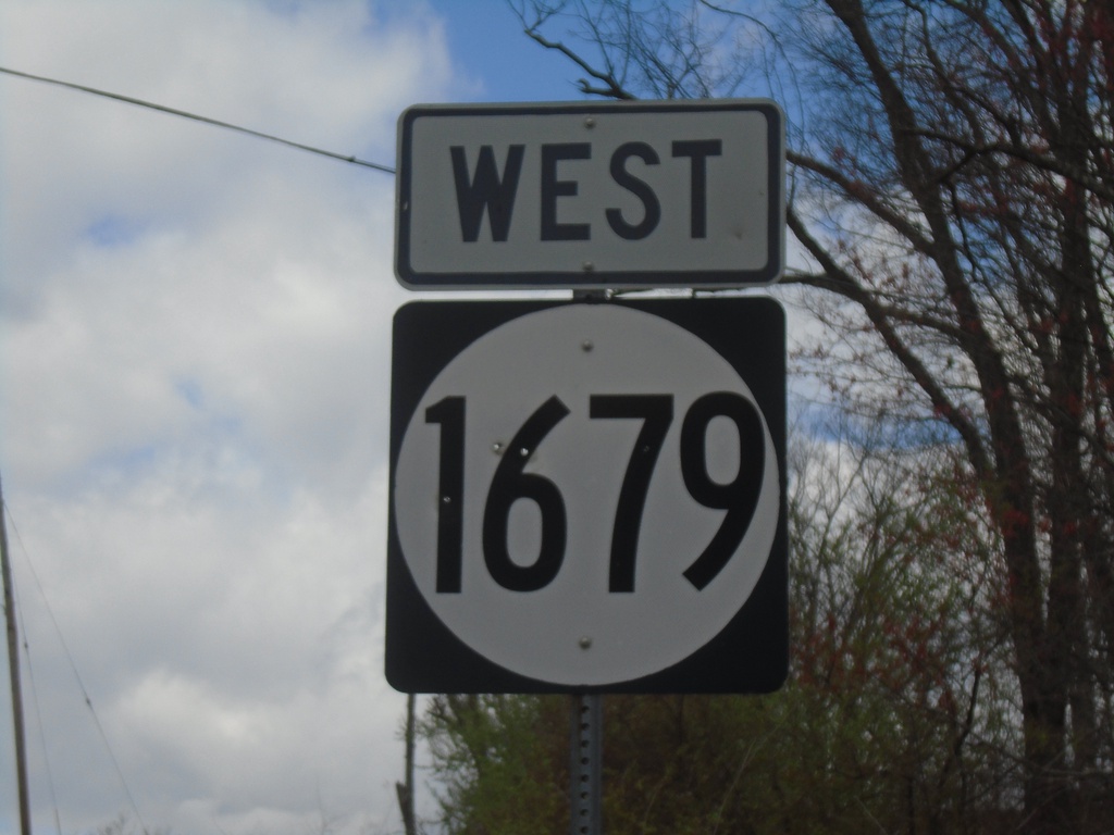
KY-1679 West
KY-1679 West in Letcher County
Taken 03-31-2024
 Cumberland
Letcher County
Kentucky
United States
Cumberland
Letcher County
Kentucky
United States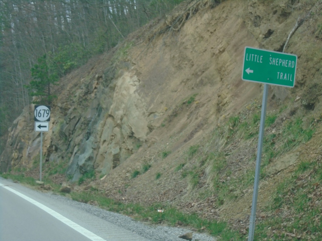
US-119 North Approaching KY-1679
US-119 North approaching KY-1679 to Little Shepherd Trail.
Taken 03-31-2024
Cumberland
Letcher County
Kentucky
United States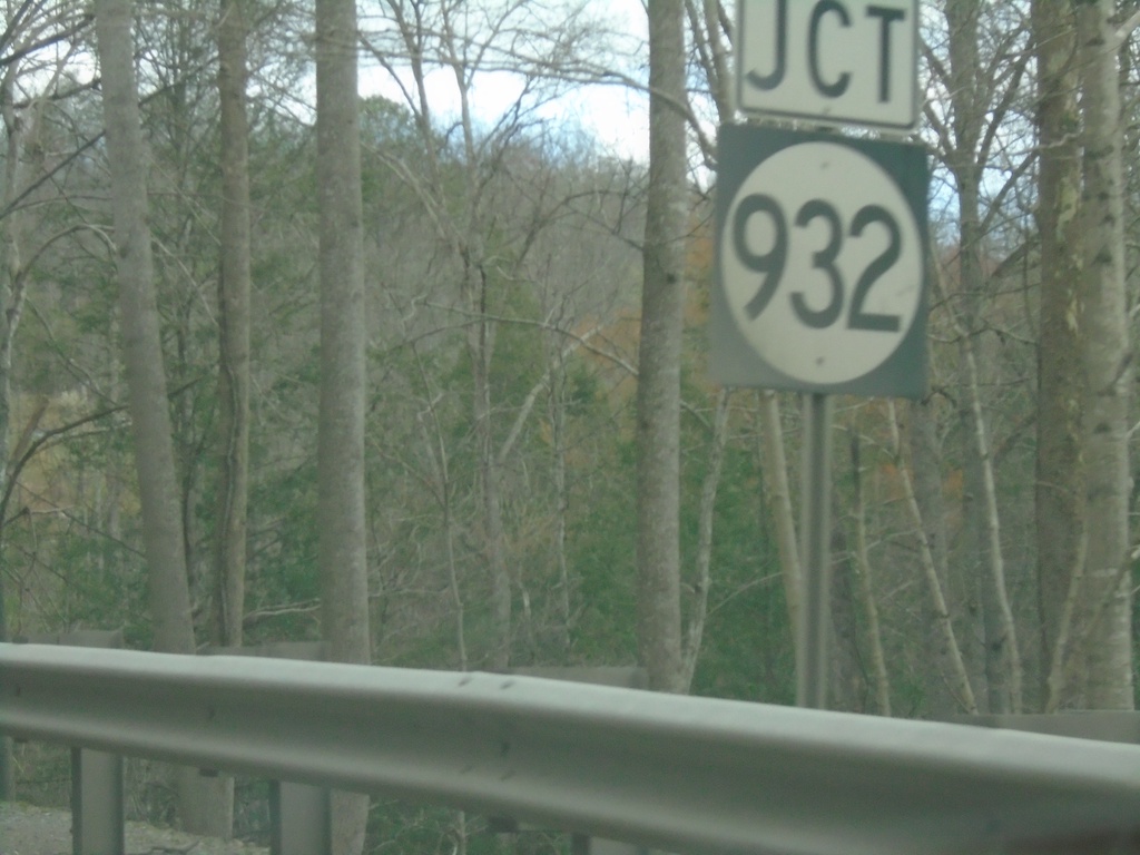
US-119 North Approaching KY-932
US-119 North approaching KY-932 in Letcher County.
Taken 03-31-2024
 Cumberland
Letcher County
Kentucky
United States
Cumberland
Letcher County
Kentucky
United States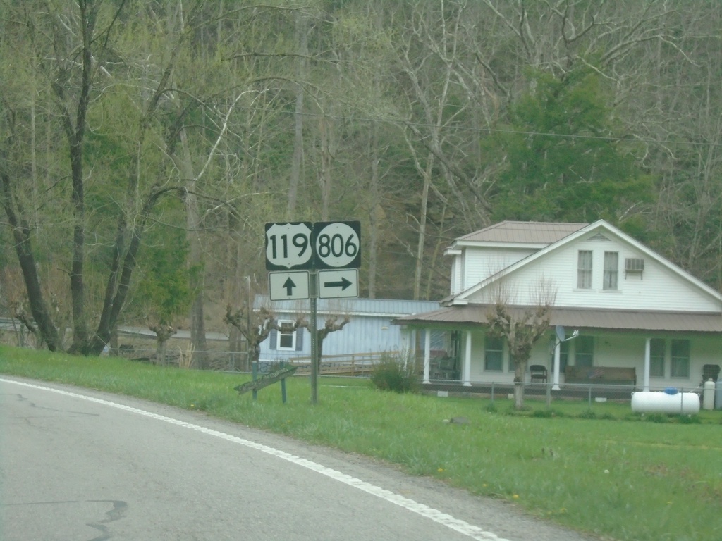
US-119 North at KY-806
US-119 North at KY-806 in Oven Fork.
Taken 03-31-2024
 Eolia
Letcher County
Kentucky
United States
Eolia
Letcher County
Kentucky
United States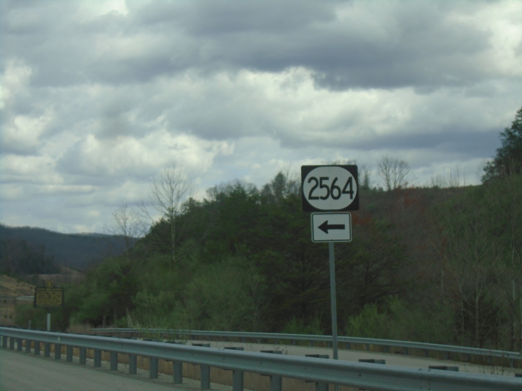
US-119 North at KY-2564
US-119 North at KY-2564 in Letcher County.
Taken 03-31-2024
 Cumberland
Letcher County
Kentucky
United States
Cumberland
Letcher County
Kentucky
United States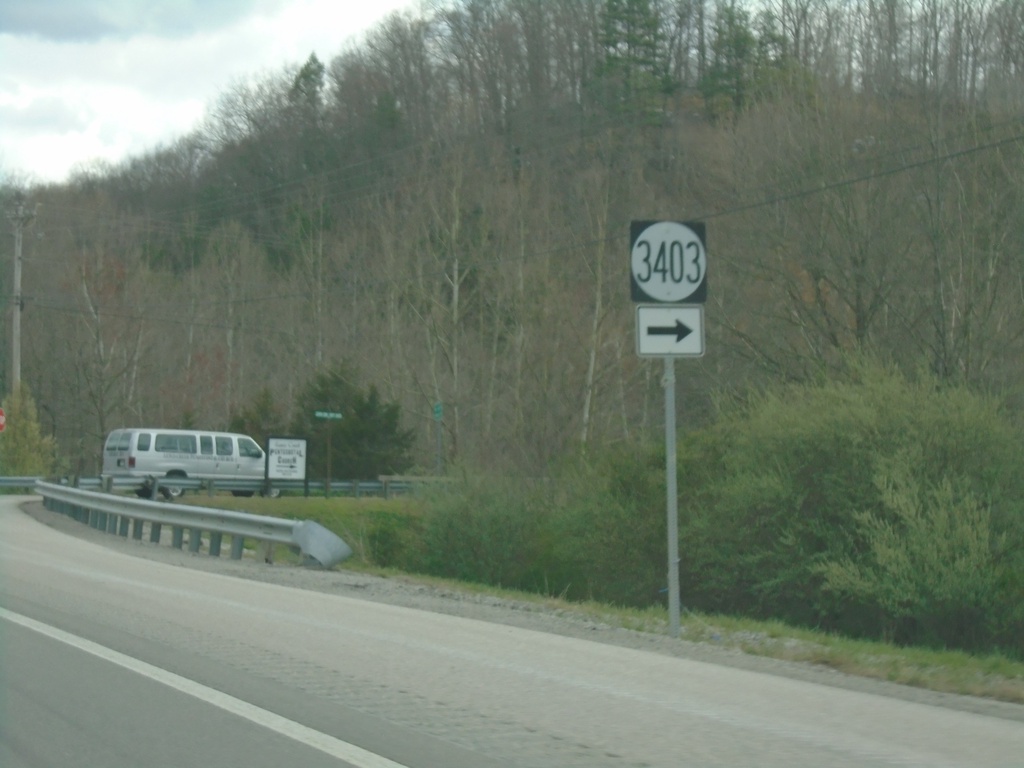
US-119 North at KY-3403
US-119 North at KY-3403 in Partridge.
Taken 03-31-2024
 Partridge
Letcher County
Kentucky
United States
Partridge
Letcher County
Kentucky
United States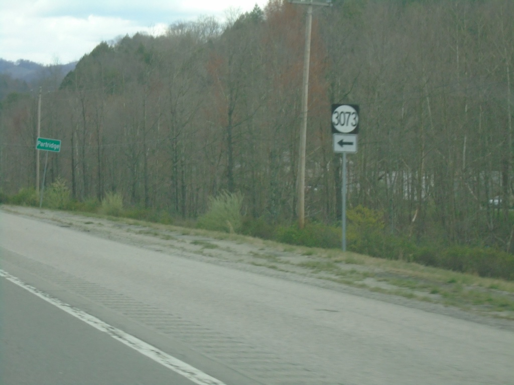
US-119 North at KY-3073
US-119 North at KY-3073 in Partridge.
Taken 03-31-2024
 Cumberland
Letcher County
Kentucky
United States
Cumberland
Letcher County
Kentucky
United States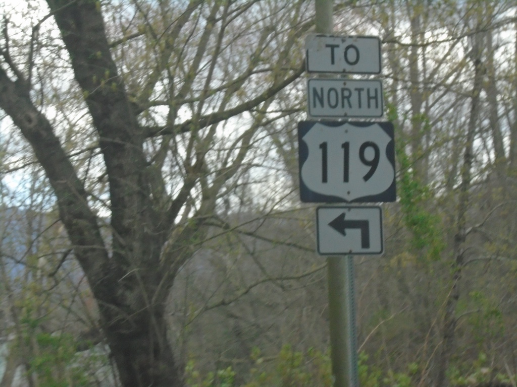
KY-160 East at US-119 North
KY-160 East at US-119 North in Cumberland.
Taken 03-31-2024
 Cumberland
Harlan County
Kentucky
United States
Cumberland
Harlan County
Kentucky
United States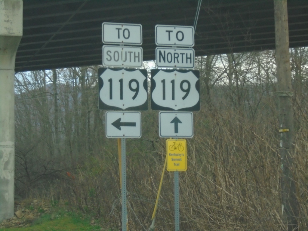
KY-160 East at US-119 in Cumberland
KY-160 East at US-119 in Cumberland. The KY-160/US-119 junction is an interchange, however US-119 is not an expressway through Cumberland.
Taken 03-31-2024
Cumberland
Harlan County
Kentucky
United States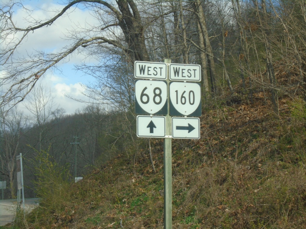
VA-68 West at VA-160 West
VA-68 West at VA-160 West in Wise County.
Taken 03-31-2024

 Appalachia
Wise County
Virginia
United States
Appalachia
Wise County
Virginia
United States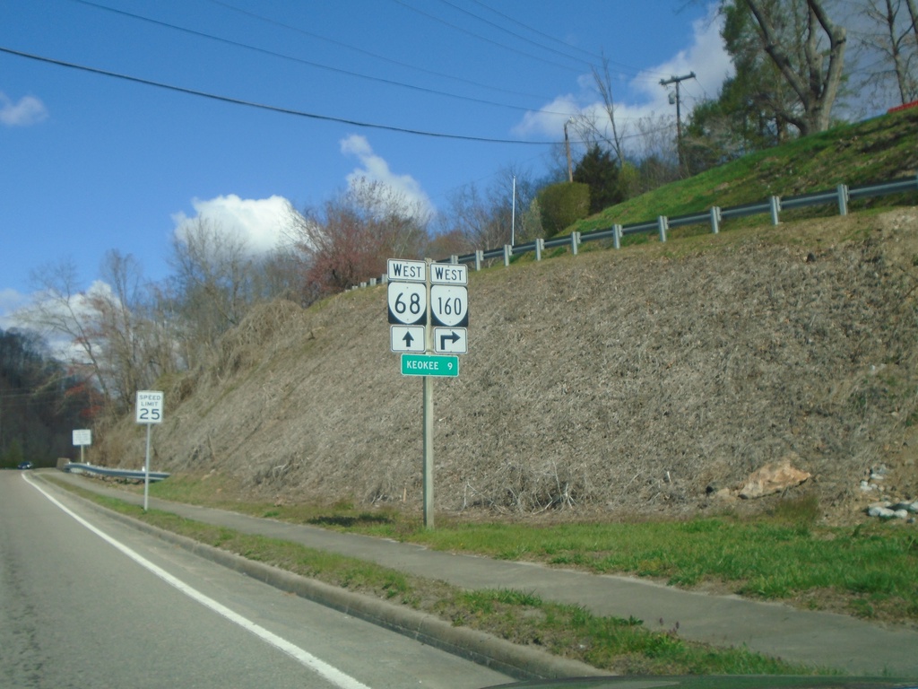
VA-68 West Approaching VA-160 West
VA-68 West approaching VA-160 West. Distance marker to Keokee.
Taken 03-31-2024
Appalachia
Wise County
Virginia
United States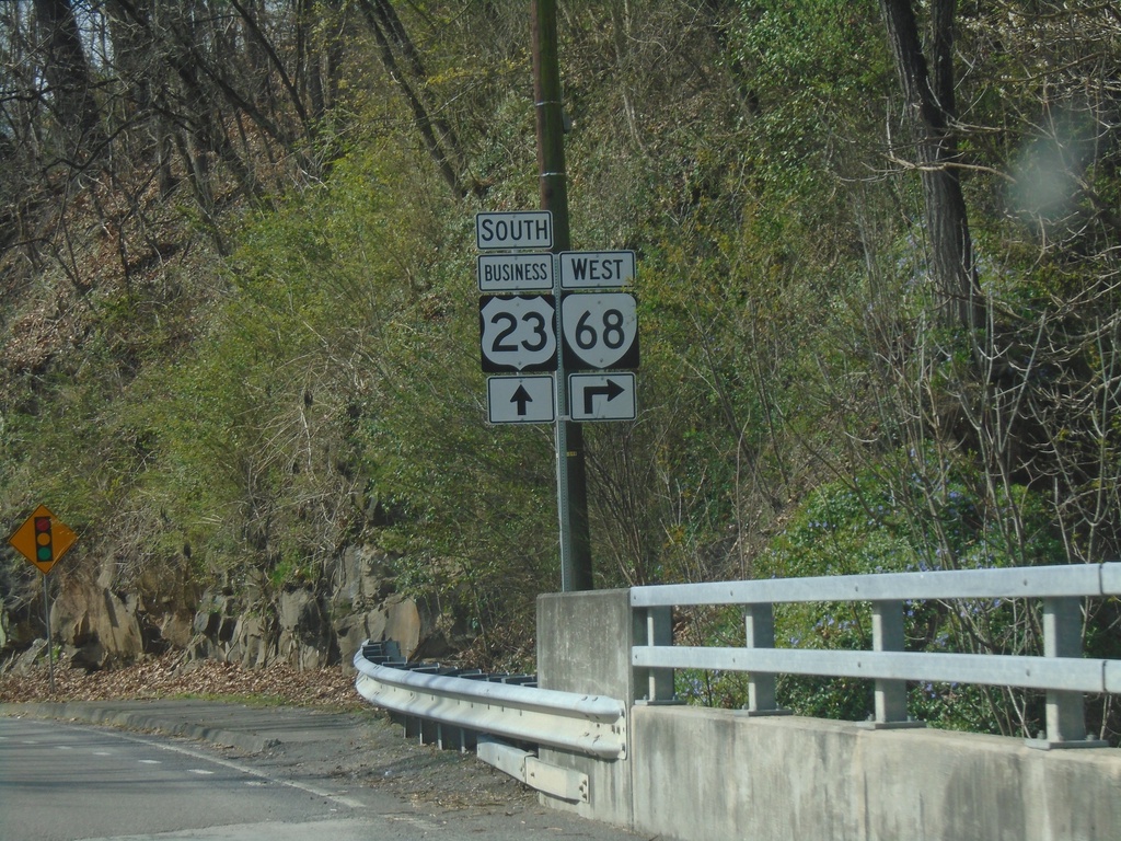
Bus. US-23 South at VA-68 West
Bus. US-23 South at VA-68 West in Appalachia
Taken 03-31-2024
 Appalachia
Wise County
Virginia
United States
Appalachia
Wise County
Virginia
United States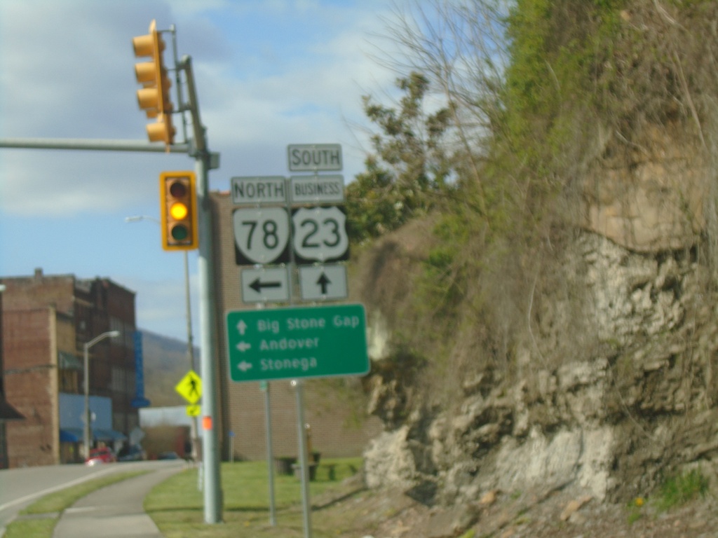
Bus. US-23 South at VA-78 North
Bus. US-23 South at VA-78 North in Norton. Use VA-78 North to Andover and Stonega. Continue south on Bus. US-23 for Big Stone Gap.
Taken 03-31-2024
Appalachia
Wise County
Virginia
United States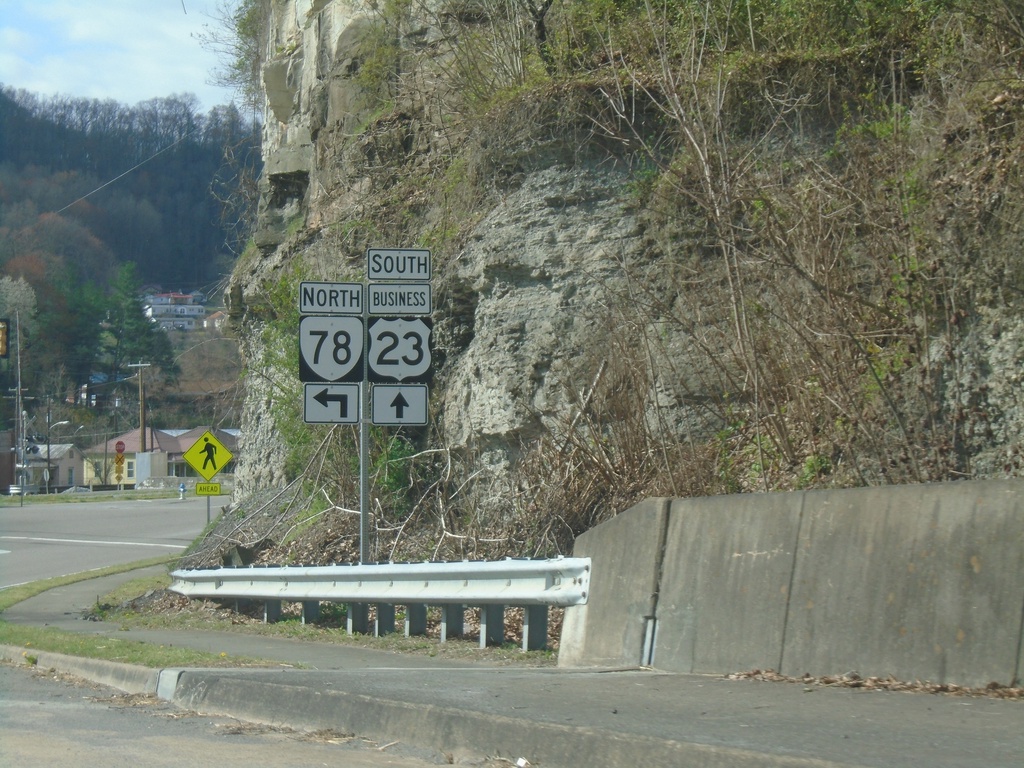
Bus. US-23 South at VA-78
Bus. US-23 South at VA-78 North in Appalachia
Taken 03-31-2024
 Appalachia
Wise County
Virginia
United States
Appalachia
Wise County
Virginia
United States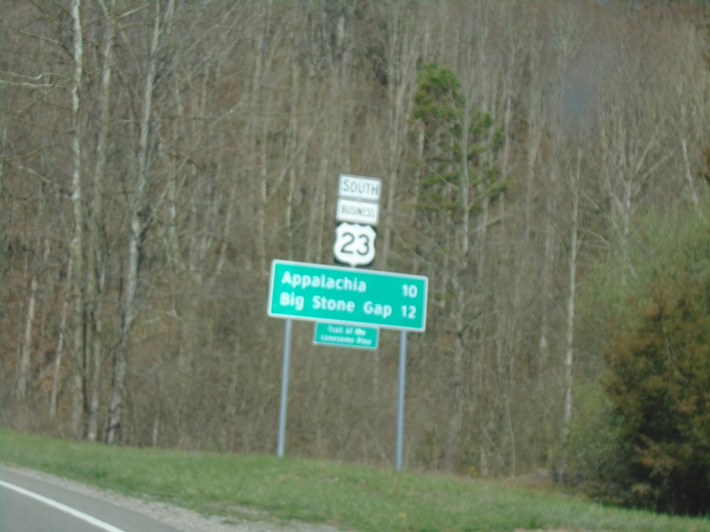
Bus. US-23 South - Distance Marker
Distance Marker on Bus. US-23 South. Distance to Appalachia and Big Stone Gap.
Taken 03-31-2024
Norton
Wise County
Virginia
United States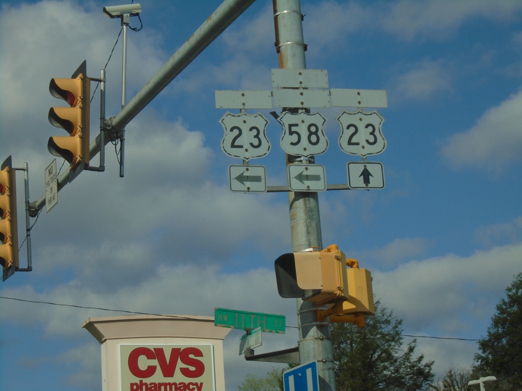
Bus. US-23 South (Park Ave) at 11th St.
Bus. US-23 South (Park Ave) at 11th St in Norton. Sign assembly contains old cut-out style shields for Bus. US-23, US-23, and Alt. US-58. The banners on the signs are faded. Turn left on 11th St. for access to US-23 and Alt. US-58. Continue straight on Park Ave. for Bus. US-23 South
Taken 03-31-2024
 Norton
Virginia
United States
Norton
Virginia
United States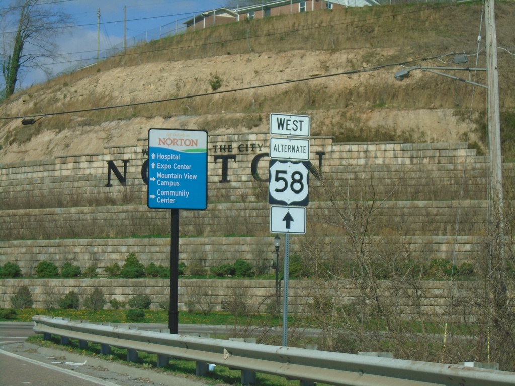
Bus. US-23 South to Alt. US-58 - Norton
Bus. US-23 South to Alt. US-58 in Norton.
Taken 03-31-2024
Norton
Virginia
United States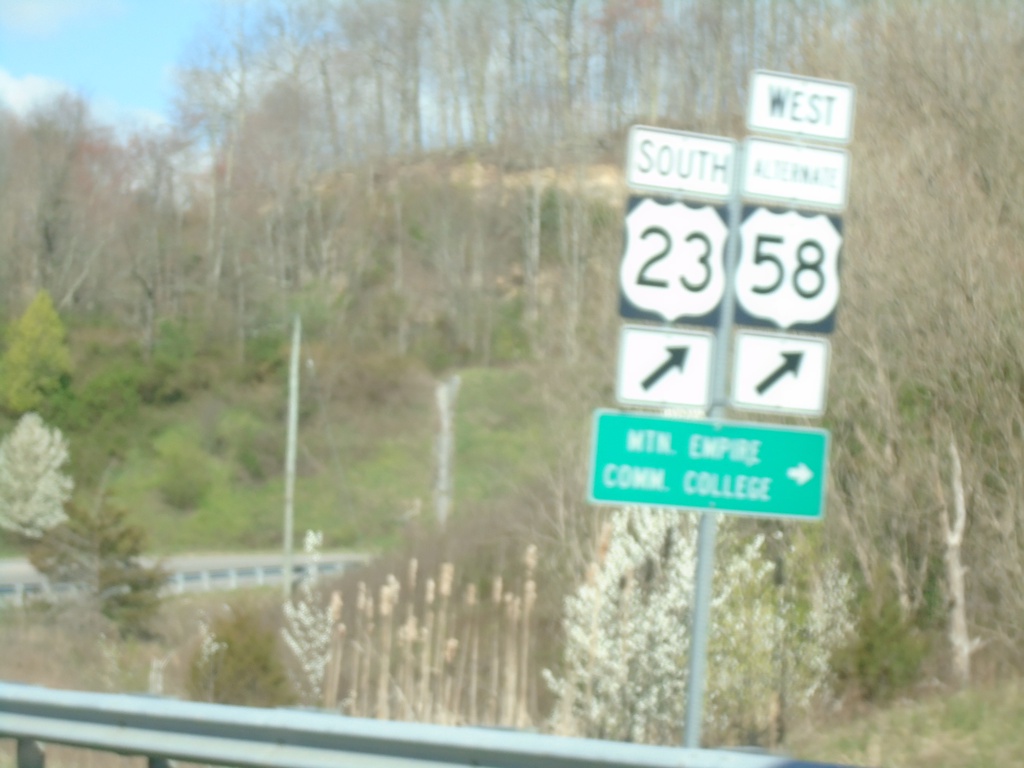
Alt. US-58 West at US-23 South
Alt. US-58 West at US-23 South to Mountain Empire Community College.
Taken 03-31-2024
Norton
Virginia
United States