Signs Tagged With Shield
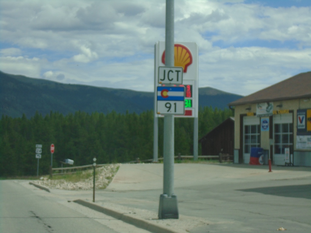
US-24 West Approaching CO-91
US-24 West approaching CO-91 in Leadville.
Taken 07-10-2022

 Leadville
Lake County
Colorado
United States
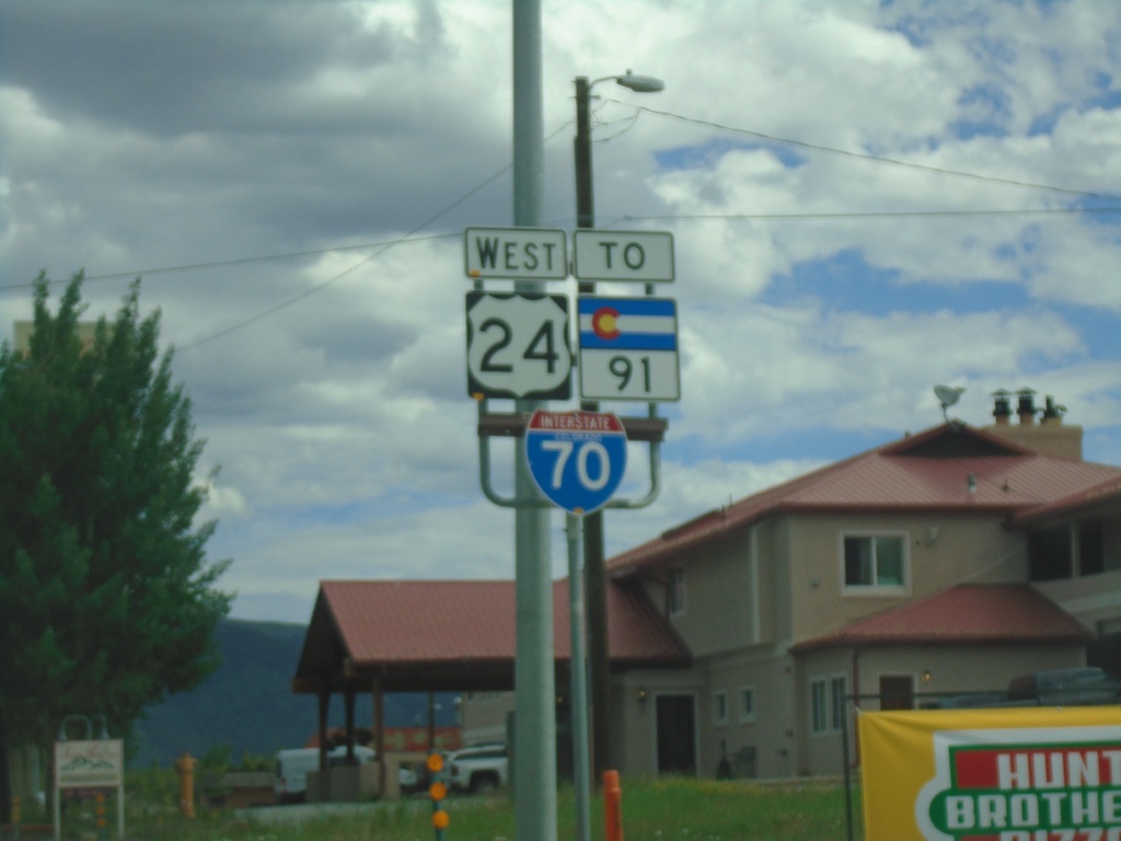
US-24 West/To CO-91/To I-70 - Leadville
US-24 West/To CO-91/To I-70 in Leadville
Taken 07-10-2022


 Leadville
Lake County
Colorado
United States
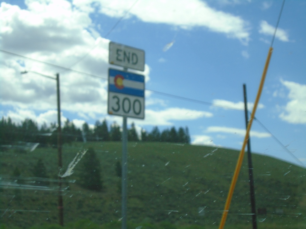
End CO-300 West at US-24
End CO-300 West at US-24 in Lake County.
Taken 07-10-2022

 Leadville
Lake County
Colorado
United States
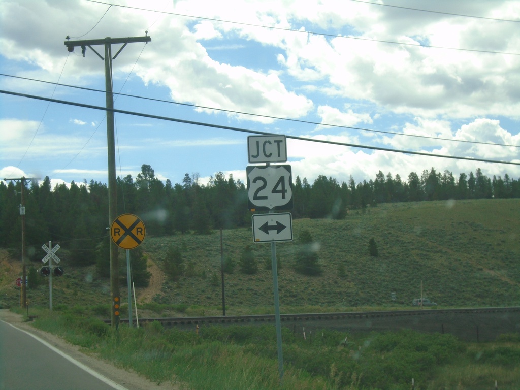
CO-300 West Approaching US-24
CO-300 West approaching US-24 in Lake County.
Taken 07-10-2022

 Leadville
Lake County
Colorado
United States
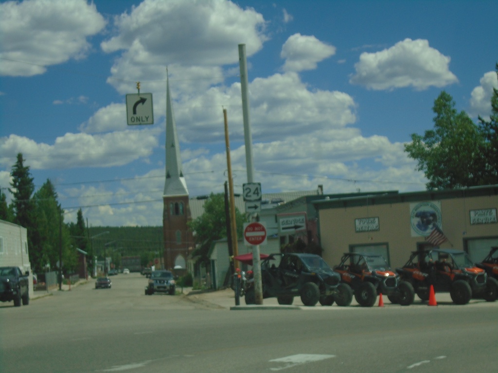
US-24 East - Leadville
US-24 east - Poplar St. at E 9th St. in Leadville. Turn right on E 9th St. to continue east on US-24.
Taken 07-09-2022
 Leadville
Lake County
Colorado
United States
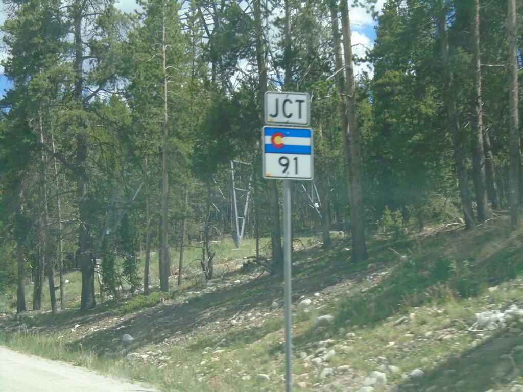
US-24 East Approaching CO-91
US-24 East approaching CO-91 in Leadville.
Taken 07-09-2022

 Leadville
Lake County
Colorado
United States
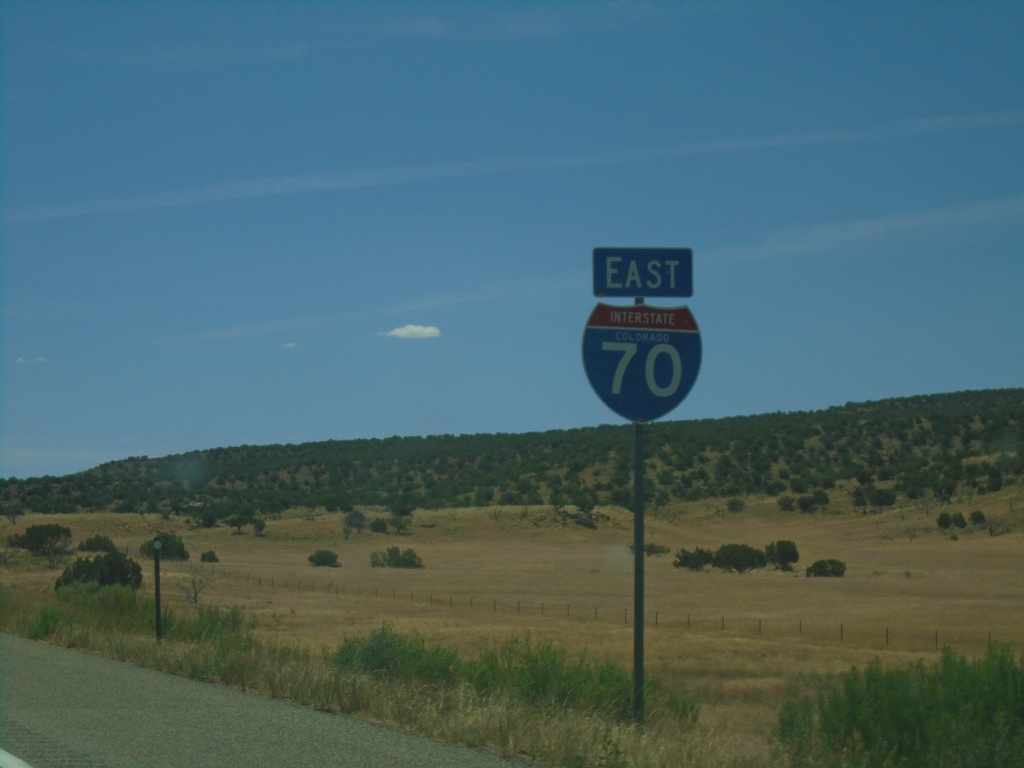
I-70 East - Mesa County
First I-70 reassurance marker eastbound in Colorado.
Taken 07-09-2022


 Mack
Mesa County
Colorado
United States
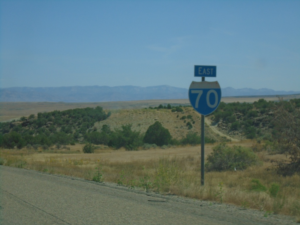
I-70 East - Grand County
I-70 east in Grand County. This is the last I-70 reassurance marker in Utah.
Taken 07-09-2022


 Cisco
Grand County
Utah
United States
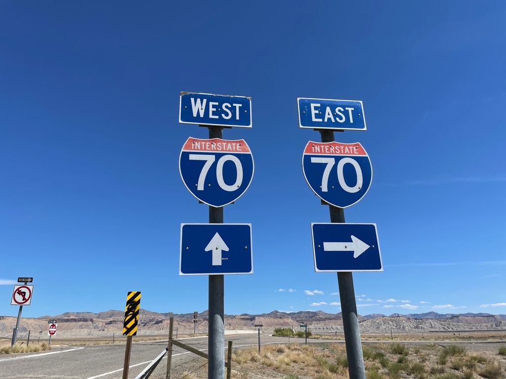
Yellowcat Road at I-70 - Grand County
Yellowcat Road at I-70 in Grand County.
Taken 07-09-2022


 Thompson Springs
Grand County
Utah
United States
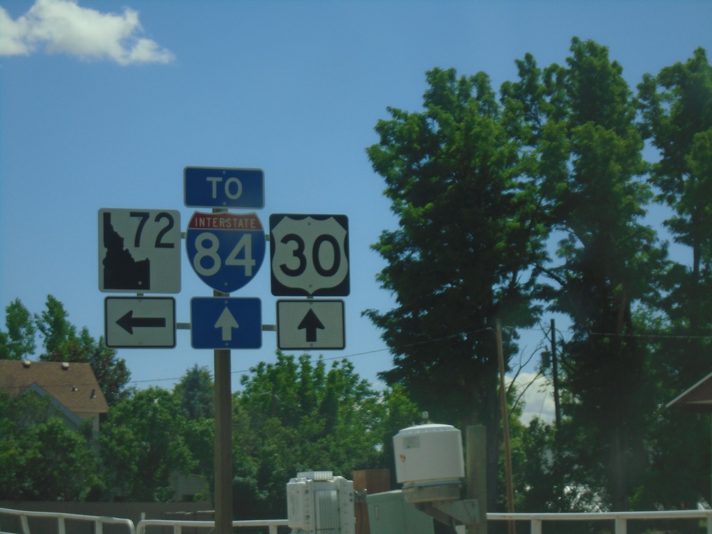
US-30 East approaching ID-72
US-30 East approaching ID-72. Turn left for ID-72; continue straight for access to I-84.
Taken 06-20-2022


 New Plymouth
Payette County
Idaho
United States
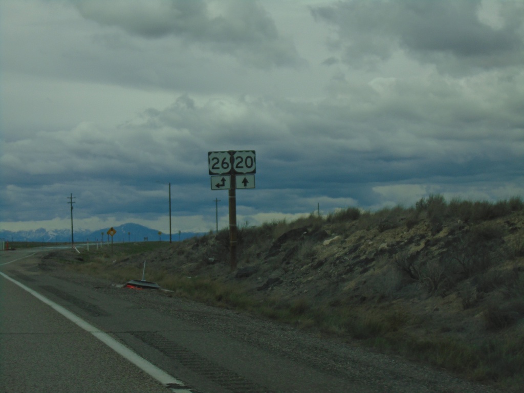
US-20 West at US-26
US-20 West at US-26 in Butte County. US-26 West joins US-20 West to Carey.
Taken 05-03-2022

 Blackfoot
Butte County
Idaho
United States
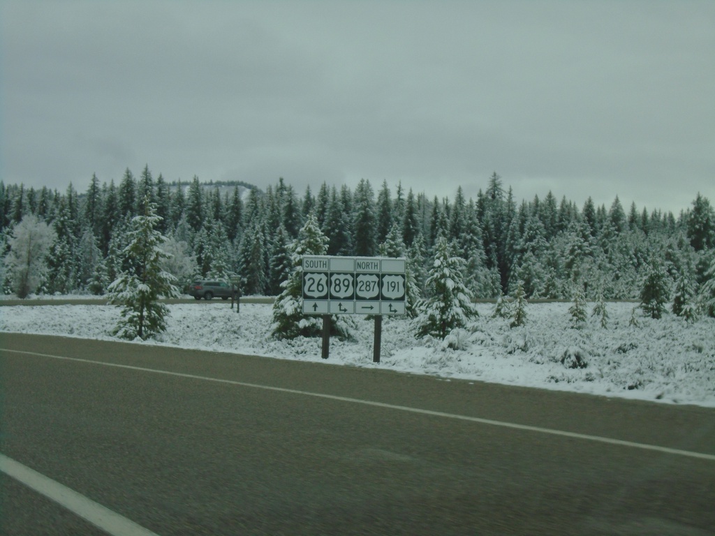
US-26 West/US-287 North at US-191/US-89 - Moran Junction
US-26 West/US-287 North at US-191/US-89 at Moran Junction. Turn right for US-89/US-191/US-287 North; straight for US-26 West/US-89 South/US-191 South.
Taken 05-03-2022


 Moran
Teton County
Wyoming
United States
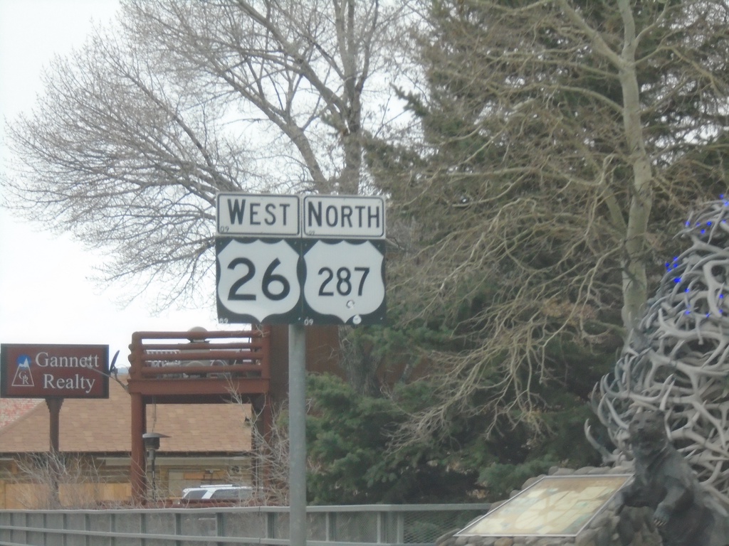
US-26 West/US-287 North - Dubois
US-26 West/US-287 North in Dubois
Taken 05-03-2022

 Dubois
Fremont County
Wyoming
United States
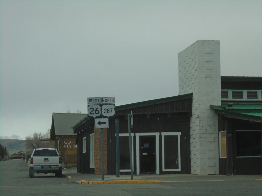
US-287 North/US-26 West - Dubois
US-287 North/US-26 West in Dubois. Turn left to continue on US-287 North/US-26 West.
Taken 05-03-2022

 Dubois
Fremont County
Wyoming
United States
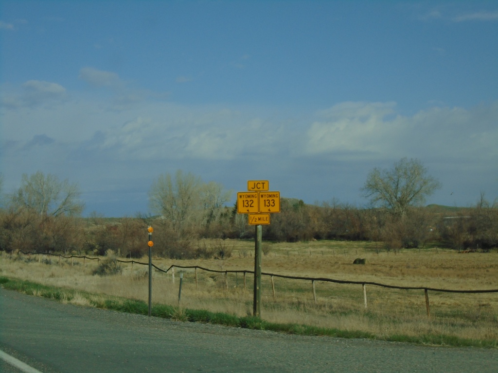
US-26 West Approaching WY-132/WY-133
US-26 West approaching WY-132/WY-133 in Fremont County.
Taken 05-03-2022


 Kinnear
Fremont County
Wyoming
United States
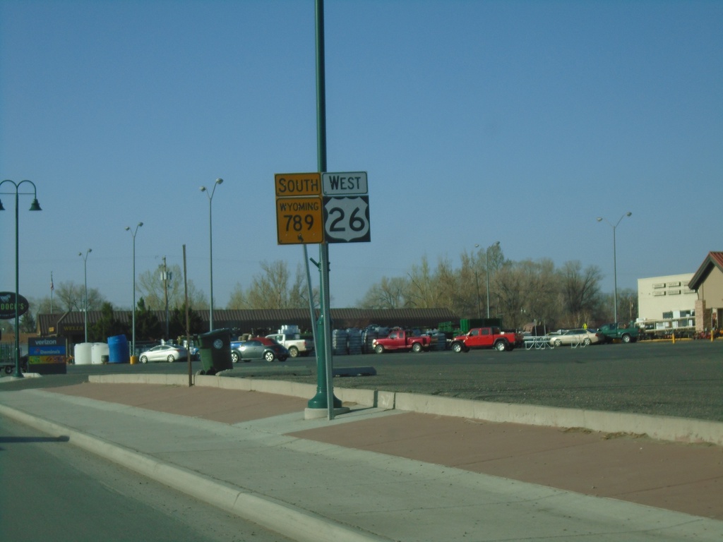
US-26 West/WY-789 South - Riverton
US-26 West/WY-789 South on N Federal Blvd. in Riverton
Taken 05-03-2022

 Riverton
Fremont County
Wyoming
United States
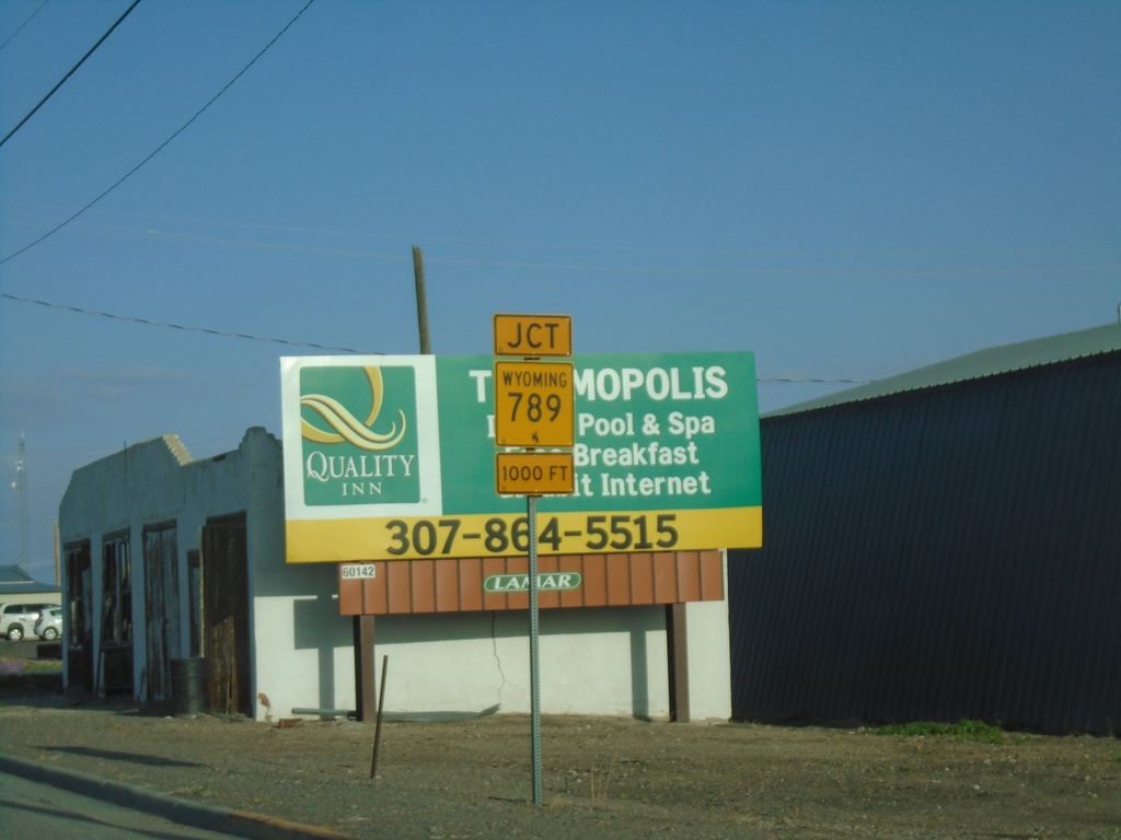
US-20/US-26 West Approaching WY-789
US-20/US-26 West approaching WY-789 in Shoshoni.
Taken 05-03-2022


 Shoshoni
Fremont County
Wyoming
United States
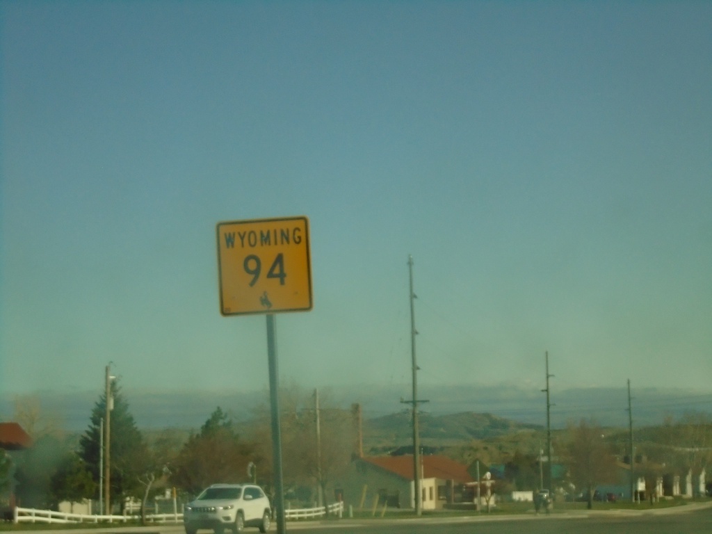
WY-94 - Douglas
WY-94 (Riverbend Dr) in Douglas. WY-94 connects Douglas with the Esterbrook area.
Taken 05-02-2022
Douglas Converse County Wyoming United States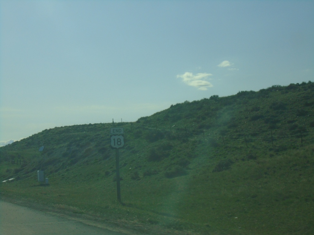
End US-18 on US-18/US-20 West at I-25
End US-18 on US-18/US-20 West at I-25 - Orin Junction.
Taken 05-02-2022


 Douglas
Converse County
Wyoming
United States
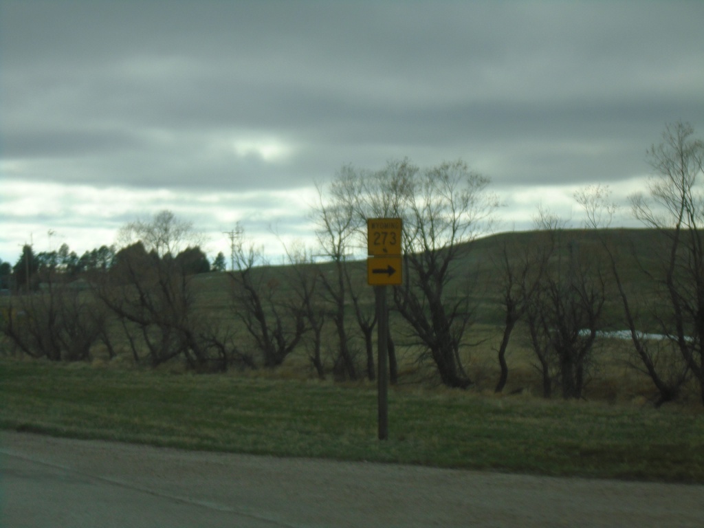
US-18 West/US-20 West at WY-273
US-18 West/US-20 West at WY-273 in Lusk.
Taken 05-02-2022


 Lusk
Niobrara County
Wyoming
United States
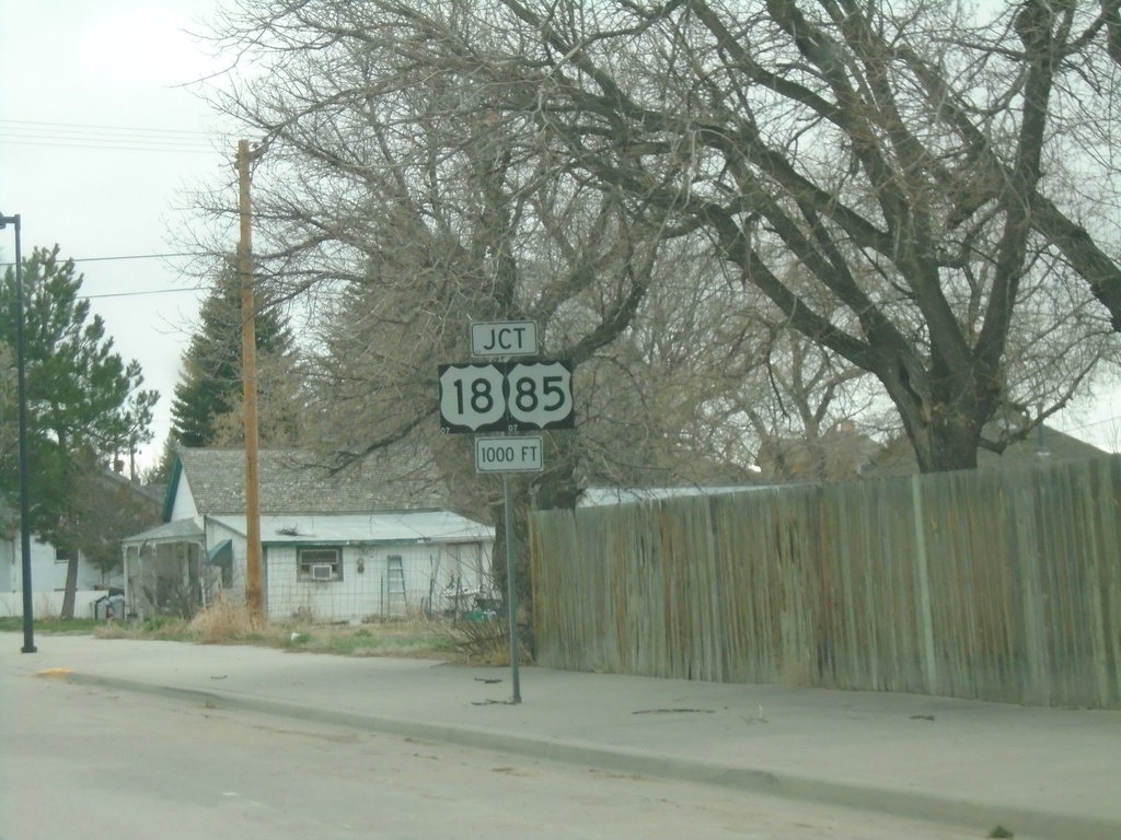
US-20 West Approaching US-18/US-85
US-20 West approaching US-18/US-85 in Lusk.
Taken 05-02-2022


 Lusk
Niobrara County
Wyoming
United States
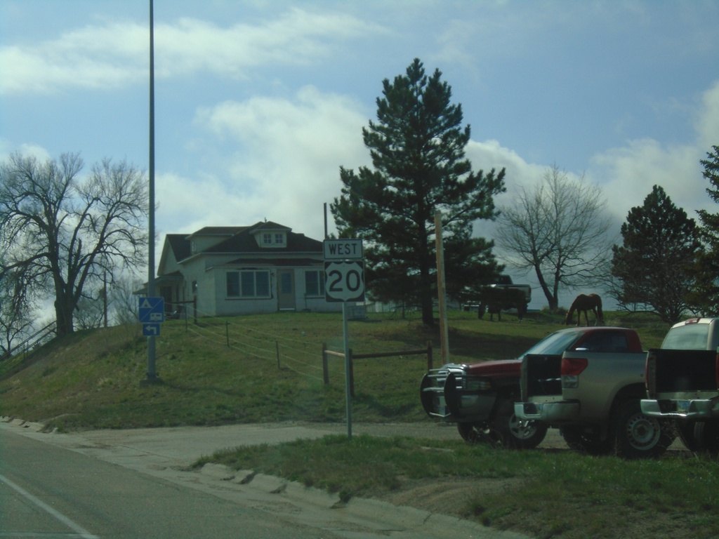
US-20 West - Harrison
US-20 west in Harrison.
Taken 05-02-2022
 Harrison
Sioux County
Nebraska
United States
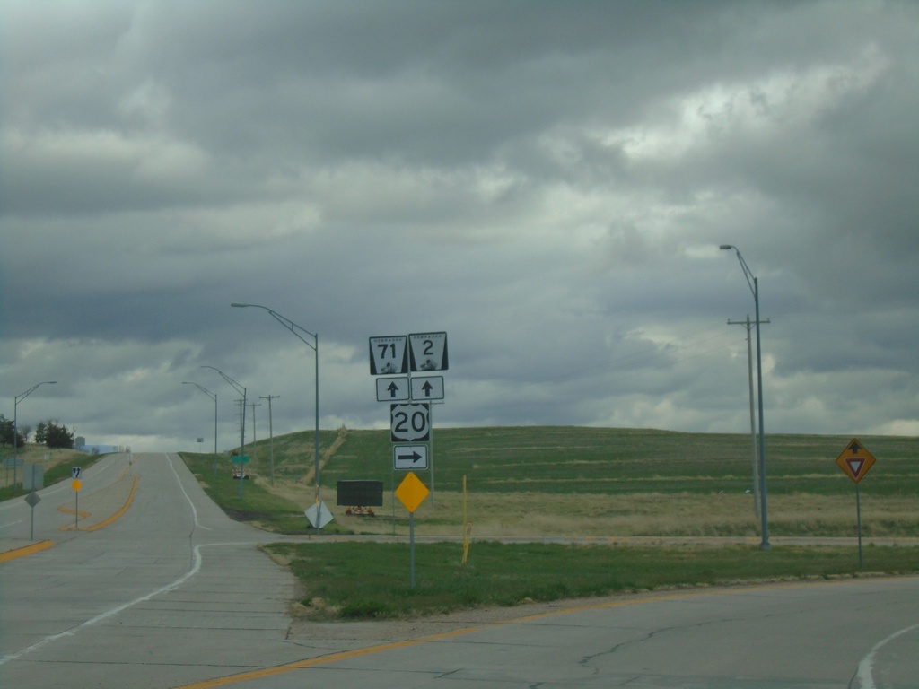
US-20 West/NE-71 South/NE-2 East at NE-71/NE-2
US-20 West/NE-71 South/NE-2 East at NE-71/NE-2 in Crawford.
Taken 05-02-2022


 Crawford
Dawes County
Nebraska
United States
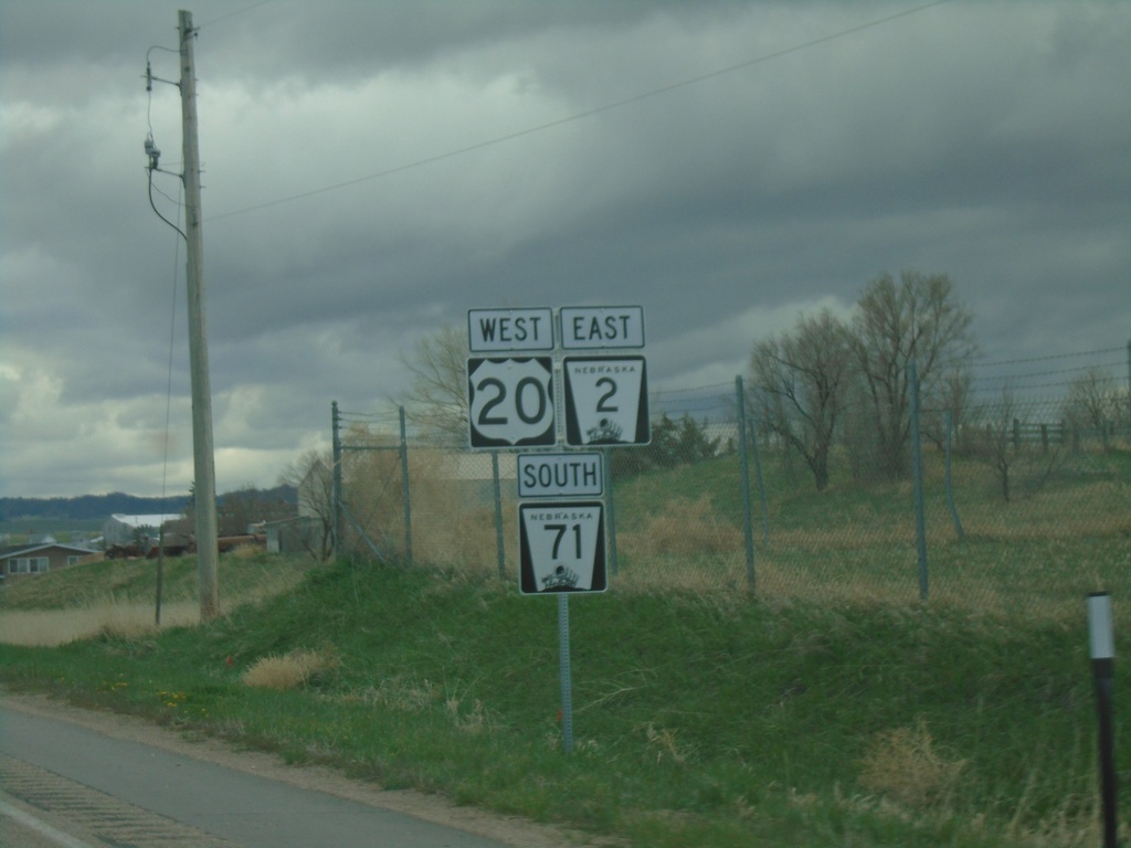
US-20 West/NE-2 East/NE-71 South - Crawford
US-20 West/NE-2 East/NE-71 South in Crawford
Taken 05-02-2022


 Crawford
Dawes County
Nebraska
United States
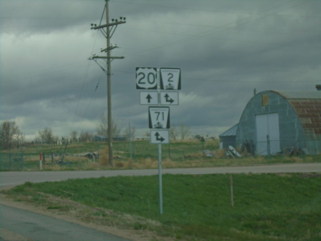
US-20 West at NE-2/NE-71
US-20 West at NE-2/NE-71 in Crawford. NE-2 East/NE-71 South joins US-20 through Crawford.
Taken 05-02-2022


 Crawford
Dawes County
Nebraska
United States