Signs Tagged With Shield
WY-412 North Approaching US-189
WY-412 North approaching US-189 in Lincoln County.
Taken 09-25-2021

 Kemmerer
Lincoln County
Wyoming
United States
Kemmerer
Lincoln County
Wyoming
United States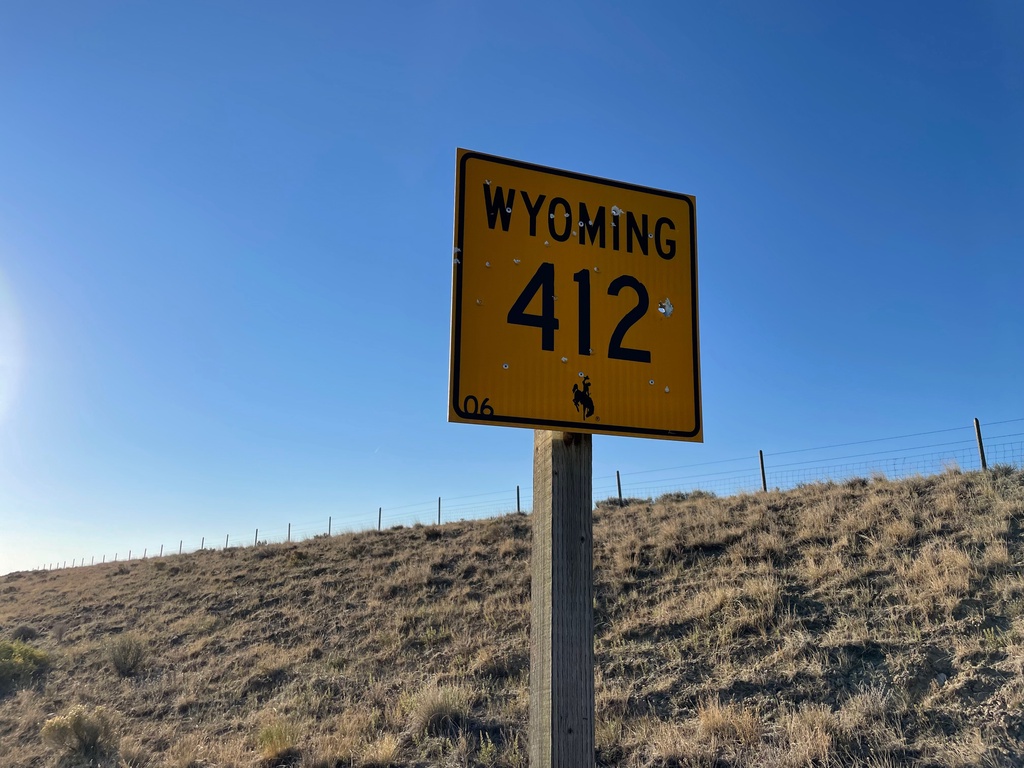
WY-412 South - Lincoln County
WY-412 South in Lincoln County
Taken 09-25-2021
Kemmerer
Lincoln County
Wyoming
United States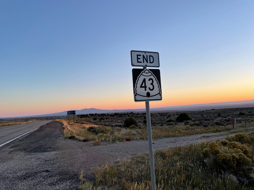
End UT-43 at Utah-Wyoming Line
End UT-43 at Utah-Wyoming State Line. UT-43 becomes WY-414 in Wyoming.
Taken 09-25-2021
 Manila
Daggett County
Utah
United States
Manila
Daggett County
Utah
United States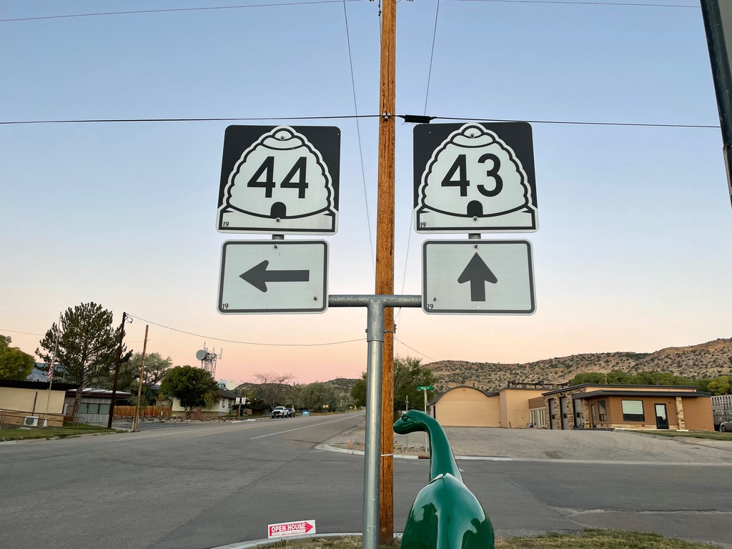
UT-43 West at UT-44
UT-43 west at UT-44 in Manila. Sinclair gasoline dinosaur in foreground of photo.
Taken 09-25-2021
 Manila
Daggett County
Utah
United States
Manila
Daggett County
Utah
United States
Flaming Gorge Way - To I-80/US-30
Flaming Gorge Way (BL-80/Bus. US-30) west - To I-80/US-30 in Green River.
Taken 09-24-2021


 Green River
Sweetwater County
Wyoming
United States
Green River
Sweetwater County
Wyoming
United States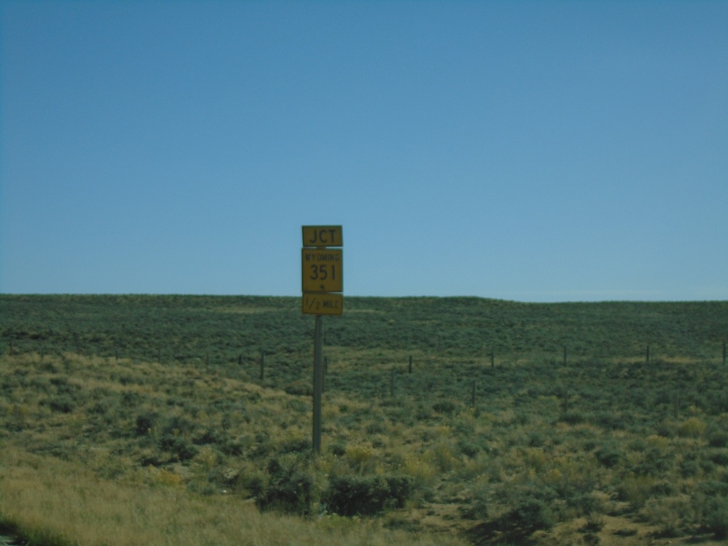
US-191 South Approaching WY-351
US-191 South approaching WY-351 in Sublette County.
Taken 09-24-2021

 Boulder
Sublette County
Wyoming
United States
Boulder
Sublette County
Wyoming
United States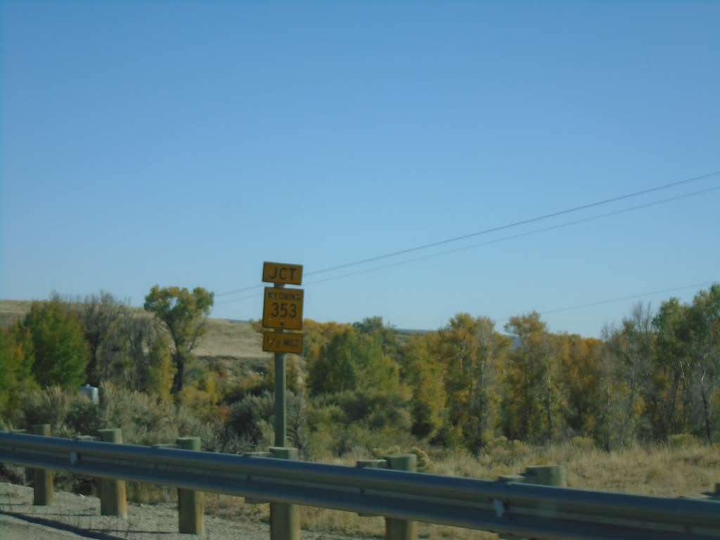
US-191 South Approaching WY-353
US-191 South approaching WY-353 in Sublette County.
Taken 09-24-2021
 Pinedale
Sublette County
Wyoming
United States
Pinedale
Sublette County
Wyoming
United States
US-191 South - Pinedale
US-191 south in Pinedale
Taken 09-24-2021
Pinedale
Sublette County
Wyoming
United States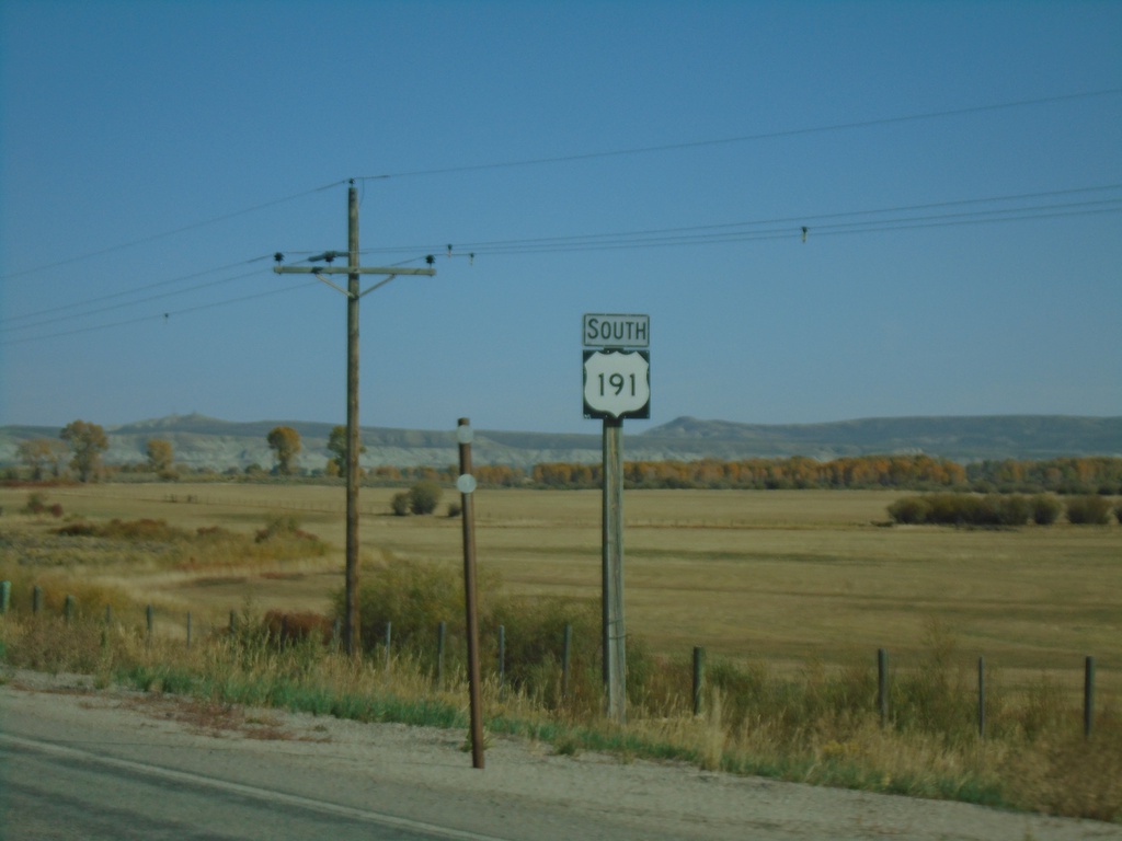
US-191 South - Sublette County
US-191 South in Sublette County - just south of Daniel Junction.
Taken 09-24-2021
Daniel
Sublette County
Wyoming
United States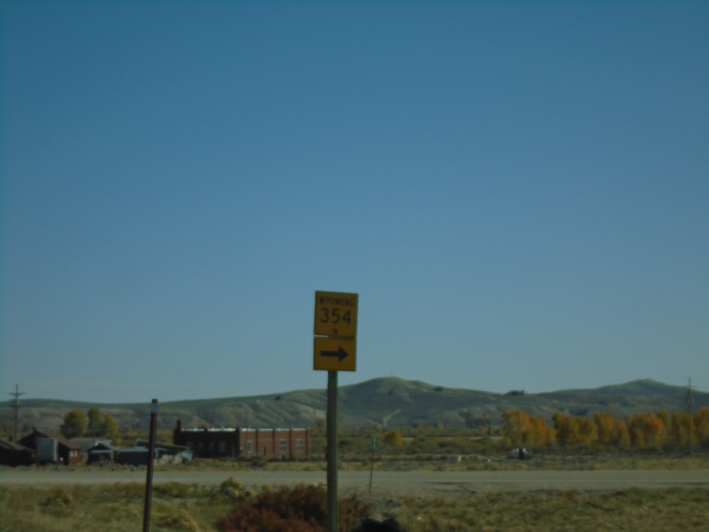
US-191/US-189 South at WY-354
US-189/US-191 South at WY-354 west.
Taken 09-24-2021
 Daniel
Sublette County
Wyoming
United States
Daniel
Sublette County
Wyoming
United States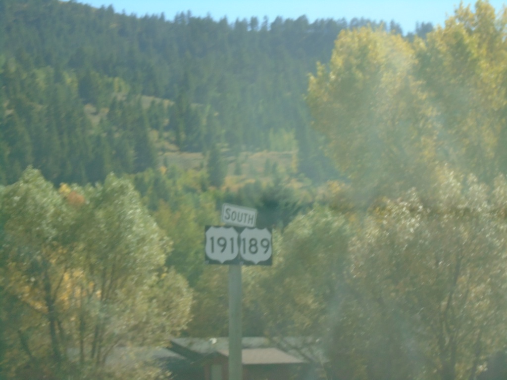
US-191/US-189 South
US-191/US-189 South at Hoback Junction
Taken 09-24-2021
Jackson
Teton County
Wyoming
United States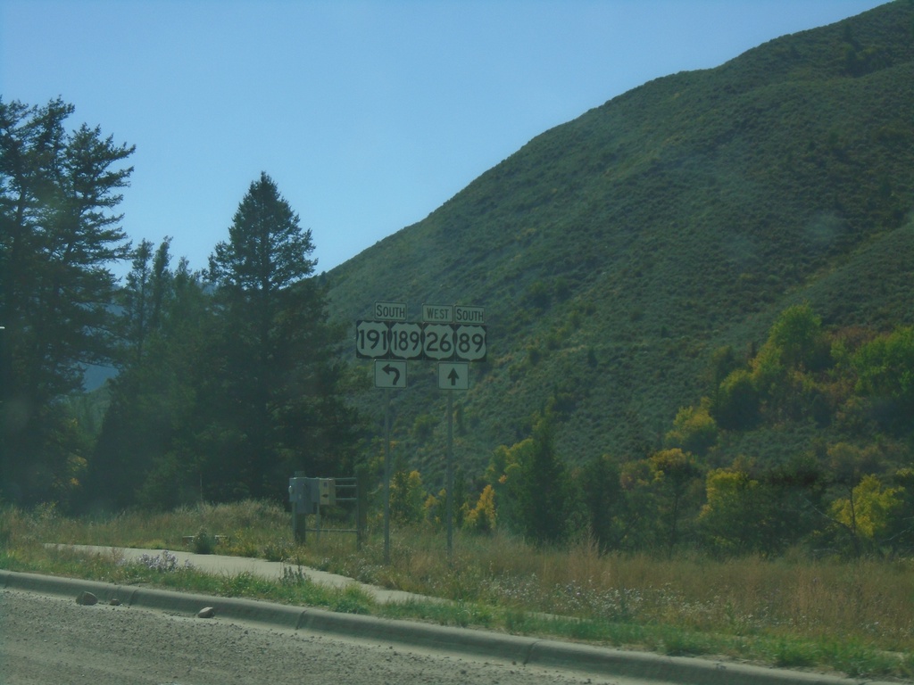
US-26 West - US-89/US-189/US-191 South Approaching Hoback Jct.
US-26 West - US-89/US-189/US-191 South approaching roundabout at Hoback Junction.
Taken 09-24-2021

 Hoback
Teton County
Wyoming
United States
Hoback
Teton County
Wyoming
United States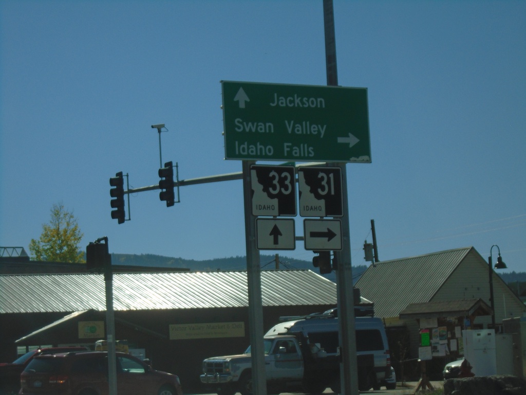
ID-33 East at ID-31
ID-33 East at ID-31 in Victor. Turn right on ID-31 south for Swan Valley and Idaho Falls. Continue straight on ID-33 for Jackson (Wyoming). Teton Scenic Byway leaves ID-33 here and follows ID-31 south.
Taken 09-24-2021

 Victor
Teton County
Idaho
United States
Victor
Teton County
Idaho
United States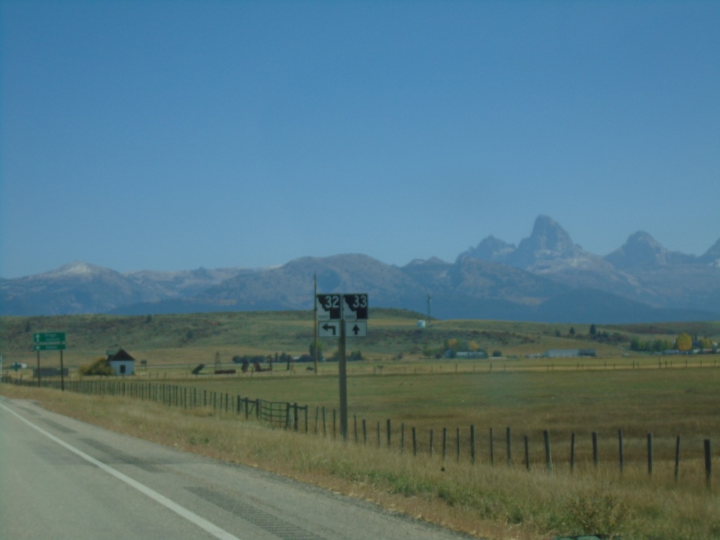
ID-33 East at ID-32 North
ID-33 East at ID-32 North. The Teton Scenic Byway joins ID-33 east here. The Teton Range is in the background of the photo.
Taken 09-24-2021
 Felt
Teton County
Idaho
United States
Felt
Teton County
Idaho
United States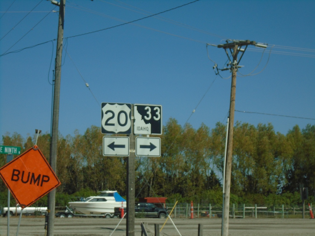
ID-33 East at US-20 Access Road
ID-33 East at US-20 access road. Turn left for US-20 access; turn right to continue on ID-33 east.
Taken 09-24-2021
 Sugar City
Madison County
Idaho
United States
Sugar City
Madison County
Idaho
United States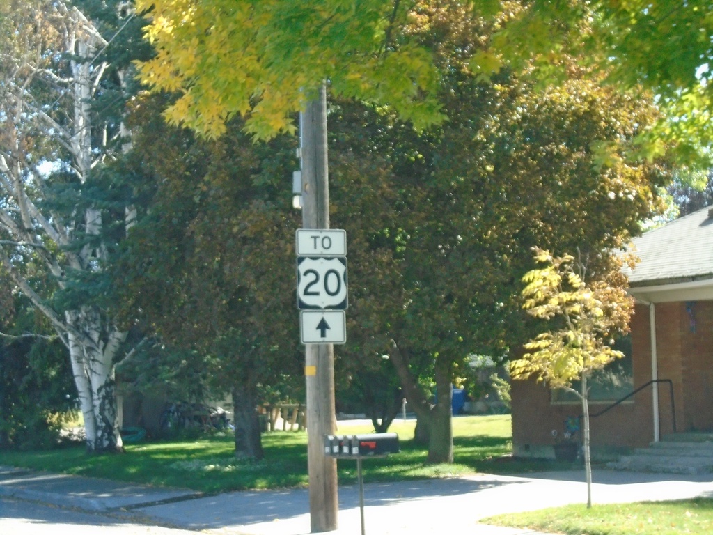
ID-33 East / To US-20 - Sugar City
ID-33 East (Center St.) / To US-20 in Sugar City.
Taken 09-24-2021
Sugar City
Madison County
Idaho
United States
ID-33 East - Sugar City
ID-33 east in Sugar City. Turn right to continue on ID-33.
Taken 09-24-2021
Sugar City
Madison County
Idaho
United States
ID-33 East - Rexburg
ID-33 East on W Main St. in Rexburg
Taken 09-24-2021
Rexburg
Madison County
Idaho
United States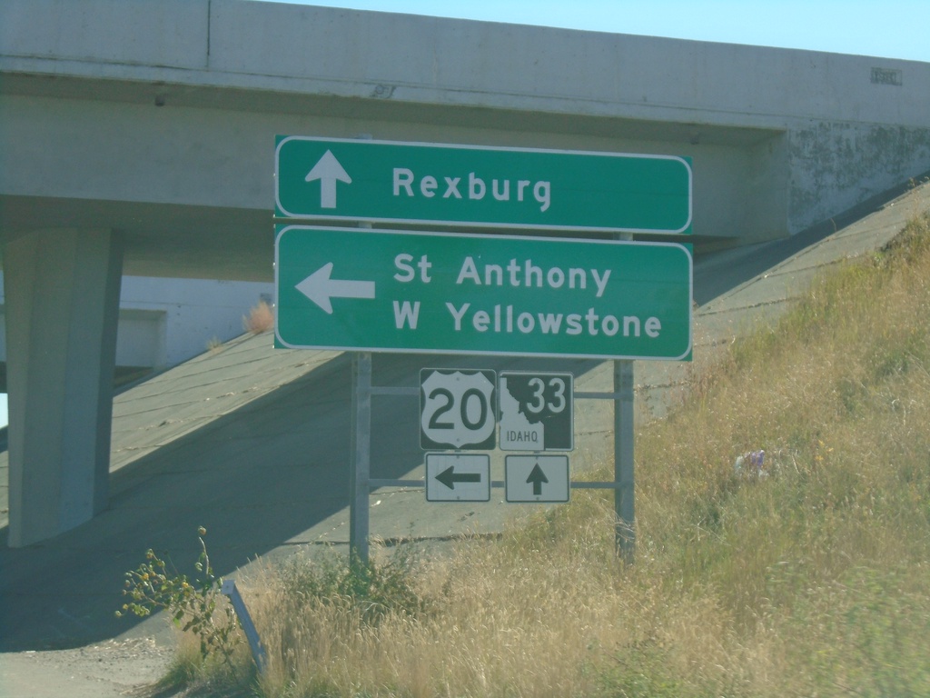
ID-33 East at US-20 East
ID-33 east at US-20 east. Use US-20 east for St. Anthony and West Yellowstone (Montana). Continue east on ID-33 for downtown Rexburg.
Taken 09-24-2021
Rexburg
Madison County
Idaho
United States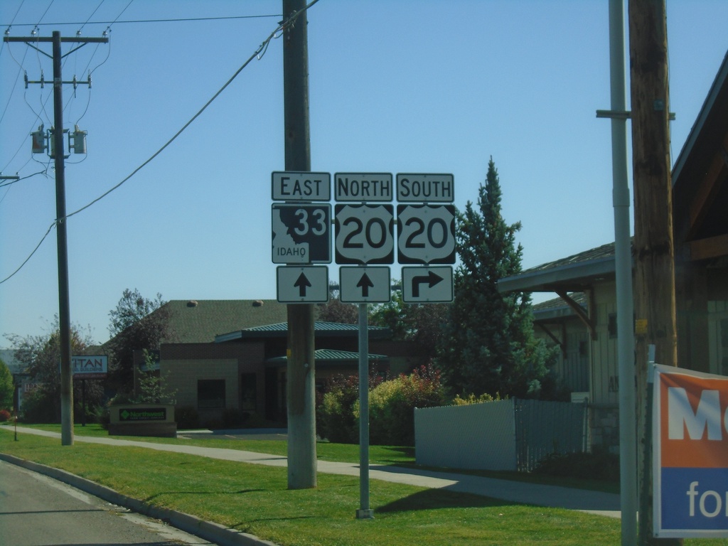
ID-33 East Approaching US-20
ID-33 east approaching US-20 in Rexburg.
Taken 09-24-2021
Rexburg
Madison County
Idaho
United States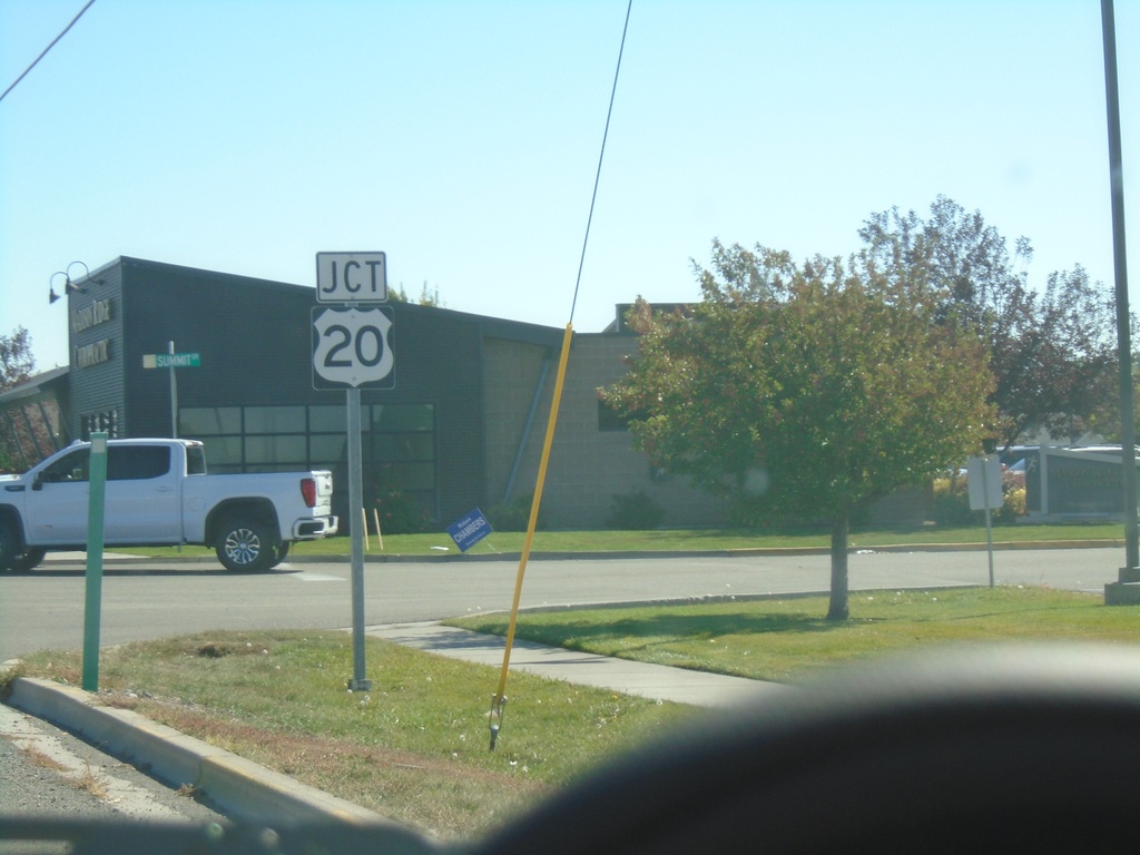
ID-33 East Approaching US-20
ID-33 east approaching US-20 in Rexburg.
Taken 09-24-2021
Rexburg
Madison County
Idaho
United States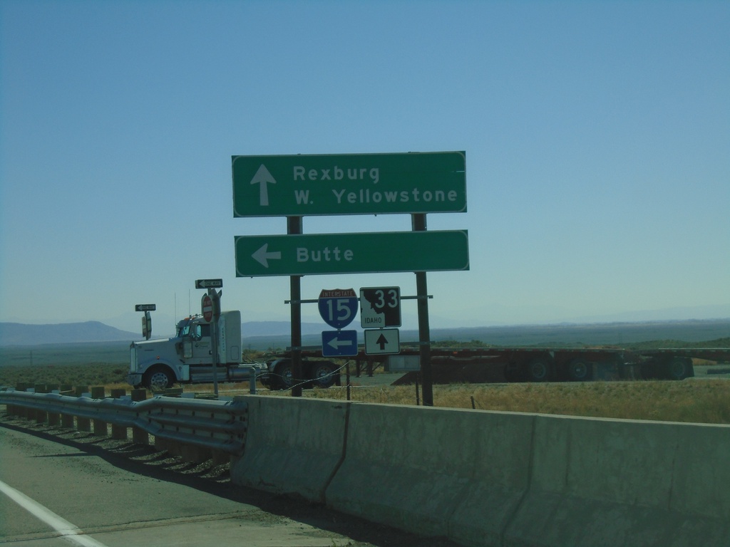
ID-33 East at I-15 North
ID-33 East at I-15 North (Exit 143). Use I-15 North for Butte (Montana). Continue east on ID-33 for Rexburg and West Yellowstone (Montana).
Taken 09-24-2021
 Roberts
Jefferson County
Idaho
United States
Roberts
Jefferson County
Idaho
United States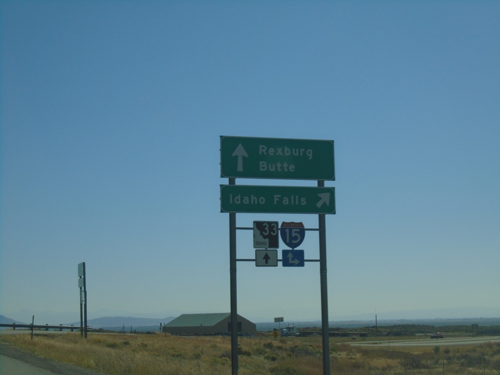
ID-33 East at I-15 South
ID-33 east at I-15 south to Idaho Falls. Continue over overpass for I-15 north onramp to Butte (Montana). Continue east on ID-33 for Rexburg.
Taken 09-24-2021
Sage Junction
Jefferson County
Idaho
United States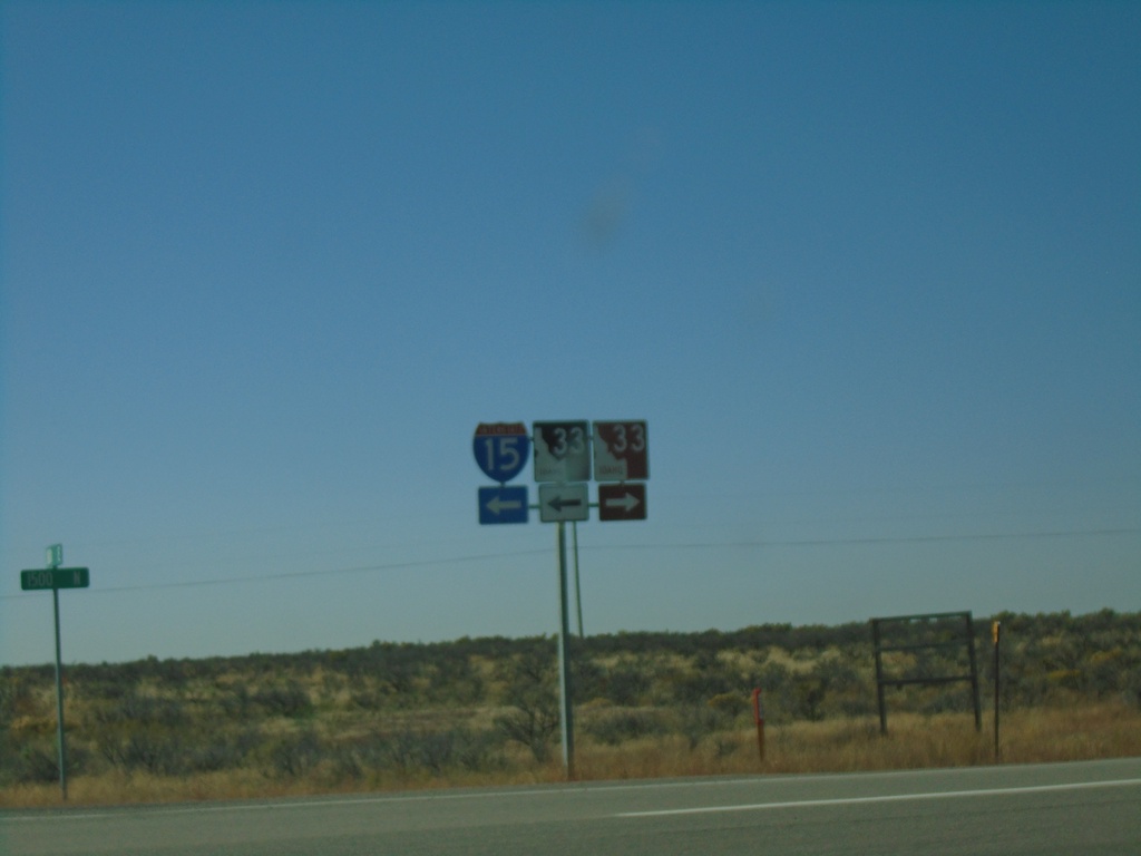
Exit of Weigh Station at ID-33/I-15 Ramps
Exit of Sage Junction Weigh Station at ID-33/I-15 Ramps. Turn right for ID-33 West; left for ID-33 East and I-15 onramps (Exit 143). Notice the westbound ID-33 shield is brown, which is an older style of shield denoting a scenic or historic byway. In this case the Sacajawea Historic Byway
Taken 09-24-2021
Sage Junction
Jefferson County
Idaho
United States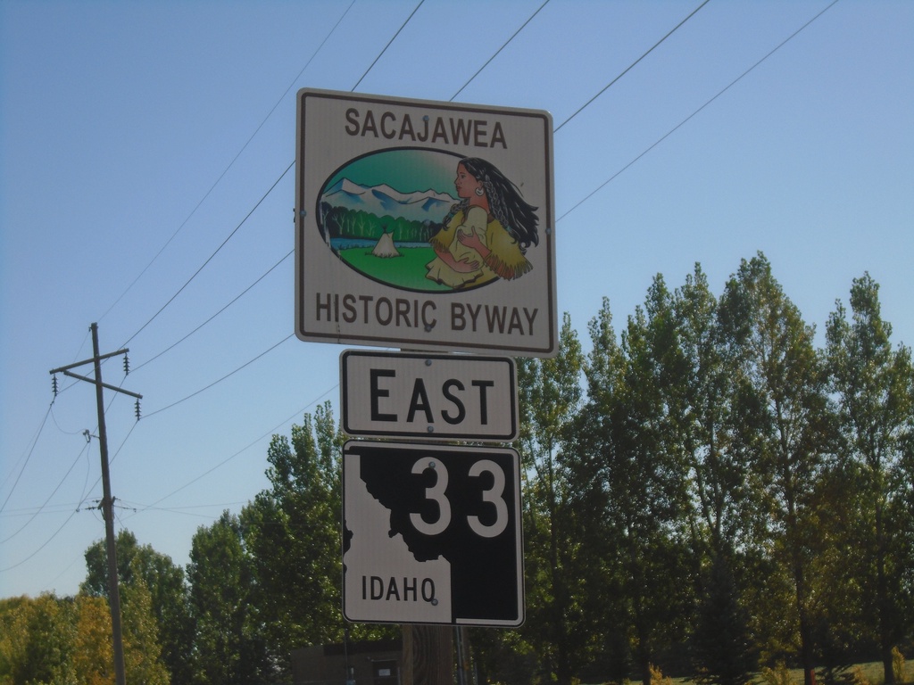
ID-33 East - Sacajawea Historic Byway
Sacajawea Historic Byway on ID-33 east, near Mud Lake.
Taken 09-24-2021
Terreton
Jefferson County
Idaho
United States