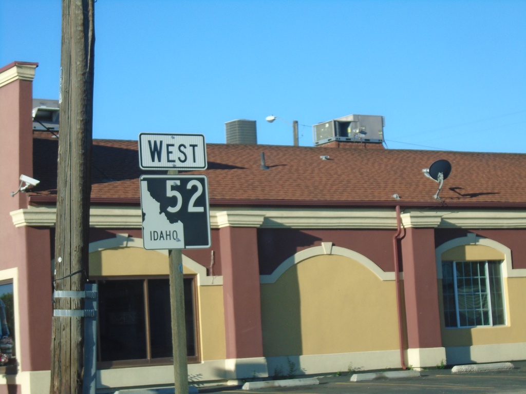
Signs Tagged With Shield
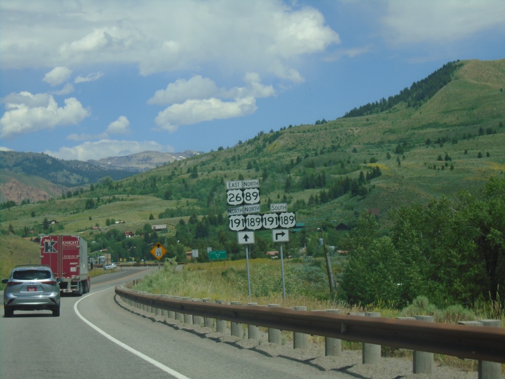
US-26 East/US-89 North Approaching US-189/US-191
US-26 East/US-89 North Approaching US-189/US-191 at Hoback Junction.
Taken 07-17-2020


 Jackson
Teton County
Wyoming
United States
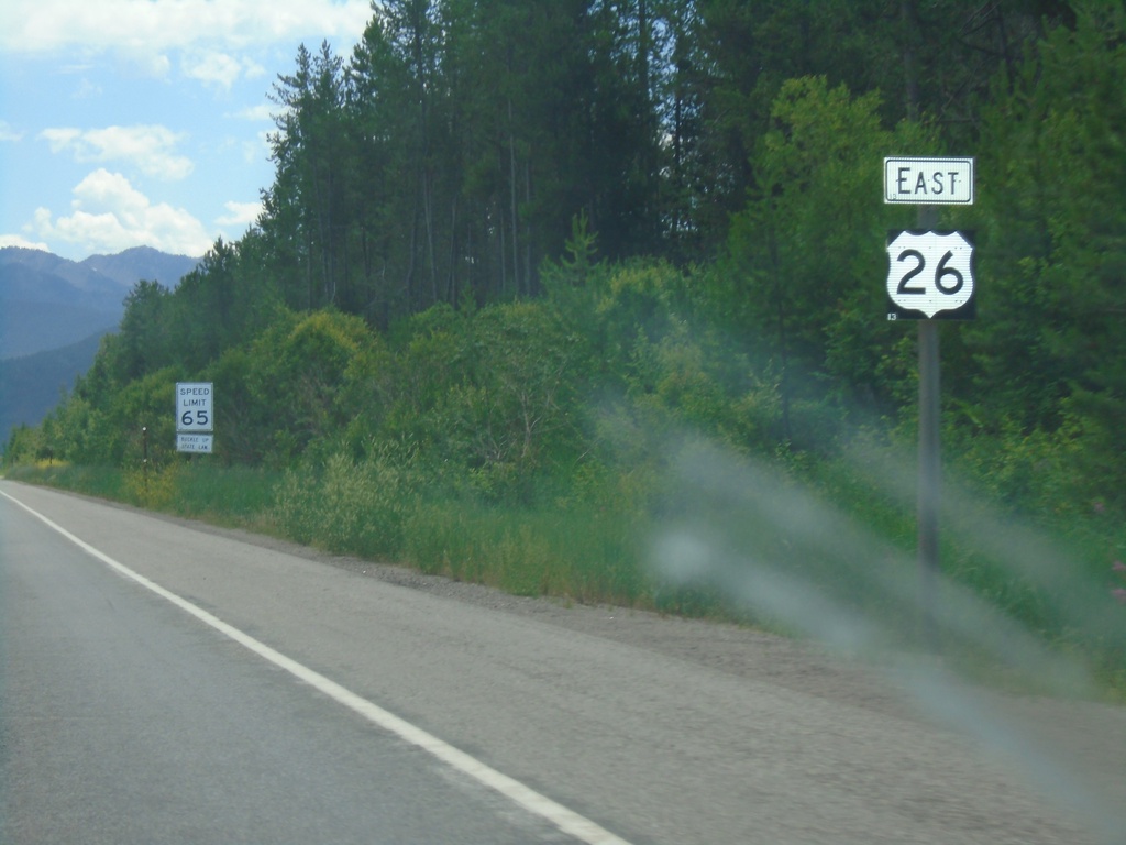
US-26 East - Alpine
US-26 east at the Wyoming-Idaho state line. Speed Limit 65 MPH.
Taken 07-17-2020
 Alpine
Lincoln County
Wyoming
United States
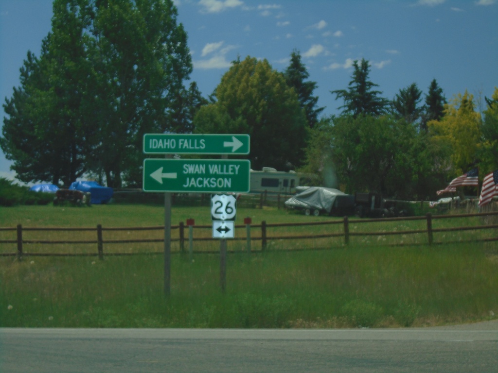
End Bus. US-26 East at US-26
End Bus. US-26 East at US-26. Turn right on US-26 West to Idaho Falls; left for US-26 East to Swan Valley and Jackson (Wyoming).
Taken 07-17-2020

 Ririe
Bonneville County
Idaho
United States
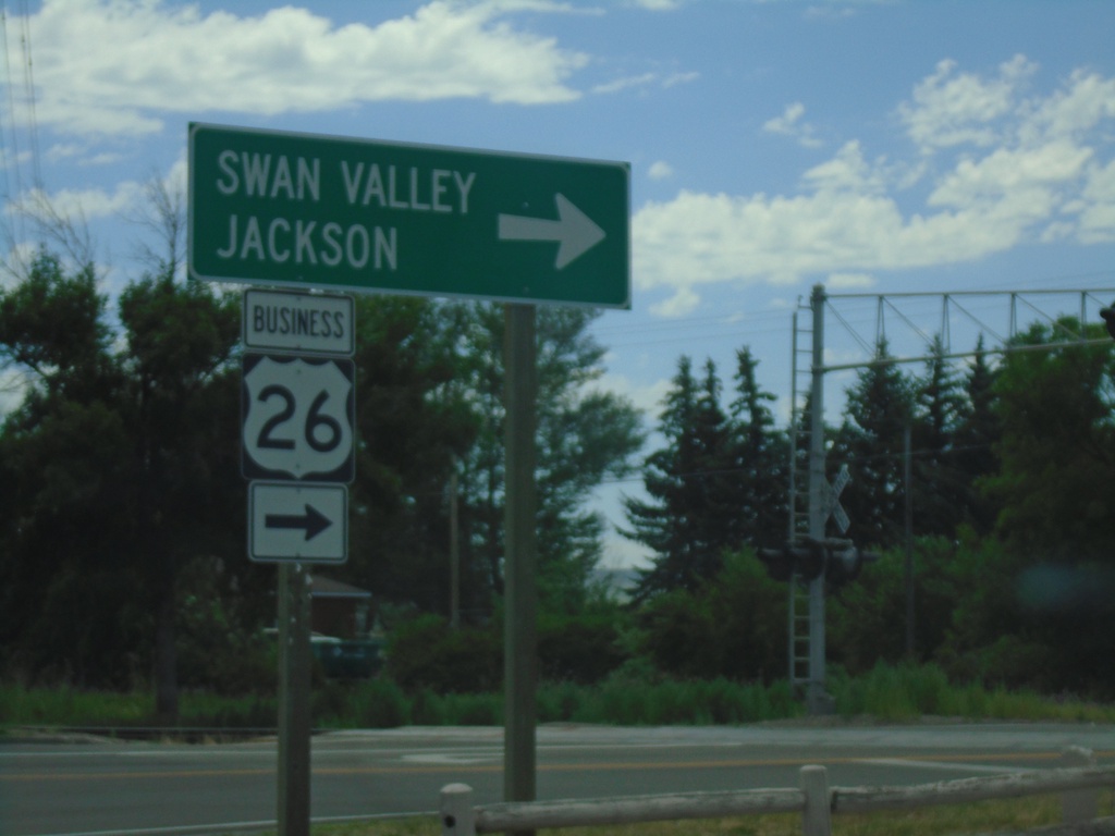
Bus. US-26 East - Ririe
Bus. US-26 East (Ririe Hwy) at N 130th East. Turn right to continue east on Bus. US-26 to Swan Valley and Jackson (Wyoming).
Taken 07-17-2020
 Ririe
Jefferson County
Idaho
United States
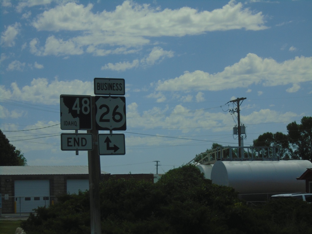
End ID-48 East at Bus. US-26
End ID-48 East at Bus. US-26 in Ririe.
Taken 07-17-2020

 Ririe
Bonneville County
Idaho
United States
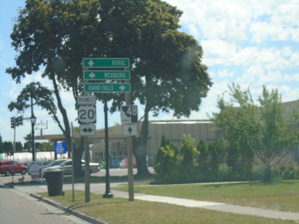
ID-48 East at Bus. US-20
ID-48 East at Bus. US-20 (State St.) in Rigby. Turn right on Bus. US-20 for Idaho Falls and left on Bus. US-20 for Rexburg. Continue straight on ID-48 for Ririe.
Taken 07-17-2020

 Rigby
Jefferson County
Idaho
United States
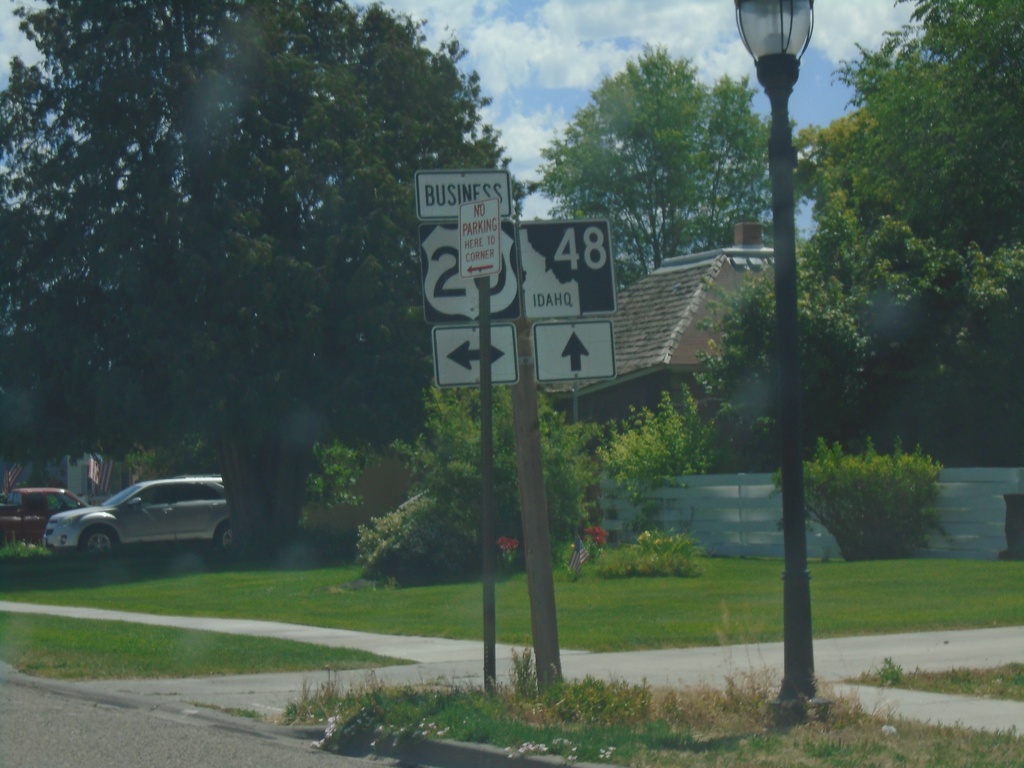
ID-48 East Approaching Bus. US-20 (State St.)
ID-48 East Approaching Bus. US-20 (State St.) in Rigby.
Taken 07-17-2020

 Rigby
Jefferson County
Idaho
United States
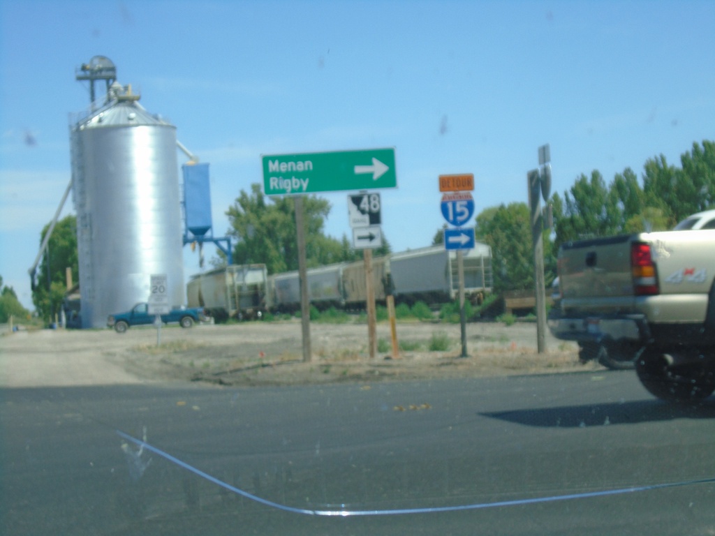
ID-48 - Roberts
ID-48 (N 2880 E) at E 650 N in Roberts. Turn right on E 650 N to continue east on ID-48 towards Menan and Rigby.
Taken 07-17-2020
 Roberts
Jefferson County
Idaho
United States
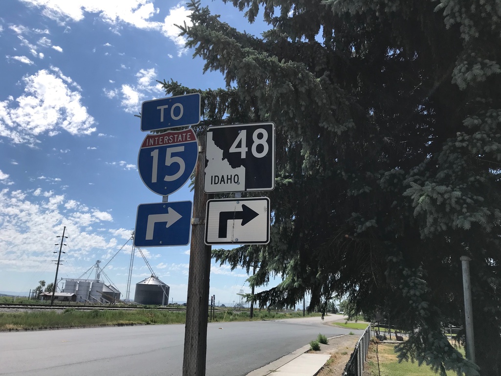
ID-48 West/To I-15 - Roberts
ID-48 West/To I-15 in Roberts.
Taken 07-17-2020

 Roberts
Jefferson County
Idaho
United States
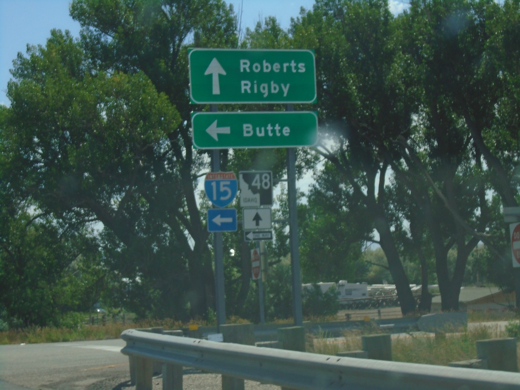
Begin ID-48 East at I-15 North
Begin ID-48 East at I-15 North in Roberts. Turn left for I-15 north to Butte (Montana); use ID-48 east for Roberts and Rigby.
Taken 07-17-2020

 Roberts
Jefferson County
Idaho
United States
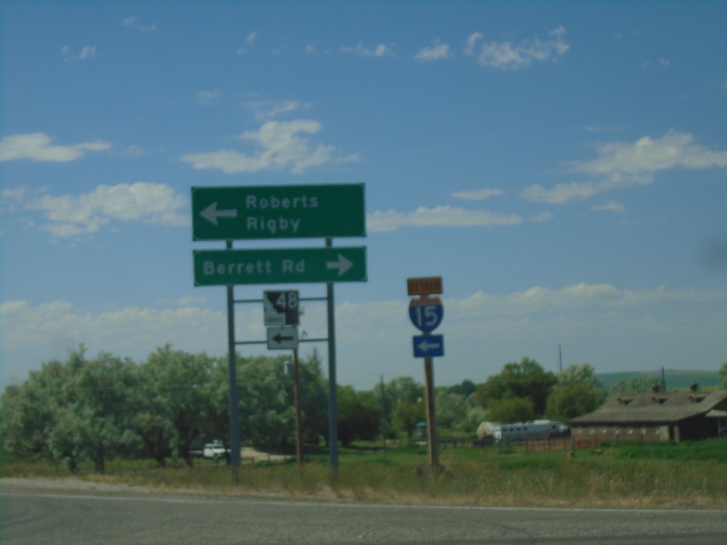
I-15 South (Exit 135) at ID-48
I-15 South (Exit 135) at ID-48 in Roberts. Turn left for Roberts and Rigby; left for Berrett Road.
Taken 07-17-2020

 Roberts
Jefferson County
Idaho
United States
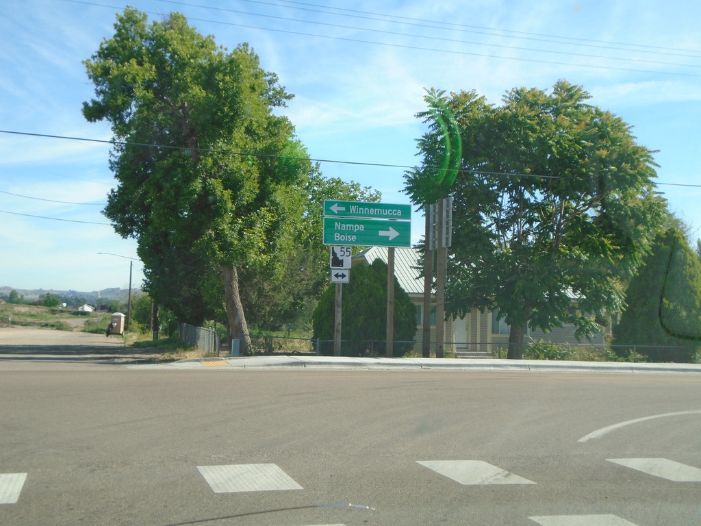
End ID-78 at ID-55
End ID-78 at ID-55 in Marsing. Turn right for ID-55 north to Nampa and Boise. Turn left for ID-55 south to Winnemucca (Nevada).
Taken 06-19-2020

 Marsing
Owyhee County
Idaho
United States
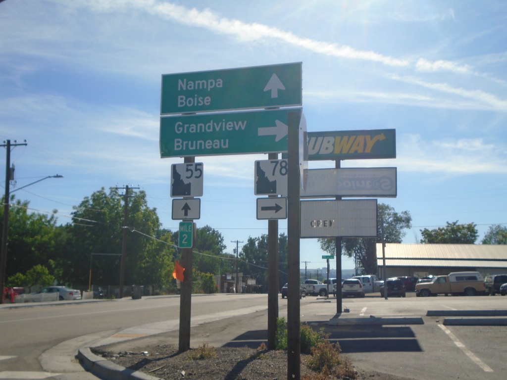
ID-55 North at ID-78
ID-55 north at ID-78 junction to Grandview and Bruneau. Continue north on ID-55 to Nampa and Boise. Milepost 2.
Taken 06-19-2020

 Marsing
Owyhee County
Idaho
United States
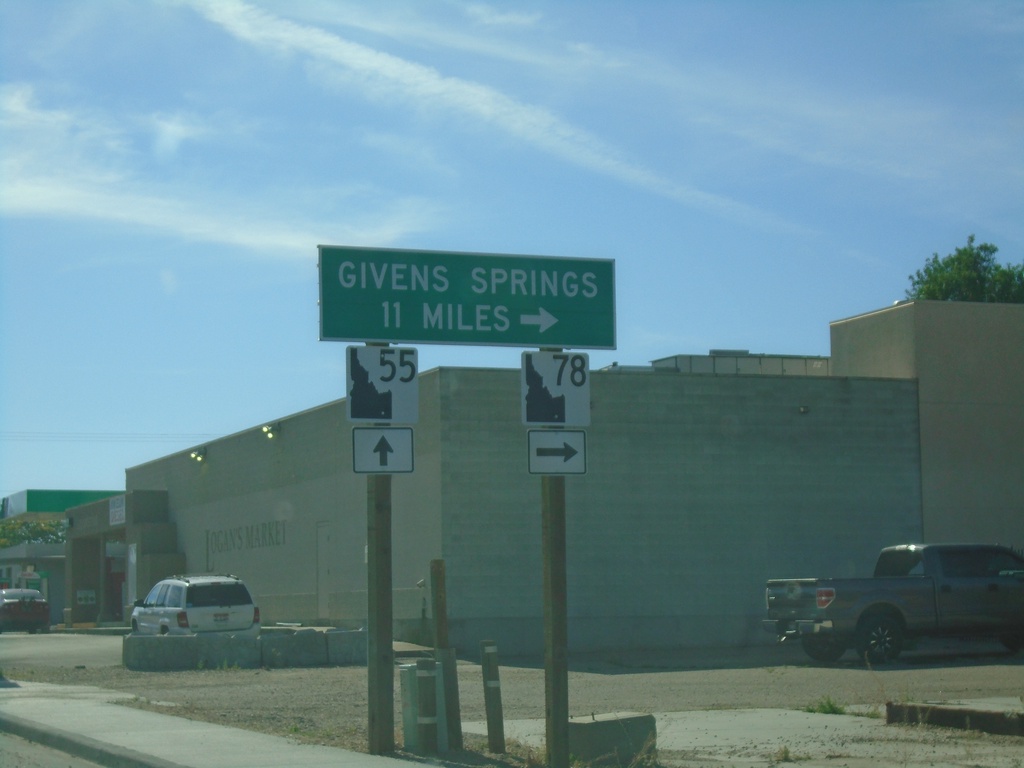
ID-55 North - Givens Hot Springs
ID-55 north approaching ID-78 junction in Marsing. Use ID-78 south for Givens (Hot) Springs.
Taken 06-19-2020

 Marsing
Owyhee County
Idaho
United States
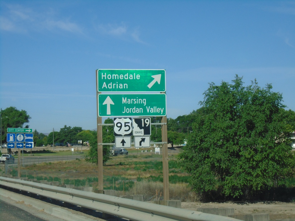
US-95 South/ID-19 At ID-19 West
US-95 South/ID-19 West At US-95/ID-19 split. Merge right for ID-19 west to Homedale and Adrian (Oregon). Continue south on US-95 for Marsing and Jordan Valley (Oregon).
Taken 06-19-2020

 Homedale
Owyhee County
Idaho
United States
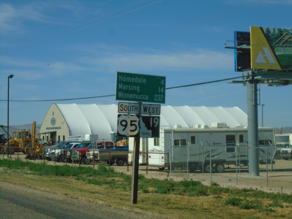
Distance Marker - US-95 South/ID-19 West South of Wilder
US-95 South/ID-19 West - Distance Marker. Distance to Homedale, Marsing, and Winnemucca (Nevada).
Taken 06-19-2020

 Wilder
Canyon County
Idaho
United States
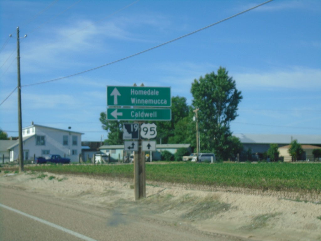
US-95 South Approaching ID-19 East
US-95 South approaching ID-19 East. Use ID-19 east to Caldwell. Continue south on US-95 and ID-19 West for Homedale and Winnemucca (Nevada). ID-19 joins US-95 south to Homedale.
Taken 06-19-2020

 Wilder
Canyon County
Idaho
United States
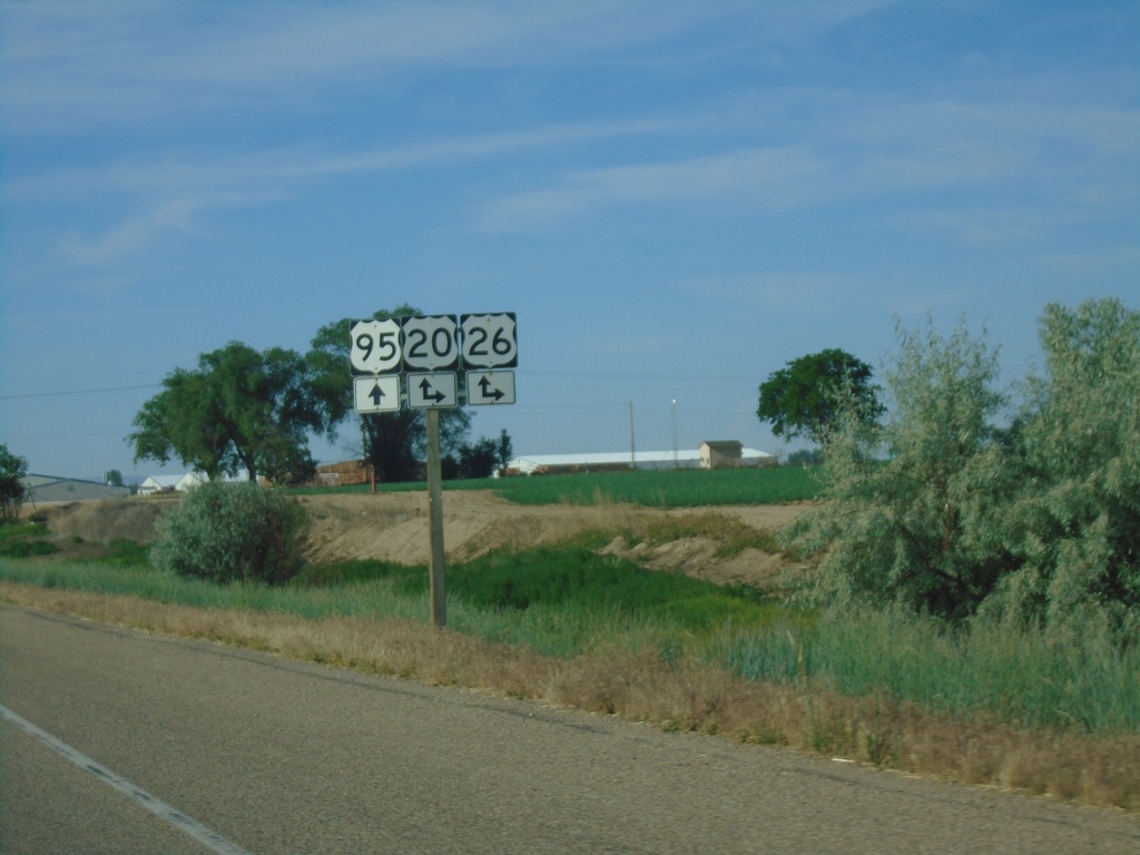
US-95 South at US-20/US-26
US-95 South at US-20/US-26 junction. US-20/US-26 joins US-95 south through Parma.
Taken 06-19-2020


 Parma
Canyon County
Idaho
United States
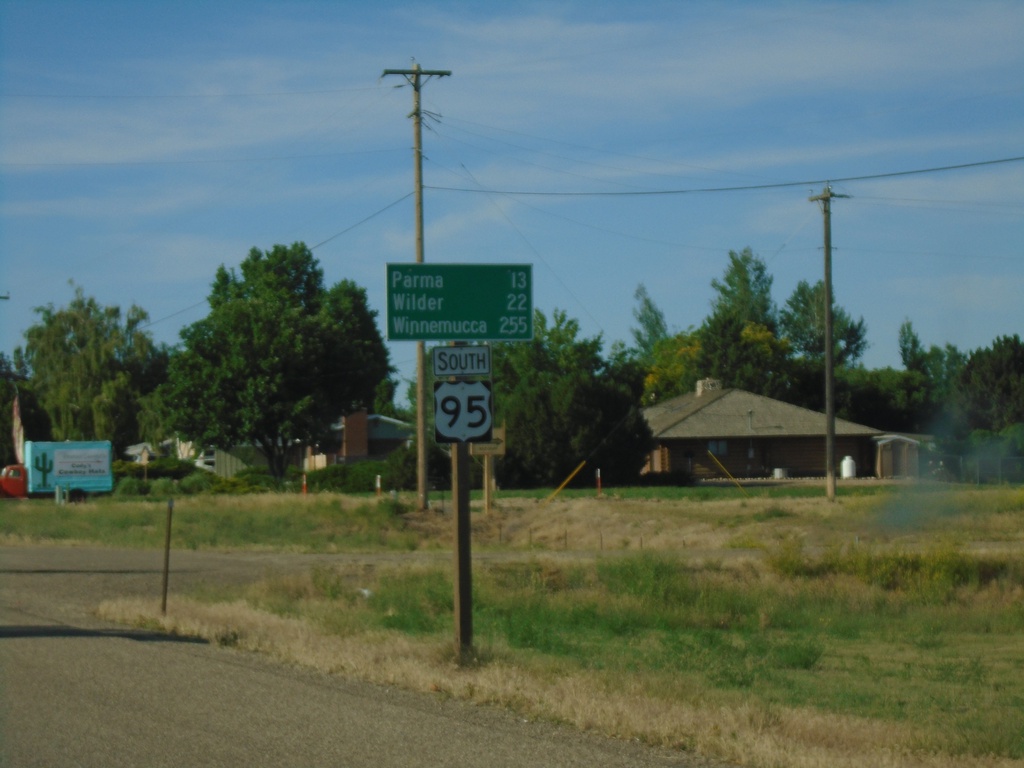
US-95 South - Distance Marker
Distance marker on US-95 south. Distance to Parma, Wilder, and Winnemucca (Nevada).
Taken 06-19-2020
 Fruitland
Payette County
Idaho
United States
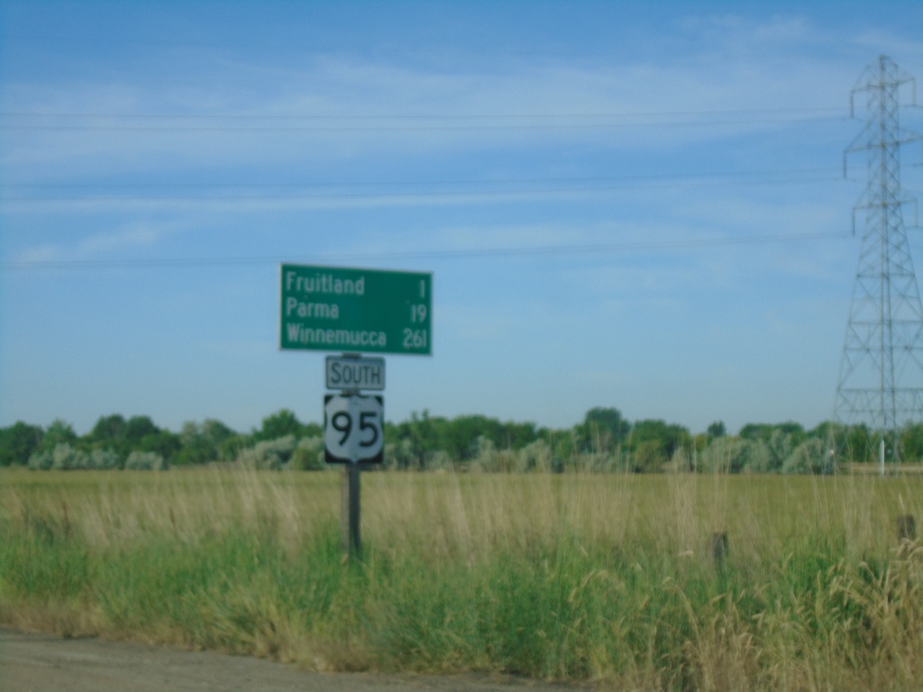
US-95 South - Distance Marker
Distance marker on US-95 south. Distance to Fruitland, Parma, and Winnemucca (Nevada).
Taken 06-19-2020
 Payette
 County
Idaho
United States
Payette
Payette County
Idaho
United States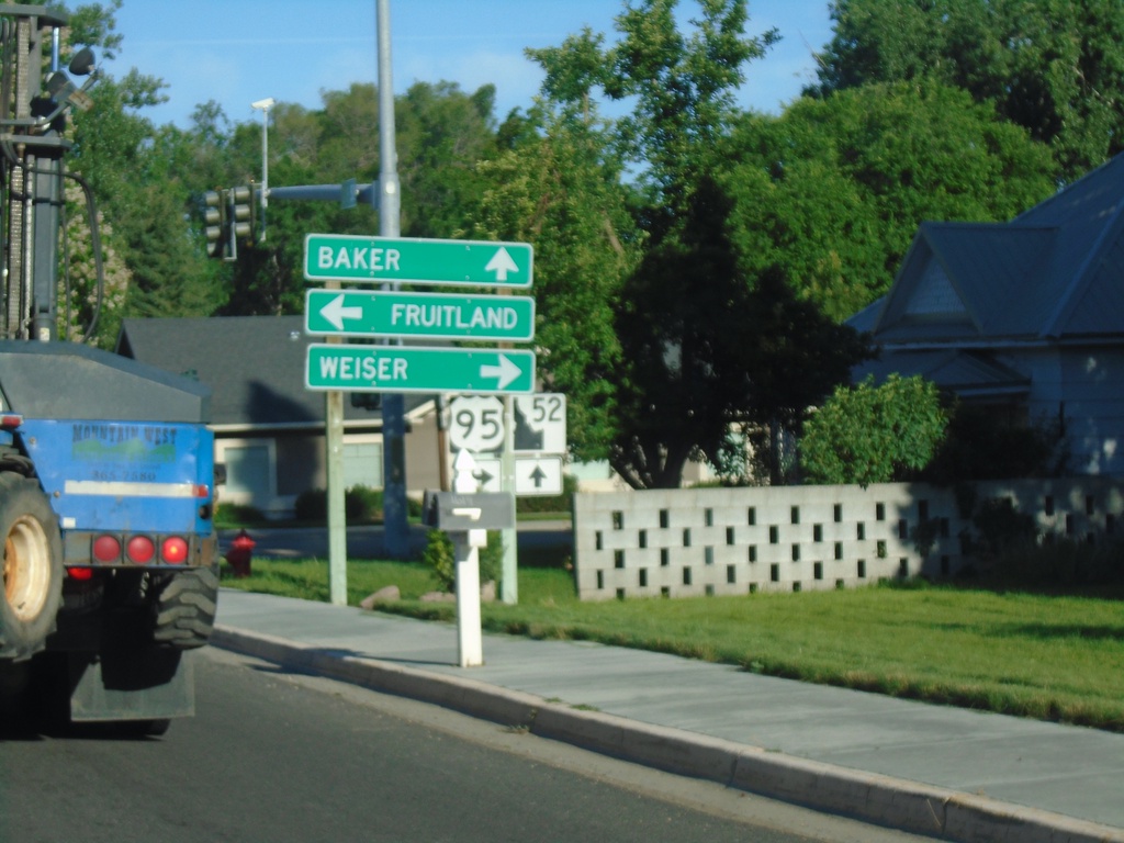
ID-52 West at US-95
ID-52 west at US-95 in Payette. Turn right for US-95 north to Weiser; left for US-95 south to Fruitland. Continue west on ID-52 for Baker (City, Oregon). The ID-52 shield is the new style of Idaho state highway shield.
Taken 06-19-2020

 Payette
 County
Idaho
United States
Payette
Payette County
Idaho
United States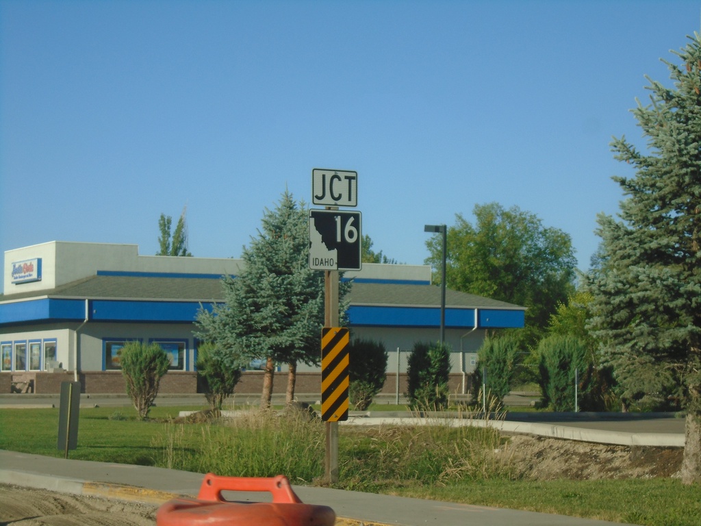
ID-52 West Approaching ID-16
ID-52 West approaching ID-16 in Emmett.
Taken 06-19-2020

 Emmett
Gem County
Idaho
United States
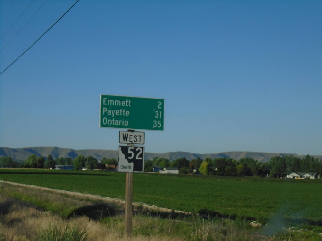
ID-52 West - Distance Marker
Distance marker on ID-52 west. Distance to Emmett, Payette, and Ontario.
Taken 06-19-2020
 Emmett
Gem County
Idaho
United States
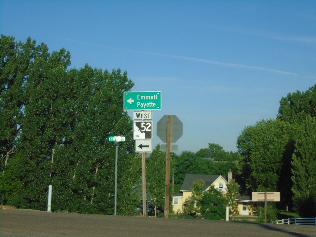
ID-52 West at Van Deusen Road
ID-52 West (Black Canyon Highway) at Van Deusen Road junction. Turn left to continue west on ID-52 to Emmett and Payette.
Taken 06-19-2020
 Emmett
Gem County
Idaho
United States