Signs Tagged With Shield
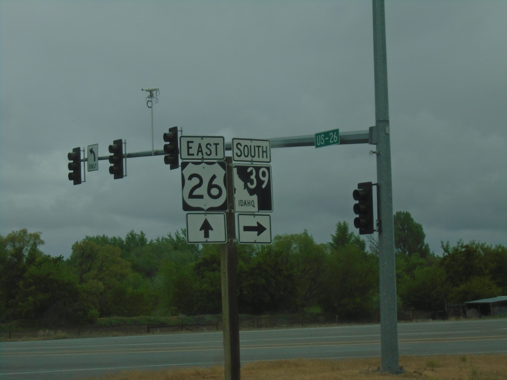
US-26 East at ID-39 South
US-26 East at ID-39 South in Blackfoot.
Taken 05-22-2020

 Blackfoot
Bingham County
Idaho
United States
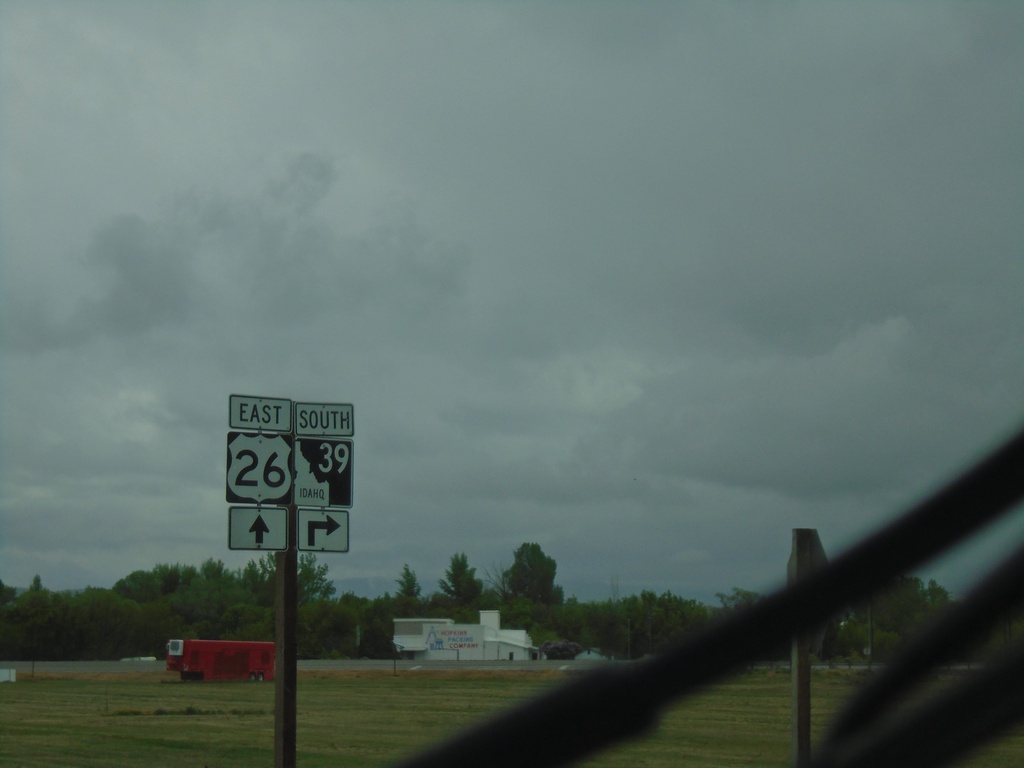
US-26 East at ID-39
US-26 East at ID-39 south in Blackfoot.
Taken 05-22-2020

 Blackfoot
Bingham County
Idaho
United States
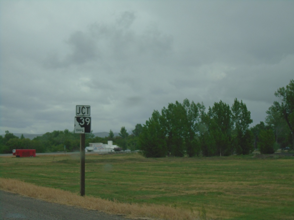
US-26 East Approaching ID-39
US-26 East approaching ID-39 in Blackfoot.
Taken 05-22-2020

 Blackfoot
Bingham County
Idaho
United States
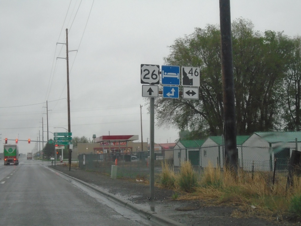
US-26 East at ID-46
US-26 East at ID-46 in Gooding. The ID-46 shield is the new design of the Idaho state highway shield.
Taken 05-22-2020

 Gooding
 County
Idaho
United States
Gooding
Gooding County
Idaho
United States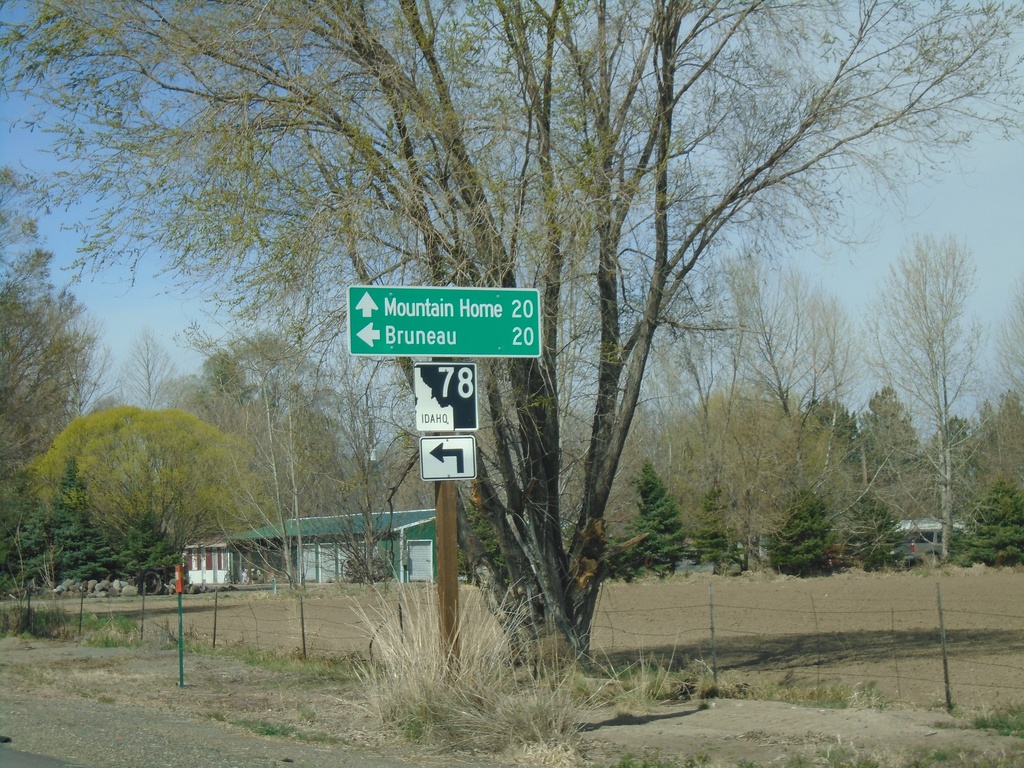
Old US-30 West Approaching ID-78
Old US-30 West approaching ID-78 in Hammett. Turn left for ID-78 west to Bruneau. Continue straight for ID-78 east to Mountain Home.
Taken 04-04-2020
 Hammett
Elmore County
Idaho
United States
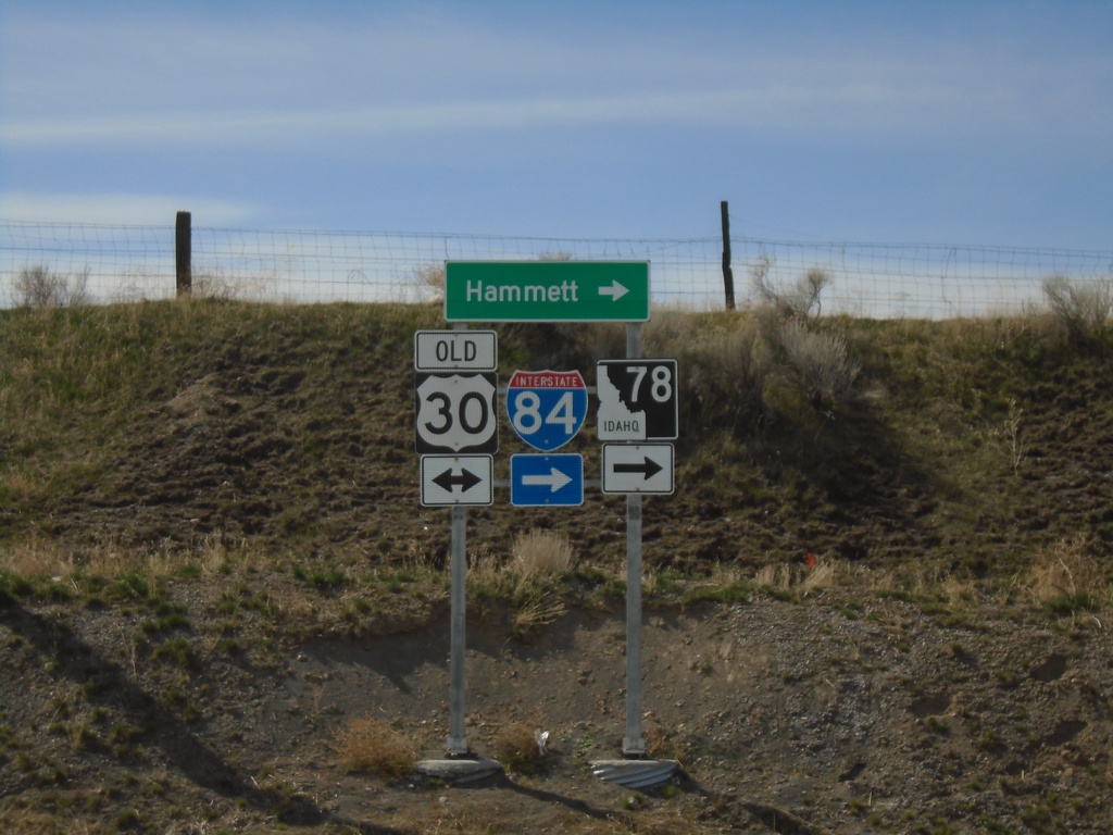
Cold Springs Road at Old US-30
Cold Springs Road at Old US-30. Turn right for ID-78, I-84, and Hammett.
Taken 04-04-2020

 Hammett
Elmore County
Idaho
United States
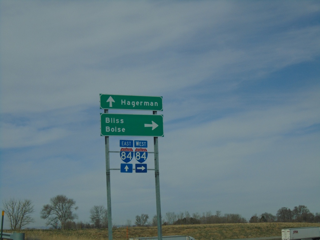
ID-46 Spur at I-84
End ID-46 Spur at I-84 (Exit 155). Use I-84 west for Bliss and Boise. Continue over freeway to continue on county road to Hagerman.
Taken 04-04-2020

 Wendell
Gooding County
Idaho
United States
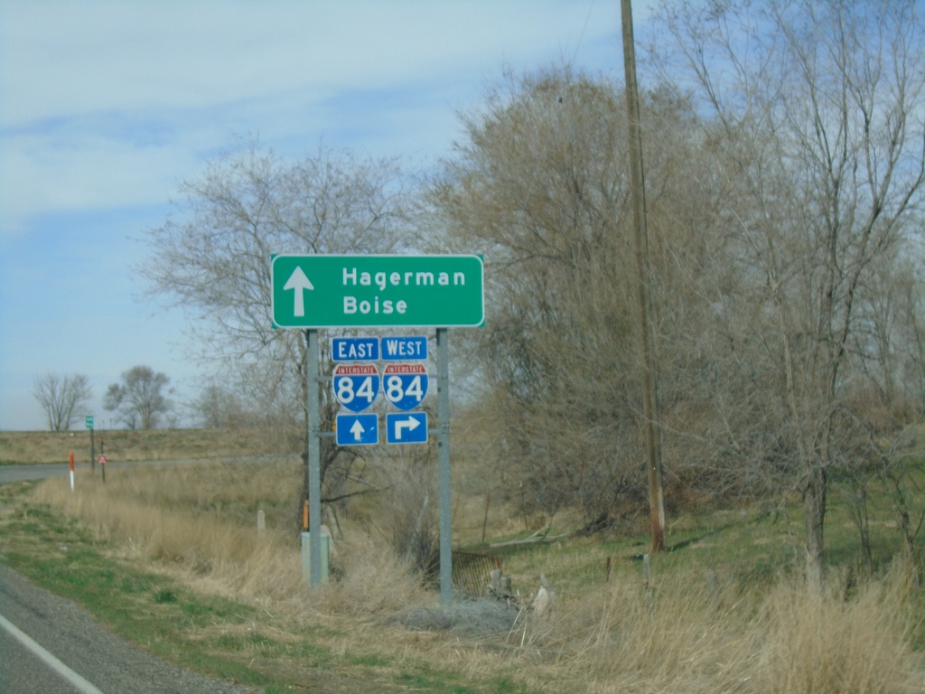
ID-46 (Spur) West at I-84
ID-46 (Spur) West at I-84 (Exit 155). Use I-84 west for Boise; continue over freeway for I-84 east and to Hagerman via East 2950 South.
Taken 04-04-2020

 Wendell
Gooding County
Idaho
United States
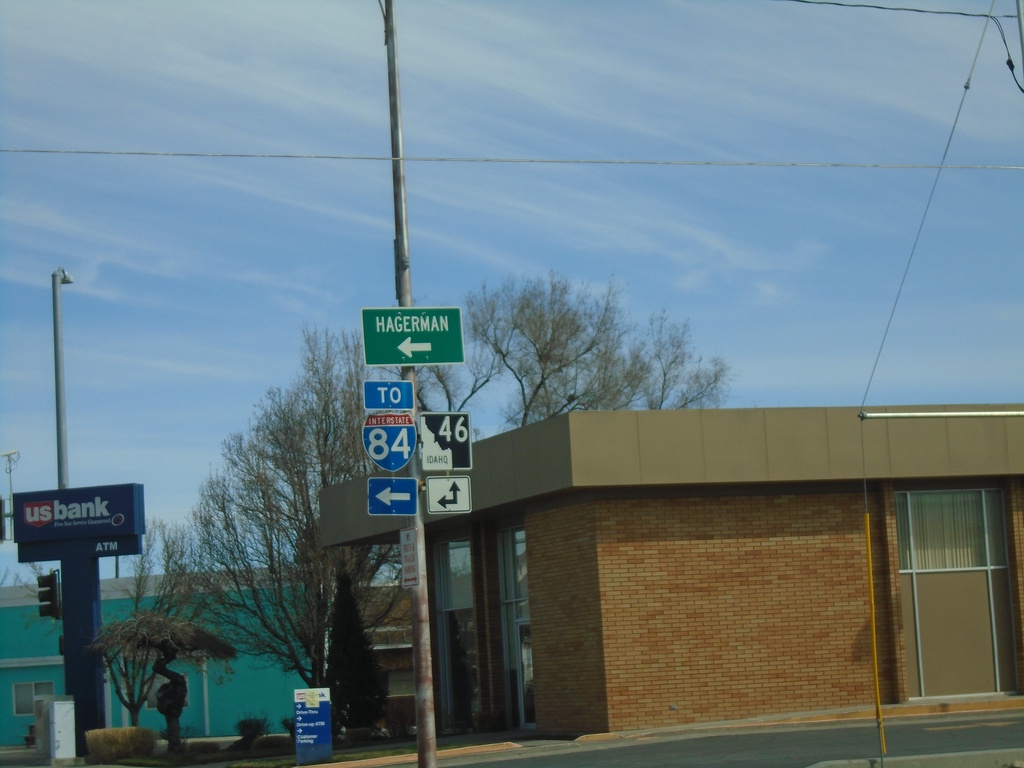
ID-46 North (Idaho St.) at ID-46 Spur to I-84
ID-46 North (Idaho St.) at ID-46 Spur (Main St.) to I-84 and Hagerman.
Taken 04-04-2020

 Wendell
Gooding County
Idaho
United States
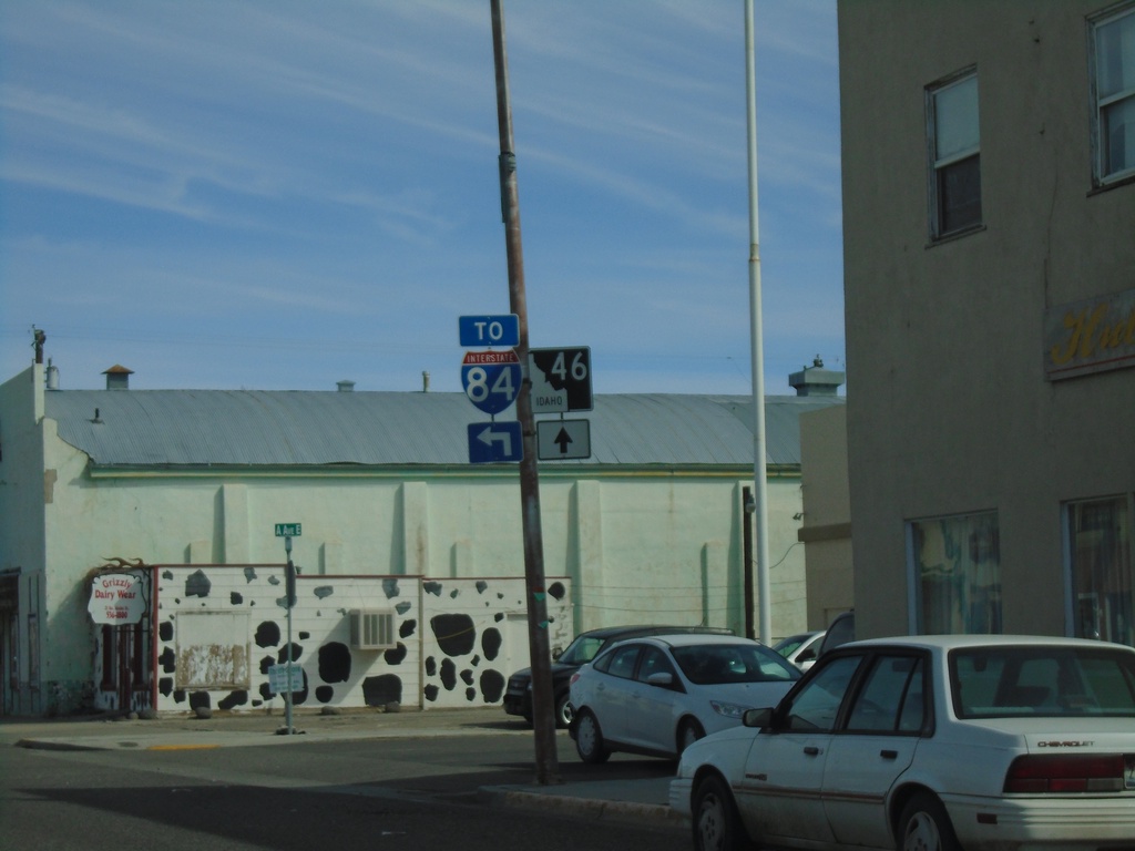
ID-46 North (Idaho St.) at ID-46 Spur to I-84
ID-46 North (Idaho St.) at ID-46 Spur (Main St.) to I-84.
Taken 04-04-2020

 Wendell
Gooding County
Idaho
United States
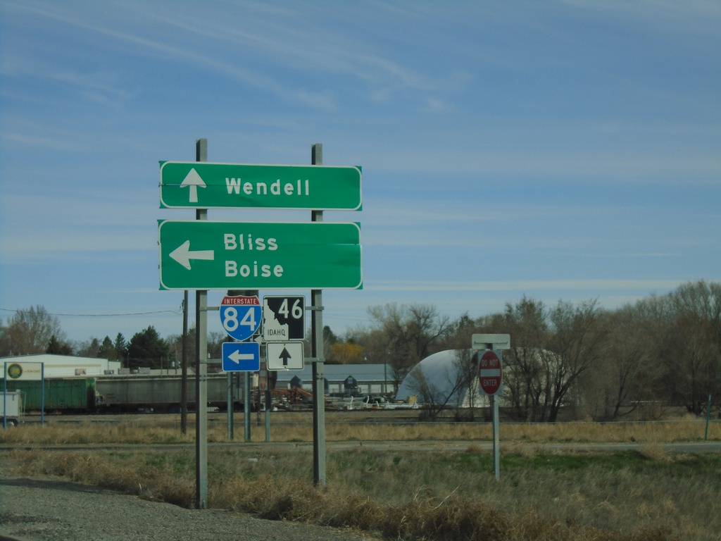
ID-46 North at I-84 West
ID-46 North at I-84 west to Boise and Bliss. Continue north on ID-46 for Wendell.
Taken 04-04-2020

 Wendell
Gooding County
Idaho
United States
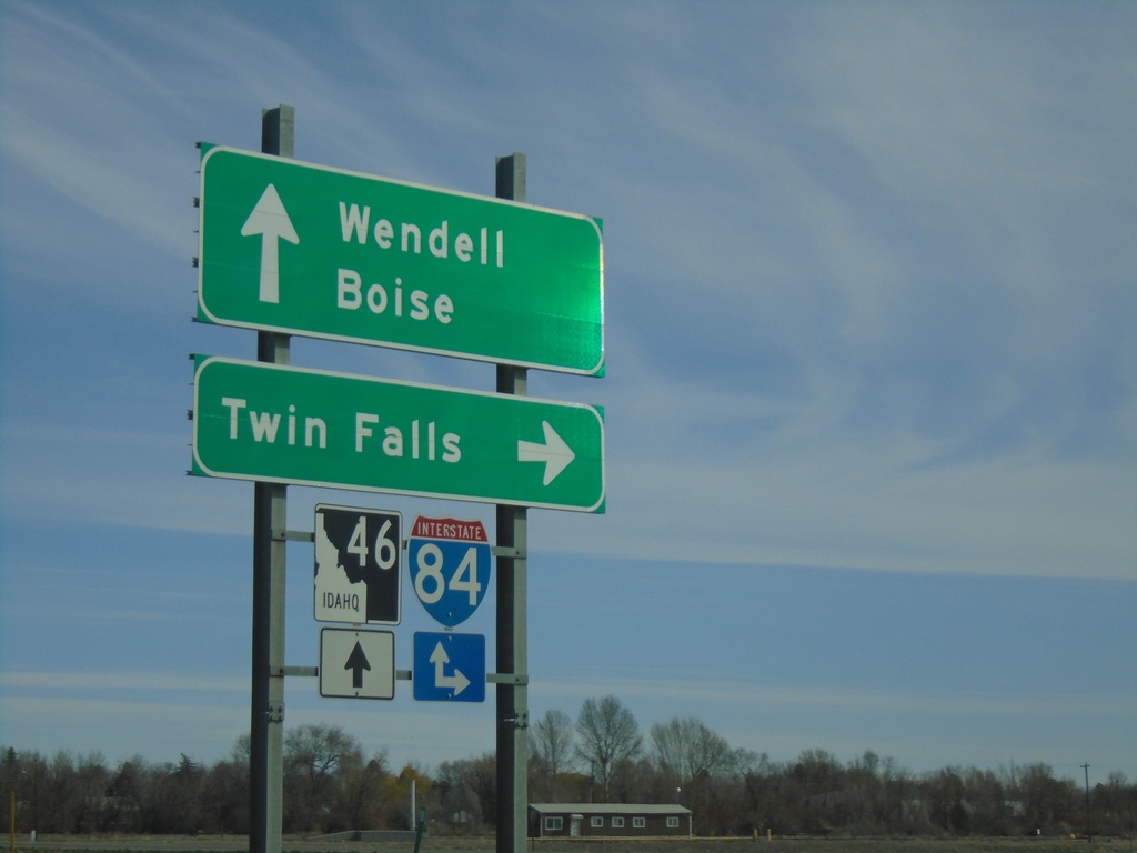
ID-46 North at I-84 Junction
ID-46 north at I-84 junction in Wendell. Use I-84 east to Twin Falls and I-84 west to Boise. Continue north on ID-46 for Wendell.
Taken 04-04-2020

 Wendell
Gooding County
Idaho
United States
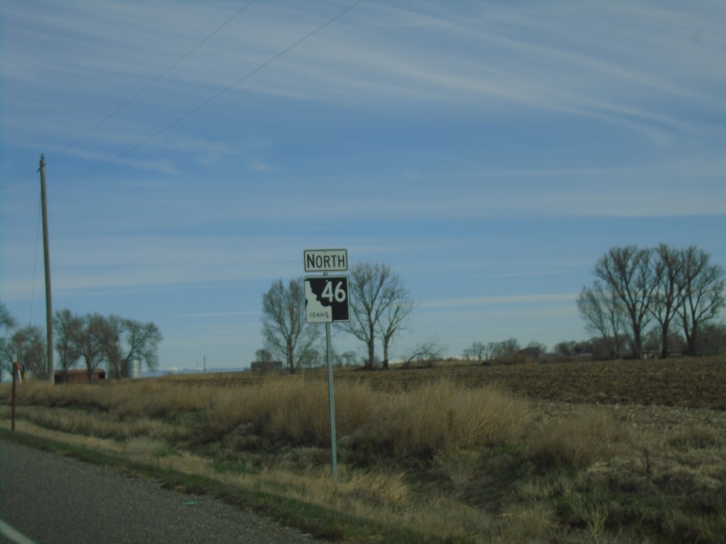
ID-46 North - Gooding County
ID-46 North in Gooding County. This is the first ID-46 shield northbound, about 10 miles north of its beginning in Buhl. The section between Wendell and Buhl was added to the state highway system in the last 5 years.
Taken 04-04-2020
 Wendell
Gooding County
Idaho
United States
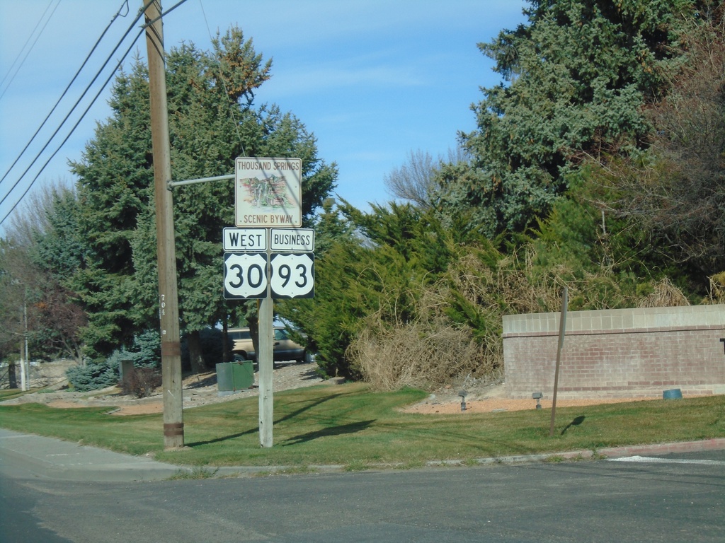
US-30 East/Bus. US-93 South - Thousand Springs Scenic Byway
US-30 East/Bus. US-93 South (Addison Ave.) - Thousand Springs Scenic Byway
Taken 04-04-2020

 Twin Falls
 County
Idaho
United States
Twin Falls
Twin Falls County
Idaho
United States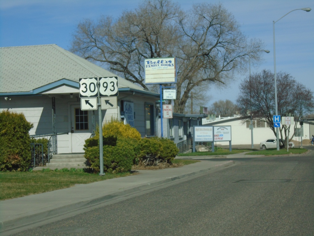
US-30 West Approaching Bus. US-93 (Addison Ave.)
US-30 West (2nd Ave. North) approaching Bus. US-93 (Addison Ave.) in Twin Falls. Merge left for US-30 West and Bus. US-93 South.
Taken 04-04-2020

 Twin Falls
 County
Idaho
United States
Twin Falls
Twin Falls County
Idaho
United States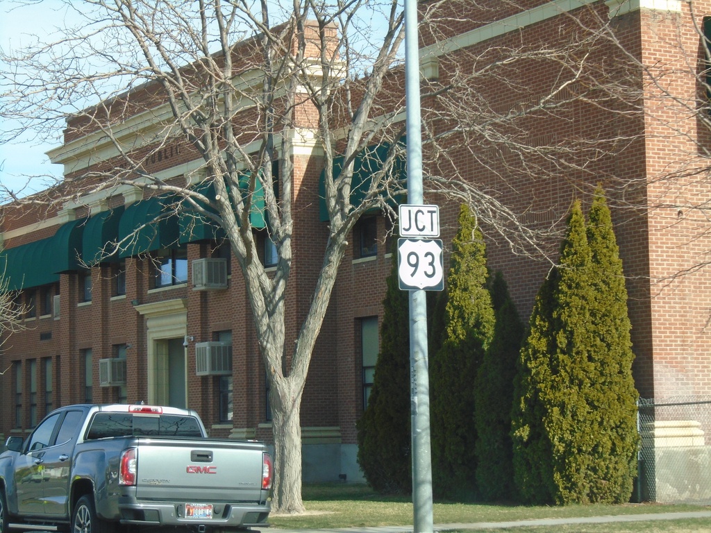
US-30 West Approaching (Bus.) US-93
US-30 West (2nd Ave. N) Approaching (Bus.) US-93 in Twin Falls. The stretch of US-93 through downtown Twin Falls was designated as Bus. US-93 when the main route was re-routed to the north and west of town. There is still plenty of old signage in town without the Business banner.
Taken 04-04-2020

 Twin Falls
 County
Idaho
United States
Twin Falls
Twin Falls County
Idaho
United States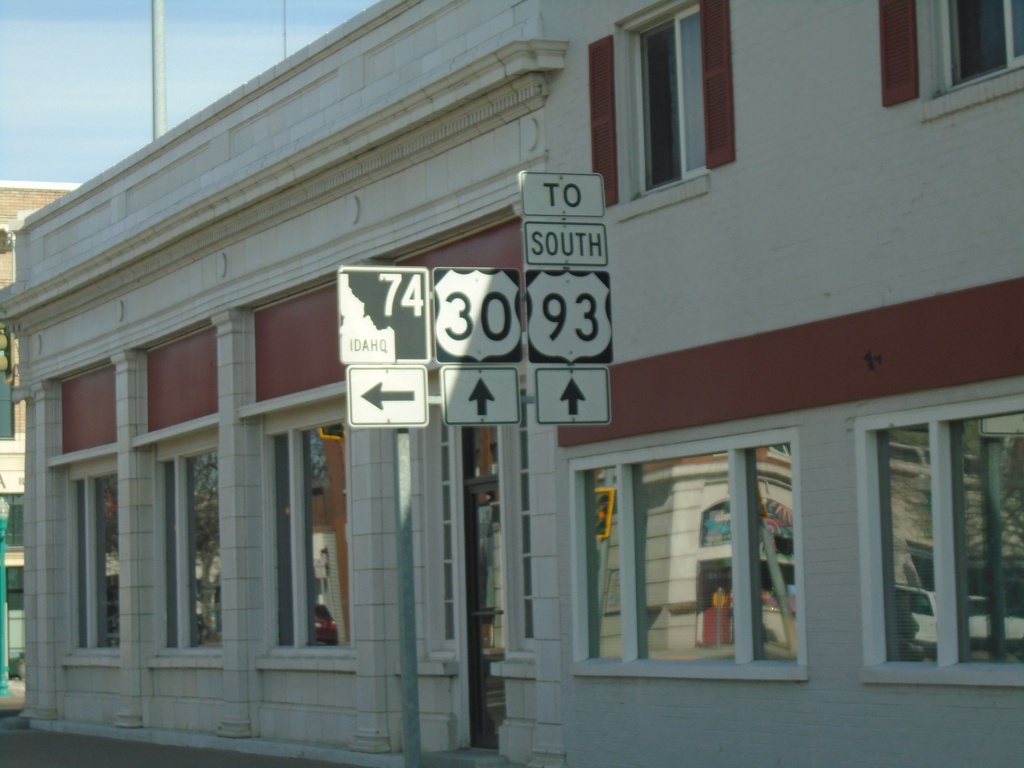
US-30 West Approaching ID-74
US-30 West approaching ID-74 in downtown Twin Falls. Continue on US-30 for US-93 South junction.
Taken 04-04-2020


 Twin Falls
 County
Idaho
United States
Twin Falls
Twin Falls County
Idaho
United States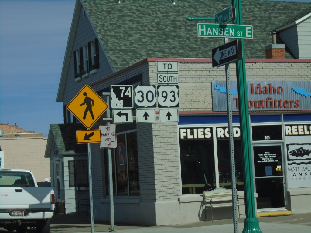
US-30 West at ID-74
US-30 west (2nd Ave N) at ID-74 (Shoshone St.) in downtown Twin Falls.
Taken 04-04-2020

 Twin Falls
 County
Idaho
United States
Twin Falls
Twin Falls County
Idaho
United States
US-30 West Approaching ID-74
US-30 West (2nd Ave East) approaching ID-74 in downtown Twin Falls.
Taken 04-04-2020

 Twin Falls
 County
Idaho
United States
Twin Falls
Twin Falls County
Idaho
United States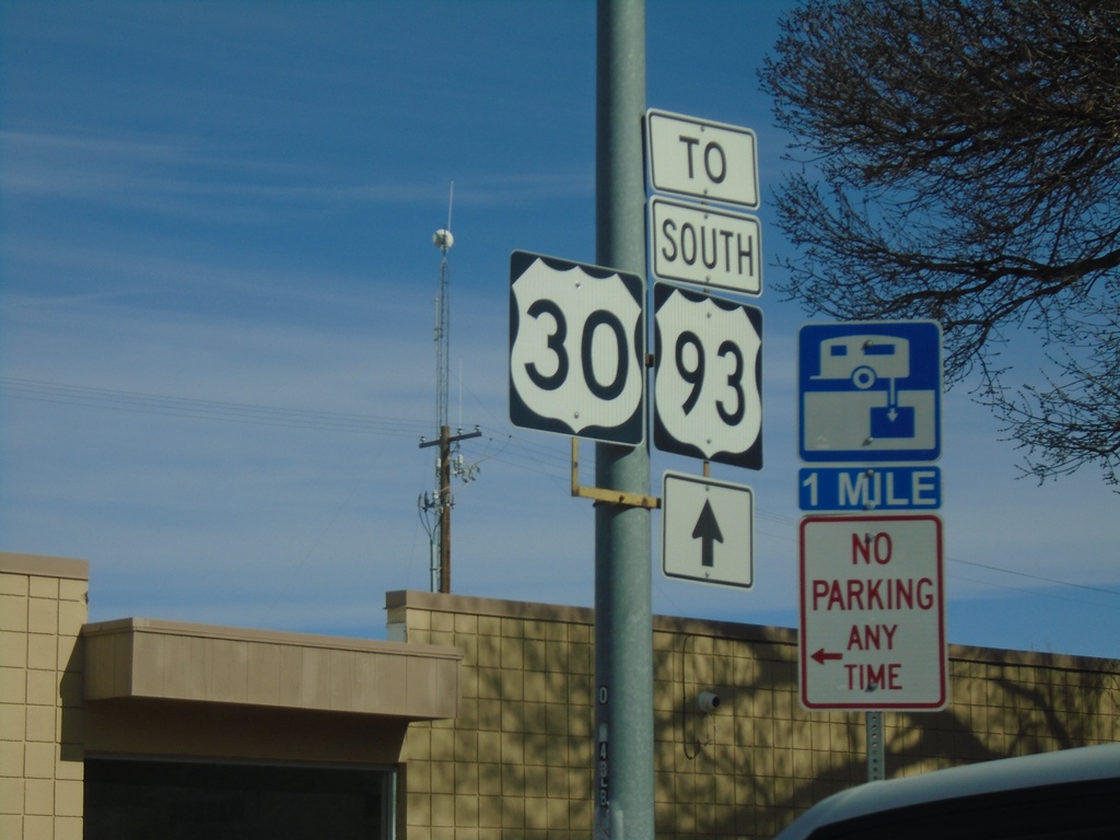
US-30 West/Bus. US-93 South - To US-93
US-30 West/Bus. US-93 South - To US-93 on Addison Ave. in Twin Falls.
Taken 04-04-2020


 Twin Falls
 County
Idaho
United States
Twin Falls
Twin Falls County
Idaho
United States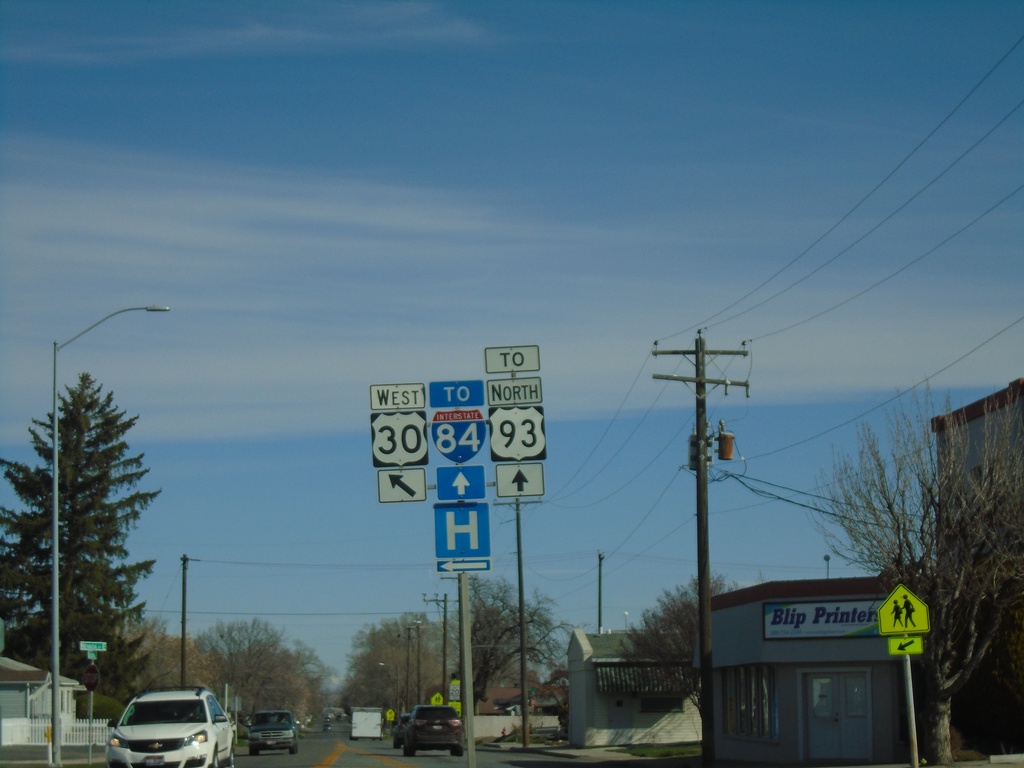
US-30 West - Blue Lakes Blvd. at 2nd Ave. E
US-30 West - Blue Lakes Blvd. at 2nd Ave. E in Twin Falls. Turn left to continue on US-30 West. Continue north on Blue Lakes Blvd. for US-93 North at I-84.
Taken 04-04-2020


 Twin Falls
 County
Idaho
United States
Twin Falls
Twin Falls County
Idaho
United States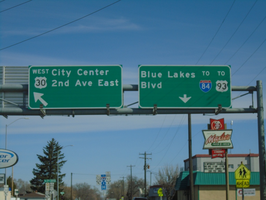
US-30 West - Blue Lakes Blvd. at 2nd Ave. E
US-30 West - Blue Lakes Blvd. at 2nd Ave. E in Twin Falls. Turn left to continue on US-30 West for City Center and 2nd Ave E. Continue north on Blue Lakes Blvd. for US-93 North at I-84.
Taken 04-04-2020


 Twin Falls
 County
Idaho
United States
Twin Falls
Twin Falls County
Idaho
United States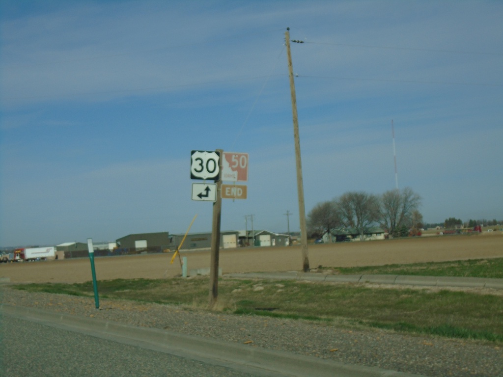
End ID-50 South at US-30
End ID-50 South at US-30 in Kimberly. The ID-50 shield is brown because it is part of the Thousand Springs Scenic Byway.
Taken 04-04-2020

 Kimberly
Twin Falls County
Idaho
United States
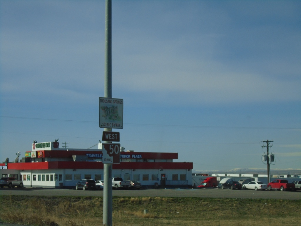
ID-50 South - Thousand Springs Scenic Byway
ID-50 South - Thousand Springs Scenic Byway
Taken 04-04-2020
 Eden
Jerome County
Idaho
United States
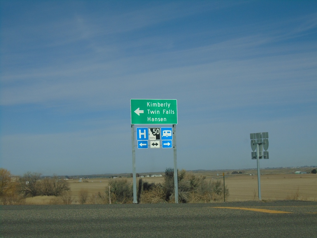
I-84 West - Exit 182 Offramp at ID-50
I-84 West - Exit 182 offramp at ID-50. Turn left for ID-50 west to Kimberly, Hansen, and Twin Falls.
Taken 04-04-2020

 Tipperary Corner
Jerome County
Idaho
United States