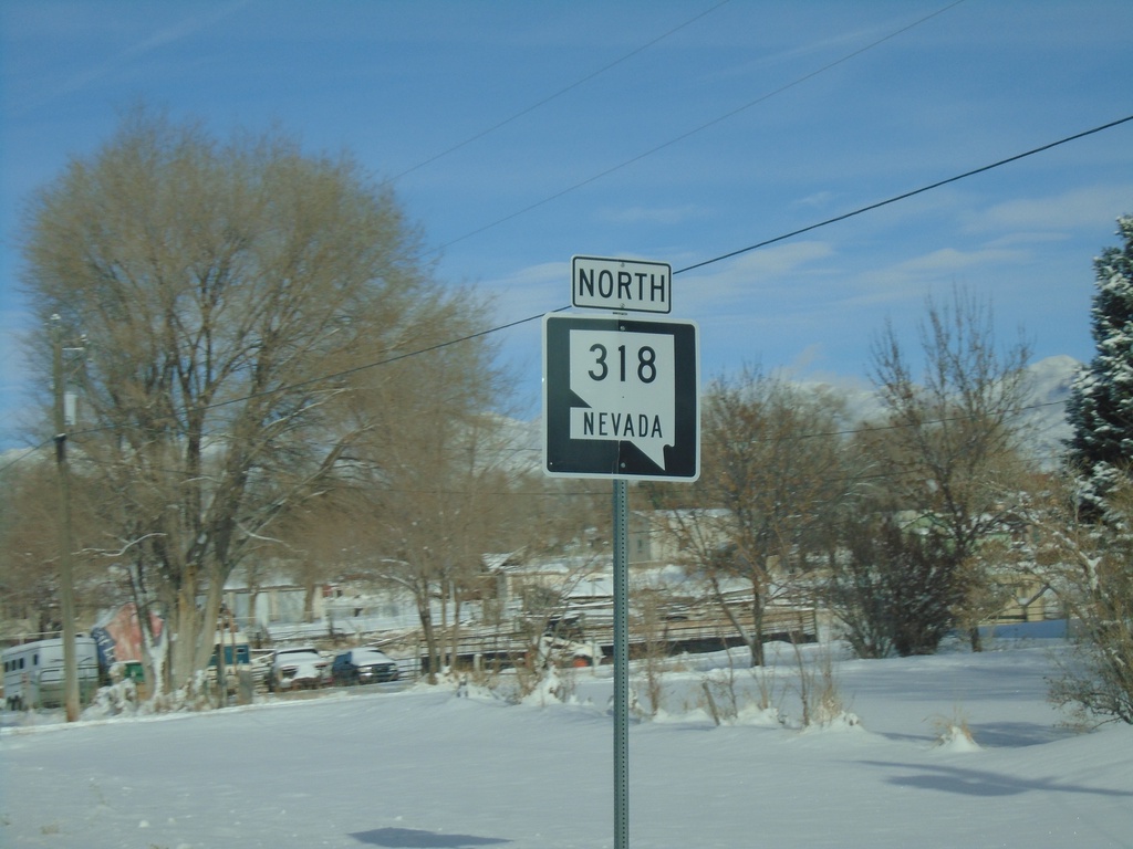
Signs Tagged With Shield
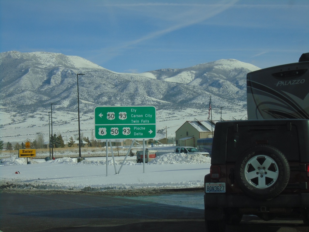
US-6 West at US-93/US-50
US-6 West at US-93/US-50. Use US-6/US-50 East/US-93 South for Pioche and Delta (Utah); use US-50 West/US-93 North for Ely, Carson City, and Twin Falls (Idaho).
Taken 11-30-2019


 Ely
White Pine County
Nevada
United States
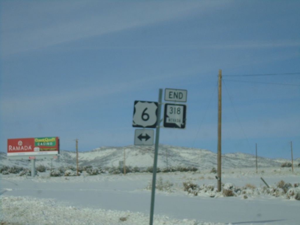
End NV-318 North at US-6
End NV-318 north at US-6 in White Pine County
Taken 11-30-2019

 Preston
White Pine County
Nevada
United States
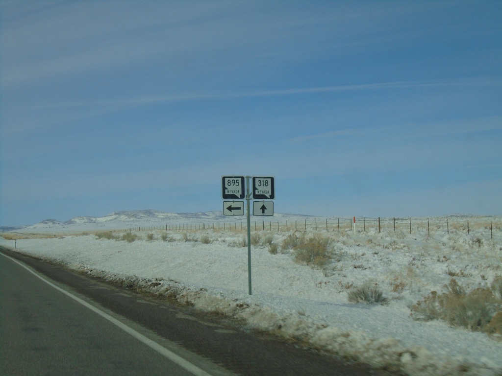
NV-318 North at NV-895
NV-318 North at NV-895 in White Pine County
Taken 11-30-2019

 Preston
White Pine County
Nevada
United States
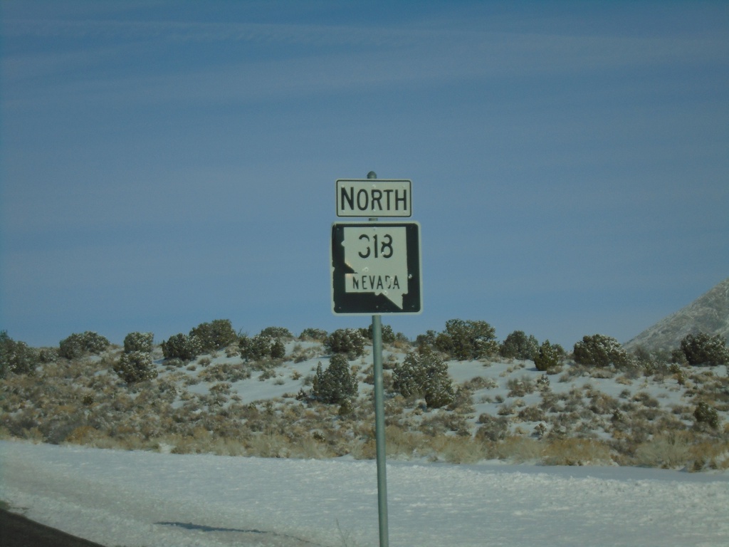
NV-318 North - Lincoln County
NV-318 North in Lincoln County
Taken 11-30-2019
 Hiko
Lincoln County
Nevada
United States
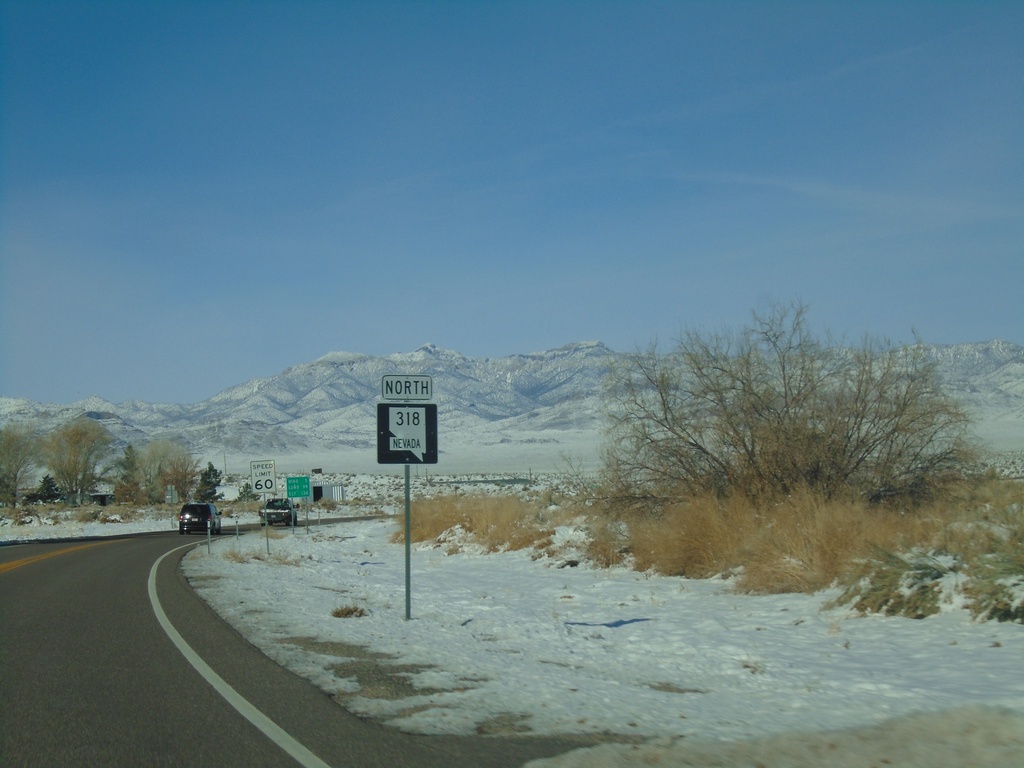
NV-318 North - Lincoln County
NV-318 north in Lincoln County.
Taken 11-30-2019
 Hiko
Lincoln County
Nevada
United States
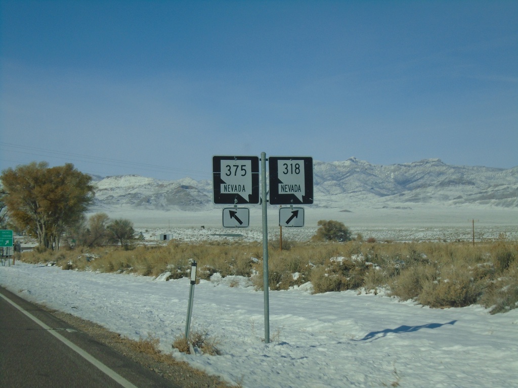
NV-318 North at NV-375
NV-318 North at NV-375 in Lincoln County. Merge left for NV-375 North; merge right for NV-318 North.
Taken 11-30-2019

 Hiko
Lincoln County
Nevada
United States
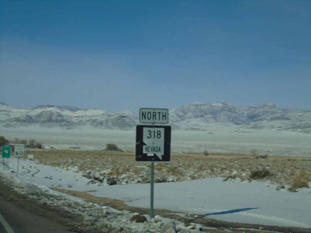
NV-318 North - Lincoln County
NV-318 north in Lincoln County
Taken 11-30-2019
 Alamo
Lincoln County
Nevada
United States
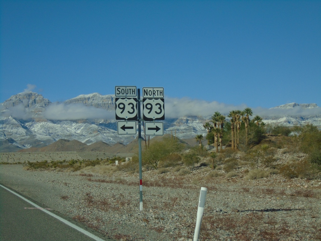
End NV-168 West at US-93
End NV-168 West at US-93 in Clark County.
Taken 11-30-2019

 Moapa
Clark County
Nevada
United States
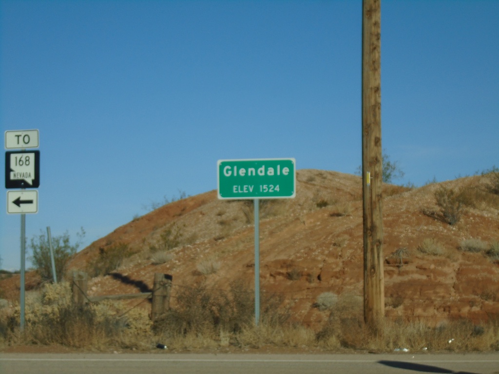
I-15 South at NV-168 - Glendale
I-15 South at NV-168 (Exit 91). Entering Glendale - Elevation 1524. Turn left for NV-168.
Taken 11-30-2019

 Moapa
Clark County
Nevada
United States
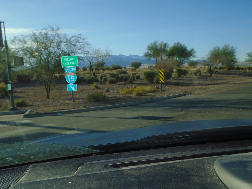
Pioneer Blvd at I-15 South
Pioneer Blvd at I-15 South (Exit 122) onramp
Taken 11-30-2019
 Mesquite
Clark County
Nevada
United States
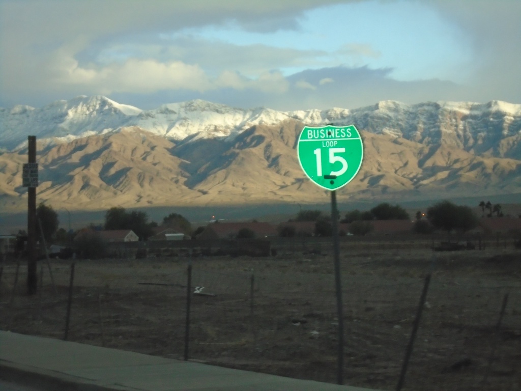
BL-15 East - Mesquite
BL-15 east on Mesquite Blvd.
Taken 11-29-2019
 Mesquite
Clark County
Nevada
United States
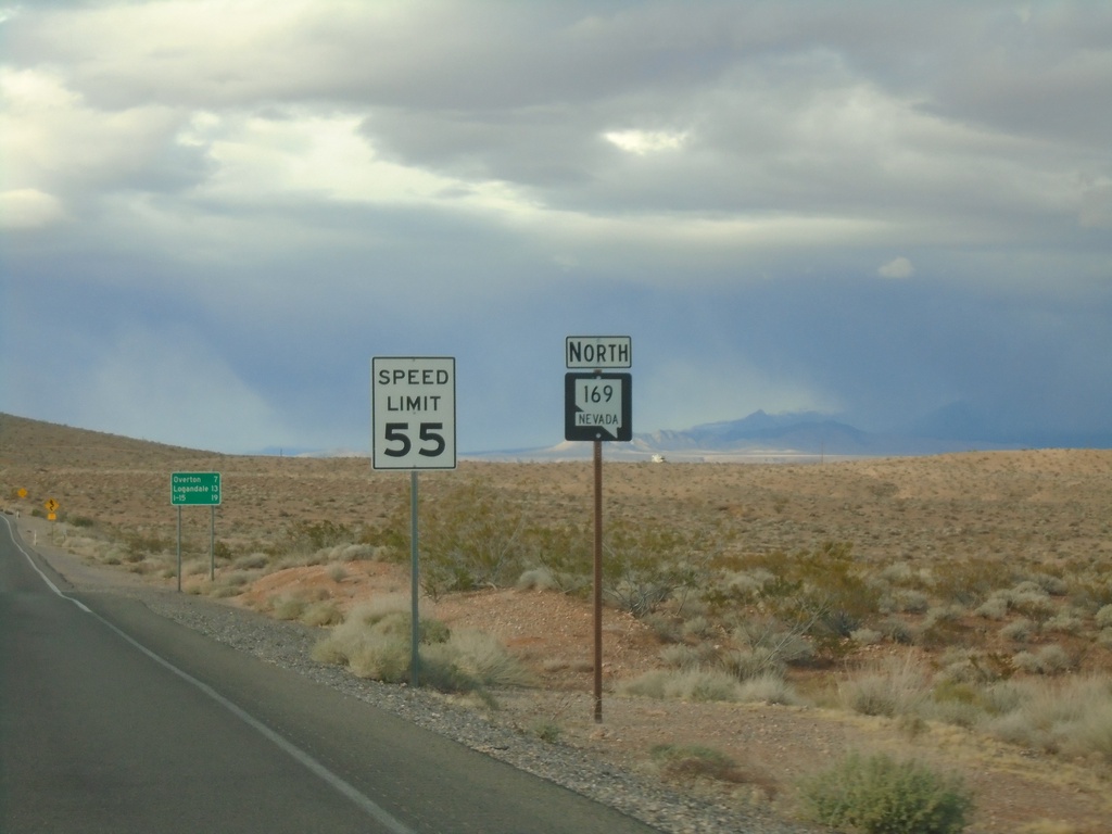
Begin NV-169 North
Begin NV-169 North at the boundary of Lake Mead National Recreation Area
Taken 11-29-2019
 Moapa Valley
Clark County
Nevada
United States
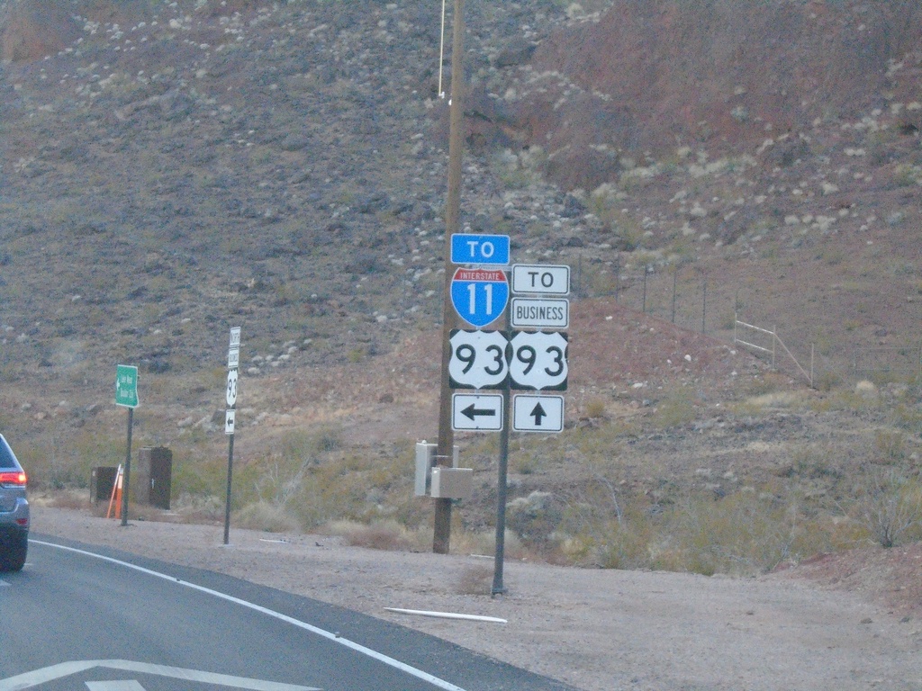
End NV-172 West at I-11/US-93/Bus. US-93
End NV-172 West at I-11/US-93/Bus. US-93 junction. Turn left for I-11/US-93 (Exit 2); continue straight for Bus. US-93
Taken 11-27-2019


 Boulder City
Clark County
Nevada
United States
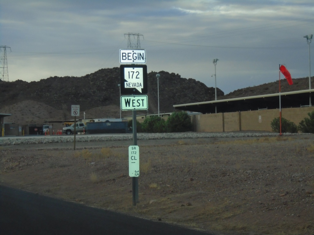
Begin NV-172 West
Begin NV-172 west at the Hoover Dam Security Checkpoint. Postmile 1.35.
Taken 11-27-2019
 Boulder City
Clark County
Nevada
United States
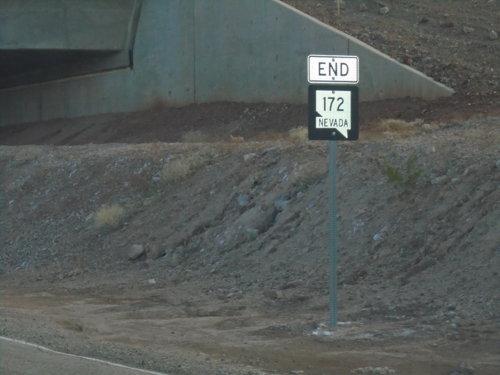
End NV-172 West
End NV-172 West approaching I-11/US-93/US-95
Taken 11-27-2019
 Boulder City
Clark County
Nevada
United States
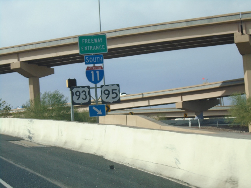
End NV-564 West at I-11/I-215
End NV-564 West at I-11/I-215 junction. Merge right for I-11/US-93/US-95 south. Continue west for I-215 west.
Taken 11-27-2019


 Henderson
Clark County
Nevada
United States
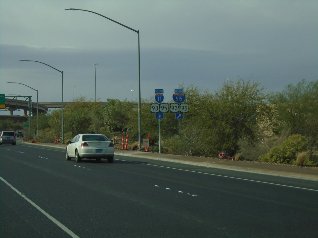
NV-564 West Approaching I-11/I-515/I-215/US-93/US-95
NV-564 West (Lake Mead Parkway) approaching I-11/I-515/I-215/US-93/US-95 in Henderson.
Taken 11-27-2019


 Henderson
Clark County
Nevada
United States
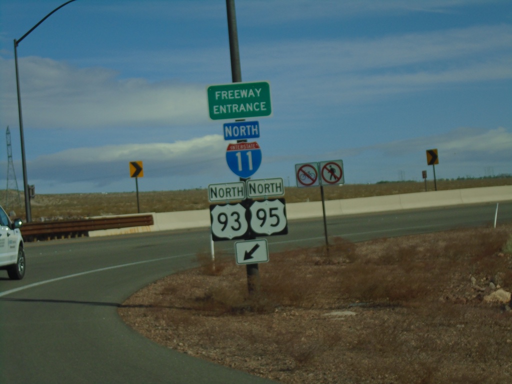
US-95 North at I-11/US-93
US-95 North at I-11/US-93 (Exit 14) in Boulder City. Merge right for I-11/US-93/US-95 north onramp. US-95 joins US-93 north to I-15 in Las Vegas.
Taken 11-27-2019


 Boulder City
Clark County
Nevada
United States
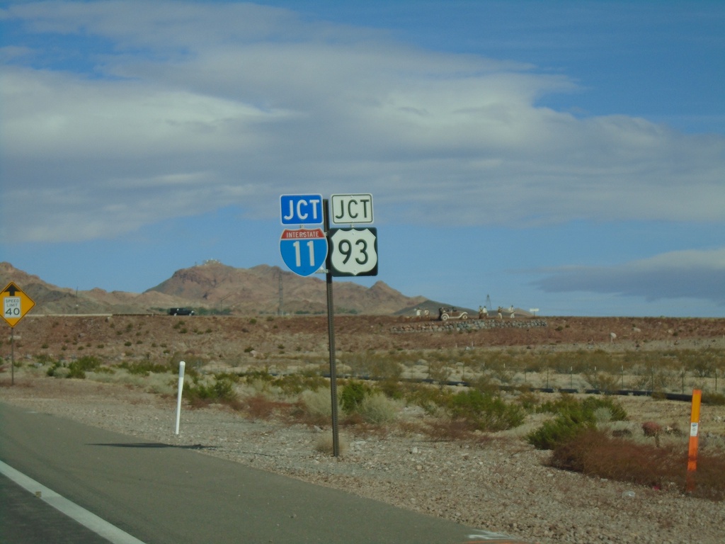
US-95 North Approaching I-11/US-93
US-95 North approaching I-11/US-93 in Boulder City.
Taken 11-27-2019


 Boulder City
Clark County
Nevada
United States
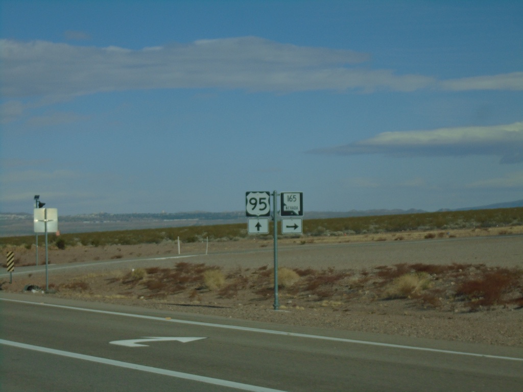
US-95 North at NV-165
US-95 North at NV-165 East.
Taken 11-27-2019

 Boulder City
Clark County
Nevada
United States
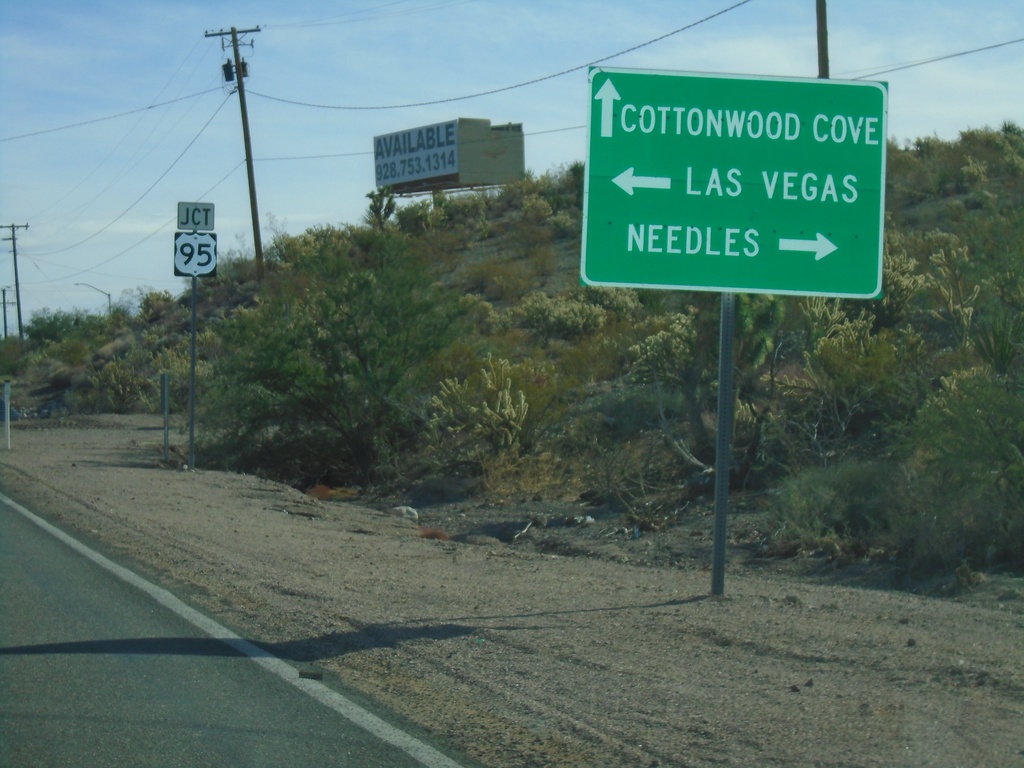
End NV-164 East at US-95
End NV-164 East at US-95 in Searchlight. Turn right for US-95 south to Needles (CA); left for US-95 north to Las Vegas. Continue straight for Cottonwood Cove Road to Cottonwood Cove.
Taken 11-27-2019

 Searchlight
Clark County
Nevada
United States
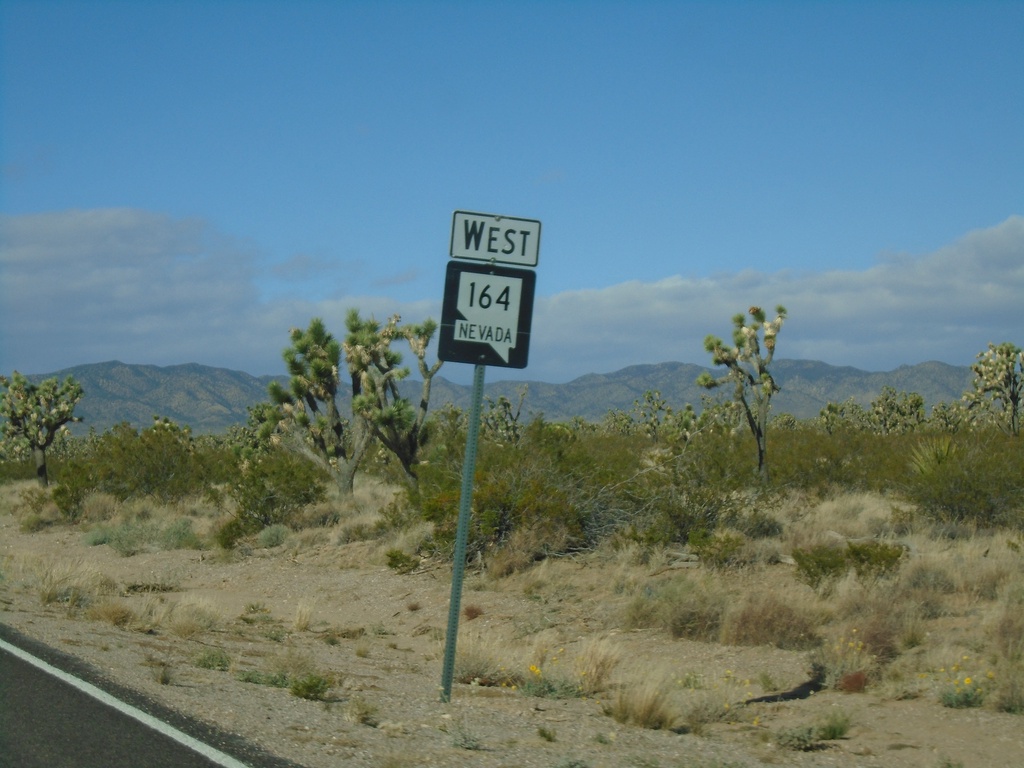
NV-164 West - Clark County
NV-164 west in Clark County. NV-164 between Searchlight and the California state line passes through a large Joshua Tree forest.
Taken 11-27-2019
 Searchlight
Clark County
Nevada
United States
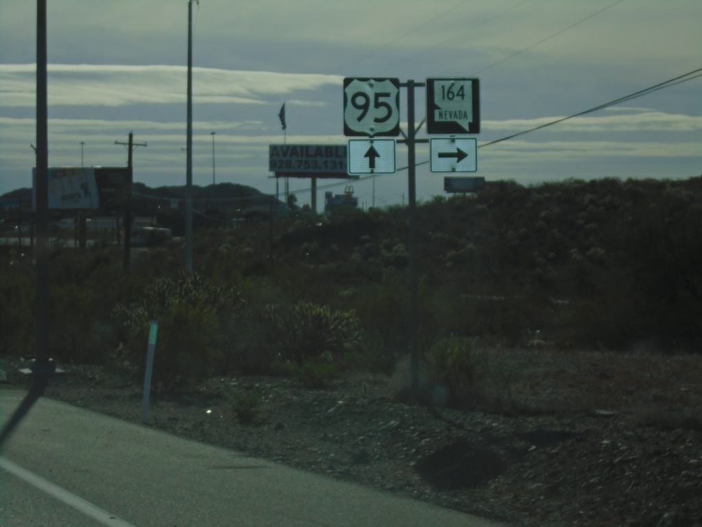
US-95 South Approaching NV-164
US-95 South approaching NV-164 in Searchlight.
Taken 11-27-2019

 Searchlight
Clark County
Nevada
United States
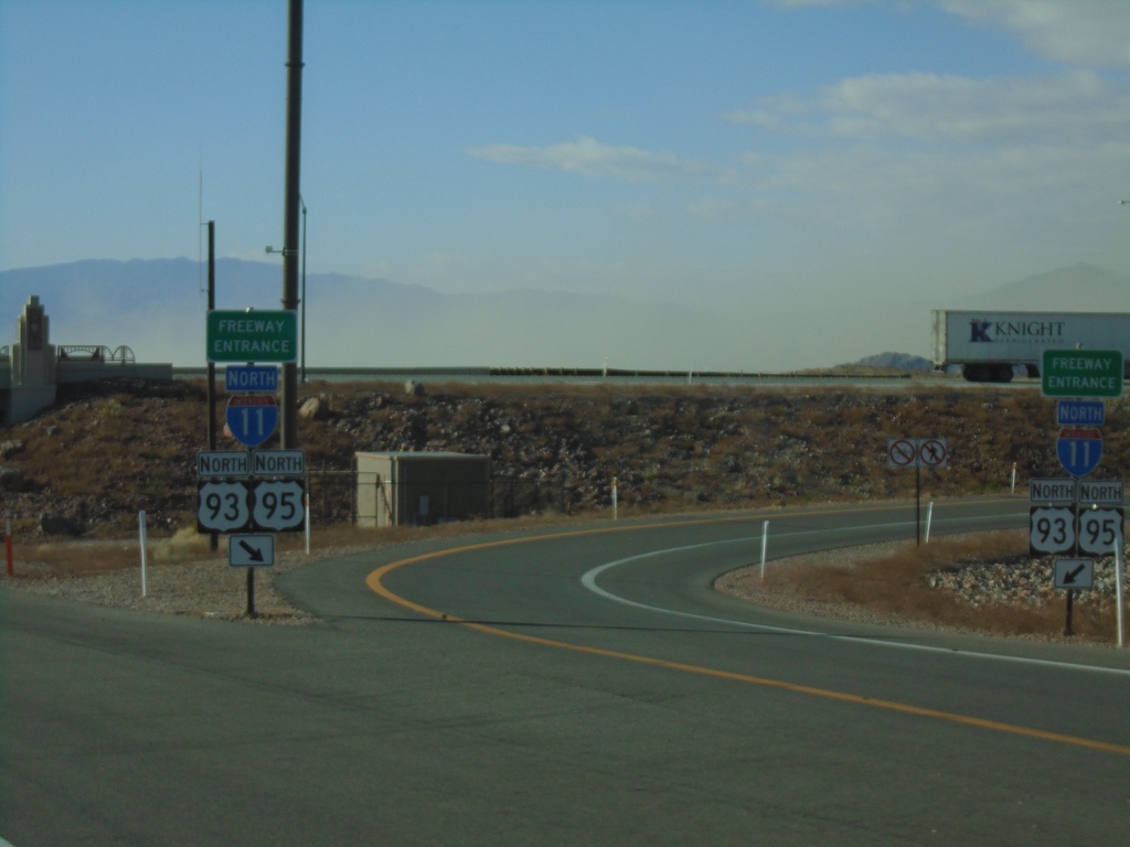
End NV-173 South at I-11/US-93/US-95 North
End NV-173 South at I-11/US-93/US-95 North (Exit 14) onramp. Roadway turns into US-95 southbound.
Taken 11-27-2019


 Boulder City
Clark County
Nevada
United States