Signs Tagged With Shield
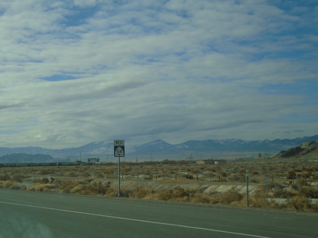
UT-58/BL-80 West - Wendover
UT-58/(BL-80 West) in Wendover
Taken 12-31-2020

 Wendover
Tooele County
Utah
United States
Wendover
Tooele County
Utah
United States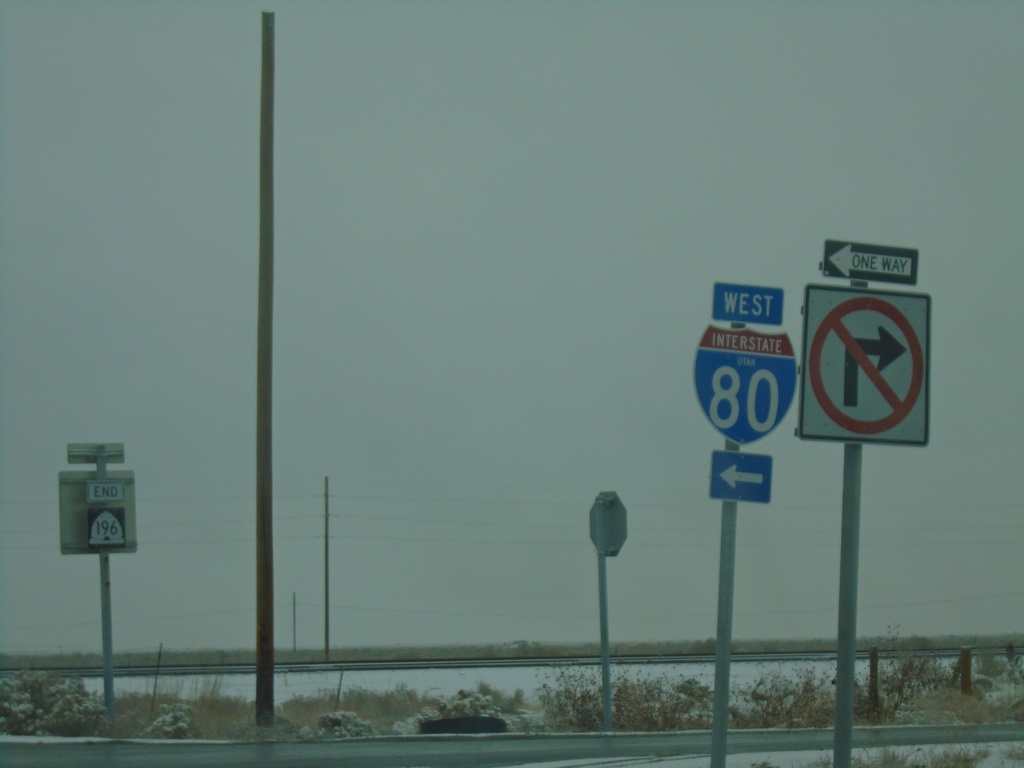
End UT-196 North at I-80 West (Exit 77)
End UT-196 North at I-80 West (Exit 77). End UT-196 shield in the background.
Taken 12-31-2020

 Skull Valley
Tooele County
Utah
United States
Skull Valley
Tooele County
Utah
United States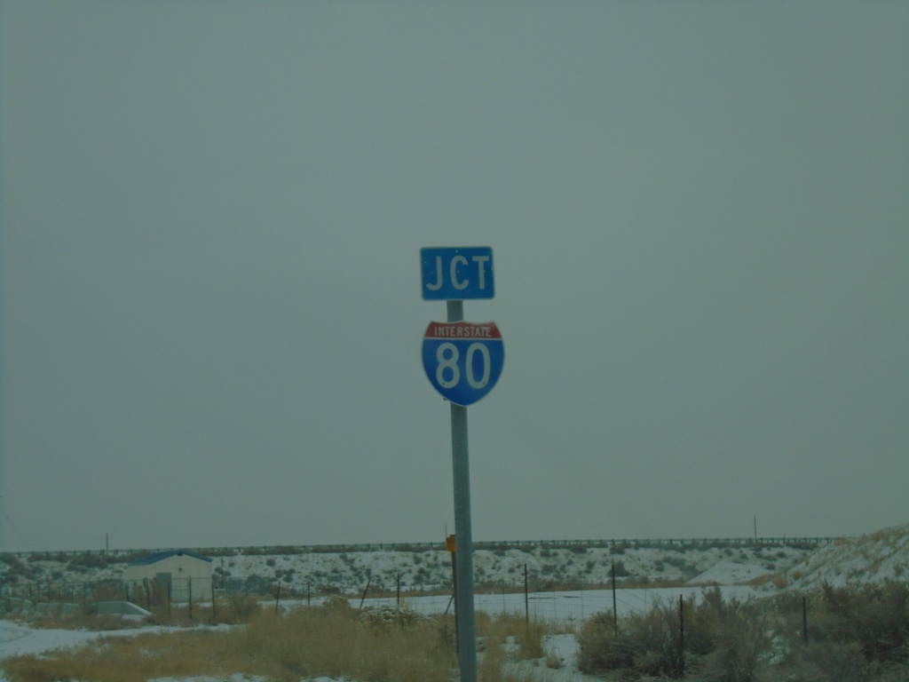
UT-196 North Approaching I-80
UT-196 North Approaching I-80 (Exit 77) in Tooele County.
Taken 12-31-2020
Skull Valley
Tooele County
Utah
United States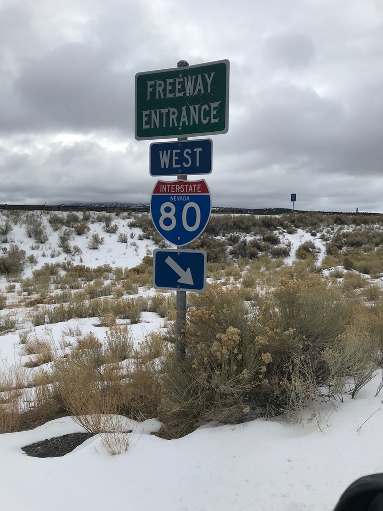
I-80 West (Exit 360) Onramp
I-80 West Onramp at Exit 360 in Elko County.
Taken 12-31-2020
 Moor
Elko County
Nevada
United States
Moor
Elko County
Nevada
United States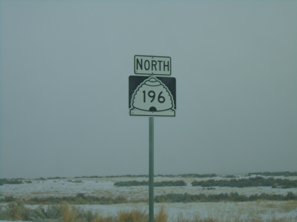
UT-196 North - Tooele County
UT-196 north in Tooele County.
Taken 12-31-2020
Dugway
Tooele County
Utah
United States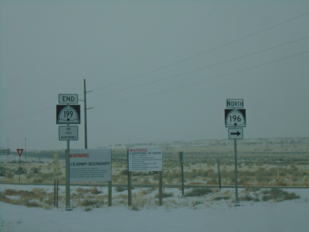
End UT-199 West at UT-196 North
End UT-199 West at UT-196 North at entrance to Dugway Proving Ground.
Taken 12-31-2020
 Dugway
Tooele County
Utah
United States
Dugway
Tooele County
Utah
United States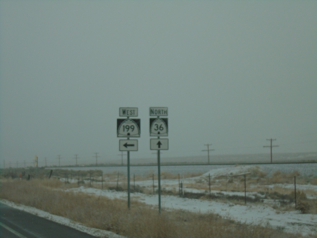
UT-36 North at UT-199 West
UT-36 North at UT-199 West in Tooele County.
Taken 12-31-2020
 Rush Valley
Tooele County
Utah
United States
Rush Valley
Tooele County
Utah
United States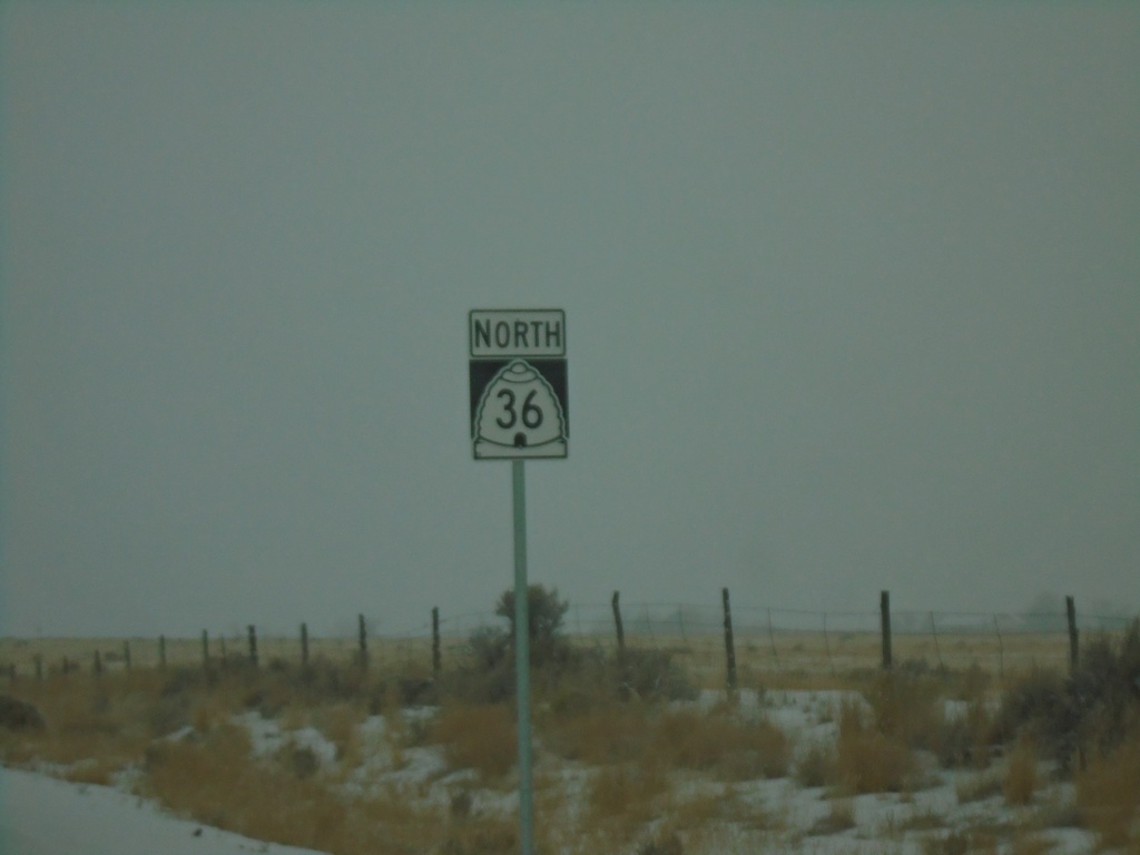
UT-36 North - Tooele County
UT-36 north in Tooele County.
Taken 12-31-2020
Vernon
Tooele County
Utah
United States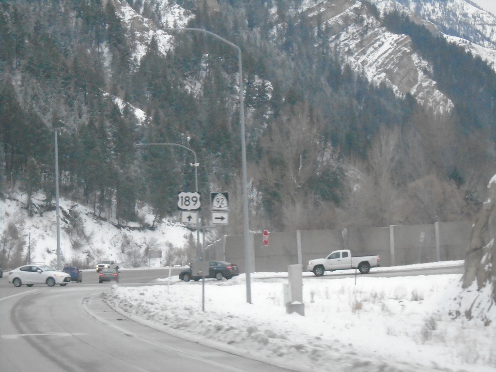
US-189 South at UT-92
US-189 South at UT-92 in Utah County
Taken 12-30-2020

 Provo
Utah County
Utah
United States
Provo
Utah County
Utah
United States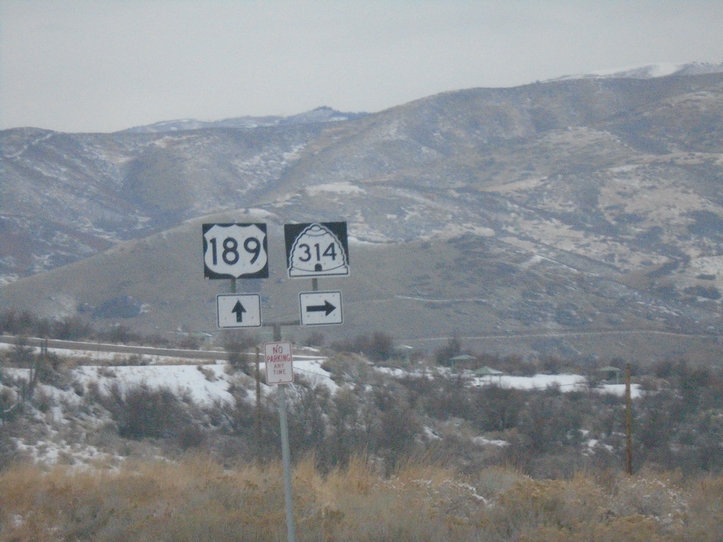
US-189 South at UT-314
US-189 South at UT-314 to Deer Creek State Park.
Taken 12-30-2020
 Wallsburg
Wasatch County
Utah
United States
Wallsburg
Wasatch County
Utah
United States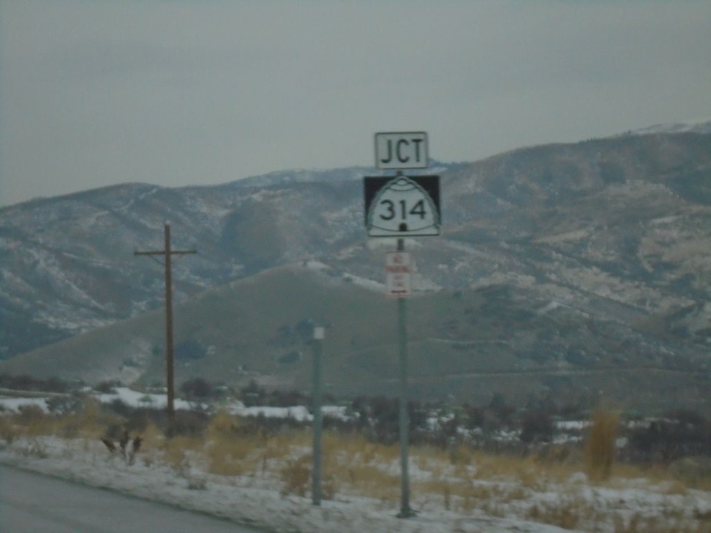
US-189 South Approaching UT-314
US-189 South approaching UT-314 in Wasatch County. UT-314 accesses Deer Creek State Park.
Taken 12-30-2020
Wallsburg
Wasatch County
Utah
United States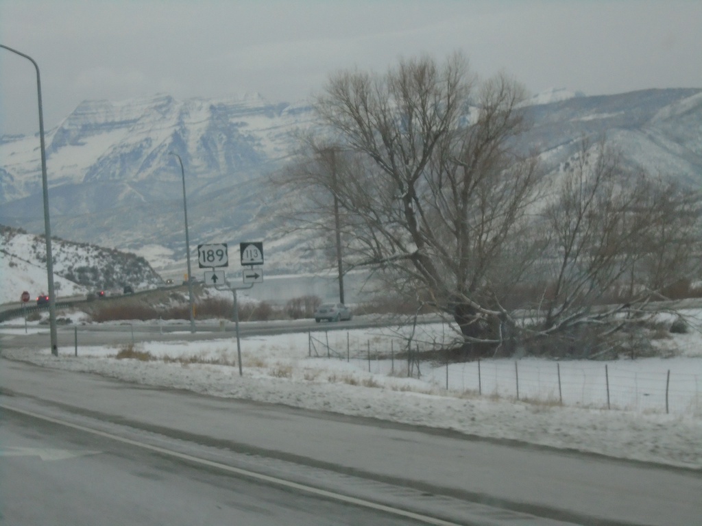
US-189 South Approaching UT-113
US-189 South approaching UT-113 North.
Taken 12-30-2020
 Heber City
Wasatch County
Utah
United States
Heber City
Wasatch County
Utah
United States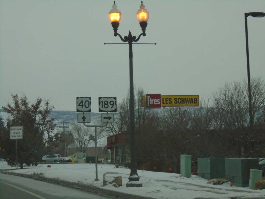
US-189 South/US-40 East at US-189/US-40 Split
US-189 South/US-40 East at US-189/US-40 split in Heber City.
Taken 12-30-2020
 Heber City
Wasatch County
Utah
United States
Heber City
Wasatch County
Utah
United States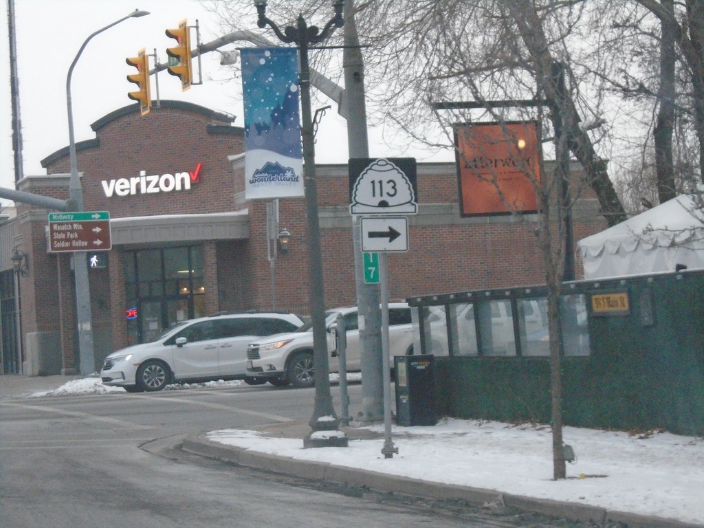
US-40 East/US-189 South - UT-113
US-40 East/US-189 South at UT-113 (100 S) in Heber City.
Taken 12-30-2020
Heber City
Wasatch County
Utah
United States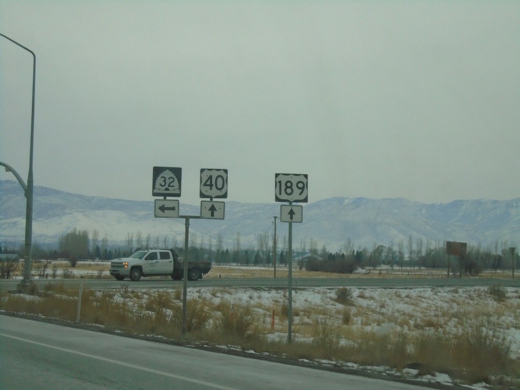
US-40 East/US-189 South at UT-32
US-40 East/US-189 South at UT-32 in Wasatch County
Taken 12-30-2020
 Heber City
Wasatch County
Utah
United States
Heber City
Wasatch County
Utah
United States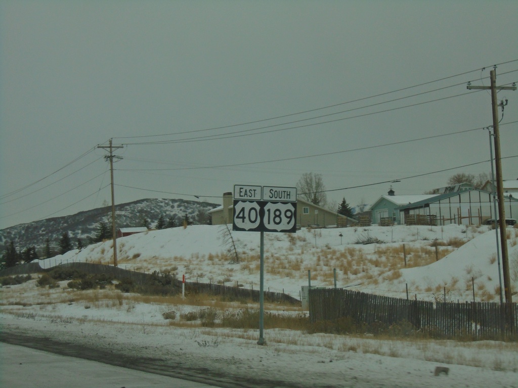
US-40 East/US-189 South - Summit County
First US-40 and US-189 shields eastbound in Summit County.
Taken 12-30-2020
Park City
Summit County
Utah
United States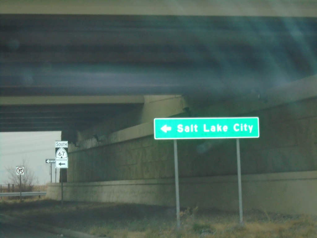
End UT-105 West at UT-67 South
End UT-105 West (Parrish Lane) at UT-67 South (Legacy Parkway) to Salt Lake City.
Taken 12-30-2020

 West Bountiful
Davis County
Utah
United States
West Bountiful
Davis County
Utah
United States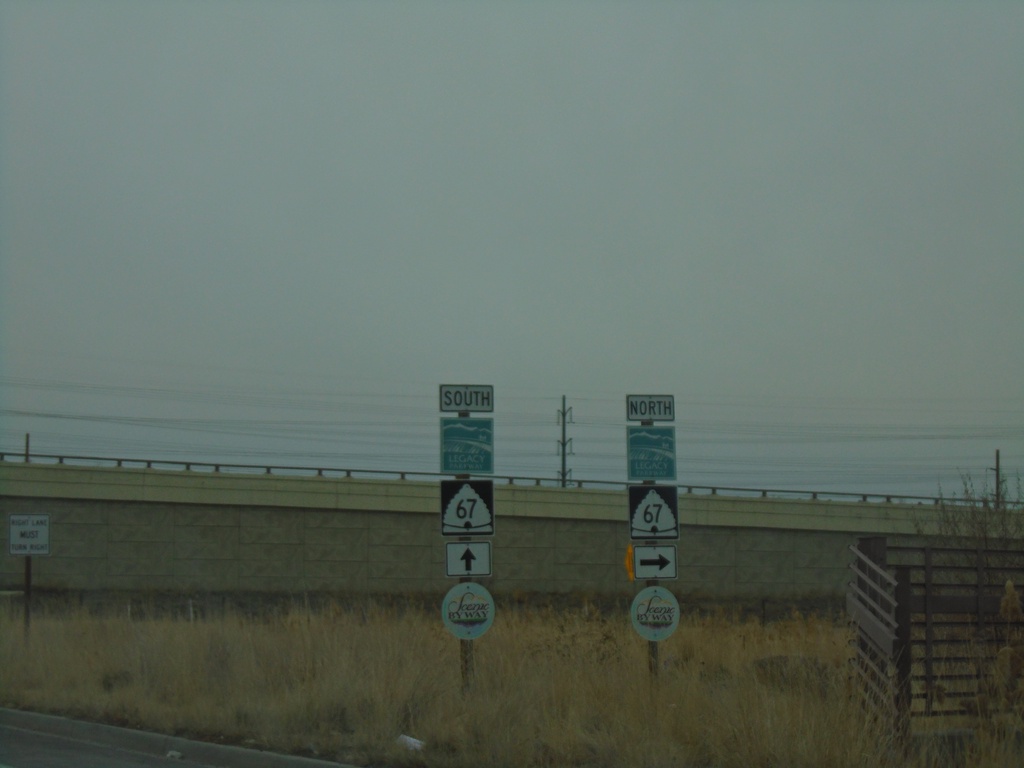
End UT-105 West at UT-67
End UT-105 West (Parrish Lane) at UT-67 (Legacy Parkway).
Taken 12-30-2020
Centerville
Davis County
Utah
United States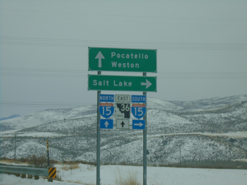
Deep Creek Road at I-15/ID-36 (Exit 17)
Deep Creek Road at I-15/ID-36 (Exit 17). Turn right for I-15 south to Salt Lake (Utah); continue over freeway for ID-36 East to Weston and for I-15 north to Pocatello.
Taken 12-30-2020

 Malad City
Oneida County
Idaho
United States
Malad City
Oneida County
Idaho
United States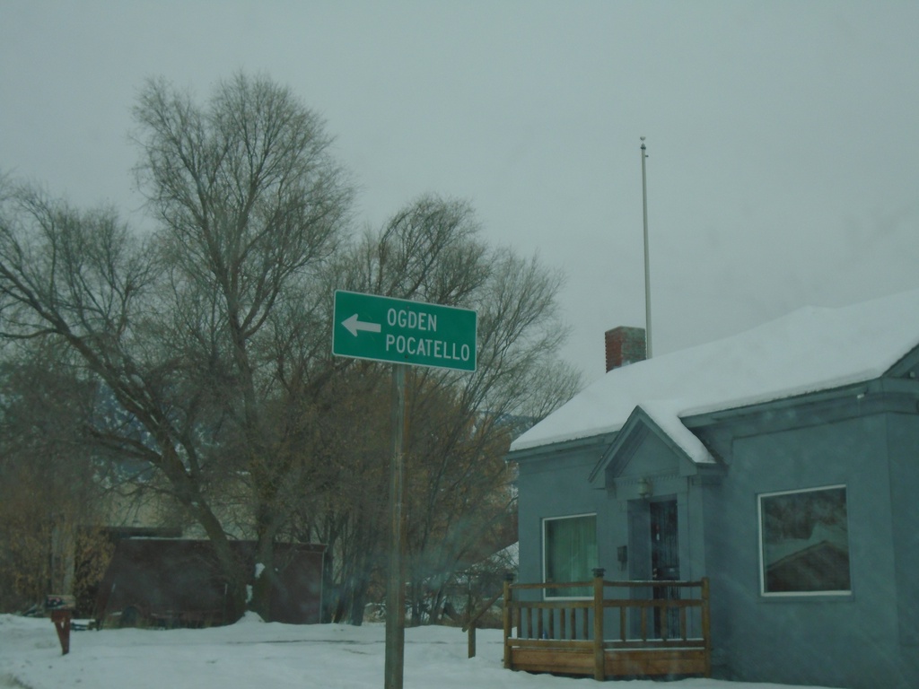
ID-38 East at South Main St.
ID-38 East (90 S) at South Main St. in Malad City. Turn left on S Main St to continue east on ID-38 and for I-15 to Ogden (UT) and Pocatello.
Taken 12-30-2020
 Malad City
Oneida County
Idaho
United States
Malad City
Oneida County
Idaho
United States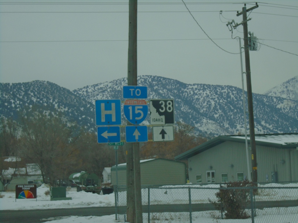
ID-38 East at 1st West - Malad City
ID-38 East at 1st West in Malad City. Turn left for Hospital - continue straight for ID-38 and I-15.
Taken 12-30-2020
Malad City
Oneida County
Idaho
United States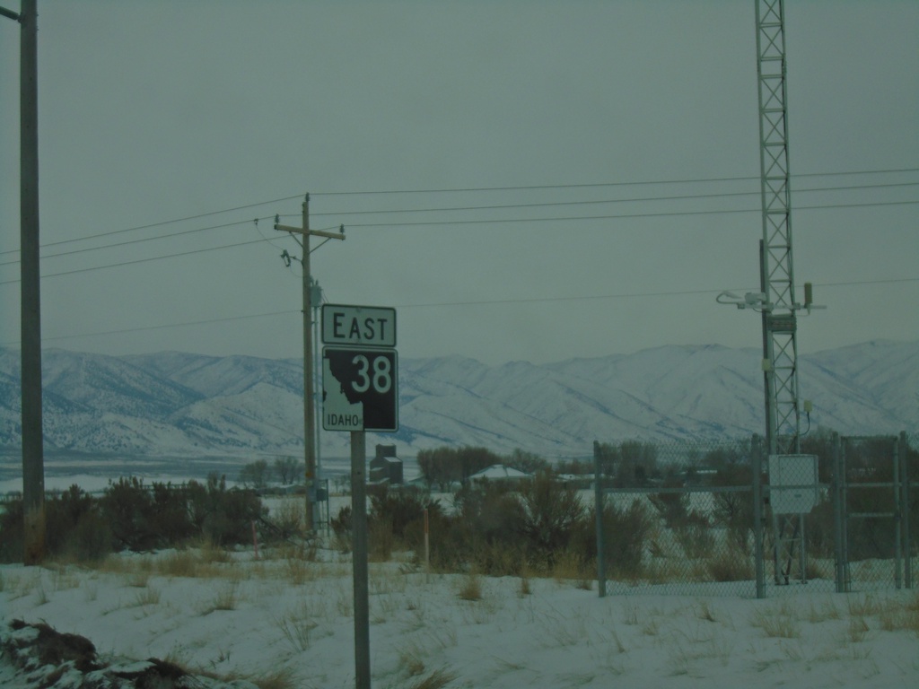
ID-38 East - Holbrook
ID-38 east in Holbrook. This is the first ID-38 shield eastbound.
Taken 12-30-2020
Holbrook
Oneida County
Idaho
United States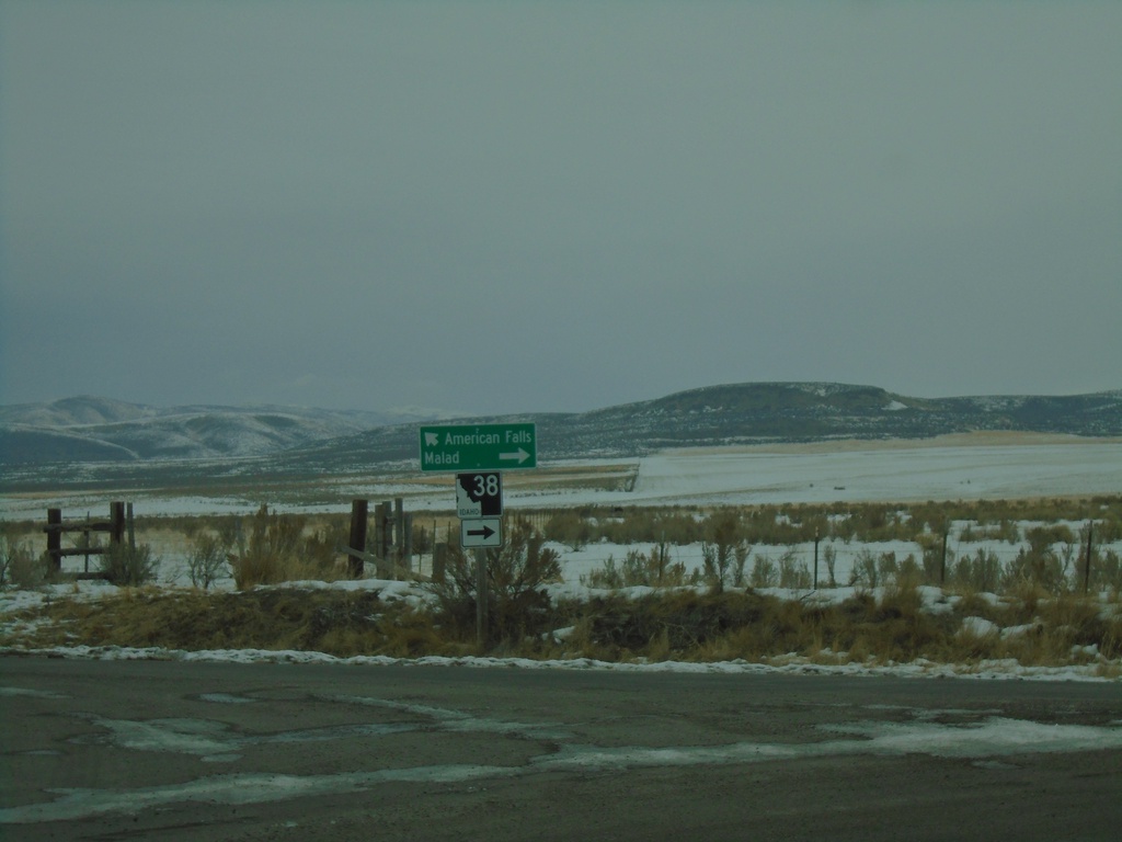
End 21000 West at ID-38 and Old Highway 37
End 21000 West at ID-38 and Old Highway 37 in Holbrook. Turn left for Old Highway 37 (to ID-37) and American Falls. Turn right for ID-38 to Malad.
Taken 12-30-2020
Holbrook
Oneida County
Idaho
United States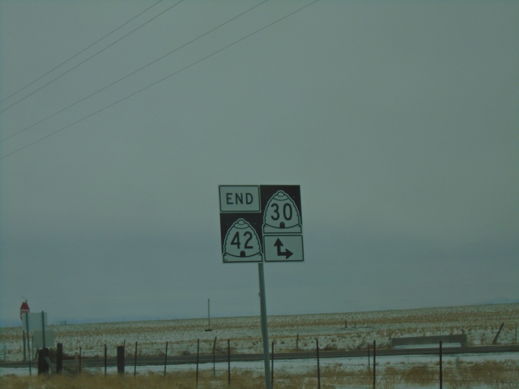
End UT-42 South at UT-30
End UT-42 South at UT-30 in Box Elder County.
Taken 12-30-2020

 Cedar Creek
Box Elder County
Utah
United States
Cedar Creek
Box Elder County
Utah
United States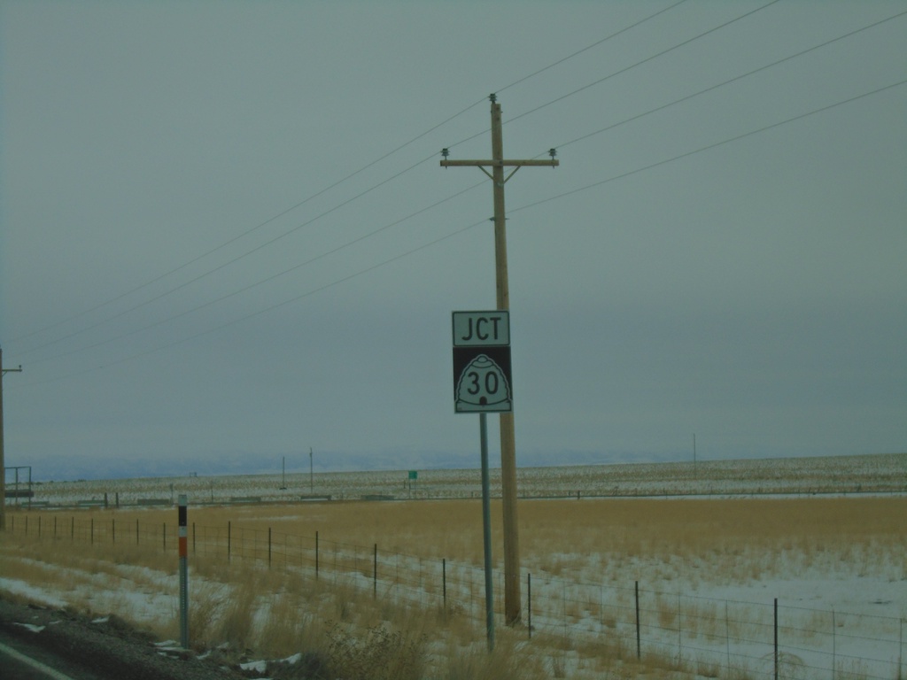
UT-42 South Approaching UT-30
UT-42 South approaching UT-30 in Box Elder County.
Taken 12-30-2020
Snowville
Box Elder County
Utah
United States