Signs Tagged With Shield
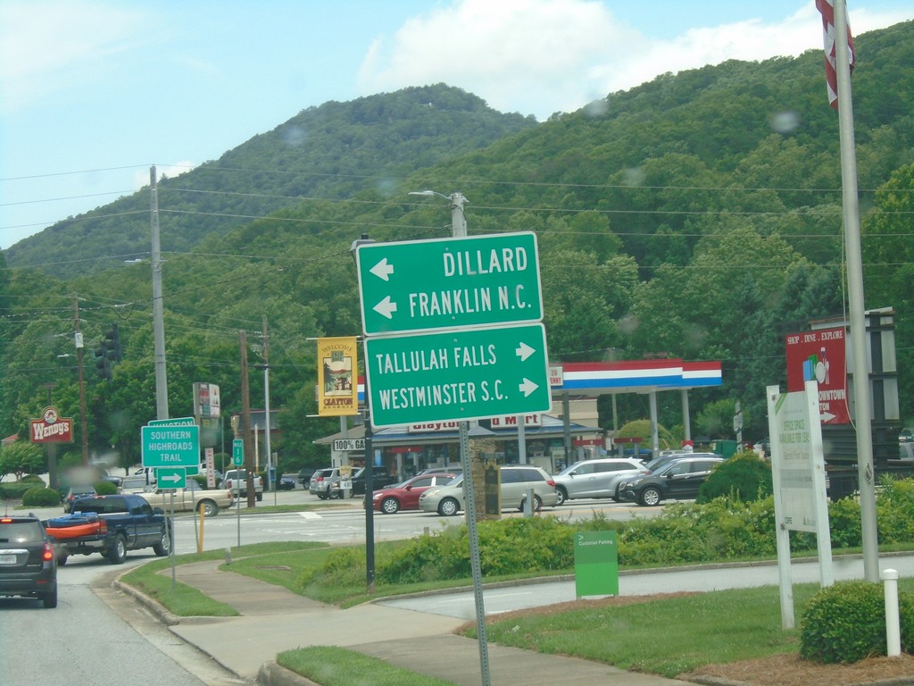
US-76/GA-2 East Approaching US-23/US-441/GA-15
US-76/GA-2 East Approaching US-23/US-441/GA-15 in Clayton. Use US-23/US-441/GA-15 north for Dillard and Franklin (NC). Use US-23/US-441/GA-15 South/US-76/GA-2 East to Tallulah Falls and Westminster (SC).
Taken 06-22-2019


 Clayton
Rabun County
Georgia
United States
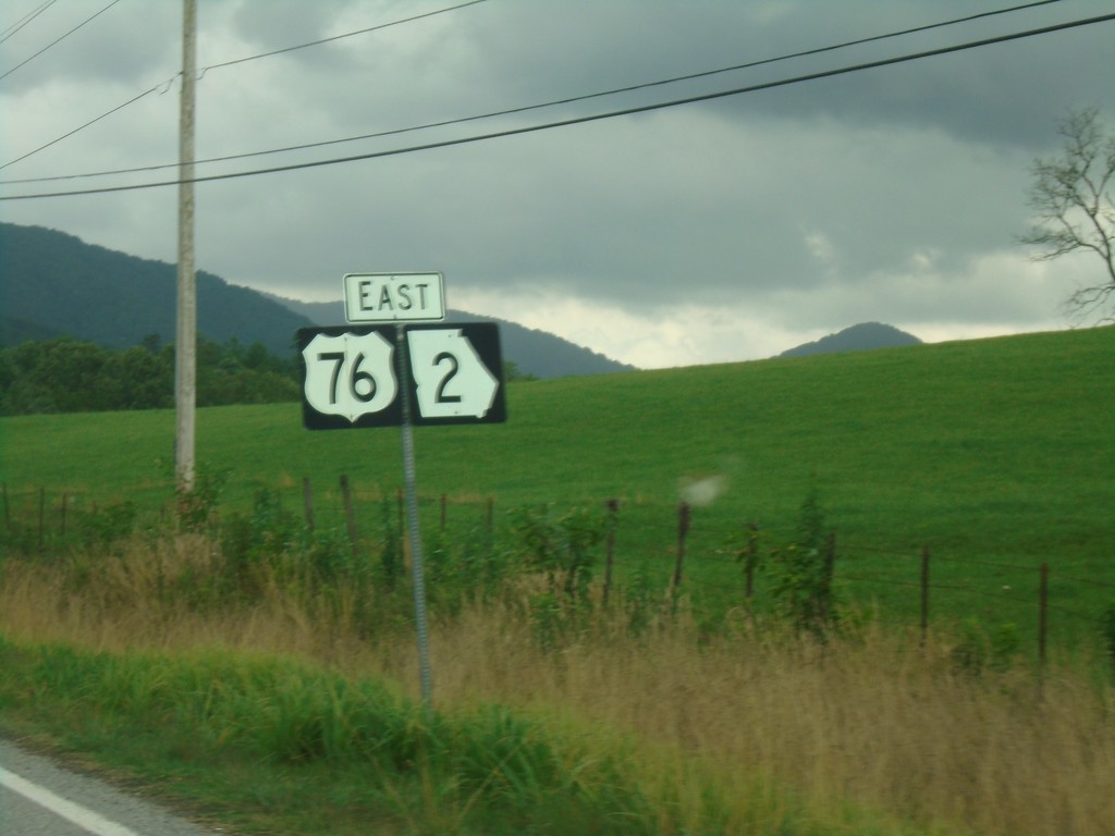
US-76 East/GA-2 East - Towns County
US-76 East/GA-2 East in Towns County
Taken 06-22-2019

 Hiawassee
Towns County
Georgia
United States
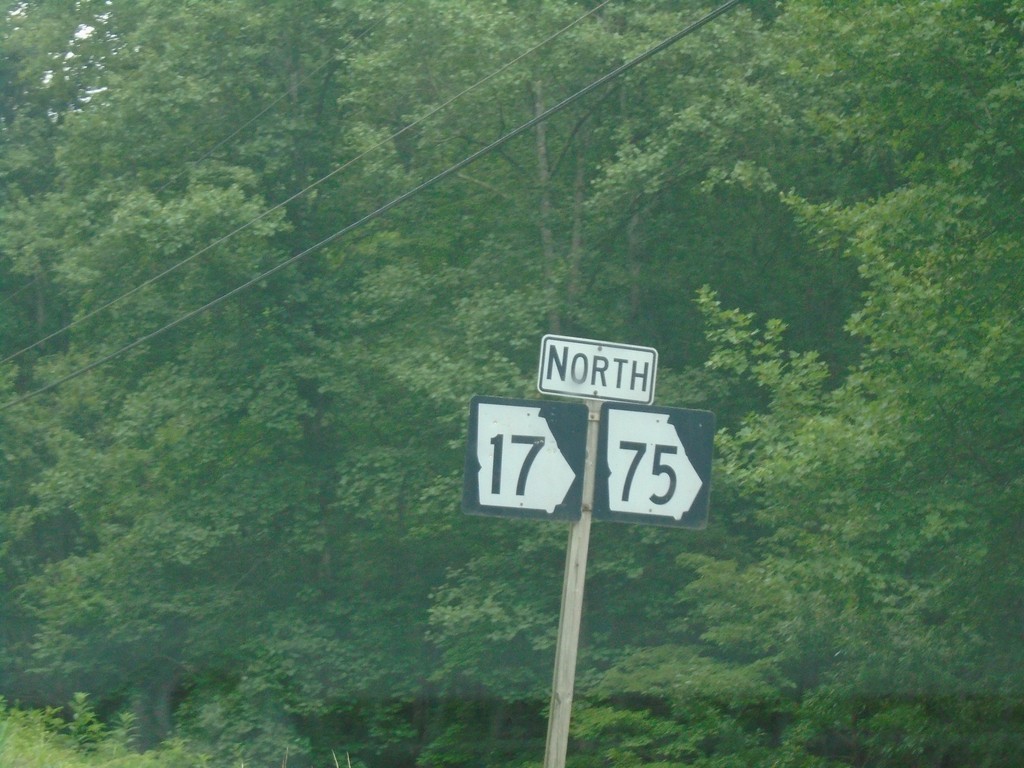
GA-17 North/GA-75 North - Towns County
GA-17 North/GA-75 North in Towns County
Taken 06-22-2019

 Hiawassee
Towns County
Georgia
United States
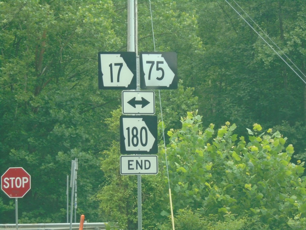
End GA-180 East at GA-17/GA-75
End GA-180 East at GA-17/GA-75 in Towns County.
Taken 06-22-2019


 Hiawassee
Towns County
Georgia
United States
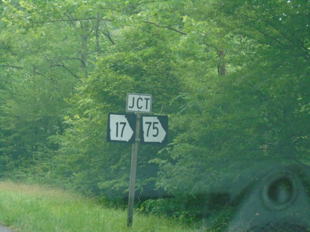
End GA-180 East at GA-17/GA-75
End GA-180 East at GA-17/GA-75 in Towns County.
Taken 06-22-2019


 Hiawassee
Towns County
Georgia
United States
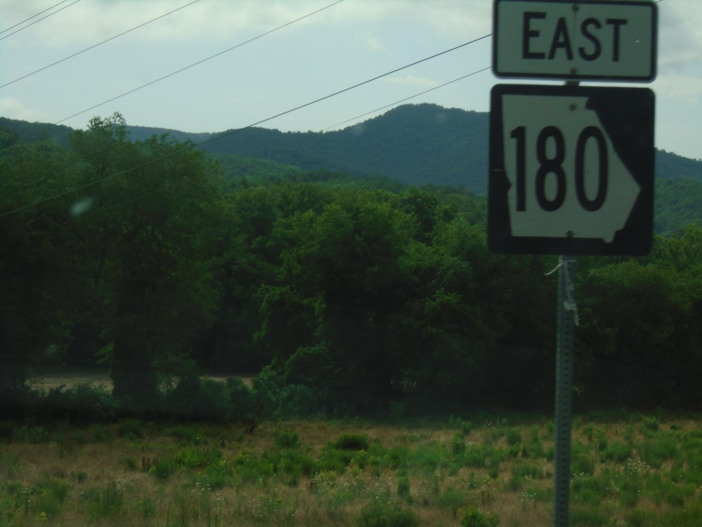
GA-180 East - Union County
GA-180 East in Union County.
Taken 06-22-2019
 Blairsville
Union County
Georgia
United States
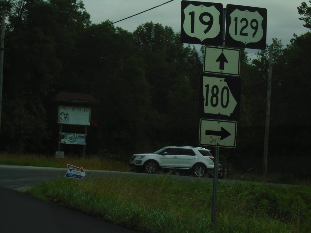
US-19/US-129/GA-11 North/GA-180 East at GA-180
US-19/US-129/GA-11 North/GA-180 East at GA-180 junction. Turn right to continue east on GA-180.
Taken 06-22-2019


 Blairsville
Union County
Georgia
United States
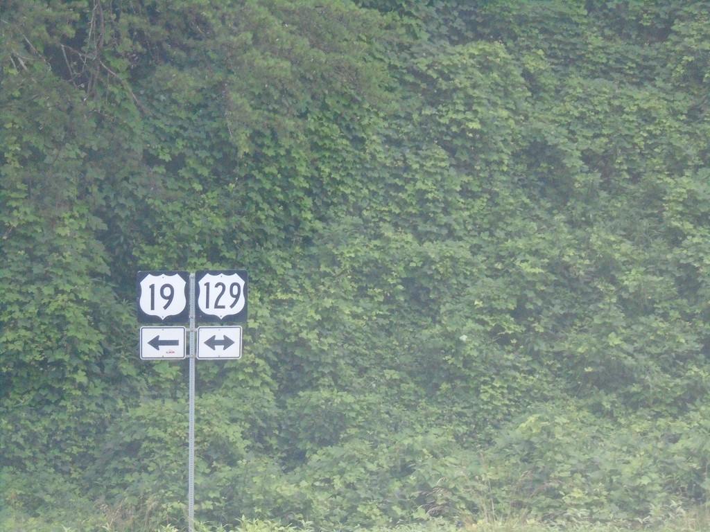
US-19/GA-9 North at US-129/GA-11 - Lumpkin County
US-19/GA-9 North at US-129 in Lumpkin County. Turn left for US-19/US-129/GA-11 North; right for US-129/GA-11 south. GA-9 north ends here.
Taken 06-22-2019


 Cleveland
Lumpkin County
Georgia
United States
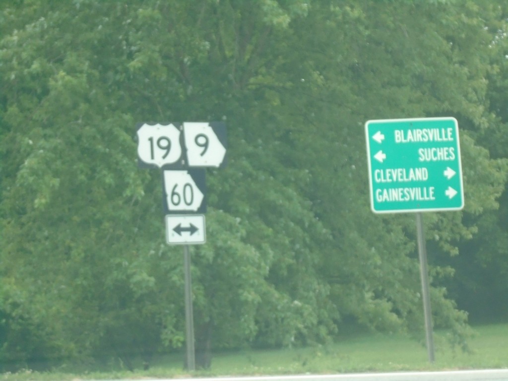
End Bus. US-19 at US-19/GA-60/GA-9 - Dahlonega
End Bus. US-19 at US-19/GA-60/GA-9 in Dahlonega. Turn right for US-19/GA-60/GA-9 South to Gainsville and Cleveland. Turn left for US-19/GA-60/GA-9 North to Blairsville and Suches.
Taken 06-22-2019


 Dahlonega
Lumpkin County
Georgia
United States
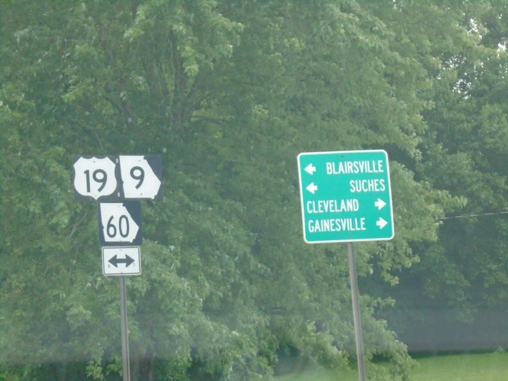
End Bus. US-19 at US-19/GA-60/GA-9 - Dahlonega
End Bus. US-19 at US-19/GA-60/GA-9 in Dahlonega. Turn right for US-19/GA-60/GA-9 South to Gainsville and Cleveland. Turn left for US-19/GA-60/GA-9 North to Blairsville and Suches.
Taken 06-22-2019


 Dahlonega
Lumpkin County
Georgia
United States
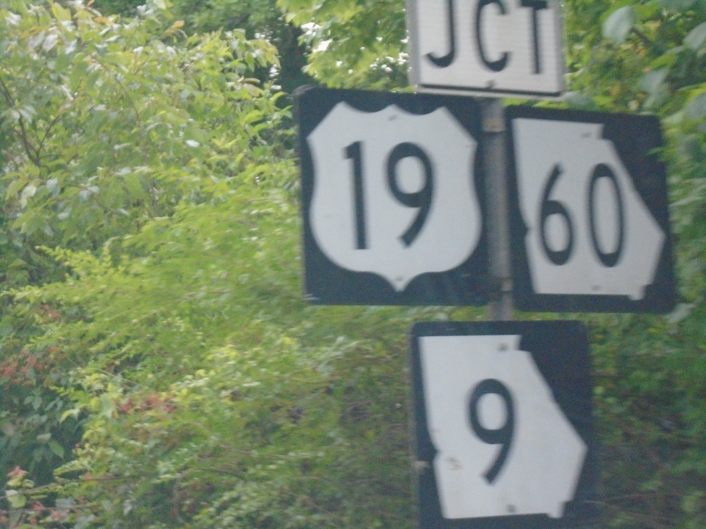
US-19/GA-60 North at GA-9 - Dahlonega
US-19/GA-60 North at GA-9 in Dahlonega. GA-9 north joins US-19/GA-60 north to Turners Corner.
Taken 06-22-2019


 Dahlonega
Lumpkin County
Georgia
United States
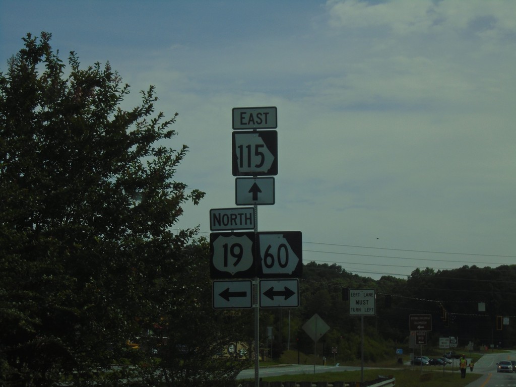
US-19/GA-400 North at GA-115 and GA-60
US-19/GA-400 North at GA-115 and GA-60 in Lumpkin County. GA-400 north ends here. Turn left for US-19 North/GA-60 North; right for GA-60 south. Continue straight for GA-115 East.
Taken 06-22-2019


 Dahlonega
Lumpkin County
Georgia
United States
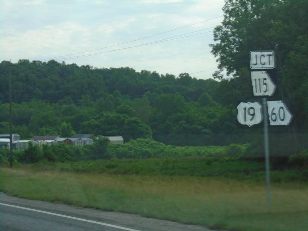
US-19 North/GA-400 North Approaching GA-115 and GA-60
US-19 North/GA-400 North approaching GA-115 and GA-60 in Lumpkin County. US-19 North joins GA-60 north through Dahlonega.
Taken 06-22-2019


 Dahlonega
Lumpkin County
Georgia
United States
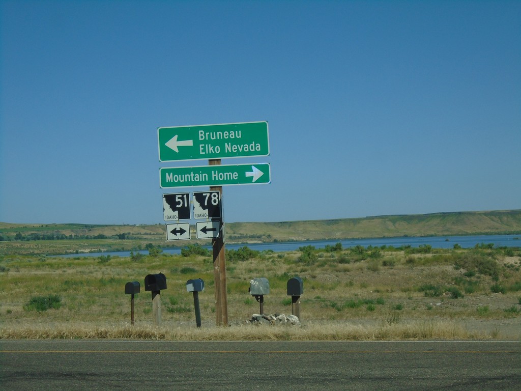
ID-78 West at ID-51
ID-78 west at ID-51. Use ID-51 north for Mountain Home. Use ID-51 South/ID-78 West for Bruneau and Elko, Nevada.
Taken 06-15-2019

 Bruneau
Owyhee County
Idaho
United States
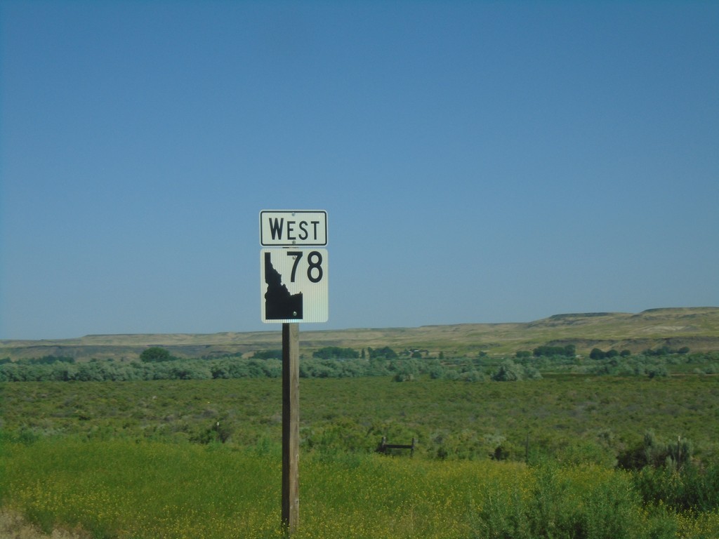
ID-78 West - Owyhee County
ID-78 west in Owyhee County. The ID-78 shield here is the new style of shields used on guide signs that have been appearing around the state. It appears the incorrect type of state highway shield was used here.
Taken 06-15-2019
 Mountain Home
Owyhee County
Idaho
United States
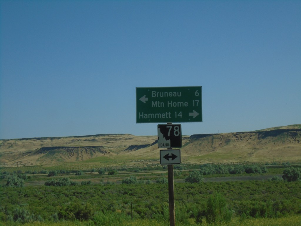
Bruneau Dunes State Park Road at ID-78
Bruneau Dunes State Park Road at ID-78 in Owyhee County. Turn right for ID-78 east to Hammett; turn left for ID-78 west to Mountain Home and Bruneau.
Taken 06-15-2019
 Bruneau
Owyhee County
Idaho
United States
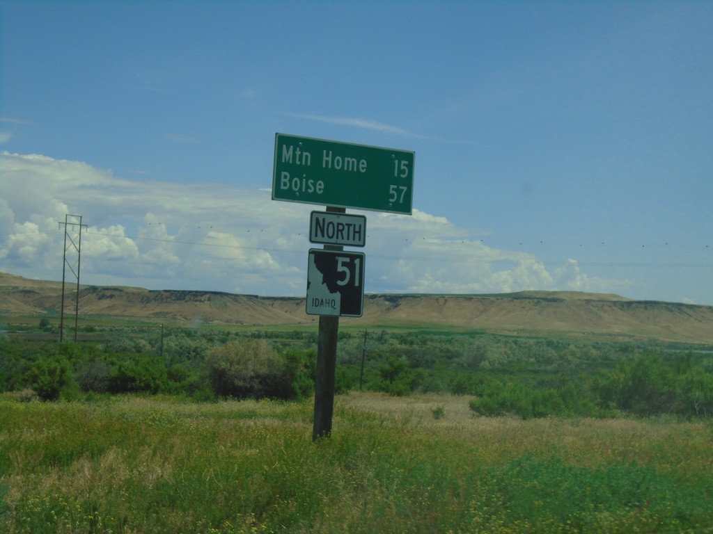
ID-51 North - Distance Marker
Distance marker on ID-51 north to Mountain Home and Boise.
Taken 06-01-2019
 Bruneau
Owyhee County
Idaho
United States
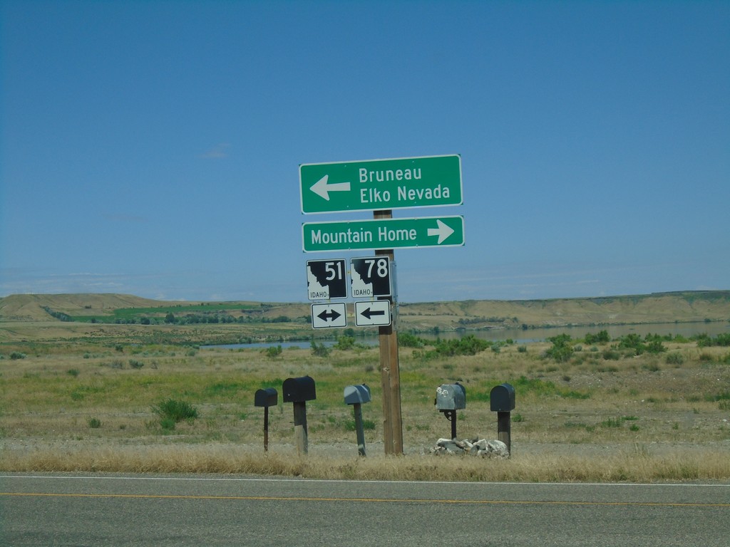
ID-78 West at ID-51
ID-78 west at ID-51. Use ID-51 north for Mountain Home. Use ID-51 South/ID-78 West for Bruneau and Elko, Nevada.
Taken 06-01-2019

 Bruneau
Owyhee County
Idaho
United States
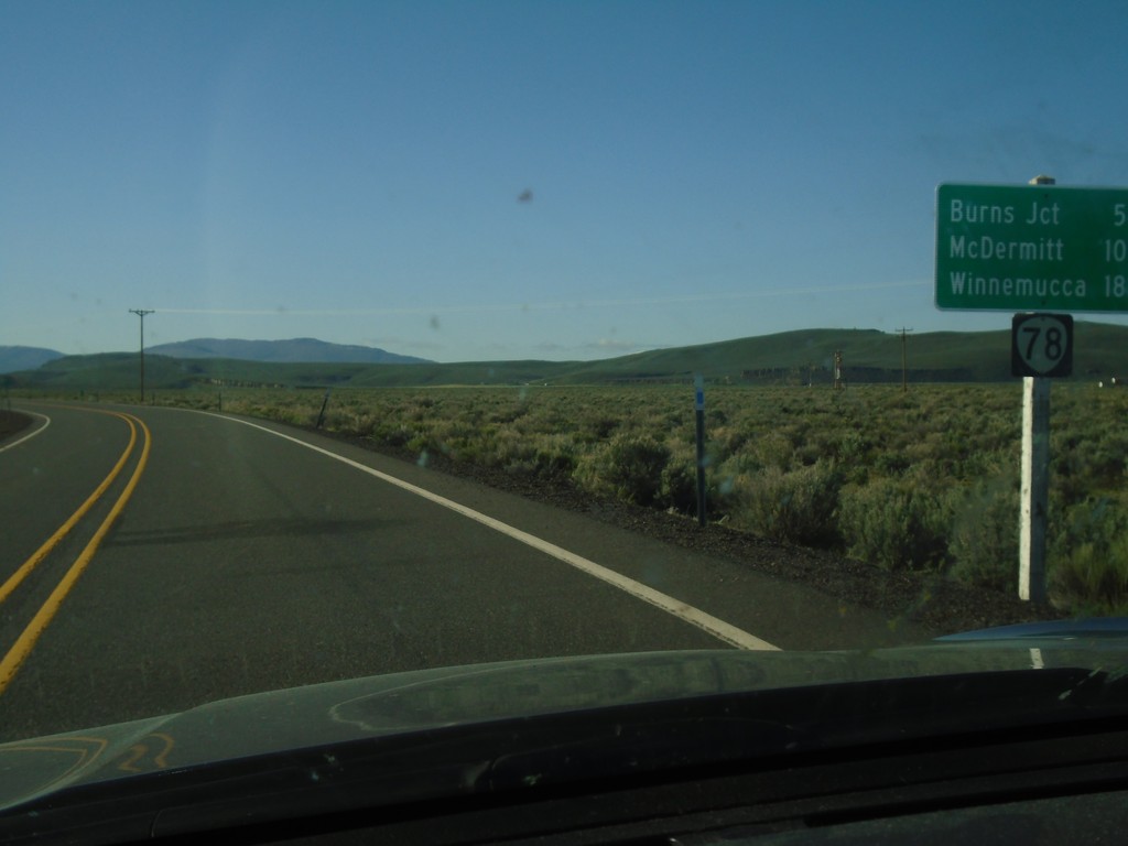
OR-78 East - Distance Marker
Distance marker on OR-78 east. Distance to Burns Jct., McDermitt (via US-95) and Winnemucca (Nevada via US-95).
Taken 04-28-2019
 Princeton
Harney County
Oregon
United States
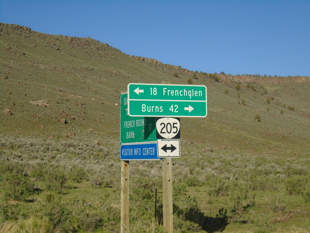
Diamond-Grain Camp Rd at OR-205
End CR-409 at OR-205 to Frenchglen and Burns
Taken 04-28-2019
 Diamond
Harney County
Oregon
United States
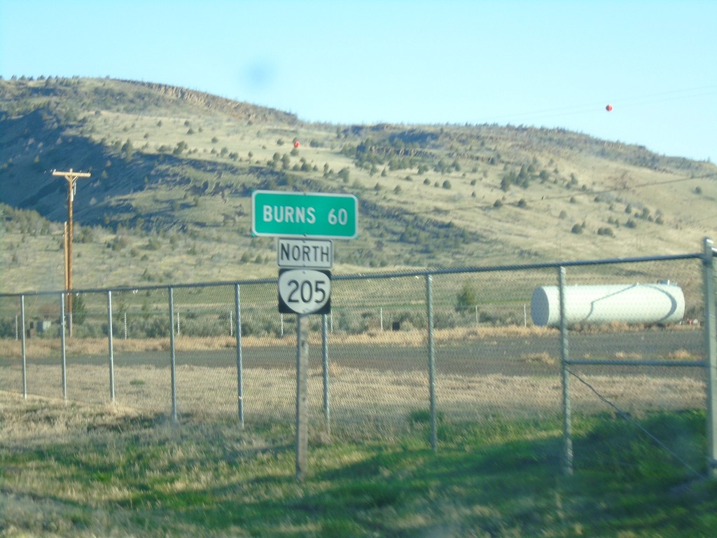
OR-205 North - Distance Marker
Distance marker on OR-205 north. Distance to Burns.
Taken 04-28-2019
 Harney County
Oregon
United States
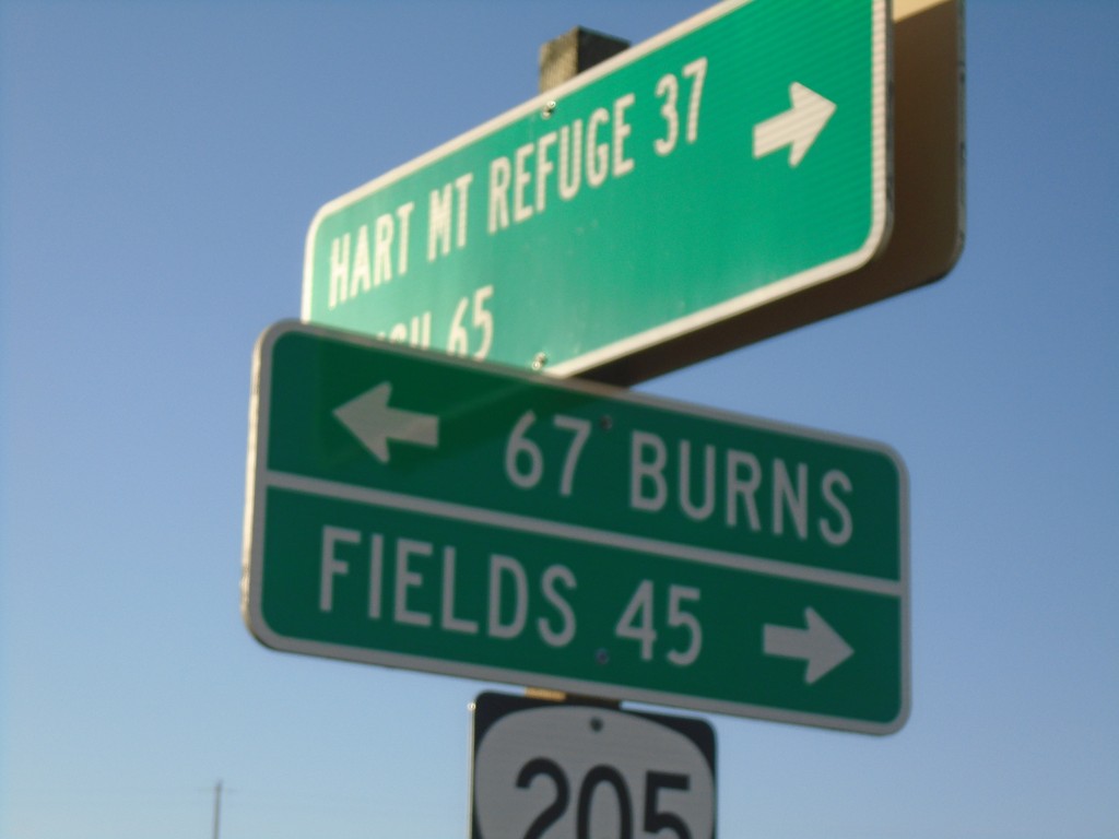
End Rock Creek Road at OR-205
End Rock Creek Road at OR-205 in Harney County. Turn right for Fields; left for Burns. Use Rock Creek Road for Hart Mountain Refuge and Plush.
Taken 04-28-2019
 Harney County
Oregon
United States
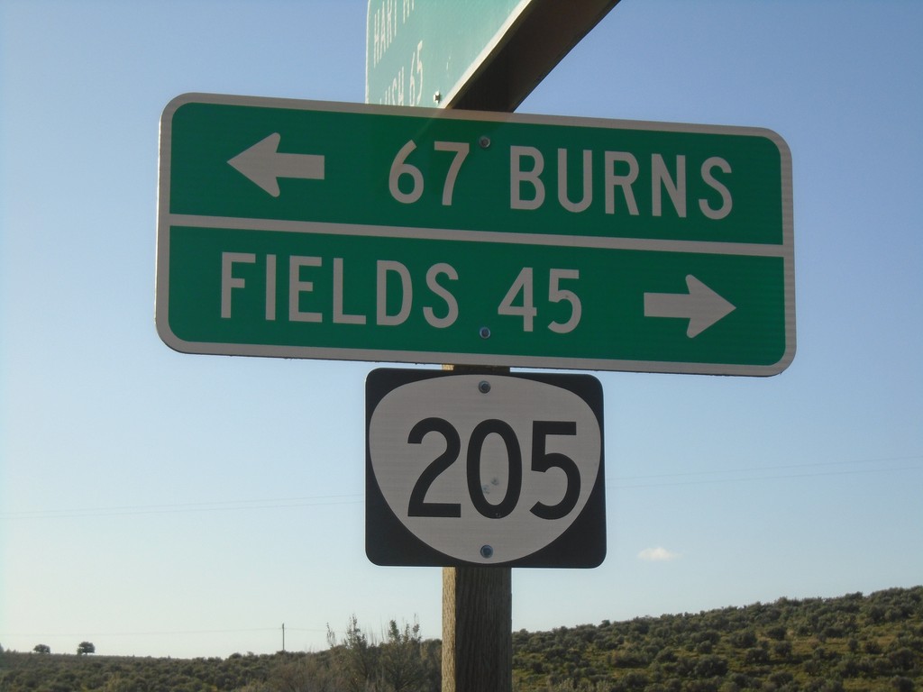
End Rock Creek Road at OR-205
End Rock Creek Road at OR-205 in Harney County. Turn right for Fields; left for Burns.
Taken 04-28-2019
 Harney County
Oregon
United States
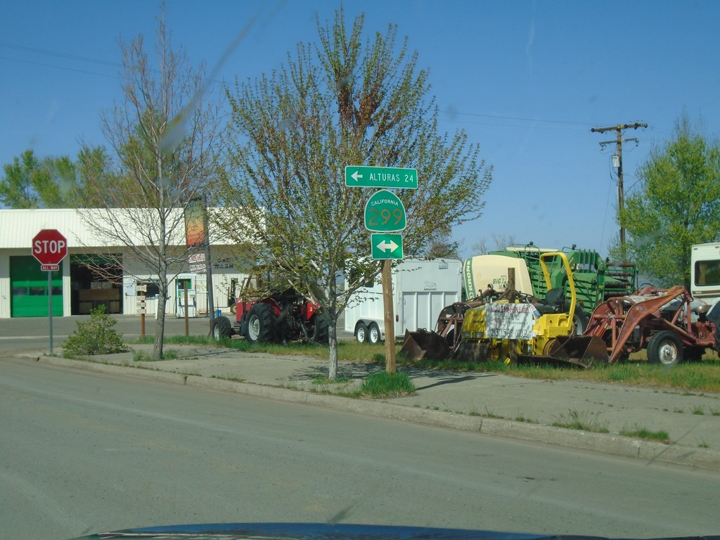
CH-1 (Main St.) at CA-299 - Cedarville
CH-1 (Main St.) at CA-299 in Cedarville. Turn left for CA-299 west to Alturas.
Taken 04-27-2019

 Alturas
Modoc County
California
United States
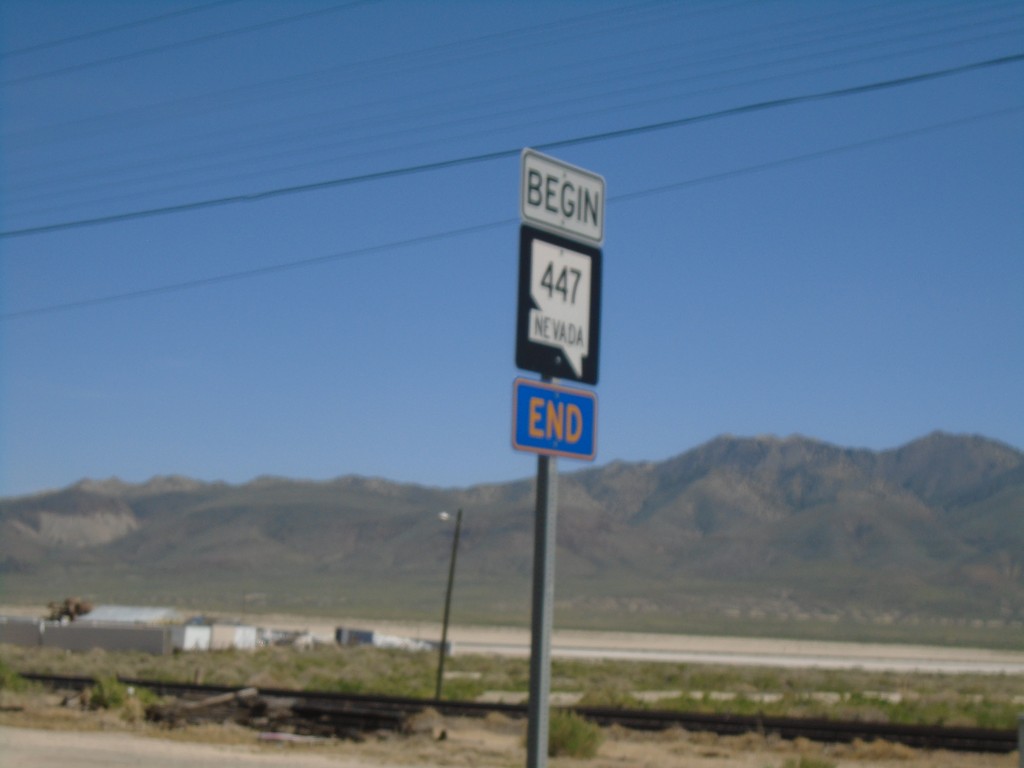
Begin NV-447 - Gerlach
Begin NV-447 South in Gerlach. Washoe County 447 ends here.
Taken 04-27-2019

 Gerlach
Washoe County
Nevada
United States