Signs Tagged With Shield
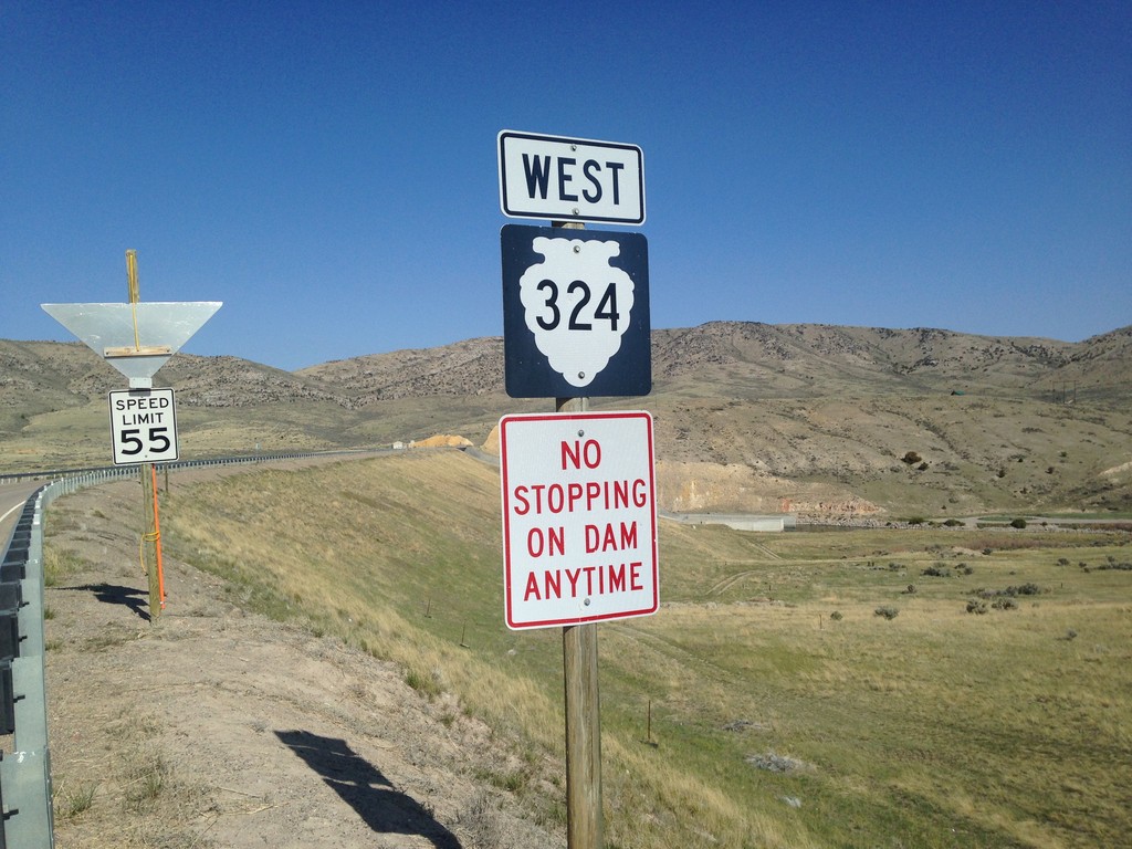
MTS-324 West - Beaverhead County
MTS-324 West - Beaverhead County
Taken 05-10-2015
 Dillon
Beaverhead County
Montana
United States
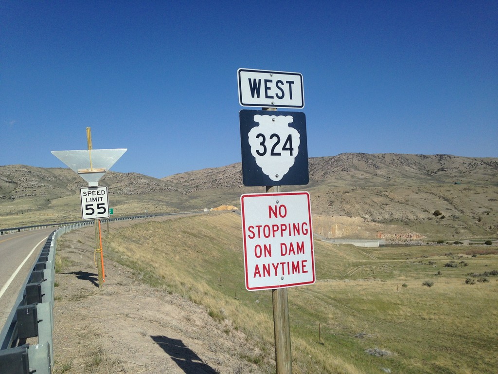
MTS-324 West - Beaverhead County
MTS-324 West - Beaverhead County
Taken 05-10-2015
 Dillon
Beaverhead County
Montana
United States
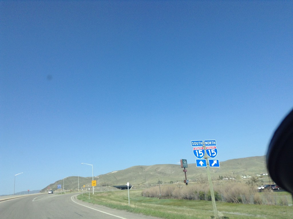
End BL-15 North at I-15
End BL-15 North at I-15. Merge right for I-15 north; left for I-15 south.
Taken 05-10-2015

 Dillon
Beaverhead County
Montana
United States
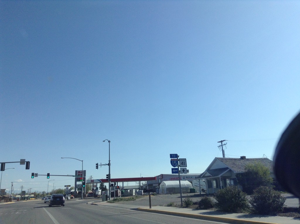
BL-15 North at MT-41 - Dillon
BL-15 North at MT-41 in Dillon. Turn left for BL-15 (To I-15); straight for MT-41.
Taken 05-10-2015


 Dillon
Beaverhead County
Montana
United States
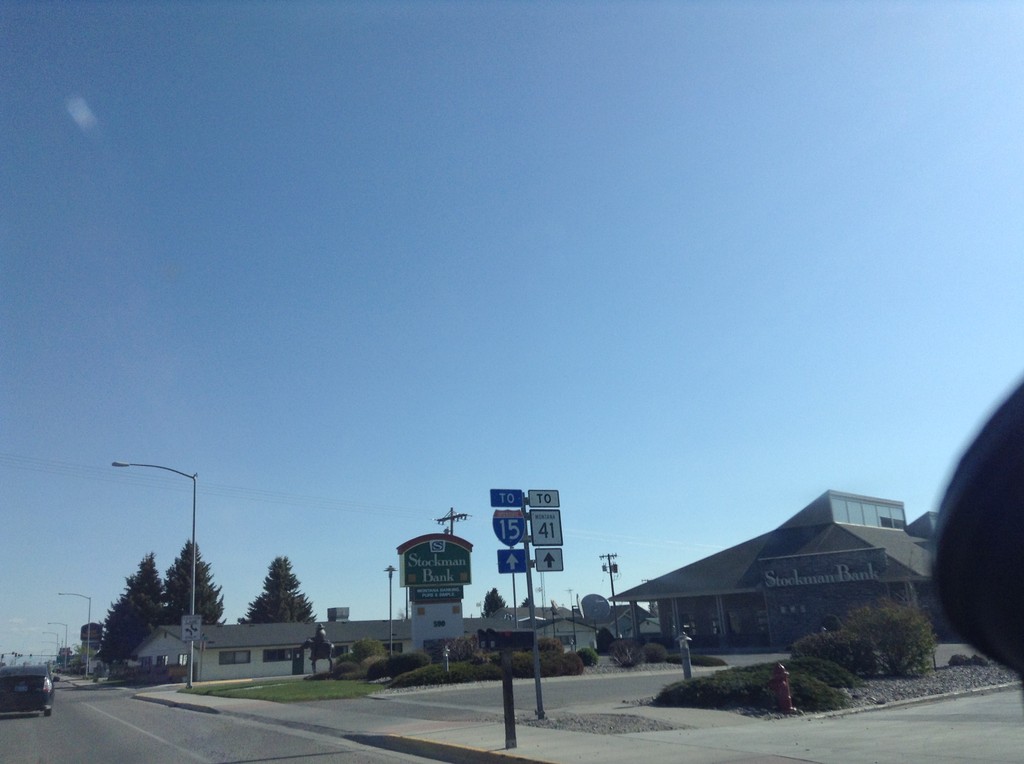
BL-15 North - To I-15/To MT-41
BL-15 North - To I-15/To MT-41 in Dillon.
Taken 05-10-2015


 Dillon
Beaverhead County
Montana
United States
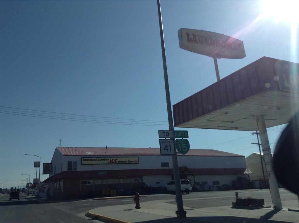
BL-15 North/To MT-41 - Dillon
BL-15 North/To MT-41 on Montana St. in Dillon.
Taken 05-10-2015

 Dillon
Beaverhead County
Montana
United States
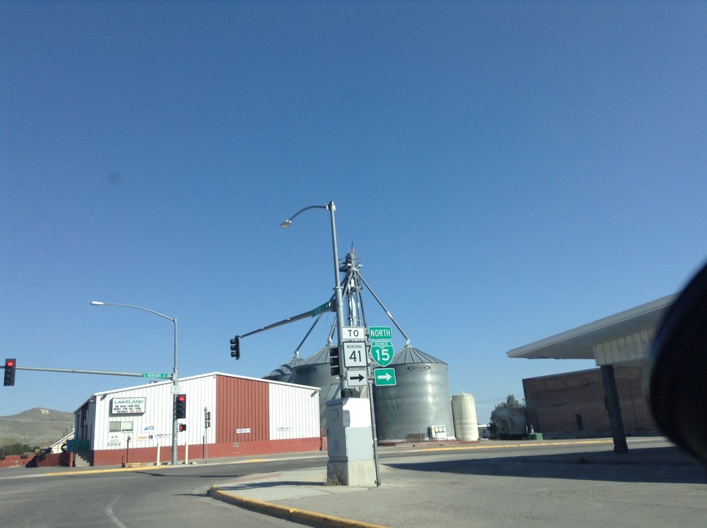
BL-15 North/To MT-41 - Dillon
BL-15 North/To MT-41 on Helena St. at Montana St. Turn left on Montana St. to continue north on BL-15.
Taken 05-10-2015

 Dillon
Beaverhead County
Montana
United States
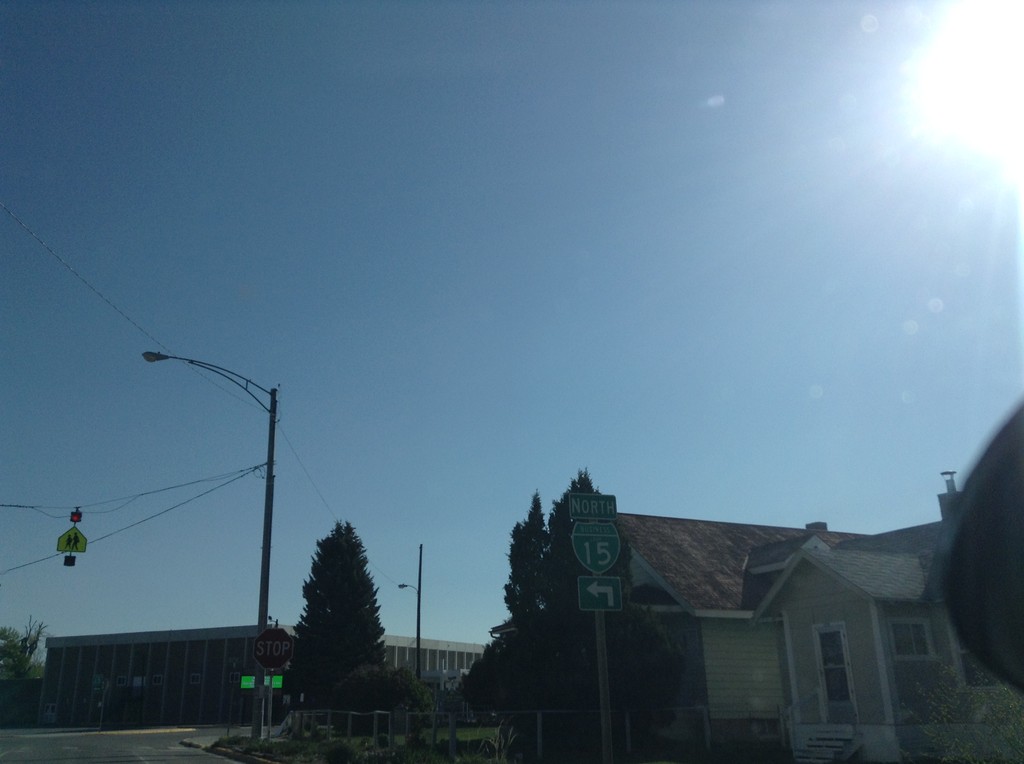
BL-15 North - Dillon
BL-15 North (Atlantic St.) at Helena St. Turn left on Helena St. to continue north on BL-15.
Taken 05-10-2015
 Dillon
Beaverhead County
Montana
United States
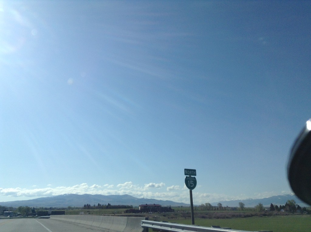
BL-15 North - Dillon
BL-15 north in Dillon, Montana.
Taken 05-10-2015
 Dillon
Beaverhead County
Montana
United States
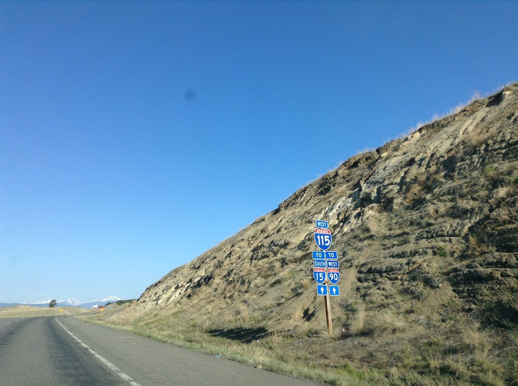
I-115 West - Butte
I-115 West/To I-15/To I-90 in Butte.
Taken 05-10-2015


 Butte
Silver Bow County
Montana
United States
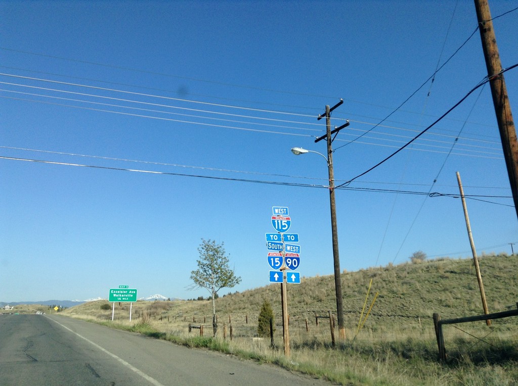
Begin I-115 West
Begin I-115 west, To I-90 and I-15.
Taken 05-10-2015


 Butte
Silver Bow County
Montana
United States
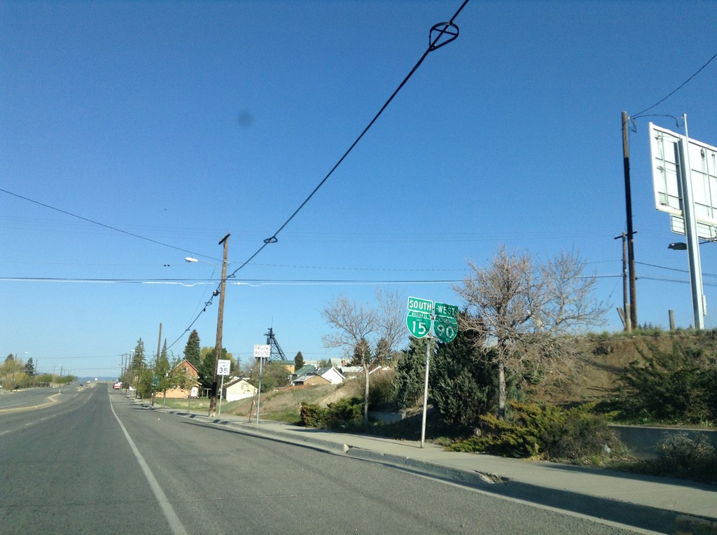
BL-15 South/BL-90 West - Butte
BL-15 South/BL-90 West on Montana Ave. in Butte.
Taken 05-10-2015

 Butte
Silver Bow County
Montana
United States
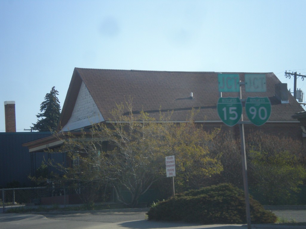
BL-15 South/BL-90 West (Montana St.) Approaching Iron St.
BL-15 South/BL-90 West (Montana St.) Approaching Iron St (BL-15/BL-90) which leads into I-115.
Taken 05-10-2015

 Butte
Silver Bow County
Montana
United States
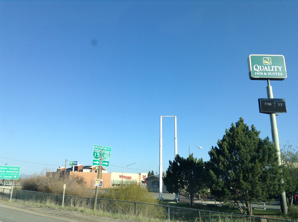
I-15 South/I-90 West - BL-15/BL-90/MT-2 Jct
I-15 South/I-90 West offramp at BL-15/BL-90/MT-2 Jct (Harrison Ave.) in Butte. Turn right for BL-15/BL-90; left for MT-2 (not signed).
Taken 05-10-2015


 Butte
Silver Bow County
Montana
United States
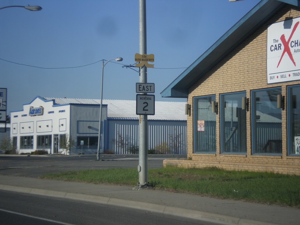
MT-2 South - Harrison Ave.
MT-2 shield along Harrison Ave. in Butte.
Taken 05-10-2015
 Butte
Silver Bow County
Montana
United States
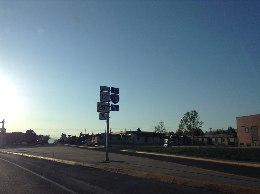
US-12 East/BL-15 South Approaching I-15/US-287
US-12 East/BL-15 South (Prospect Ave.) approaching I-15/US-287 in Helena.
Taken 05-10-2015


 Helena
Lewis and Clark County
Montana
United States
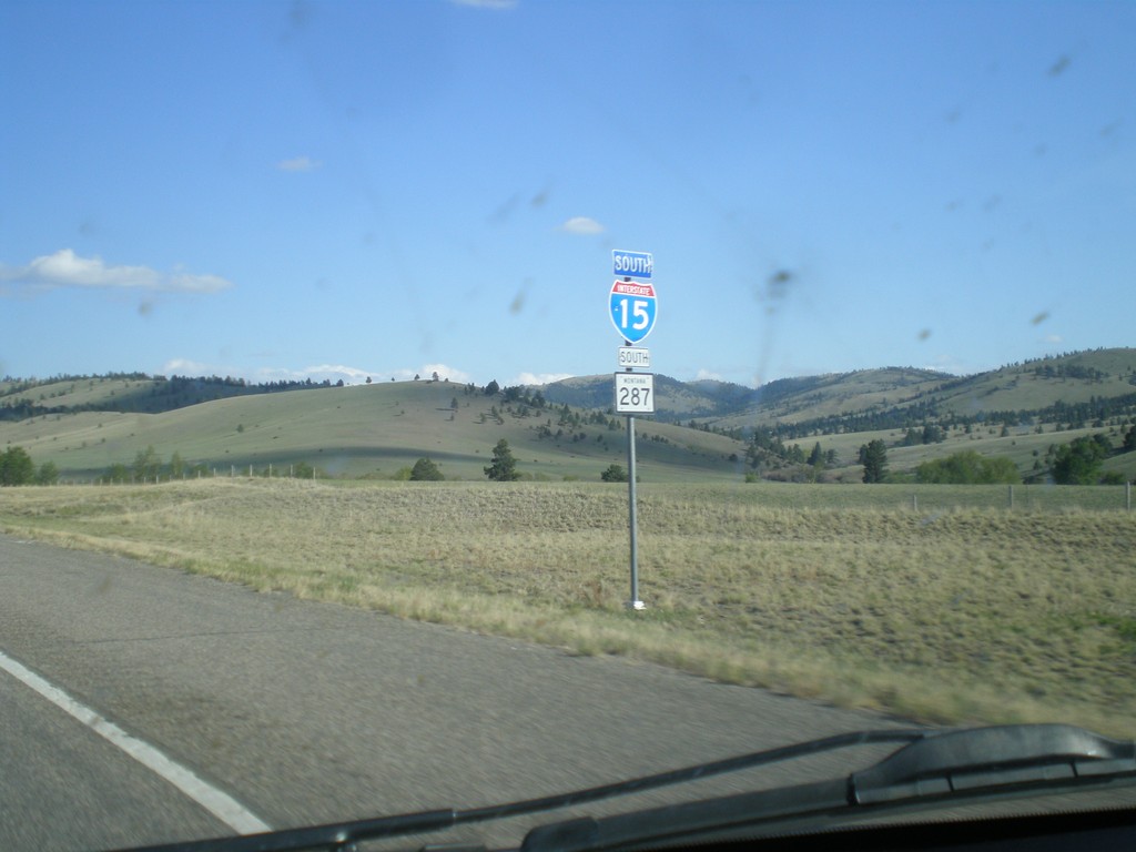
I-15 South/US-287 South - Lewis and Clark County
The US-287 shield is incorrectly displayed as a MT-287 shield. There is an actual MT-287, in southwestern Montana.
Taken 05-09-2015

 Wolf Creek
Lewis and Clark County
Montana
United States
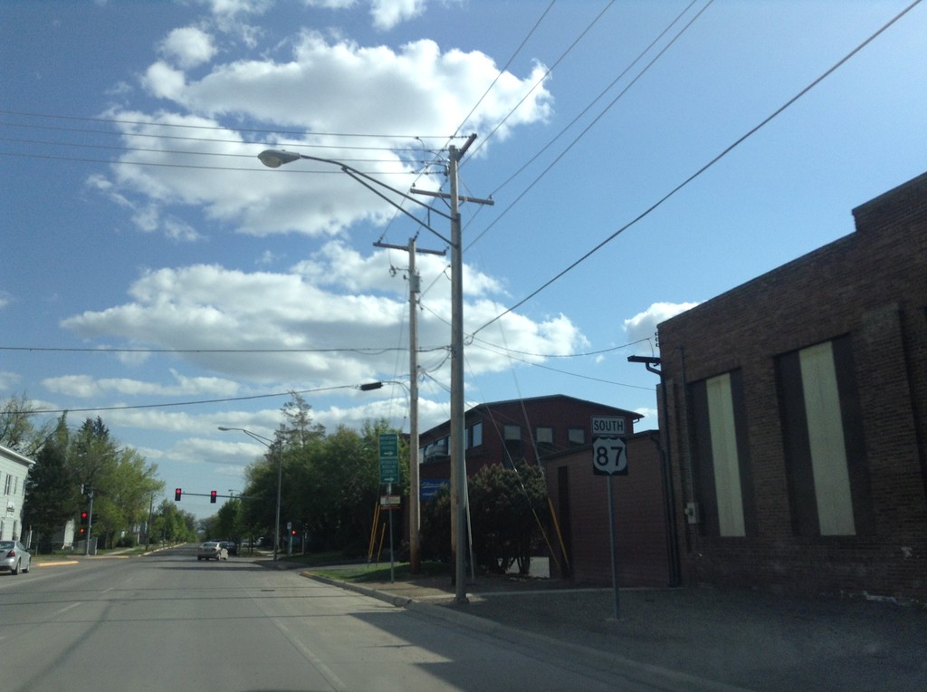
US-87 South - Great Falls
US-87 south along 14th St. N in Great Falls.
Taken 05-09-2015
 Great Falls
Cascade County
Montana
United States
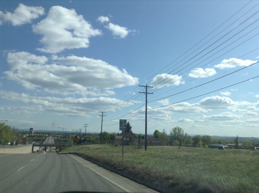
US-87 South - Black Eagle
US-87 south in Black Eagle, approaching the Smelter Ave. underpass.
Taken 05-09-2015
 Black Eagle
Cascade County
Montana
United States
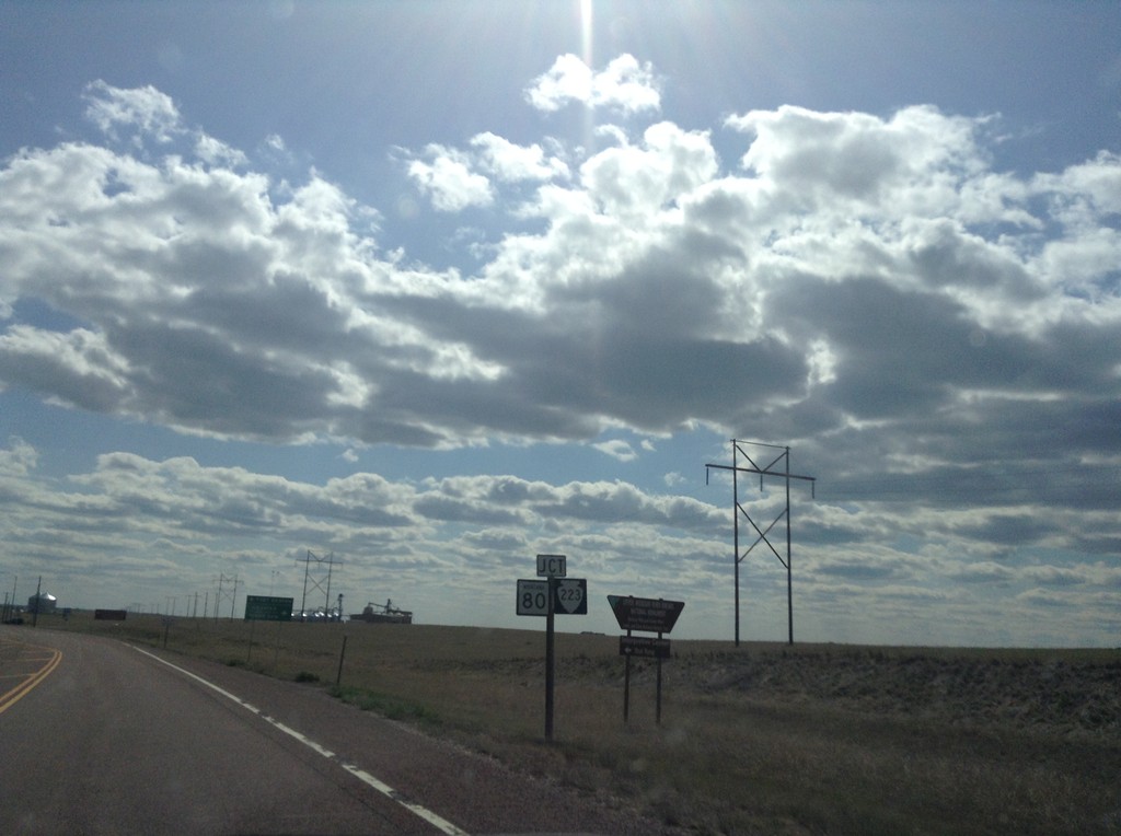
US-87 South Approaching MT-80 and MTS-223
US-87 South Approaching MT-80 and MTS-223, above Fort Benton, Montana.
Taken 05-09-2015


 Fort Benton
Chouteau County
Montana
United States
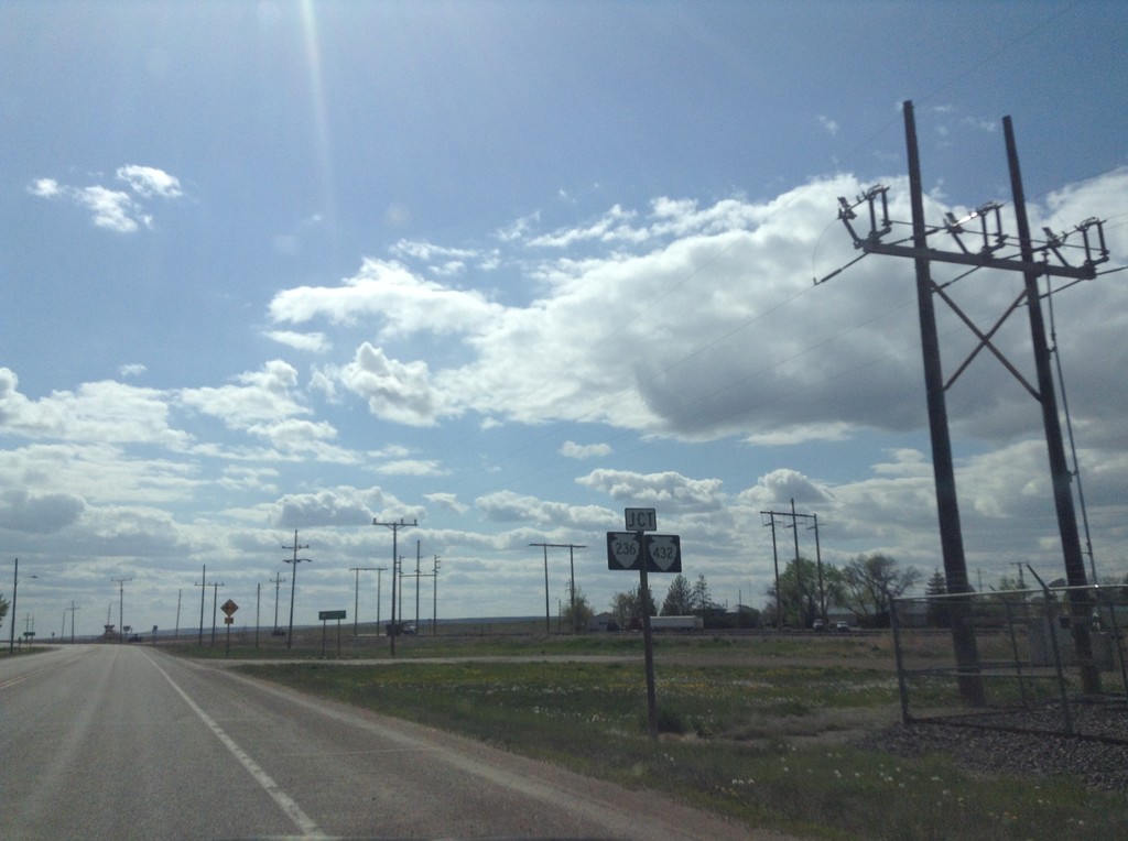
US-87 South at MTS-432 and MTS-236
US-87 South at MTS-432 and MTS-236 in Big Sandy.
Taken 05-09-2015


 Big Sandy
Chouteau County
Montana
United States
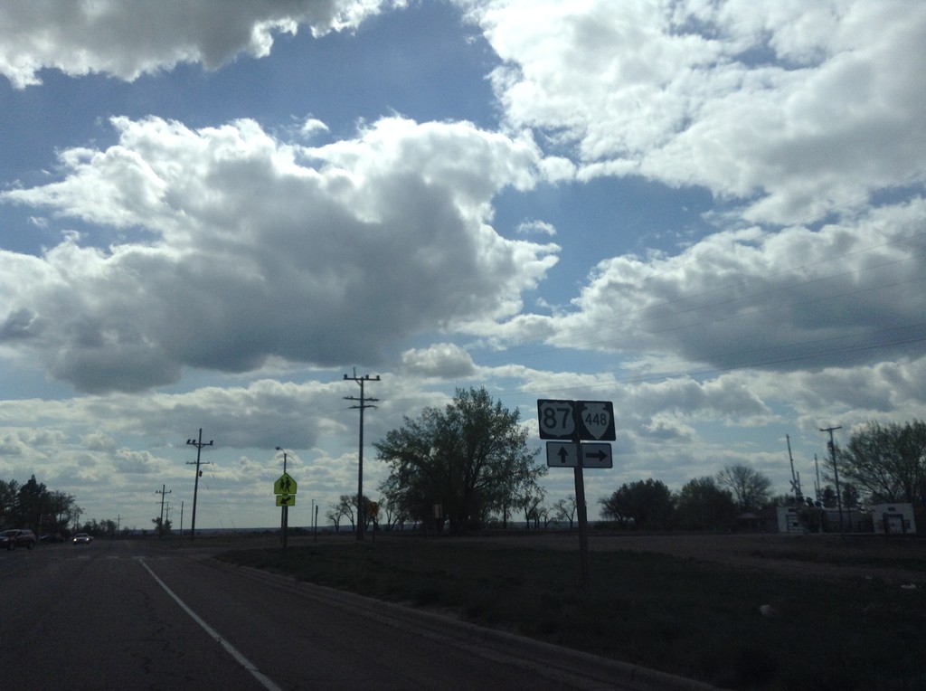
US-87 South at MTS-448
US-87 South at MTS-448 in Box Elder.
Taken 05-09-2015

 Box Elder
Hill County
Montana
United States
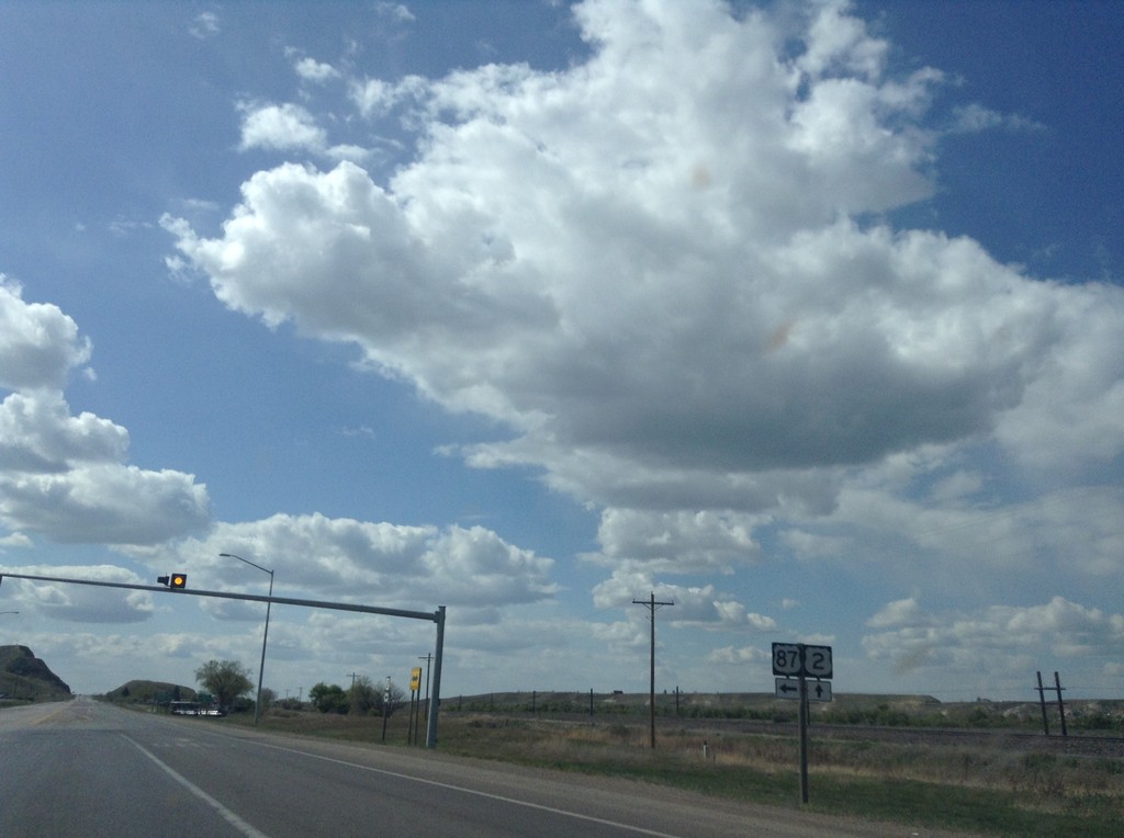
US-2 West at US-87 South
US-2 west at US-87 south, just west of Havre.
Taken 05-09-2015

 Havre
Hill County
Montana
United States
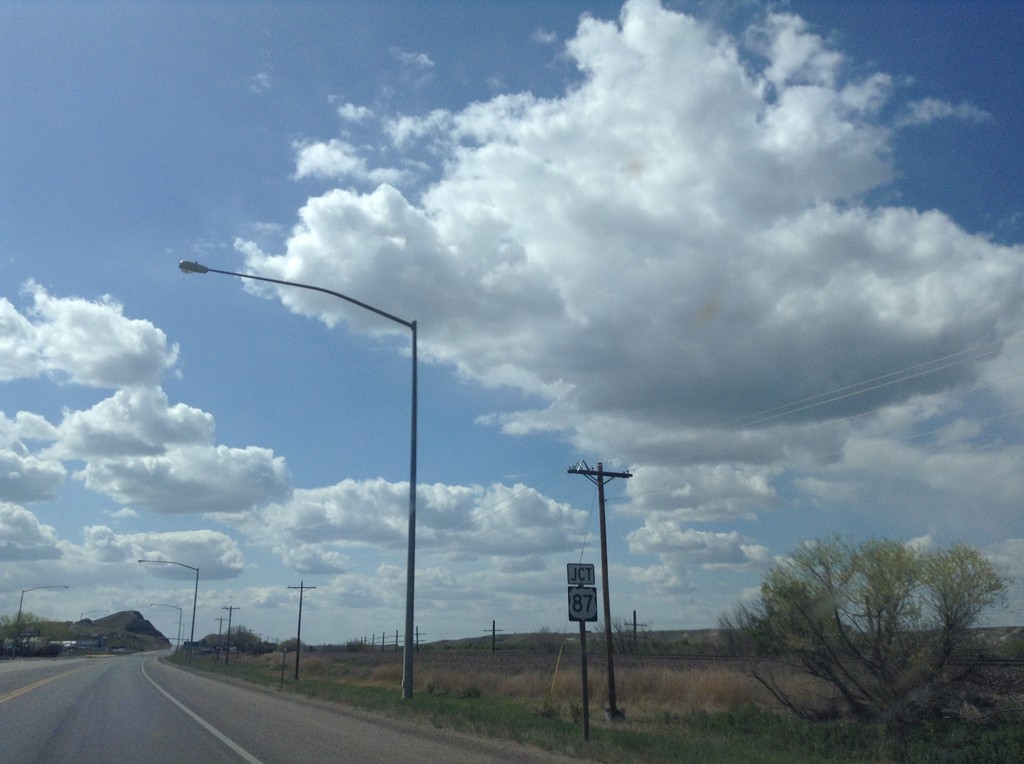
US-2 West Approaching US-87 South
US-2 west approaching US-87 south. This is the northern end of US-87.
Taken 05-09-2015

 Havre
Hill County
Montana
United States
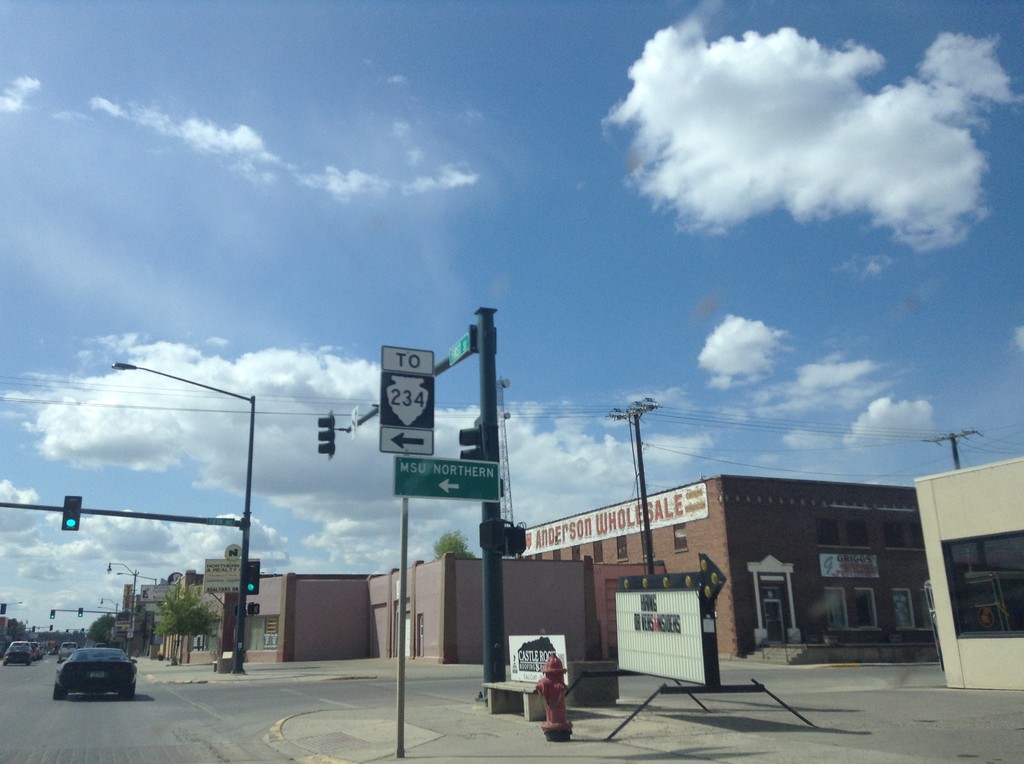
US-2 West at MTS-234 South
US-2 West at MTS-234 South to the MSU Northern campus.
Taken 05-09-2015

 Havre
Hill County
Montana
United States