Signs Tagged With Shield
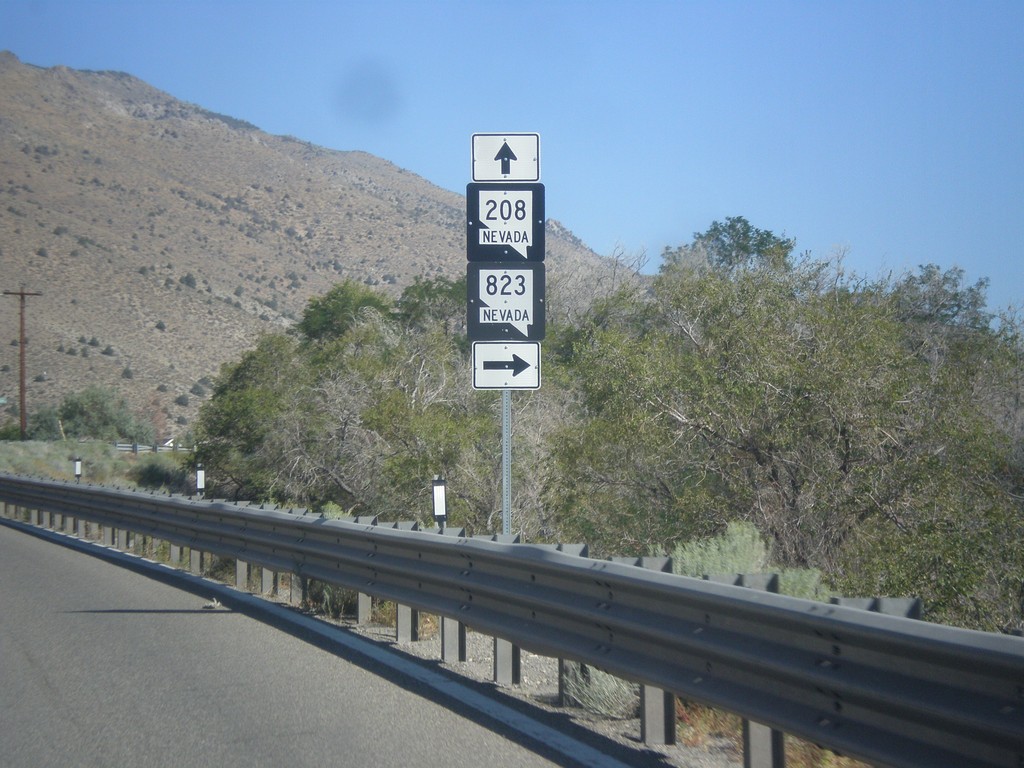
NV-208 West at NV-823
NV-208 West at NV-823 (Lower Colony Road).
Taken 08-12-2016

 Smith Valley
Lyon County
Nevada
United States
Smith Valley
Lyon County
Nevada
United States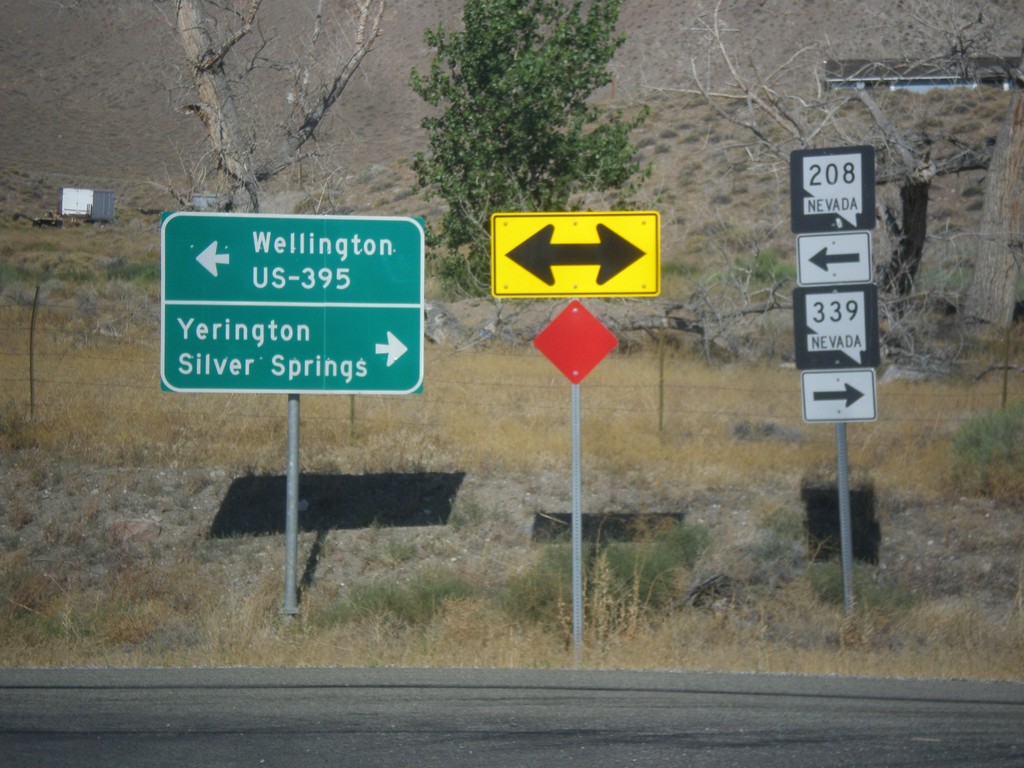
NV-208 West at NV-339
NV-208 west at NV-339. Turn right for NV-339 north to Yerington and Silver Springs. Turn left to continue west on NV-208 for Wellington and US-395 Jct.
Taken 08-12-2016
 Yerington
Lyon County
Nevada
United States
Yerington
Lyon County
Nevada
United States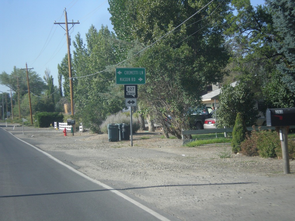
NV-208 South at NV-827
NV-208 South at NV-827 - Mason Road/Cremetti Lane Junction.
Taken 08-12-2016
 Yerington
Lyon County
Nevada
United States
Yerington
Lyon County
Nevada
United States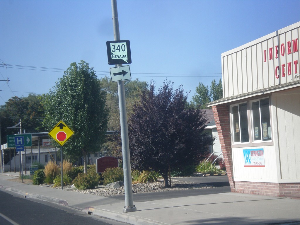
NV-208 South Approaching NV-340
NV-208 South approaching NV-340 in Yerington.
Taken 08-12-2016
 Yerington
Lyon County
Nevada
United States
Yerington
Lyon County
Nevada
United States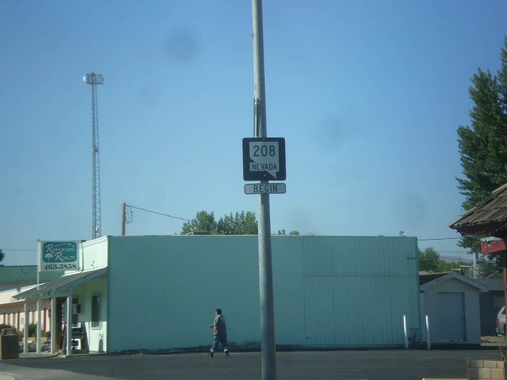
Begin NV-208 South - Yerington
Begin NV-208 South on Main St. in Yerington
Taken 08-12-2016
Yerington
Lyon County
Nevada
United States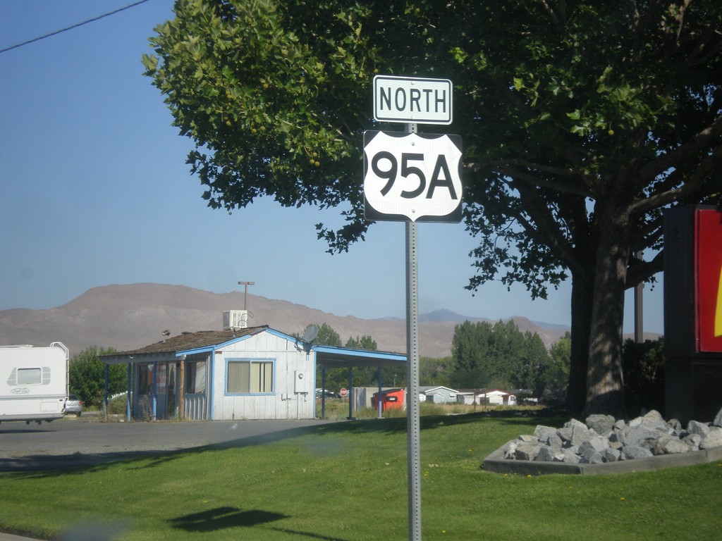
US-95A North - Yerington
US-95A North along West Goldfield Ave. in Yerington
Taken 08-12-2016
 Yerington
Lyon County
Nevada
United States
Yerington
Lyon County
Nevada
United States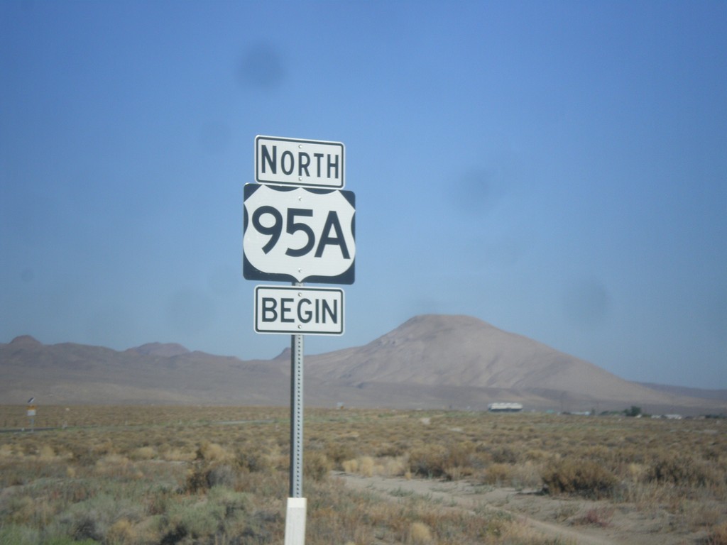
Begin US-95A (US-95 Alternate) in Schurz
Begin US-95A (US-95 Alternate) in Schurz. The US-95A shield is commonplace on the stretch of highway between Schurz and Silver Springs. North of Silver Springs the US-95 with the ALT banner is used.
Taken 08-12-2016
Schurz
Mineral County
Nevada
United States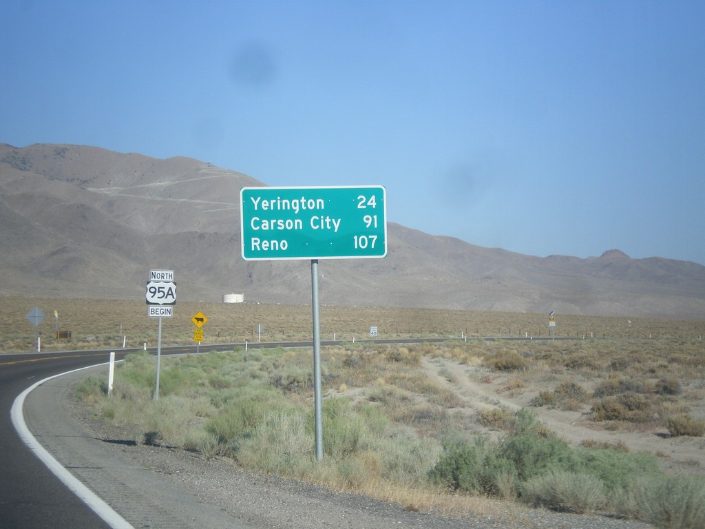
US-95 Alt. North - Distance Marker
Distance marker on US-95 Alt. north. Distance to Yerington, Carson City (via US-50), and Reno (via I-80).
Taken 08-12-2016
Schurz
Mineral County
Nevada
United States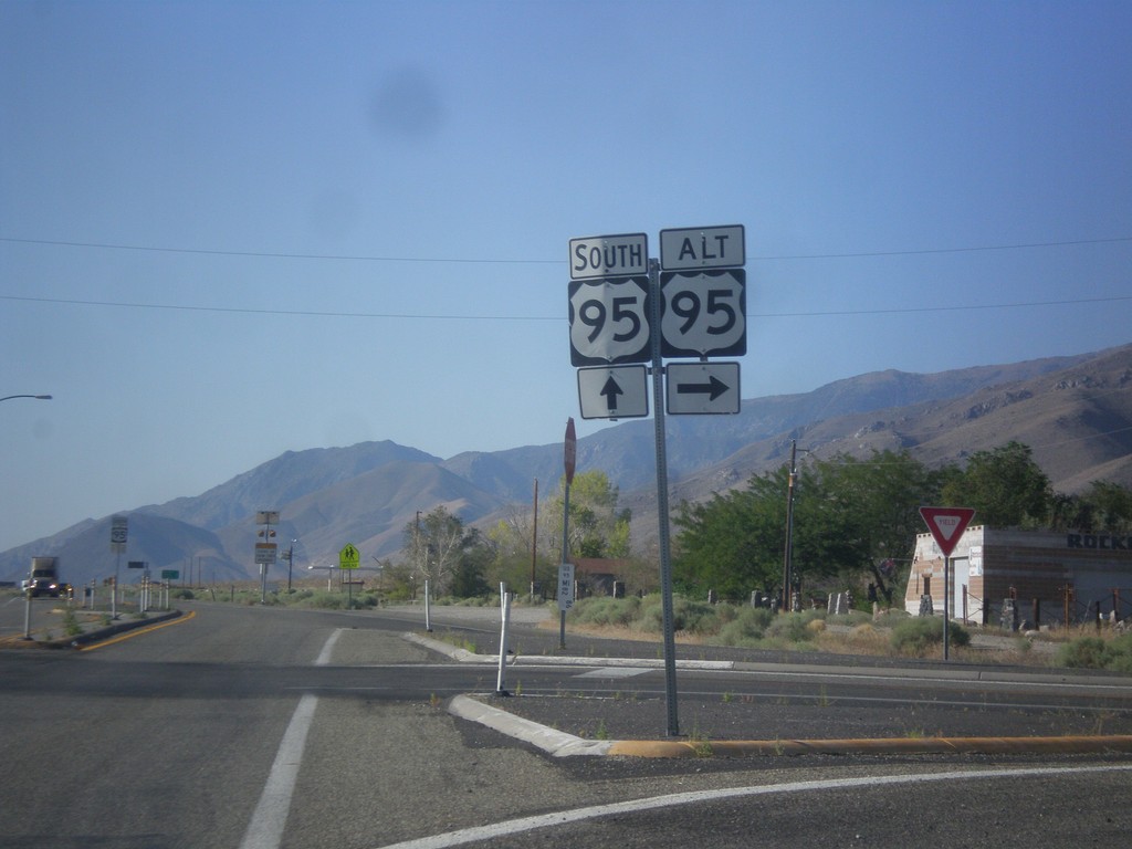
US-95 South at US-95 Alt.
US-95 south at US-95 Alt North in Schurz. This is the southern terminus of US-95 Alt.
Taken 08-12-2016
 Schurz
Mineral County
Nevada
United States
Schurz
Mineral County
Nevada
United States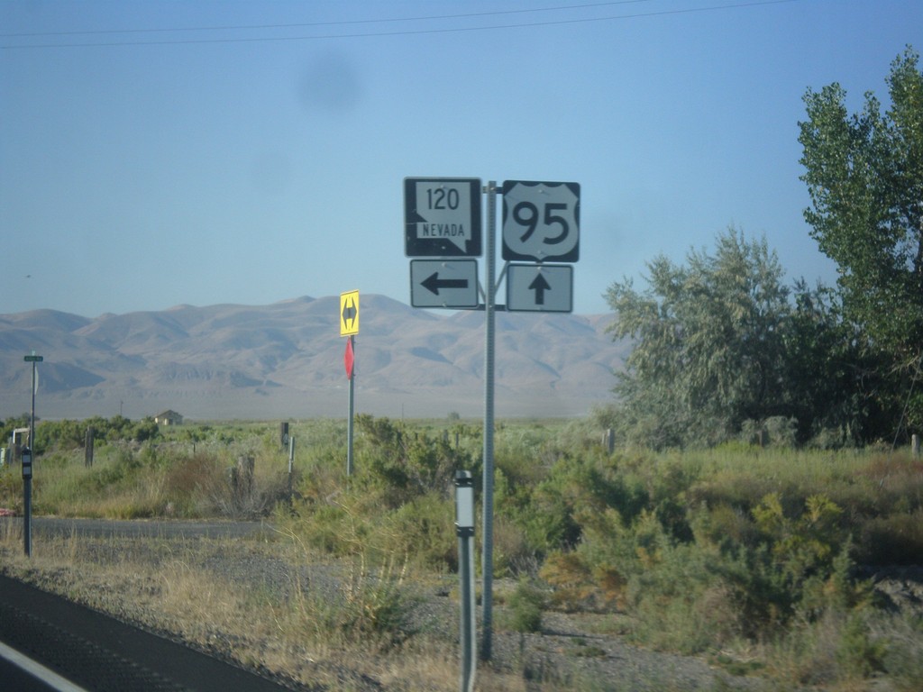
US-95 South at NV-120
US-95 South at NV-120 East (Pasture Road).
Taken 08-12-2016
Fallon Station
Churchill County
Nevada
United States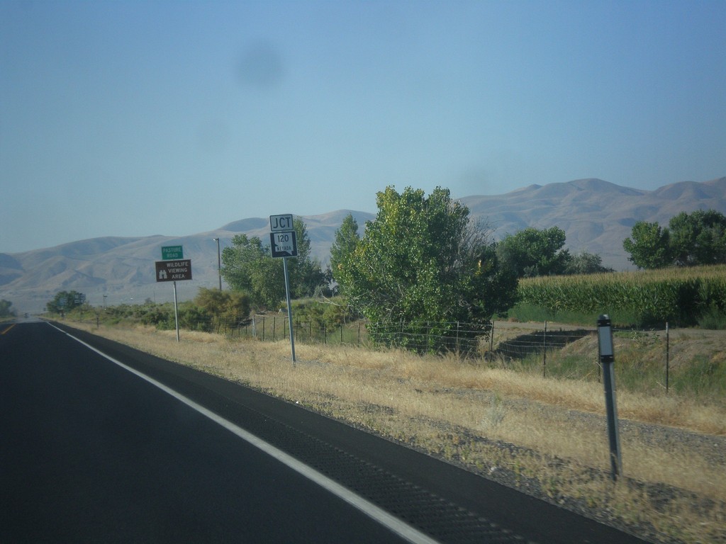
US-95 South Approaching NV-120
US-95 South Approaching NV-120 East (Pasture Road).
Taken 08-12-2016
 Fallon
Churchill County
Nevada
United States
Fallon
Churchill County
Nevada
United States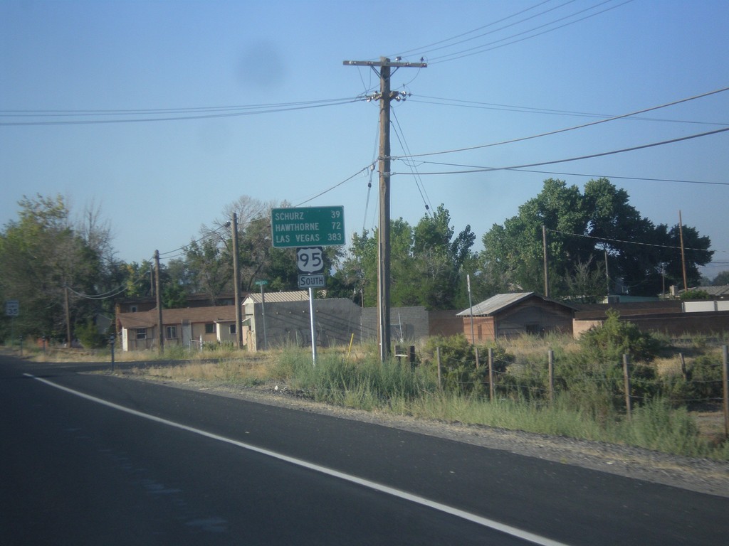
US-95 South - Distance Marker
Distance marker on US-95 south. Distance to Schurz, Hawthorne, and Las Vegas.
Taken 08-12-2016
Fallon
Churchill County
Nevada
United States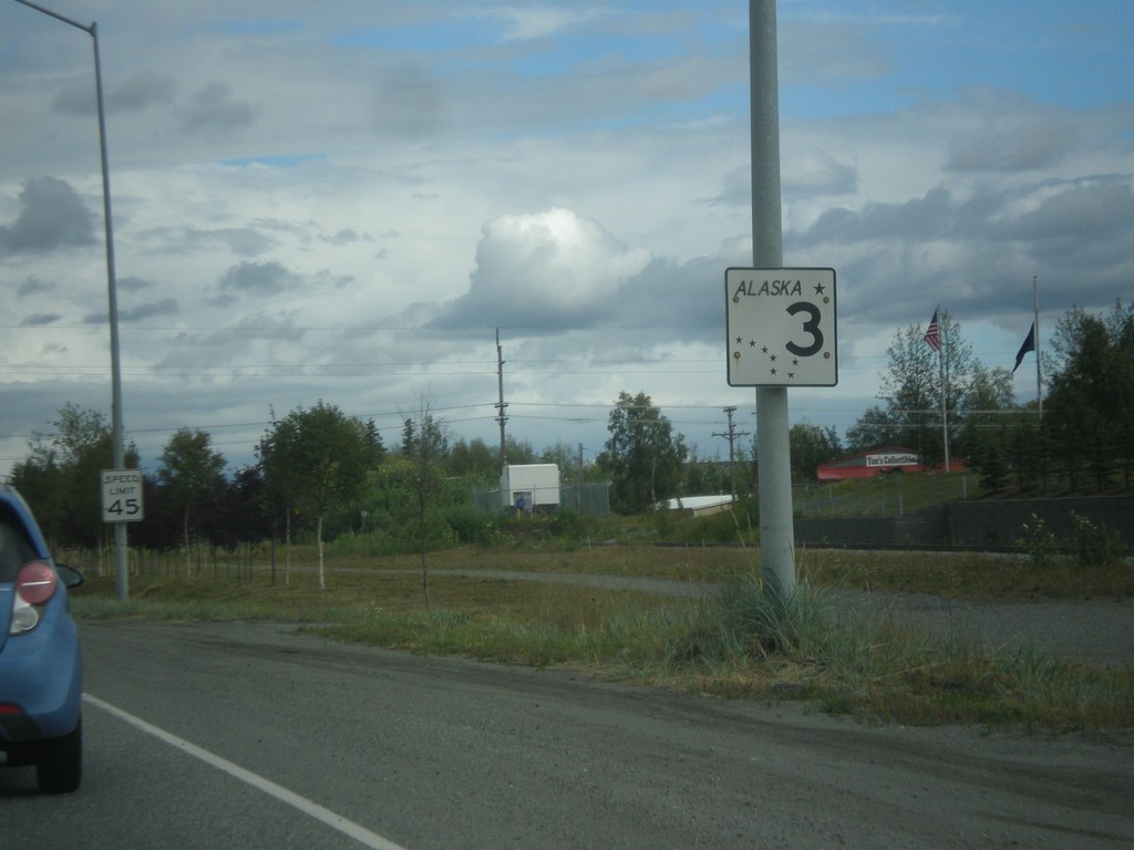
AK-3 South - Wasilla
AK-3 South in Wasilla.
Taken 07-23-2016
 Wasilla
Matanuska-Susitna
Alaska
United States
Wasilla
Matanuska-Susitna
Alaska
United States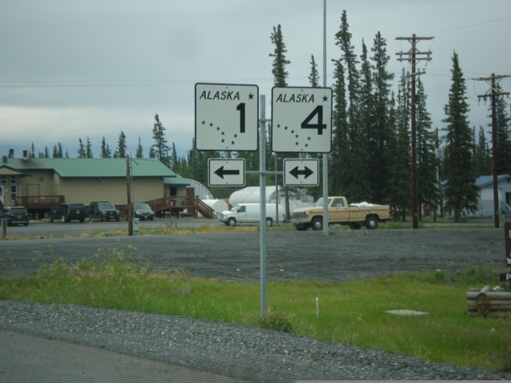
AK-1 North at AK-4 - Glenallen
AK-1 North (Glenn Highway) at AK-4 (Richardson Highway) in Glenallen. AK-1 north joins AK-4 north to Gulkana Junction.
Taken 07-22-2016

 Glennallen
Copper River Census Area
Alaska
United States
Glennallen
Copper River Census Area
Alaska
United States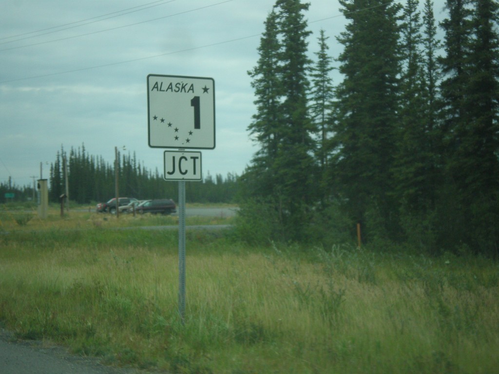
AK-4 North at AK-1
AK-4 North (Richardson Highway) at AK-1 (Glenn Highway) junction in Glenallen. AK-1 north joins AK-4 north to Gakona Junction.
Taken 07-22-2016
Glennallen
Copper River Census Area
Alaska
United States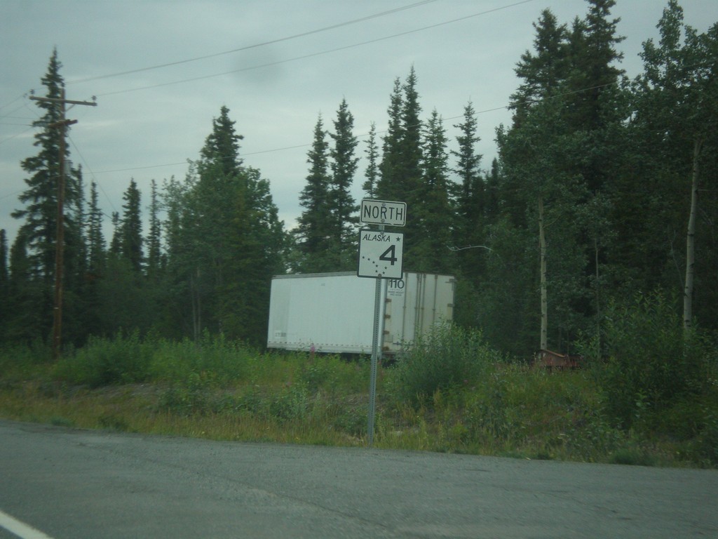
AK-4 North - Richardson Highway
AK-4 North shield on the Richardson Highway.
Taken 07-22-2016
Kenny Lake
Copper River Census Area
Alaska
United States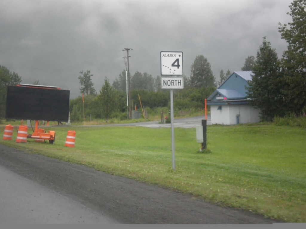
AK-4 North - Valdez
First AK-4 north shield along the Richardson Highway in Valdez.
Taken 07-21-2016
Valdez
Chugach
Alaska
United States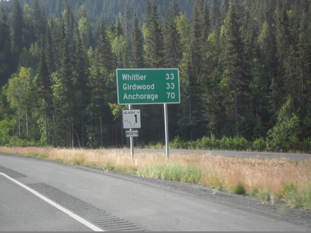
AK-1 North - Distance Marker
Distance marker and AK-1 shield along AK-1 (Seward Highway) north. Distance to Girdwood, Whittier (via Portage Glacier Highway), and Anchorage.
Taken 07-20-2016
Hope
Kenai Peninsula Borough
Alaska
United States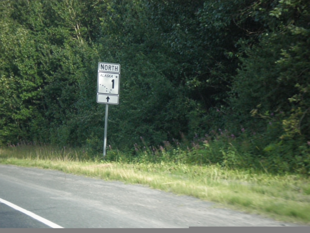
AK-1 North - Seward Highway
AK-1 north (Seward Highway) at Tern Lake Junction.
Taken 07-20-2016
Moose Pass
Kenai Peninsula Borough
Alaska
United States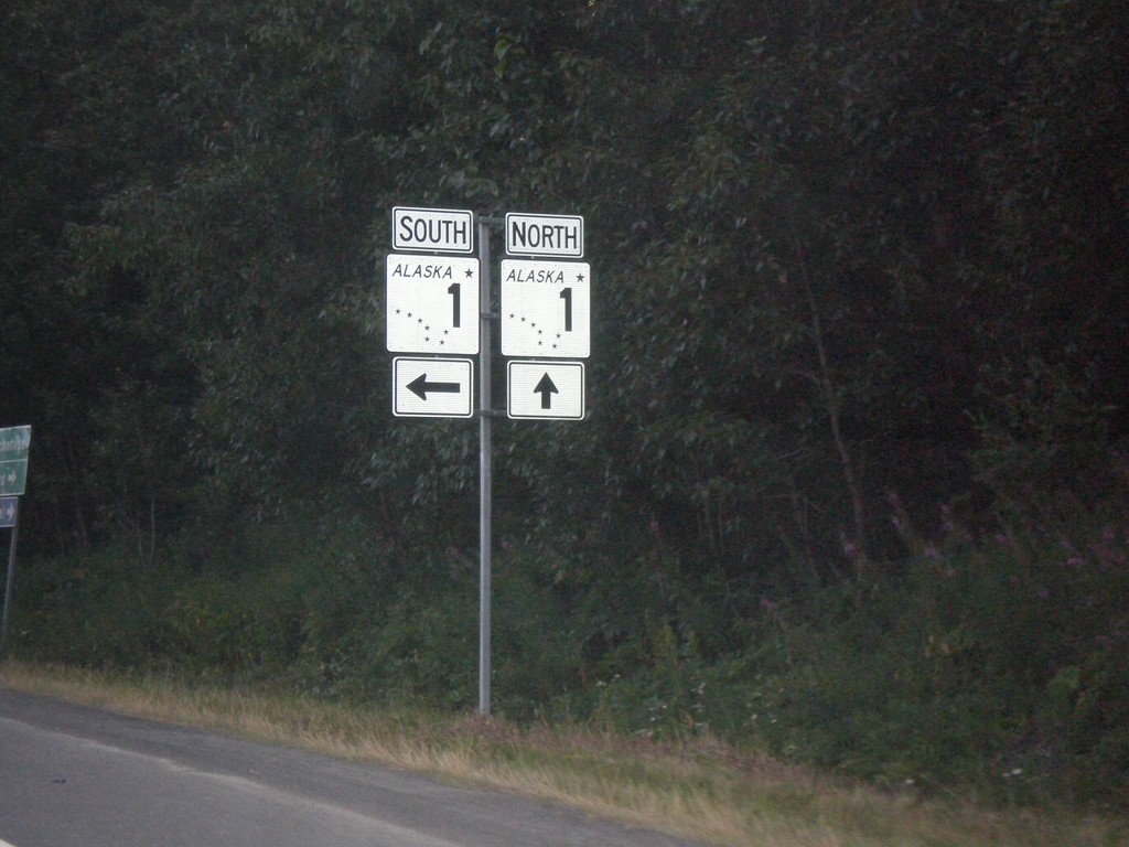
End AK-9 North at AK-1
End AK-9 North at AK-1 at Tern Lake Junction. Turn left for AK-1 south (Sterling Highway); continue straight for AK-1 north (Seward Highway).
Taken 07-20-2016
 Moose Pass
Kenai Peninsula Borough
Alaska
United States
Moose Pass
Kenai Peninsula Borough
Alaska
United States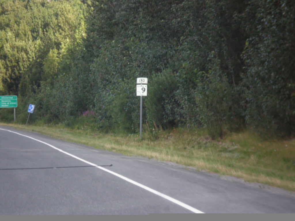
End AK-9 North at AK-1
End AK-9 North at AK-1 (Sterling Highway). Seward Highway continues northbound along AK-1.
Taken 07-20-2016
Moose Pass
Kenai Peninsula Borough
Alaska
United States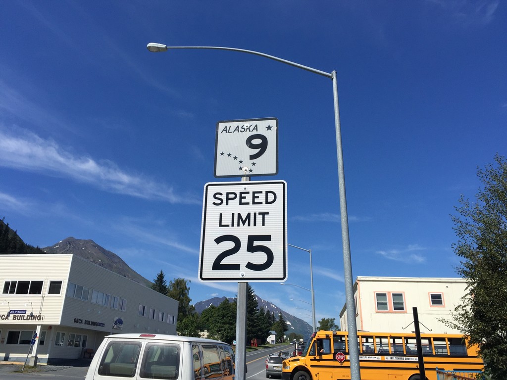
AK-9 North - Seward
First AK-9 shield northbound along 3rd Ave. in Seward. Speed limit 25 MPH.
Taken 07-17-2016
Seward
Kenai Peninsula Borough
Alaska
United States
AK-9 South - Seward
Last AK-9 shield along AK-9 south in Seward.
Taken 07-16-2016
Seward
Kenai Peninsula Borough
Alaska
United States
AK-9 South - Seward Highway
First AK-9 shield southbound on the Seward Highway. Tern Lake is in the background.
Taken 07-16-2016
Moose Pass
Kenai Peninsula Borough
Alaska
United States
East 6th St. at Seward Highway/Glenn Highway
East 6th St. at Seward Highway/Glenn Highway junction. Turn right (Gambell St.) for AK-1 south and the Seward Highway. Continue straight for AK-1 north and the Glenn Highway.
Taken 07-16-2016
Anchorage
Anchorage Municipality
Alaska
United States