Signs Tagged With Shield
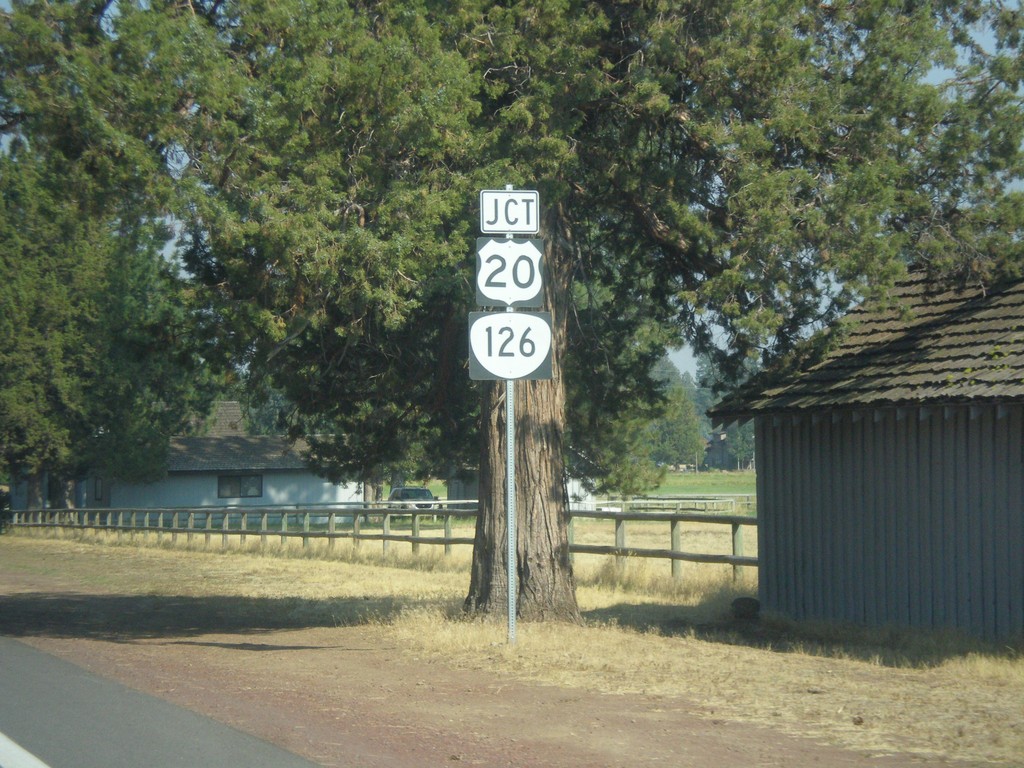
OR-242 East Approaching US-20/OR-126
OR-242 East approaching US-20/OR-126 in Sisters.
Taken 08-22-2015


 Sisters
Deschutes County
Oregon
United States
Sisters
Deschutes County
Oregon
United States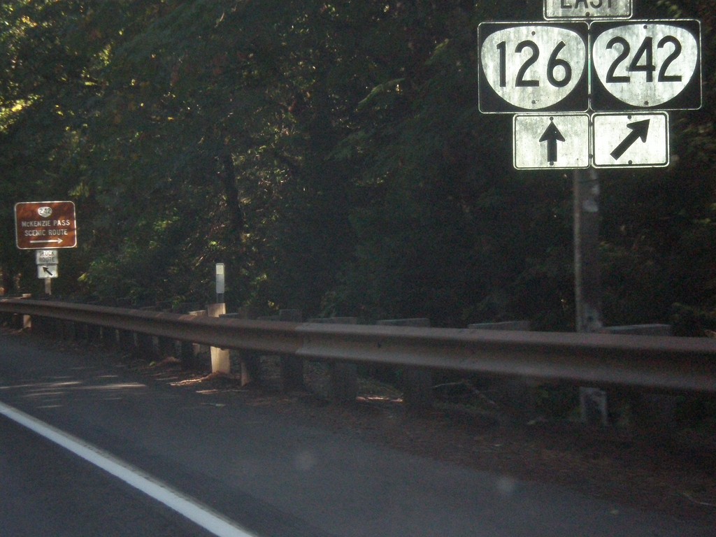
OR-126 East at OR-242
OR-126 East at OR-242. OR-126 east turns north towards Santiam Pass and OR-242 crosses the Cascades at McKenzie Pass. McKenzie Highway follows OR-242 over the pass and rejoins OR-126 in Sisters.
Taken 08-22-2015
Belknap Springs
Lane County
Oregon
United States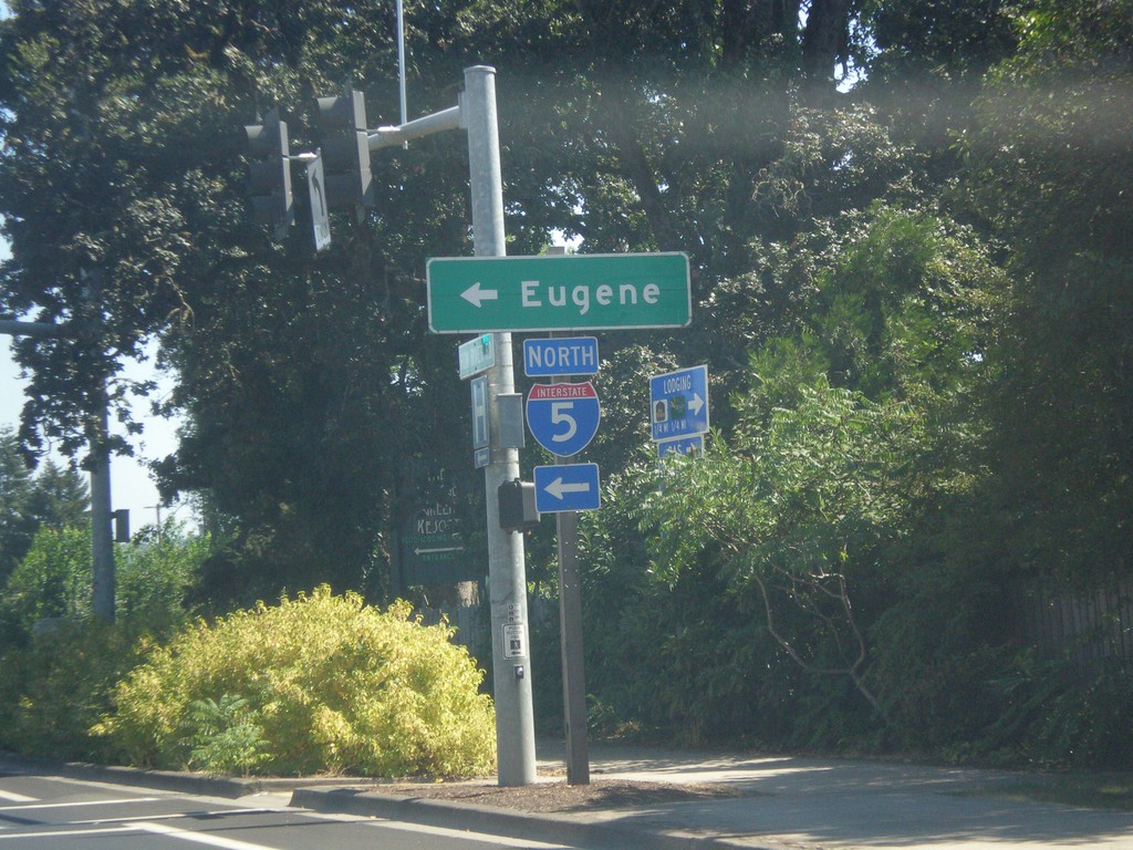
Row River Road East at I-5 North
Row River Road East at I-5 North to Eugene.
Taken 08-22-2015
 Cottage Grove
Lane County
Oregon
United States
Cottage Grove
Lane County
Oregon
United States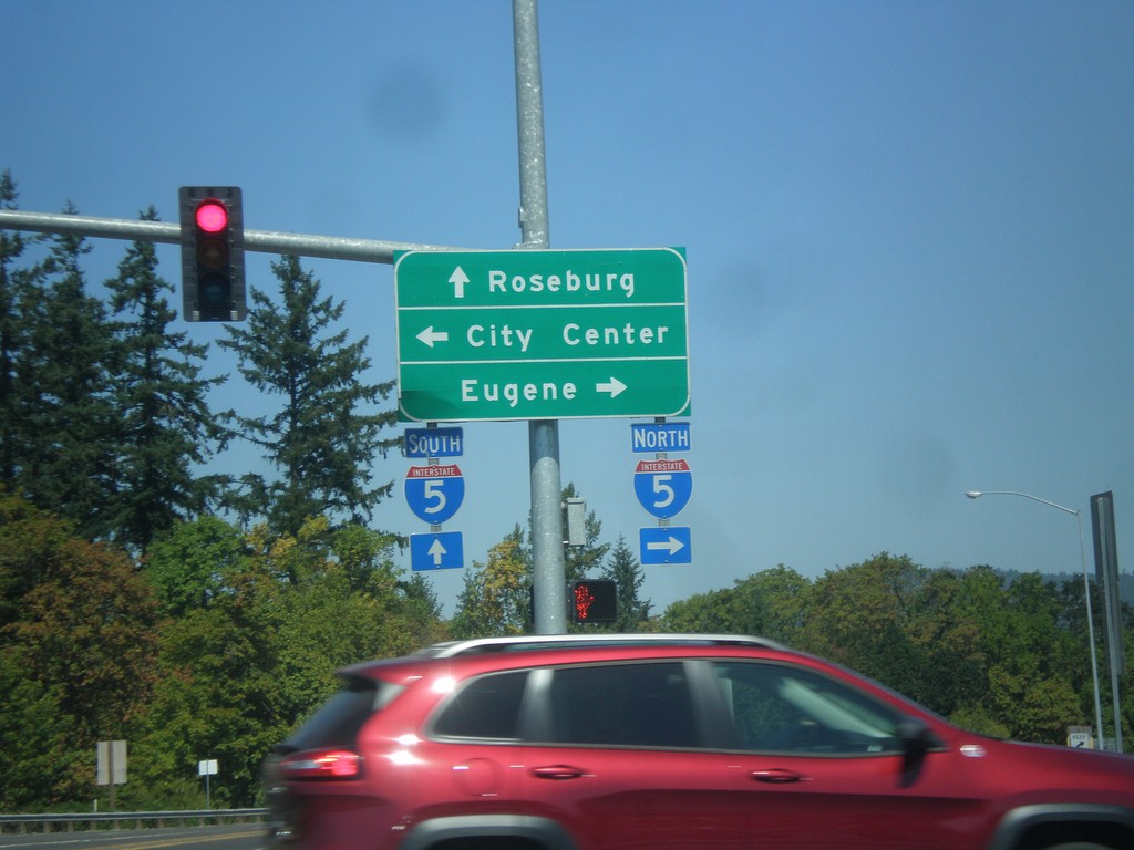
Gateway Blvd. north at I-5/Row River Road.
Gateway Blvd. north at I-5 and Row River Road. Continue straight for I-5 south to Roseburg; turn right on Row River Road for I-5 north to Eugene; left for (Cottage Grove) City Center.
Taken 08-22-2015
Cottage Grove
Lane County
Oregon
United States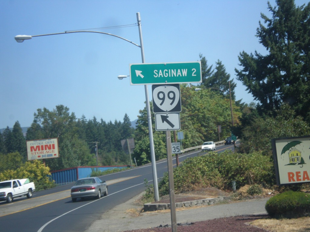
OR-99 North at Row River Road
OR-99 North at Row River Road in Cottage Grove. Merge left to continue north to OR-99 to Saginaw.
Taken 08-22-2015
 Cottage Grove
Lane County
Oregon
United States
Cottage Grove
Lane County
Oregon
United States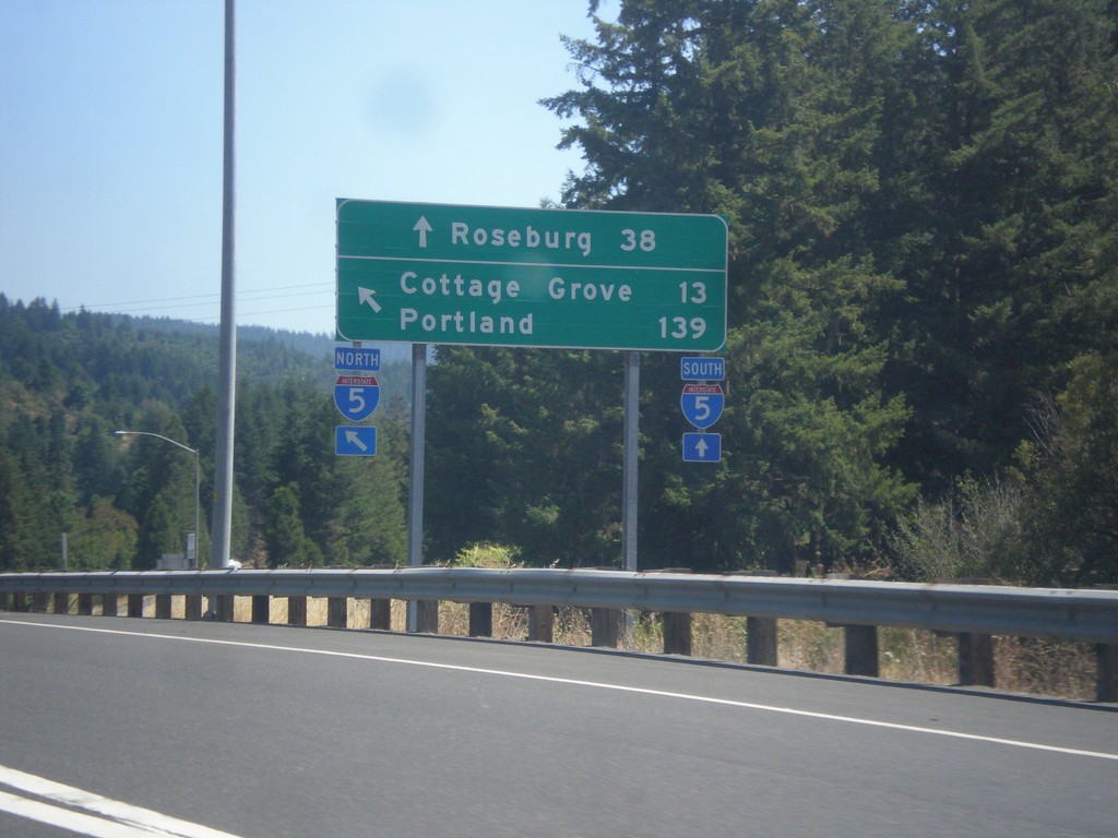
OR-38 East/OR-99 North at I-5
OR-38 East/OR-99 North at I-5. Use I-5 South to Roseburg; I-5 north to Cottage Grove and Portland. This is the eastern end of OR-38. This segment of OR-99 ends here, and re-appears in Cottage Grove.
Taken 08-22-2015
 Drain
Douglas County
Oregon
United States
Drain
Douglas County
Oregon
United States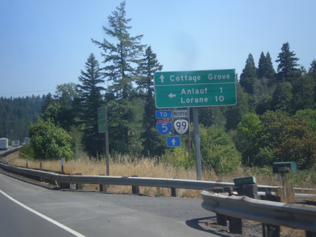
OR-38 East/OR-99 North at Curtin Road Jct.
OR-38 East/OR-99 North at Curtin Road Jct north to Anlauf and Lorane. Continue east on OR-38/OR-99 for Cottage Grove and I-5. The OR-38 shield is not displayed on this sign post, only OR-99.
Taken 08-22-2015
Drain
Douglas County
Oregon
United States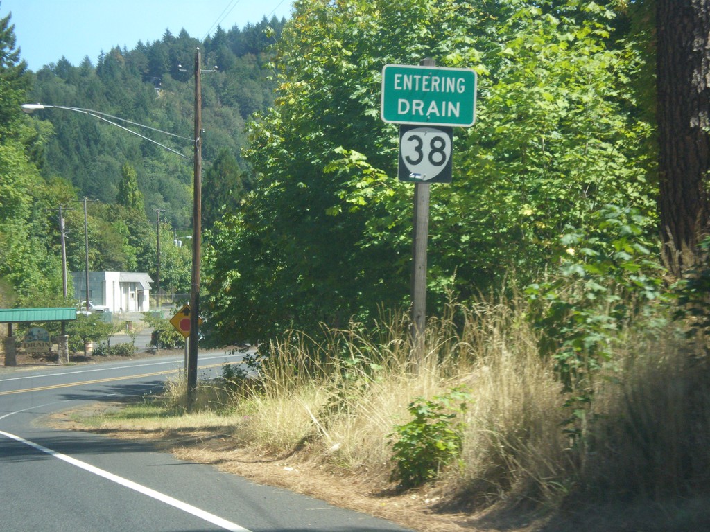
OR-38 East - Drain
Entering Drain on OR-38 east.
Taken 08-22-2015
Drain
Douglas County
Oregon
United States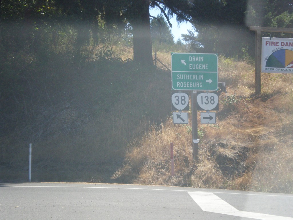
OR-38 East at OR-138
OR-38 east at OR-138. Turn right for OR-138 east to Roseburg and Sutherlin. Turn left for OR-38 east to Drain and Eugene.
Taken 08-22-2015
 Elkton
Douglas County
Oregon
United States
Elkton
Douglas County
Oregon
United States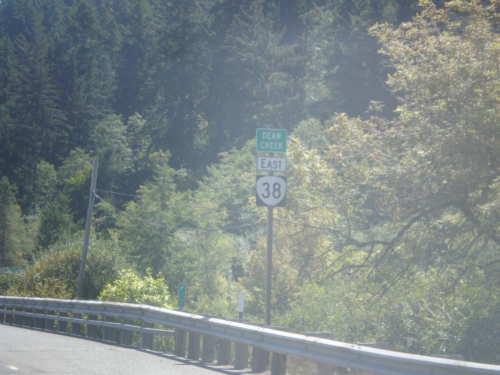
OR-38 East - Dean Creek
OR-38 east at Dean Creek bridge.
Taken 08-22-2015
Reedsport
Douglas County
Oregon
United States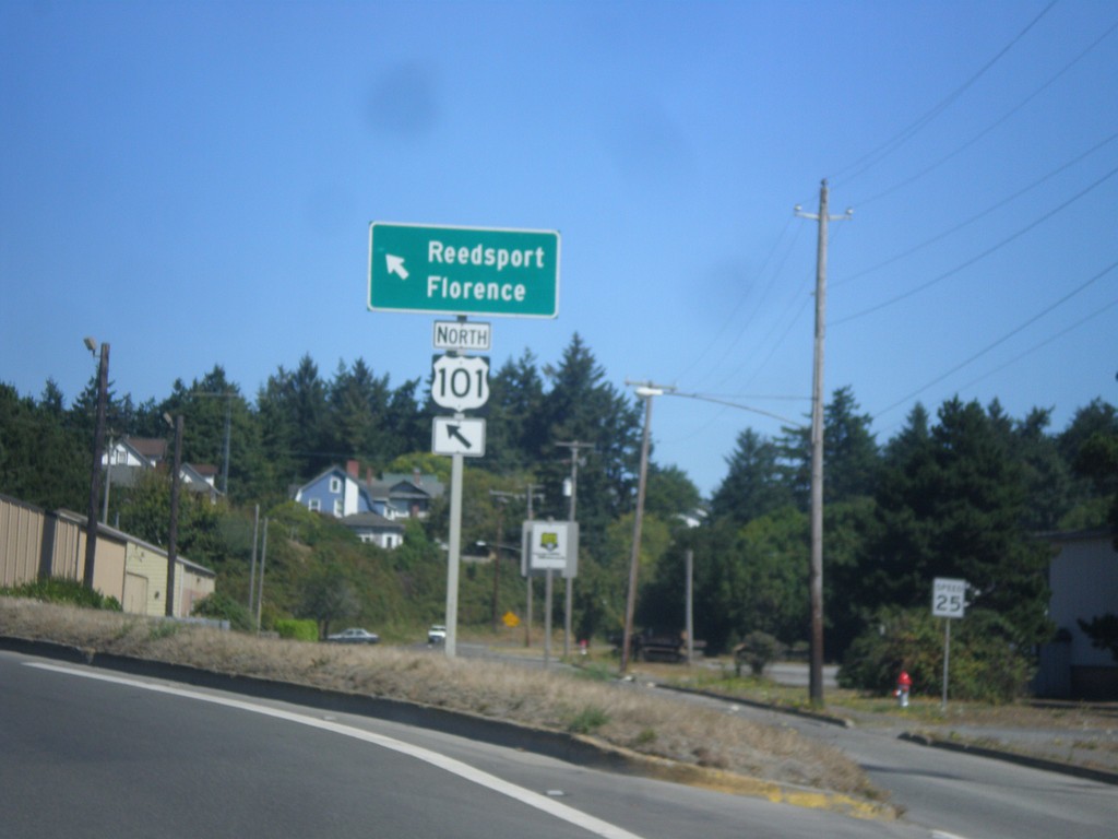
US-101 North - North Bend
US-101 North (Sheridan Ave.) merging back onto Sherman Ave as a two way street. Merge left to continue on US-101 for Reedsport and Florence.
Taken 08-22-2015

 North Bend
Coos County
Oregon
United States
North Bend
Coos County
Oregon
United States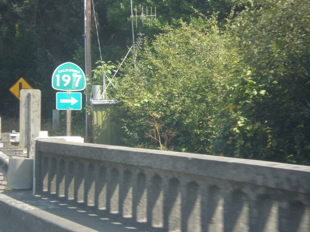
US-101 North at CA-197
US-101 north at CA-197. CA-197 follows the Smith River east to US-199. It is a quicker route to reach US-199 when coming from Oregon.
Taken 08-20-2015
 Crescent City
Del Norte County
California
United States
Crescent City
Del Norte County
California
United States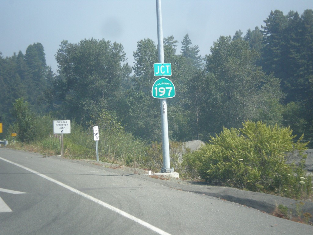
US-101 North Approaching CA-197
US-101 North approaching CA-197 in Del Norte County.
Taken 08-20-2015
Crescent City
Del Norte County
California
United States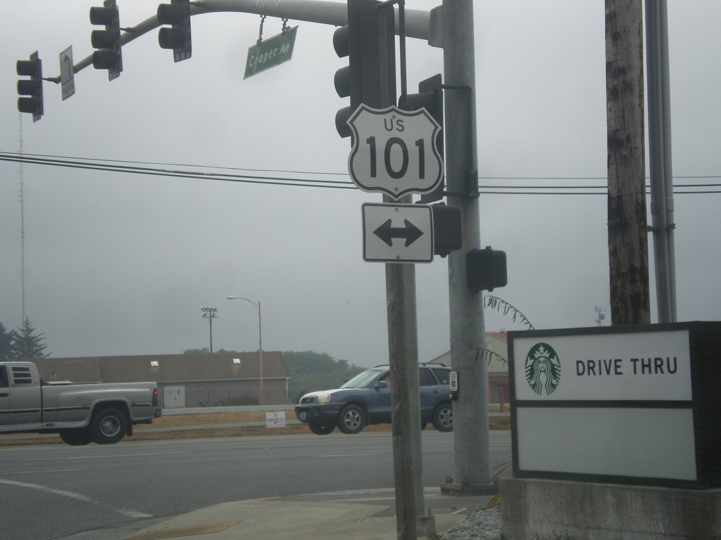
Cooper Ave. at US-101
Cooper Ave. at US-101 in Crescent City.
Taken 08-20-2015
Crescent City
Del Norte County
California
United States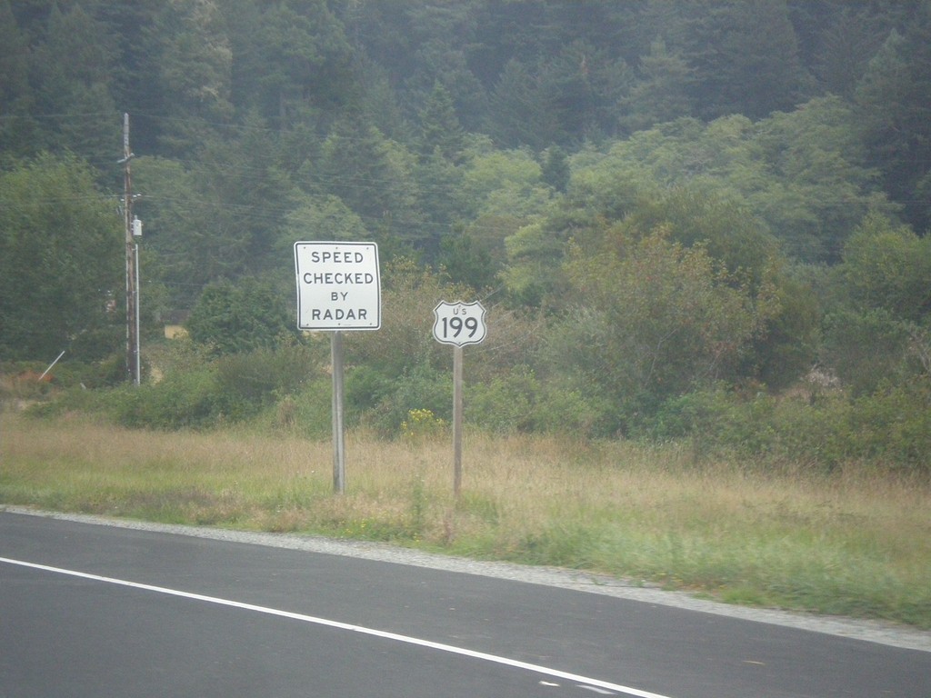
US-199 North - Del Norte County
US-199 North shield in Del Norte County. This is the first US-199 shield northbound.
Taken 08-19-2015
 Crescent City
Del Norte County
California
United States
Crescent City
Del Norte County
California
United States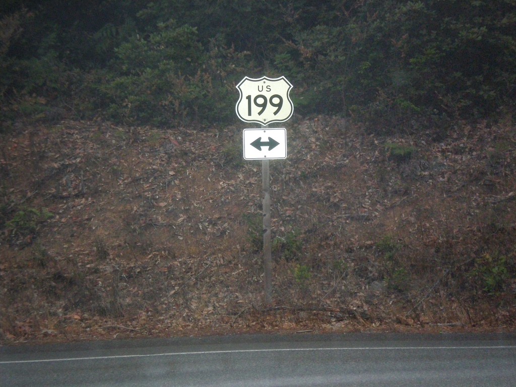
South Fork Road at US-199
South Fork (Smith River) Road at US-199 in Del Norte County.
Taken 08-19-2015
Douglas Park
Del Norte County
California
United States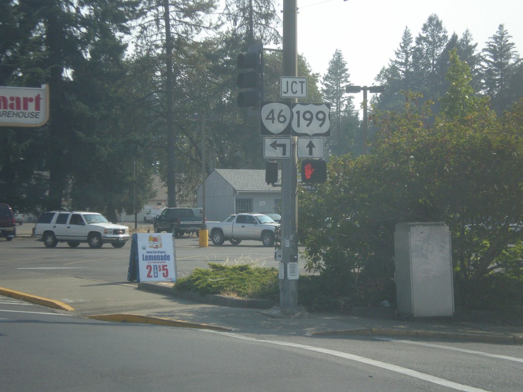
US-199 South Approaching OR-46
US-199 south approaching OR-46 east in Cave Junction.
Taken 08-17-2015
 Cave Junction
Josephine County
Oregon
United States
Cave Junction
Josephine County
Oregon
United States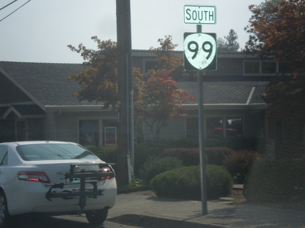
OR-99 South - Grants Pass
OR-99 south along 6th St. in Grants Pass.
Taken 08-17-2015
Grants Pass
Josephine County
Oregon
United States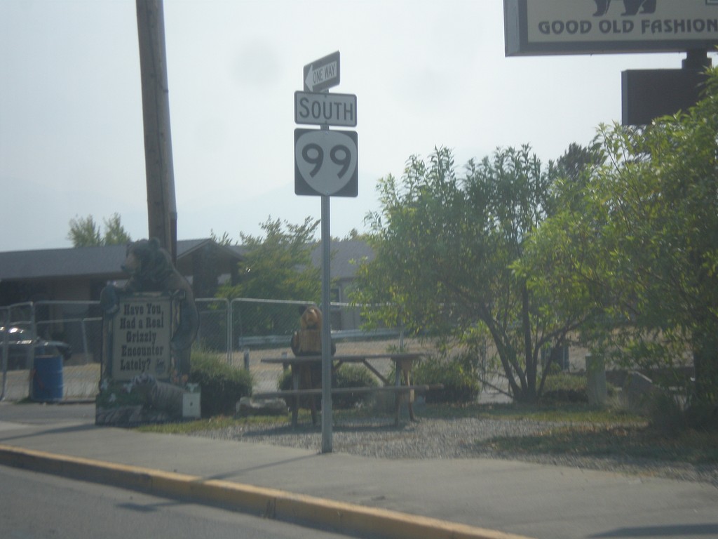
OR-99 South - Grants Pass
OR-99 south (6th St.) in Grants Pass.
Taken 08-17-2015
Grants Pass
Josephine County
Oregon
United States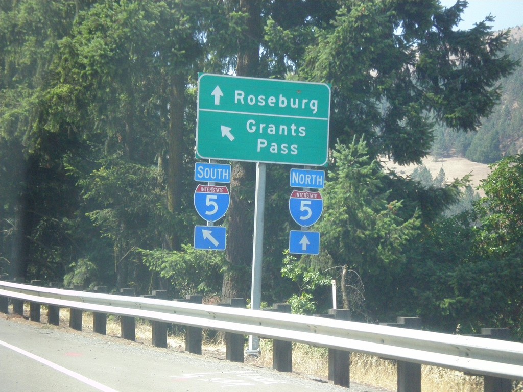
OR-99 North at I-5 (Exit 109) Onramp
OR-99 North at I-5 (Exit 109) onramp. Use I-5 north for Roseburg; I-5 south for Grants Pass.
Taken 08-17-2015
Myrtle Creek
Douglas County
Oregon
United States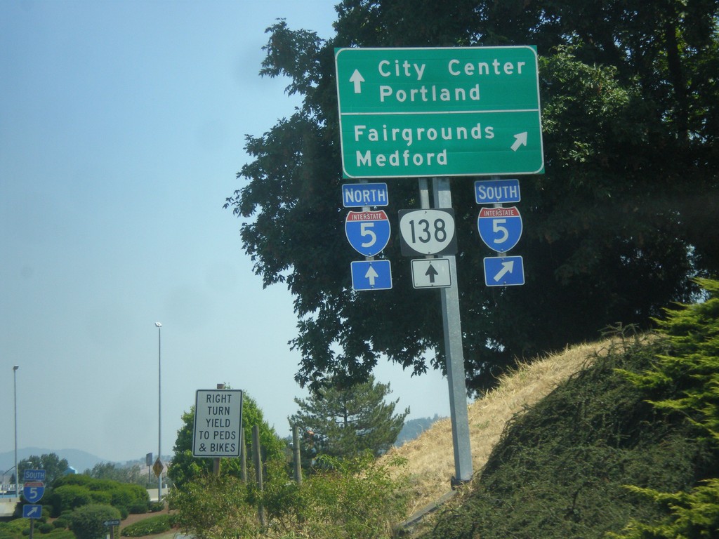
Harvard Ave. East at I-5 and OR-138
Harvard Ave. East at I-5 and OR-138. Turn right for I-5 south for Fairgrounds and Medford. Straight for I-5 North/OR-138 West to Portland; and straight for OR-138 East to City Center.
Taken 08-17-2015
Roseburg
Douglas County
Oregon
United States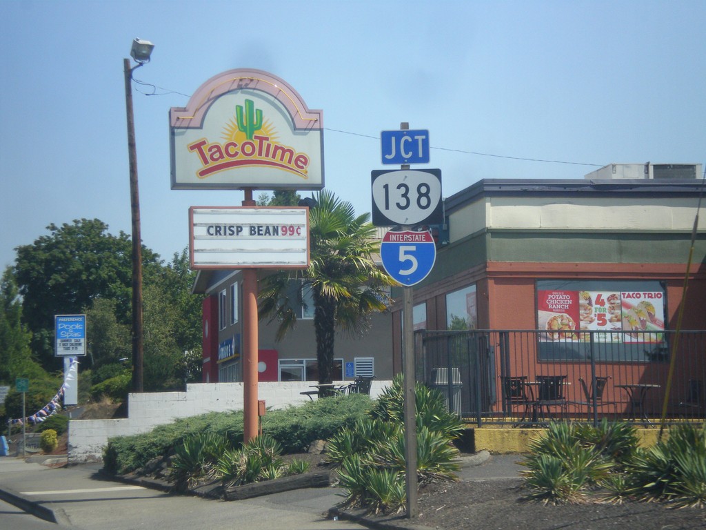
Harvard Ave. East Approaching I-5/OR-138
Harvard Ave. East approaching I-5/OR-138 in Roseburg.
Taken 08-17-2015
Roseburg
Douglas County
Oregon
United States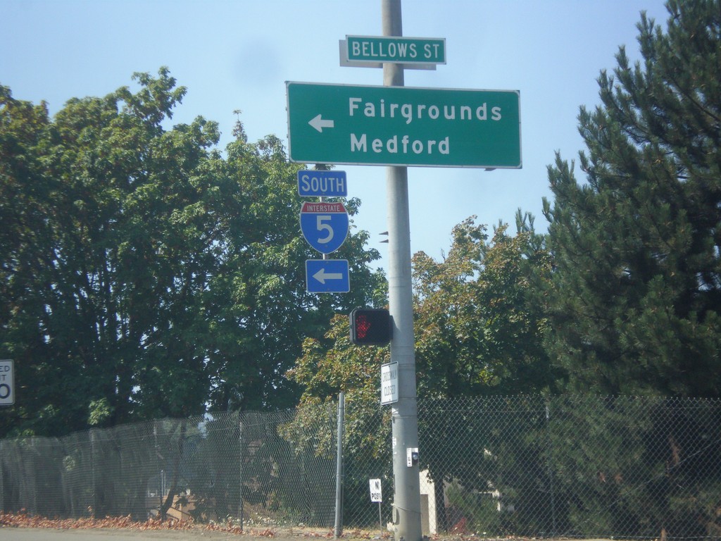
OR-138 West at I-5 South
OR-138 West at I-5 South to Fairgrounds and Medford.
Taken 08-17-2015
Roseburg
Douglas County
Oregon
United States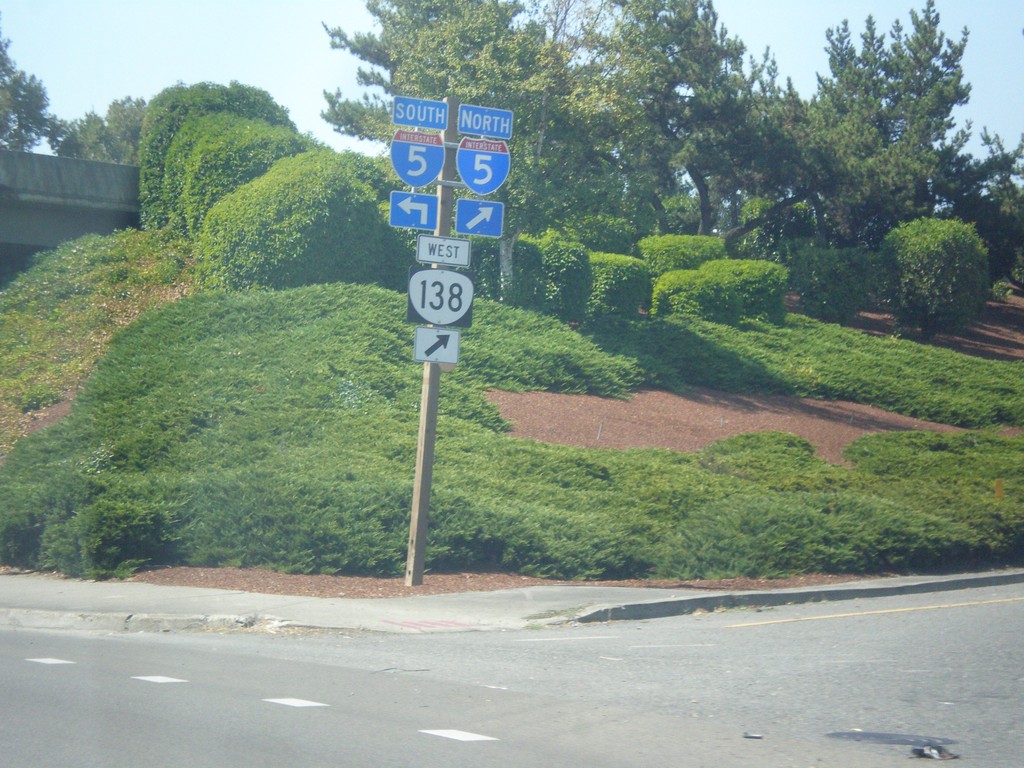
OR-138 West at I-5 Junction
OR-138 West at I-5 junction. OR-138 west joins I-5 northbound.
Taken 08-17-2015
Roseburg
Douglas County
Oregon
United States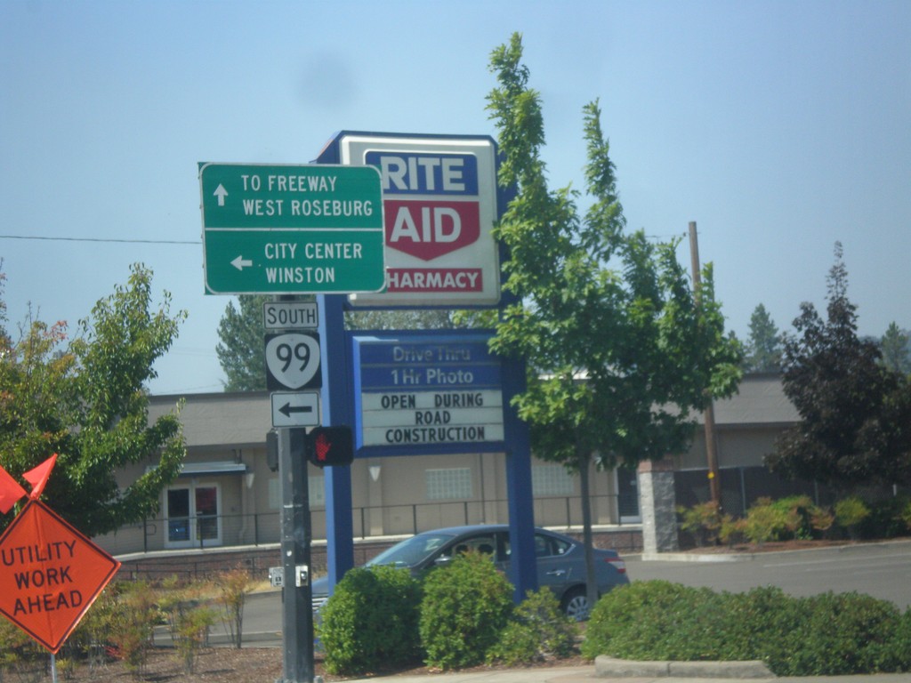
OR-138 West at OR-99 South
OR-138 West (Washington St.) at OR-99 South in Roseburg. Continue straight for OR-138 west to Freeway (I-5) and West Roseburg. Turn left for OR-99 south to City Center and Winston.
Taken 08-17-2015
Roseburg
Douglas County
Oregon
United States