Signs Tagged With Ski Area
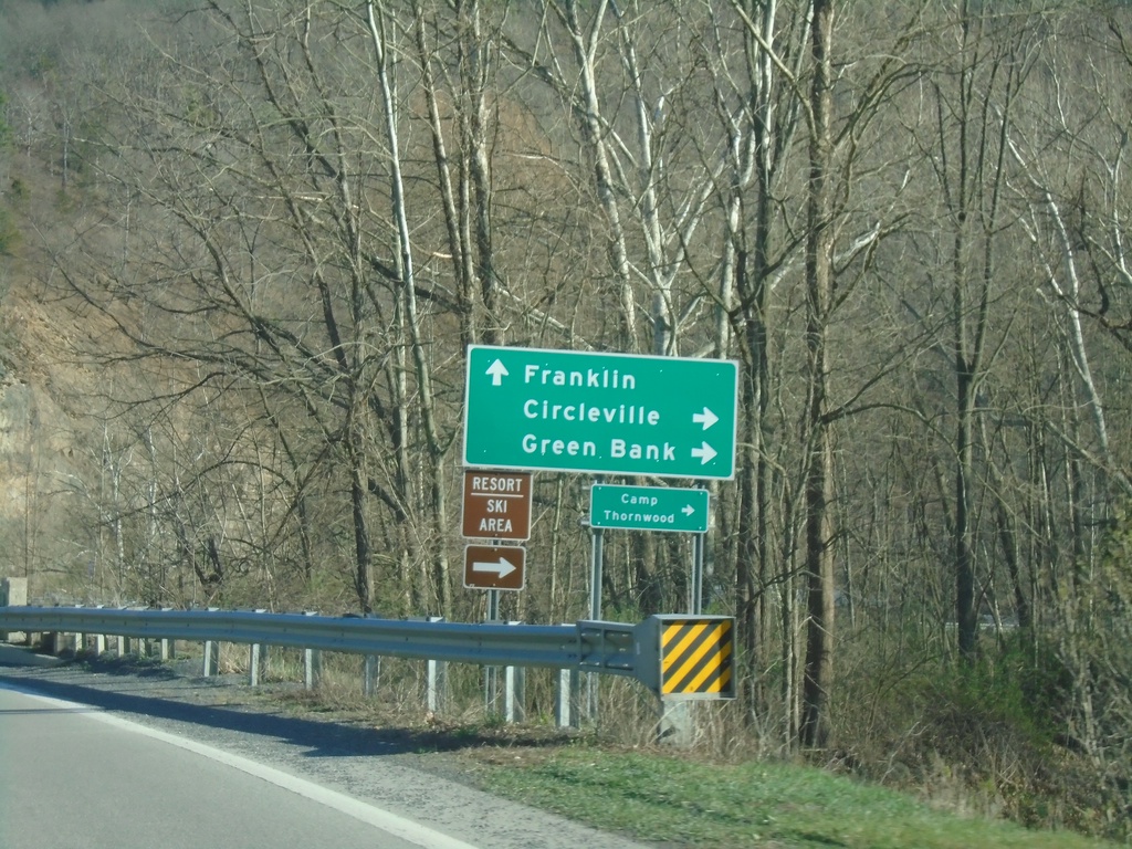
US-33 East/WV-28 South at US-33/WV-28 Split
US-33 East/WV-28 South at US-33/WV-28 Split at Judy Gap. Use WV-28 south to Circleville and Greenbank; use US-33 east to Franklin.
Taken 03-29-2024

 Riverton
Pendleton County
West Virginia
United States
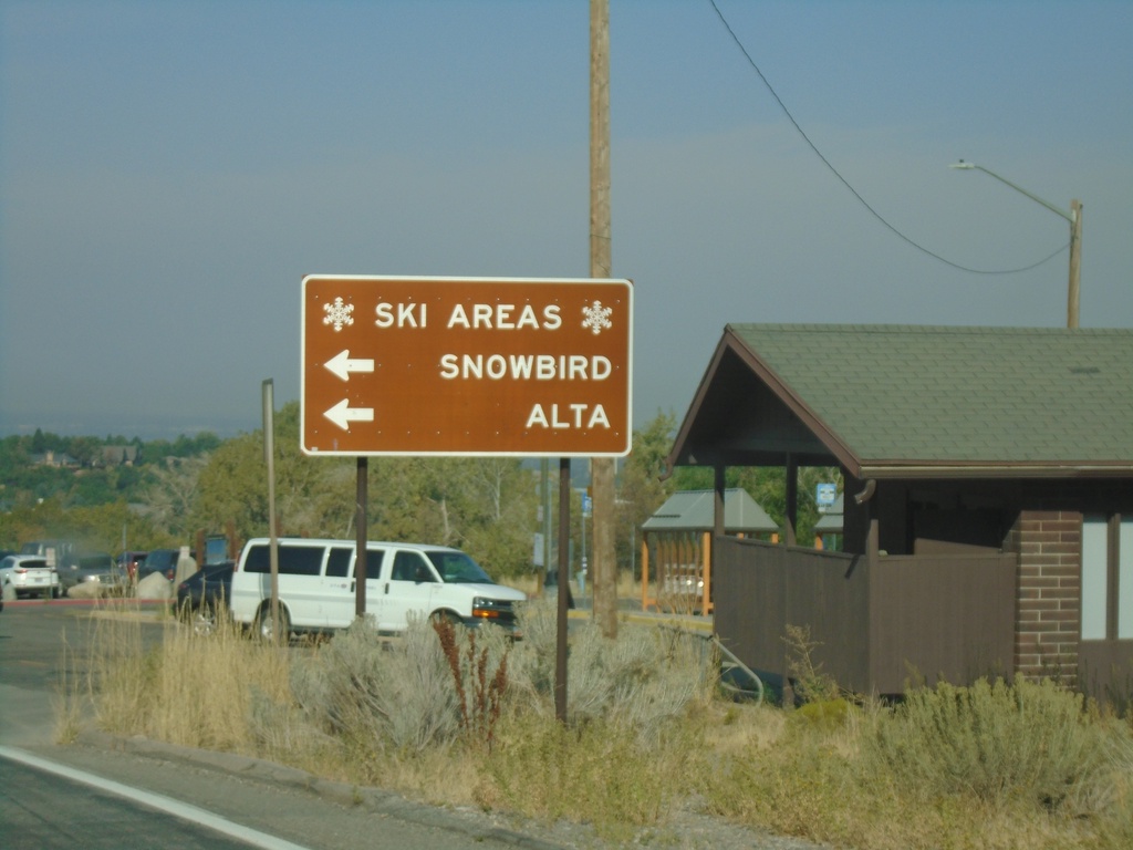
UT-190 West Approaching UT-210 - Ski Areas
UT-190 West approaching UT-210 at mouth of Big Cottonwood Canyon. Use UT-210 East for the Snowbird and Alta ski areas.
Taken 09-12-2022

 Cottonwood Heights
Salt Lake County
Utah
United States
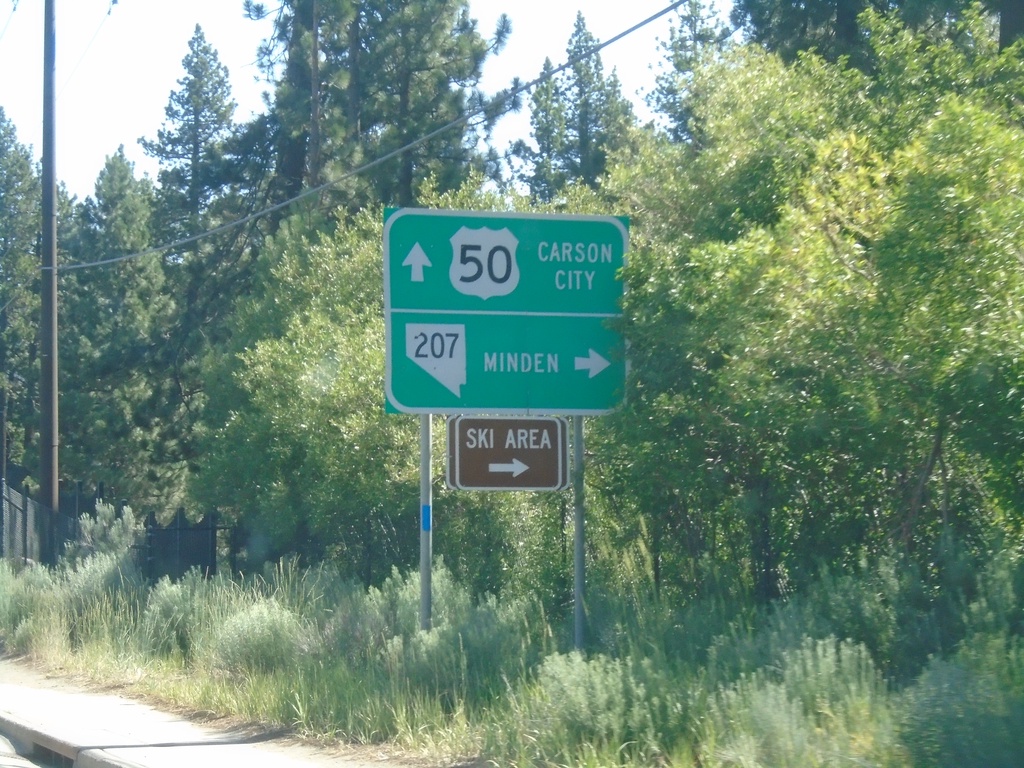
US-50 East at NV-207 East
US-50 East at NV-207 East to Minden and (Heavenly Valley) Ski Area. Continue east on US-50 for Carson City.
Taken 07-12-2021

 Stateline
Douglas County
Nevada
United States
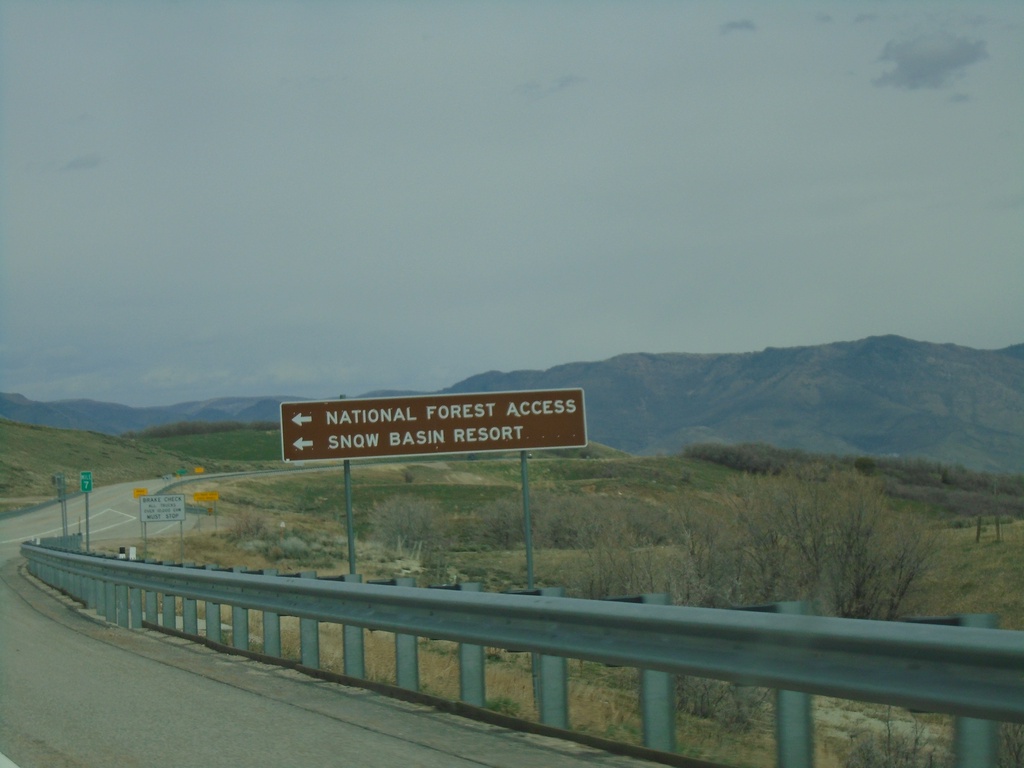
UT-167 North at UT-226
UT-167 North at UT-226 West to National Forest Access and Snow Basin Resort.
Taken 04-24-2021

 Huntsville
Weber County
Utah
United States
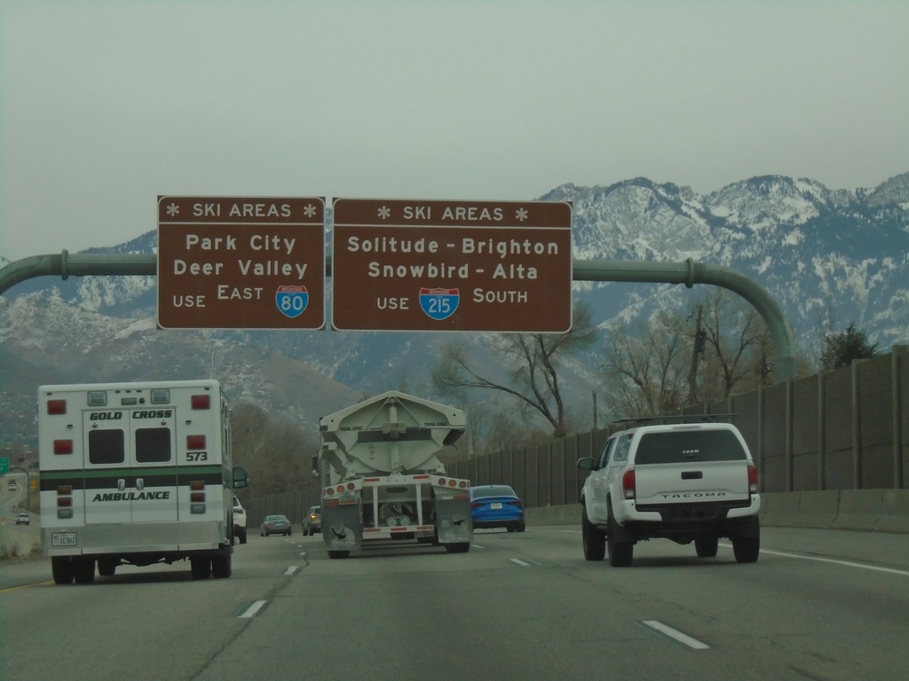
I-80 East - Ski Areas
Ski Area directions on I-80 east approaching I-215. Use I-215 South (Exit 128) for Solitude, Brighton, Snowbird, and Alta Ski Areas. Continue east on I-80 for Park City and Deer Valley Ski Areas.
Taken 12-30-2020

 Salt Lake City
Salt Lake County
Utah
United States
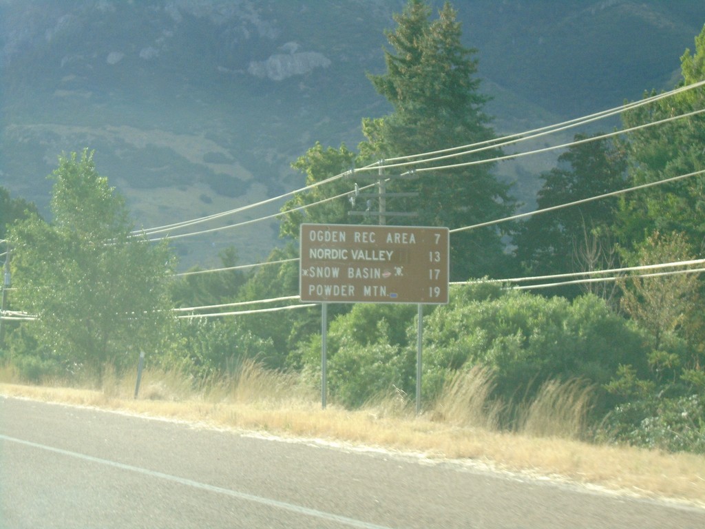
UT-39 East - Ski Areas
Distance to Ski Areas on UT-39 East. Distance to Ogden Recreation Area, Nordic Valley, Snow Basin, and Powder Mountain.
Taken 08-03-2019
 Ogden
Weber County
Utah
United States
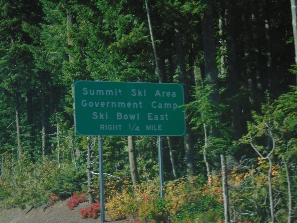
US-26 West - Government Camp
US-26 West approaching Government Camp/Summit Ski Area/Ski Bowl East.
Taken 10-13-2018
 Government Camp
Clackamas County
Oregon
United States
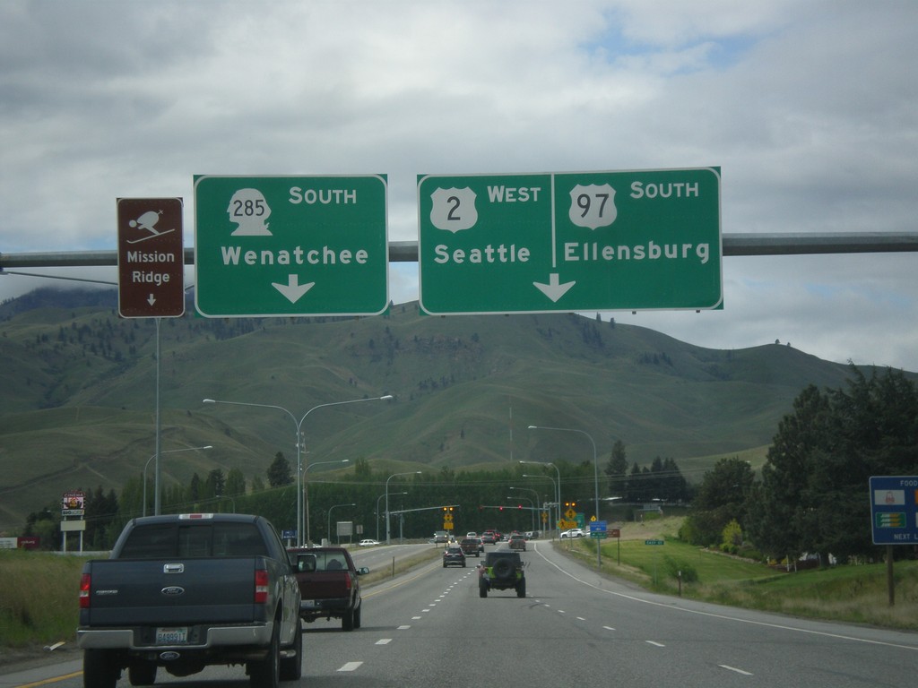
US-2 West/US-97 South Approaching WA-285
US-2 West/US-97 South approaching WA-285. Use right lane for US-2 West/US-97 South to Ellensburg and Seattle. Continue straight for WA-285 South to Wenatchee and Mission Ridge Ski Area.
Taken 04-30-2018


 Sunnyslope
Chelan County
Washington
United States
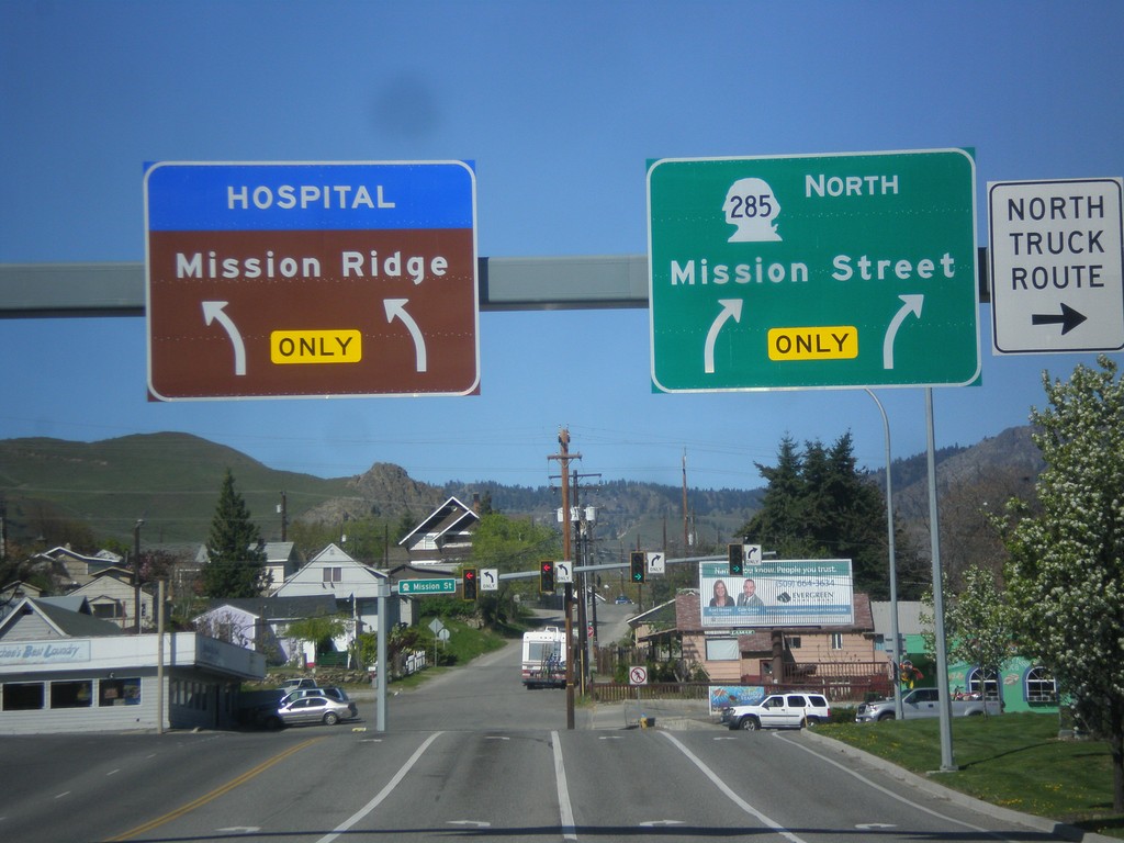
WA-285 North - Mission St. Jct.
WA-285 North (Stevens St.) at Mission St. junction. Turn right to continue north on WA-285. Turn left for Mission Ridge (Ski Area) and the hospital.
Taken 04-28-2017
 Wenatchee
Chelan County
Washington
United States
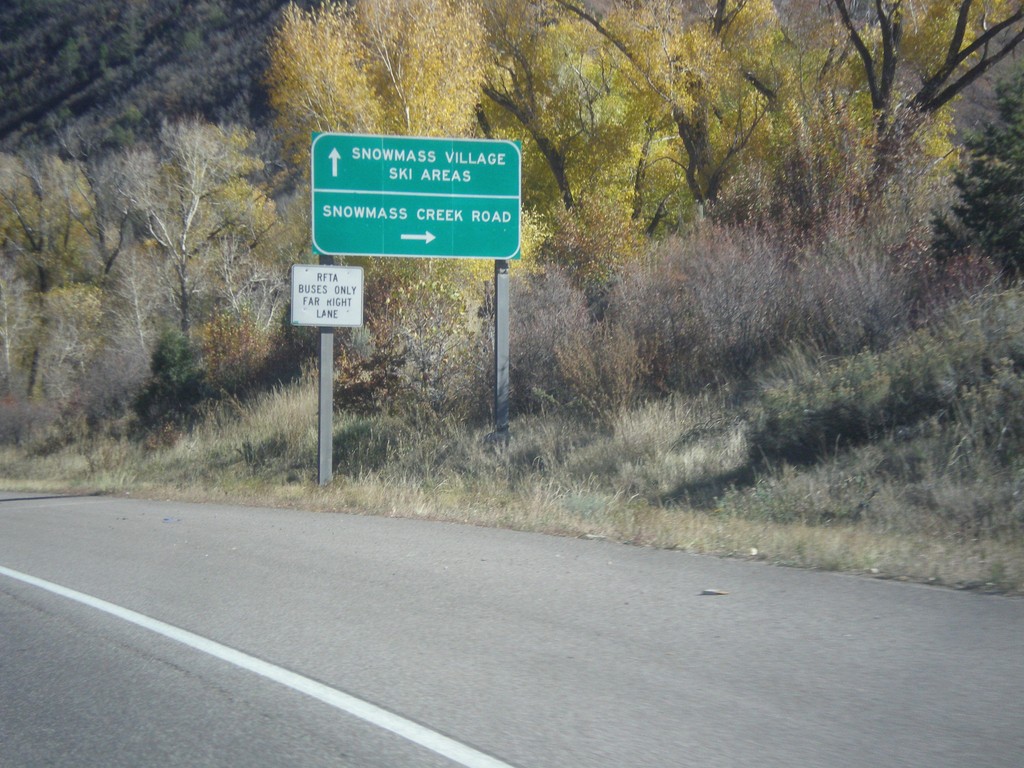
CO-82 East - Snowmass Creek Road Jct.
CO-82 east at Snowmass Creek Road. Continue east on CO-82 for Snowmass Village and Ski Areas.
Taken 10-07-2016
 Snowmass
Pitkin County
Colorado
United States
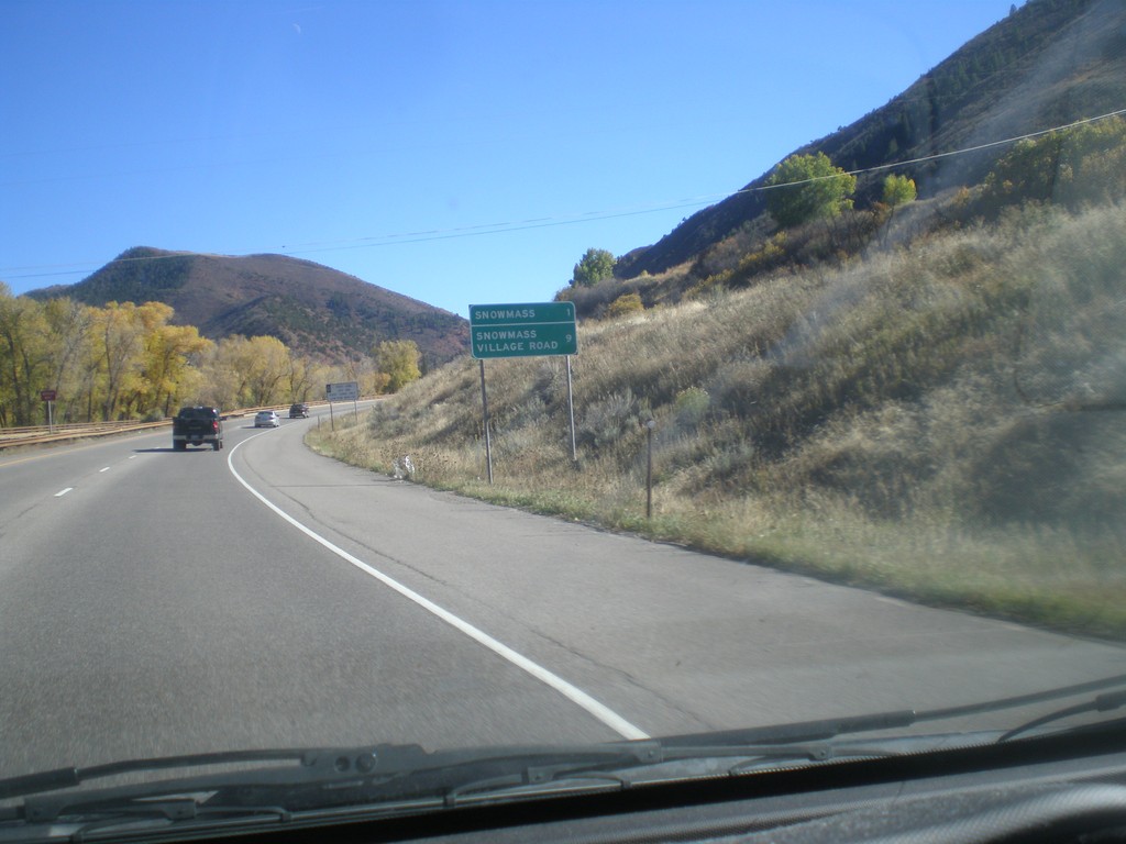
CO-82 East - Distance Marker
Distance marker on CO-82 east. Distance to Snowmass, and Snowmass Village Road.
Taken 10-07-2016
 Snowmass
Pitkin County
Colorado
United States
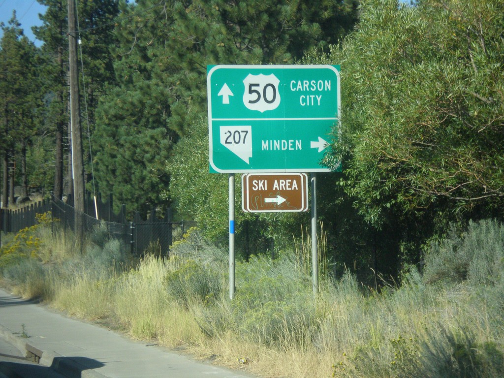
US-50 East at NV-207 East
US-50 East at NV-207 East to Minden and (Heavenly Valley) Ski Area. Continue east on US-50 for Carson City.
Taken 08-15-2016

 Stateline
Douglas County
Nevada
United States
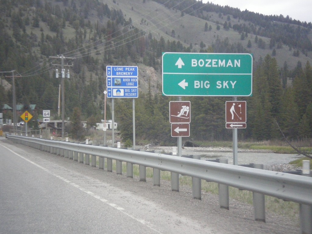
US-191 North Approaching MT-64
US-191 North approaching MT-64 to Big Sky. Continue straight on US-191 for Bozeman.
Taken 05-08-2015

 Big Sky
Gallatin County
Montana
United States
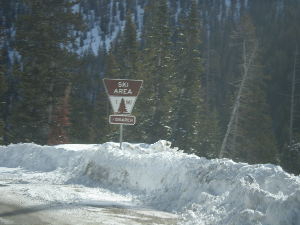
US-50 East Approaching Monarch Mountain
US-50 east approaching Monarch Mountain Ski Area. All ski areas and points of interest in Colorado use this type of sign.
Taken 03-29-2014
 Salida
Chaffee County
Colorado
United States
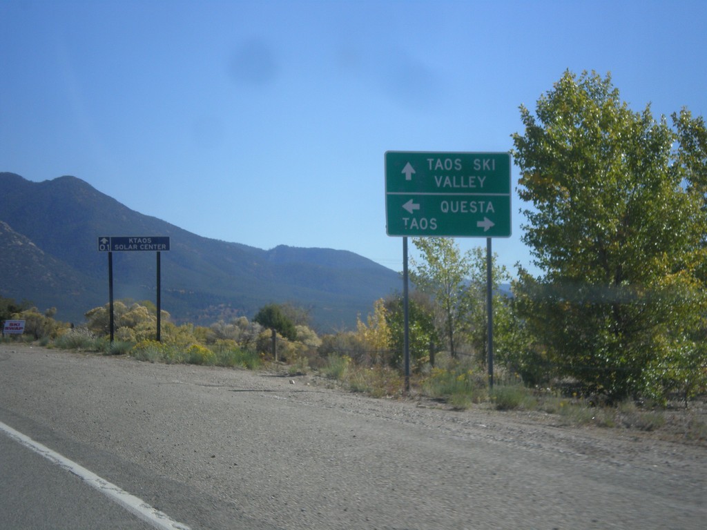
US-64 East Approaching NM-150/NM-522
US-64 East approaching NM-150/NM-522. Turn right for US-64 east to Taos; ahead for NM-150 to Taos Ski Valley; left for NM-522 to Questa.
Taken 10-14-2012


 El Prado
Taos County
New Mexico
United States
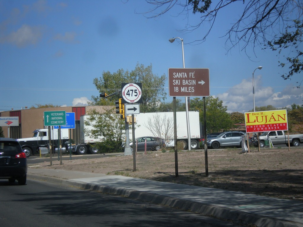
US-84 West/US-285 North at NM-475
US-84 West/US-285 North at NM-475 (Paseo de Peralta). Turn right on NM-475 for Santa Fe Ski Basin.
Taken 10-12-2012


 Santa Fe
 County
New Mexico
United States
Santa Fe
Santa Fe County
New Mexico
United States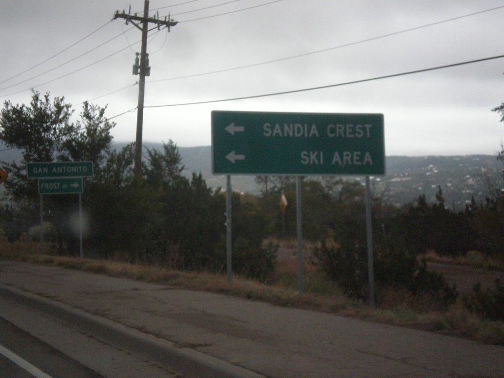
NM-14 North at NM-306/NM-536
NM-14 north at NM-536 west to Sandia Crest Ski Area. Turn right for NM-306, Frost Road. Entering the community of San Antonito.
Taken 10-12-2012


 Sandia Park
Bernalillo County
New Mexico
United States
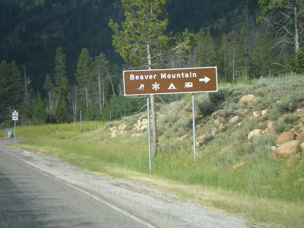
US-89 South Approaching UT-243
US-89 south approaching UT-243 towards Beaver Mountain Ski Area. Beaver Mountain Ski Area is located in the Wasatch Range just east of Logan, Utah.
Taken 08-02-2010

 Garden
Rich County
Utah
United States
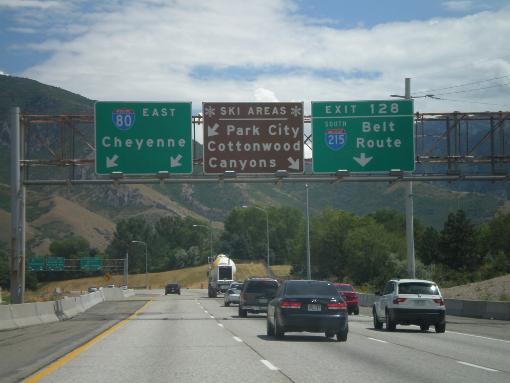
I-80 East - Ski Areas
I-80 east approaching Exit 118 - I-215 South/Belt Route. A sign informs which exit to take for local ski areas. Use I-215 south for Cottonwood Canyons. Continue on I-80 east towards Cheyenne for Park City.
Taken 07-31-2010

 Salt Lake City
Salt Lake County
Utah
United States
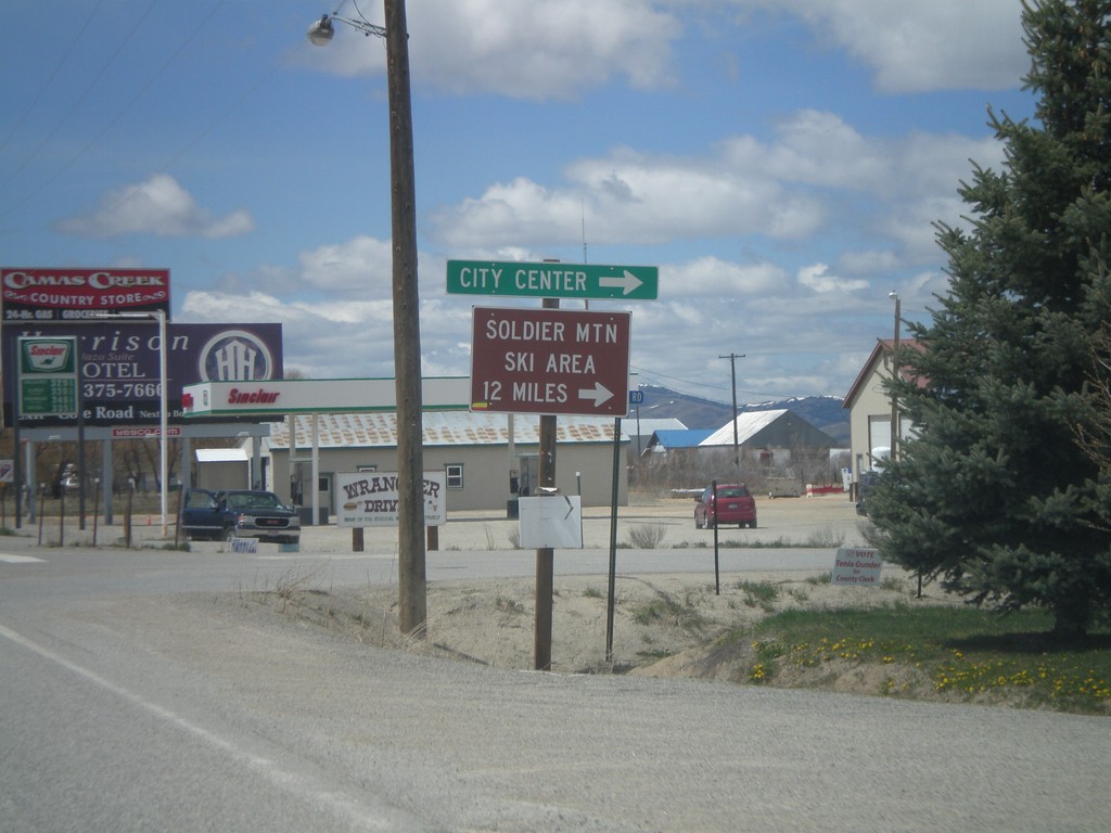
US-20 East - Fairfield City Center
US-20 east at the Fairfield City Center. Turn north for Soldier Mountain Ski Area.
Taken 05-02-2010
 Fairfield
Camas County
Idaho
United States
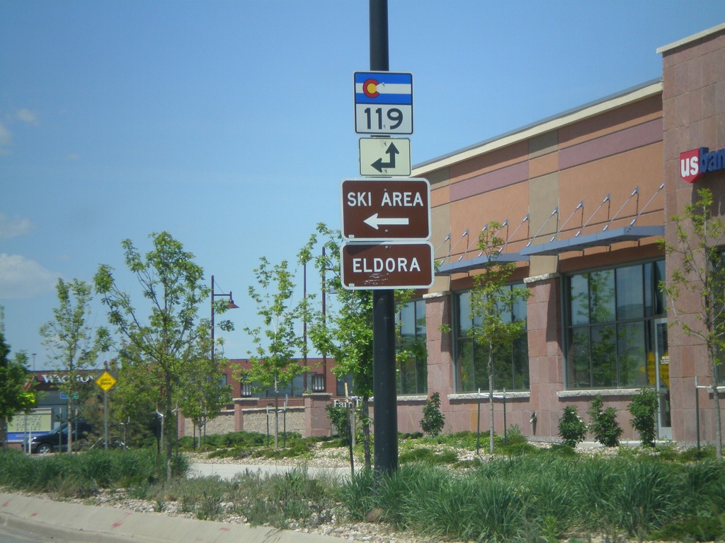
US-36 West at CO-119 West
US-36 west at CO-119 west. CO-119 east joins US-36 through Boulder.
Taken 05-17-2008

 Boulder
 County
Colorado
United States
Boulder
Boulder County
Colorado
United States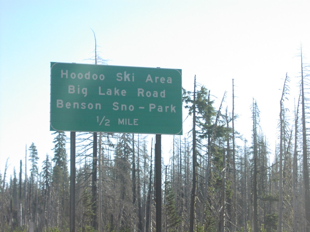
US-20 East - Hoodoo Ski Area
US-20/OR-126 east approaching Hoodoo Butte Ski Area/Big Lake Road/Benson Snow Park, 1/2 mile.
Taken 10-01-2006

 Sisters
Linn County
Oregon
United States
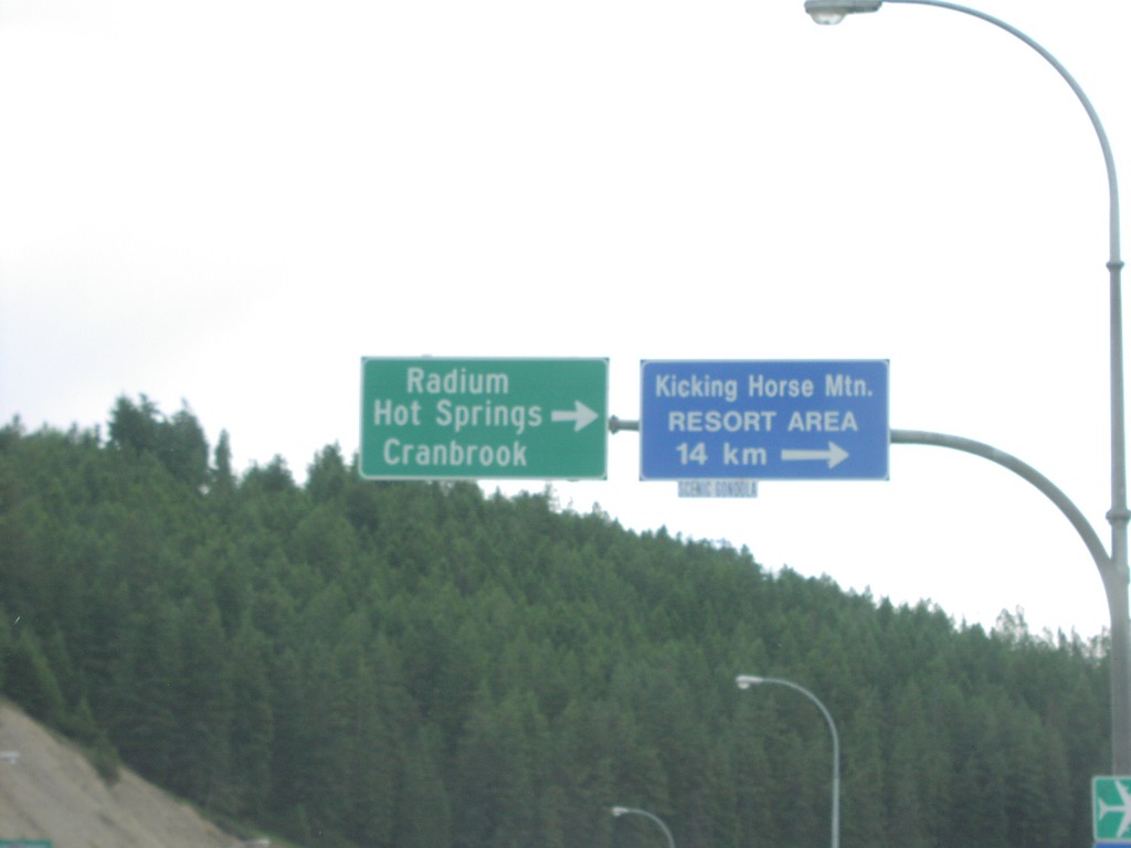
TC-1 East at BC-95 South Jct.
TC-1 east at BC-95 south to Radium Hot Springs and Cranbrook.
Taken 06-01-2006

 Golden
Columbia-Shuswap
British Columbia
Canada
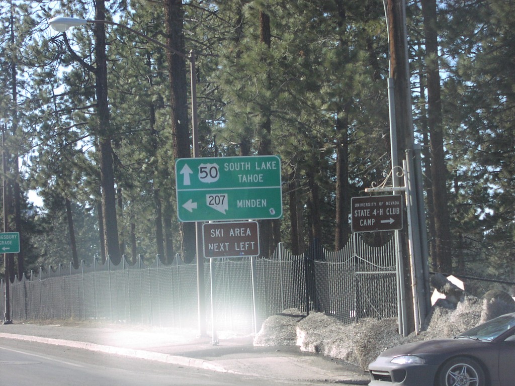
US-50 West at NV-207 East
US-50 west at NV-207/Kingsbury Grade junction in Stateline.
Taken 02-01-2005

 Stateline
Douglas County
Nevada
United States