Signs Tagged With Speed Limit
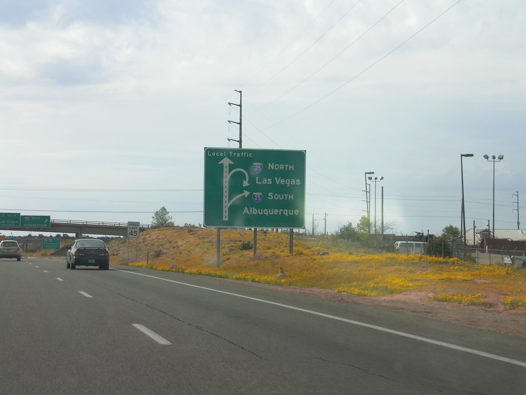
US-84/US-285 South Approaching I-25
US-84/US-285 South (St. Francis Drive) approaching I-25 in Santa Fe. Sign assembly uses a route diagram. Use I-25 north for Las Vegas; use I-25 south for Albuquerque.
Taken 10-04-2011


 Santa Fe
 County
New Mexico
United States
Santa Fe
Santa Fe County
New Mexico
United States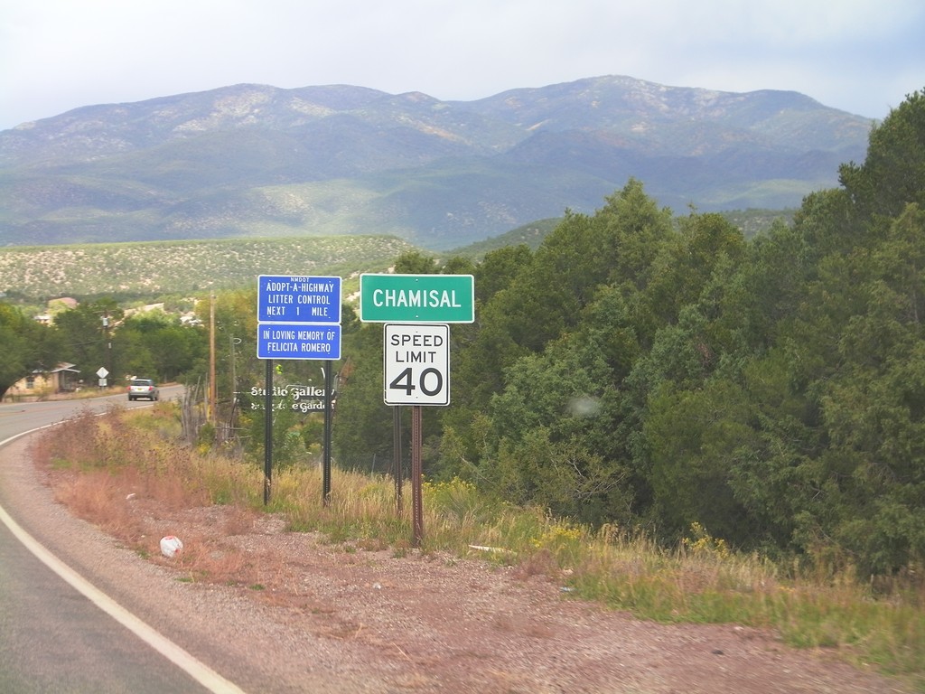
NM-76 North - Entering Chamisal
Entering Chamisal on NM-76 north. Speed Limit 40 MPH through Chamisal.
Taken 10-03-2011
 Chamisal
Taos County
New Mexico
United States
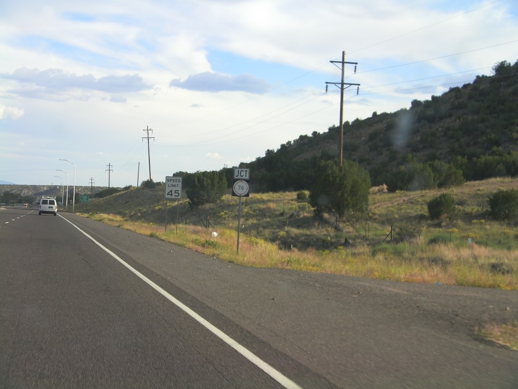
US-84/US-285 South Approaching NM-74
US-84/US-285 South approaching NM-74 near El Duende.
Taken 10-02-2011


 Hernandez
Rio Arriba County
New Mexico
United States
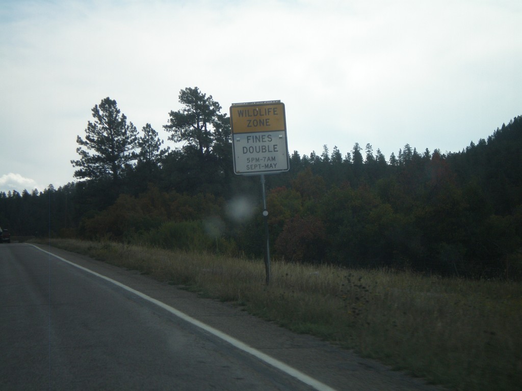
US-160 East - Wildlife Zone
Wildlife Zone on US-160 east in Archueta County. Fines double for any speed violations in the Wildlife Zone between 5PM and 7AM September through May.
Taken 10-02-2011
 Pagosa Springs
Archuleta County
Colorado
United States
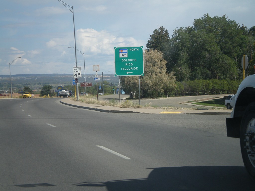
US-160 East at CO-145 North
US-160 east at CO-145 north to Dolores, Rico, and Telluride in Cortez.
Taken 10-02-2011

 Cortez
Montezuma County
Colorado
United States
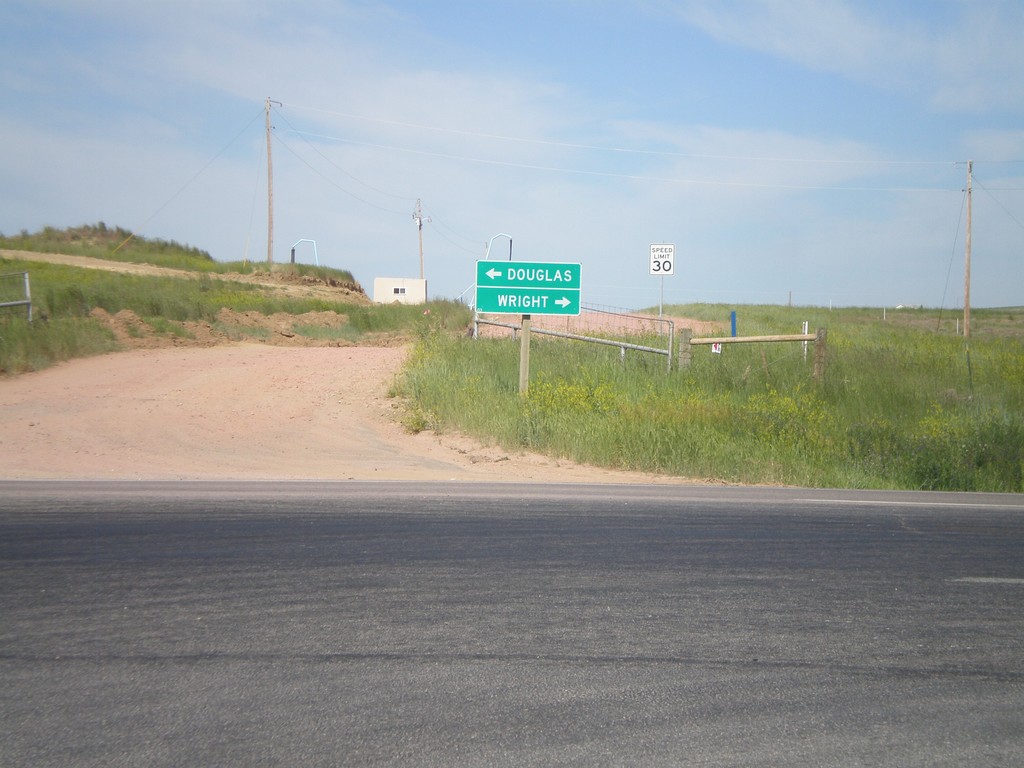
End WY-450 West at WY-59
End WY-450 West at WY-59. Use WY-59 south for Douglas; use WY-59 north for Wright.
Taken 07-04-2011

 Gillette
Campbell County
Wyoming
United States
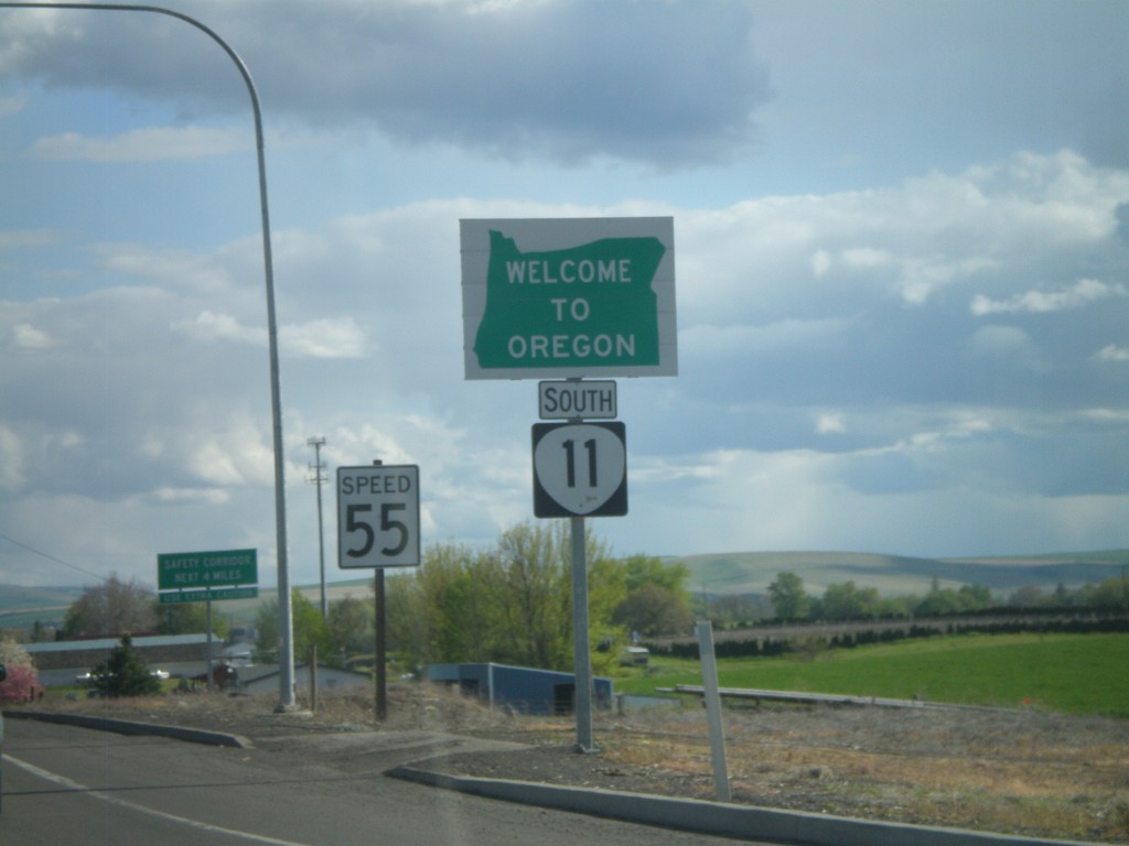
OR-11 South - Welcome To Oregon
Welcome to Oregon on OR-11 south at the Washington-Oregon state line. Also the first speed limit sign in Oregon is in the background - 55 MPH. Most Oregon speed limit signs omit the word Limit.
Taken 04-28-2011
 Milton-Freewater
Umatilla County
Oregon
United States
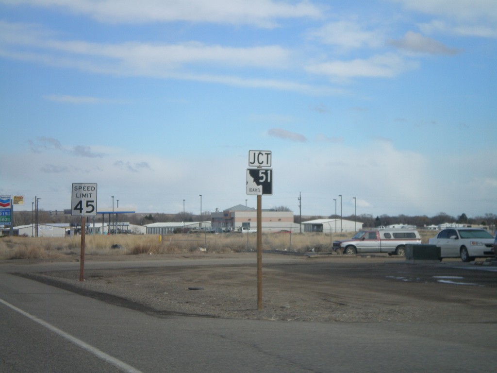
ID-67 East Approaching ID-51
ID-67 east approaching ID-51 junction.
Taken 02-07-2011

 Mountain Home
Elmore County
Idaho
United States
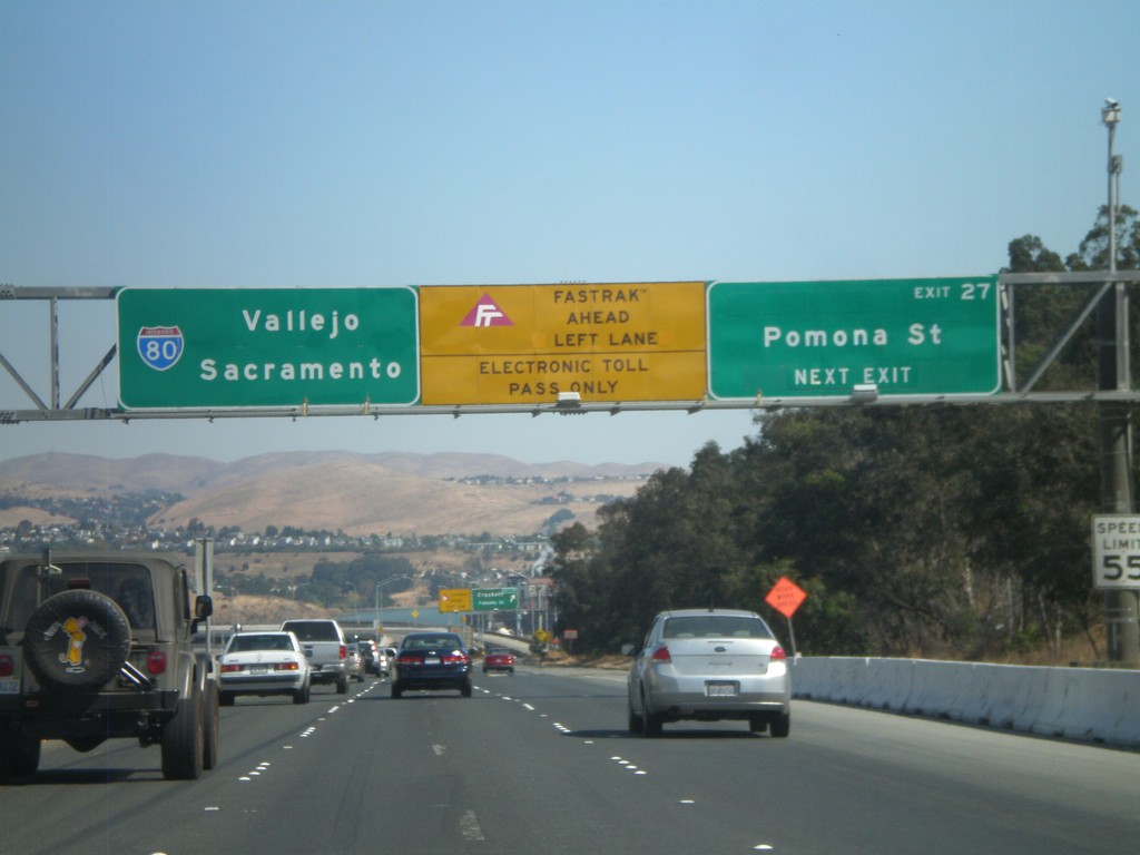
I-80 East - Exit 27
I-80 east approaching Exit 27 - Pomona St. After this exit the highway enters the Carquinez Bridge over the Carquinez Straits, which feeds the Sacramento and San Joaquin Rivers into the San Francisco Bay. Use the left lanes for Fastrak, an electronic tolling system used in California.
Taken 10-01-2010
 Crockett
Contra Costa County
California
United States
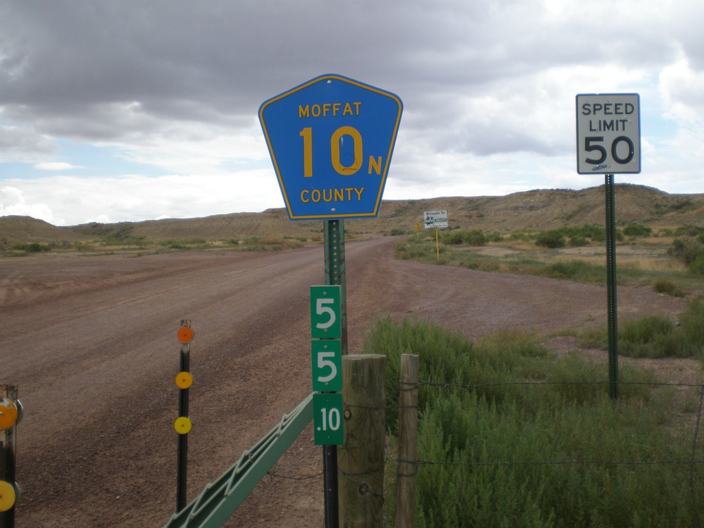
Moffat County 10N - Wyoming-Colorado State Line
Moffat County 10N at the Wyoming-Colorado State Line. The mile marker below the highway shield is a standard Wyoming mile marker, and is for WY-430.
Taken 08-01-2010
 Sweetwater County
Wyoming
United States