Signs Tagged With Speed Limit
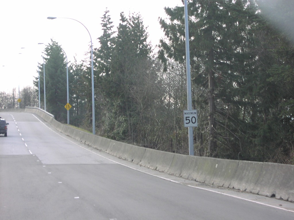
TC-1 East - Maximum 50 km/h
Maximum 50 km/h at East End of Horseshoe Bay Ferry Terminal.
Taken 01-01-2004
 West Vancouver
Metro Vancouver
British Columbia
Canada
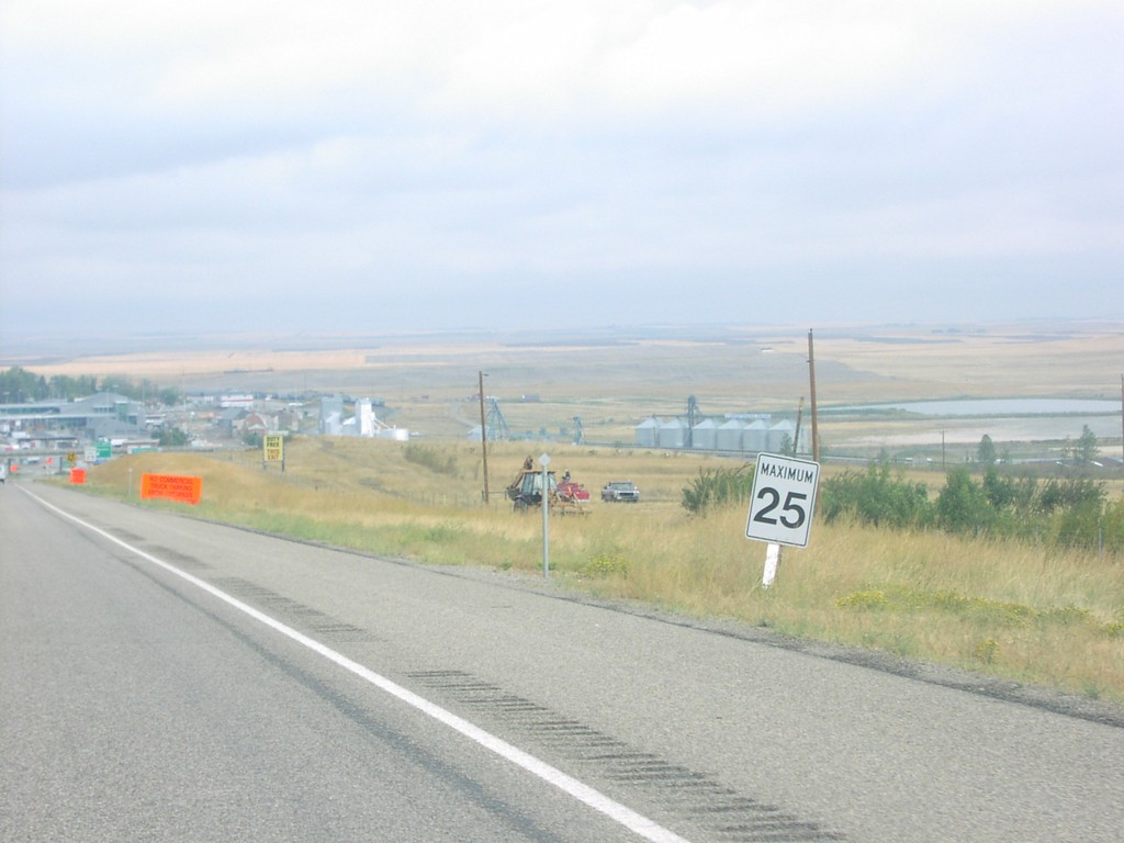
I-15 - Maximum 25
Canadian Speed Limit Zone Approaching Customs Canada Construction Area on I-15 North.
Taken 09-01-2003
 Sweet Grass
Toole County
Montana
United States
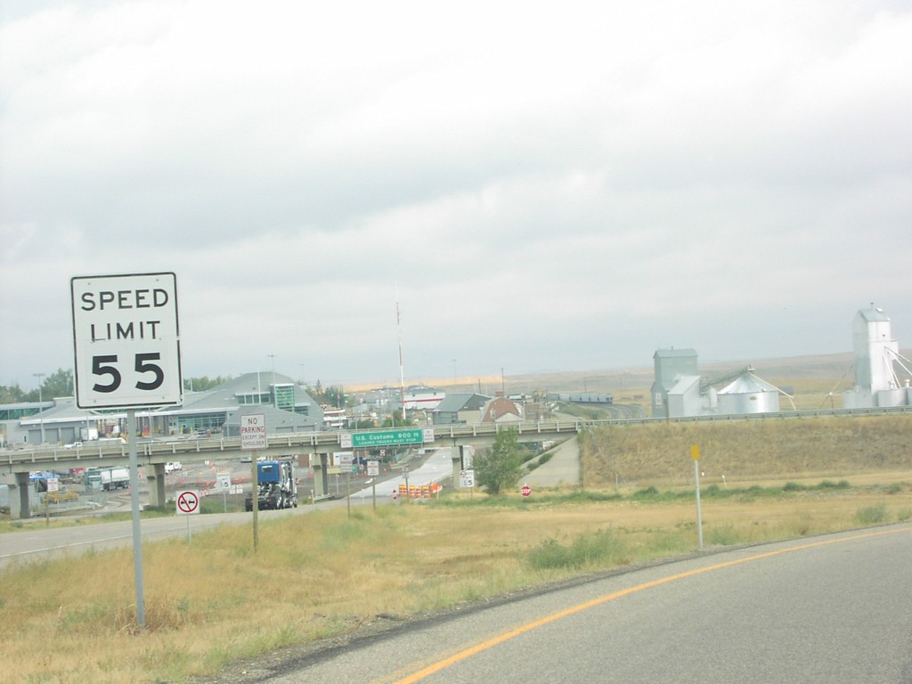
I-15 North at Canada Border
View of US-Canada Border at Northern Terminus of I-15
Taken 09-01-2003
 Sweet Grass
Toole County
Montana
United States
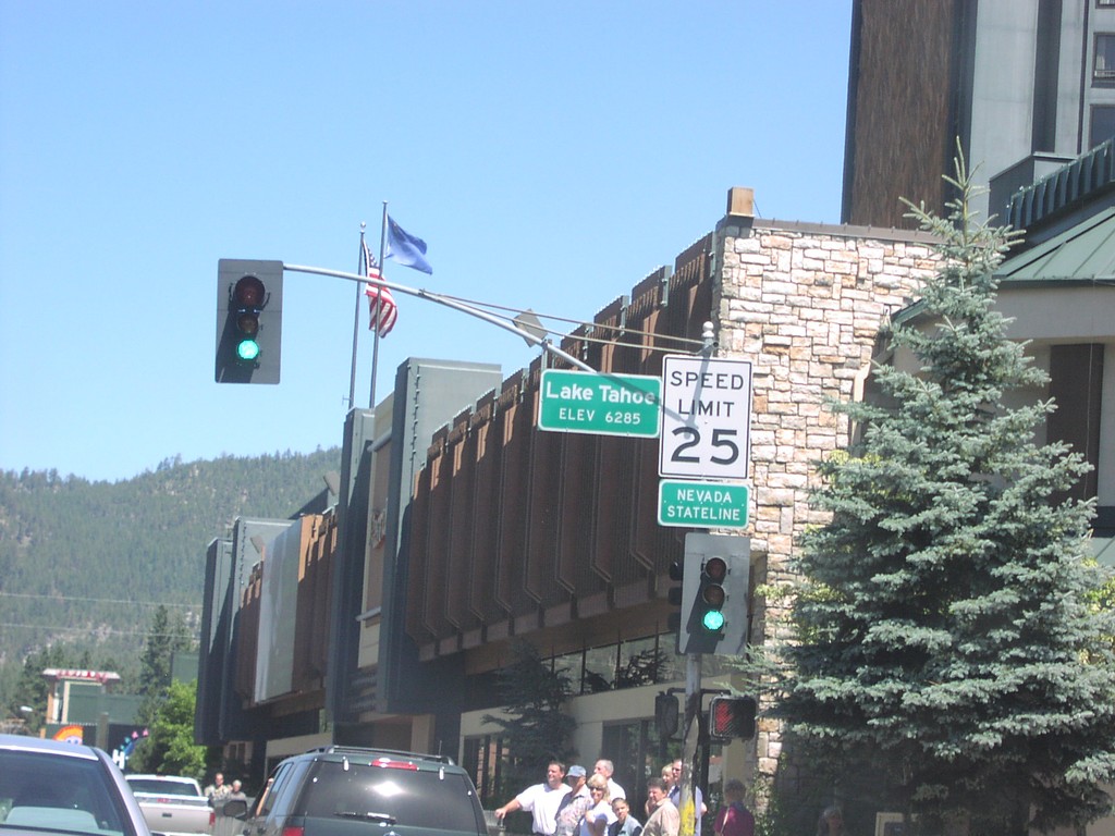
US-50 East - Nevada State Line
US-50 east at the California-Nevada state line.
Taken 08-01-2003
 Stateline
Douglas County
Nevada
United States
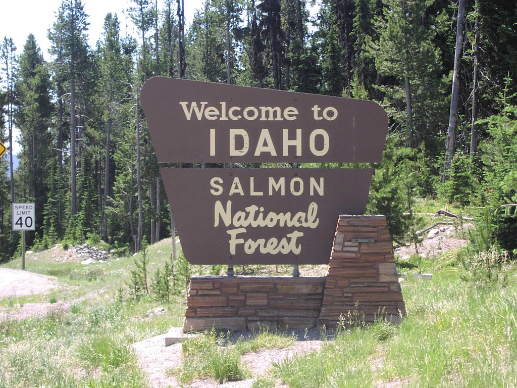
US-93 - Welcome To Idaho
Welcome To Idaho/Salmon National Forest at Lost Trail Pass
Taken 07-01-2003
 Gibbonsville
Lemhi County
Idaho
United States
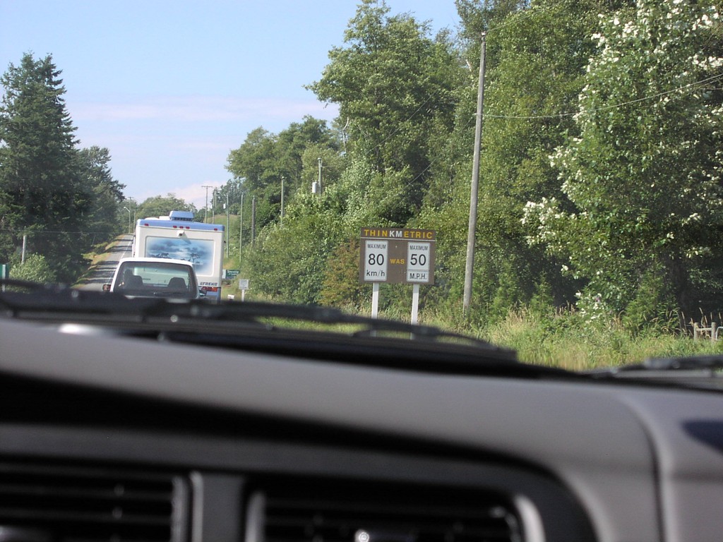
BC-13 North - Think Metric
Think Metric Sign at USA-Canada Border on BC-13 North.
Taken 08-01-2002
 Langley Township
Metro Vancouver
British Columbia
Canada
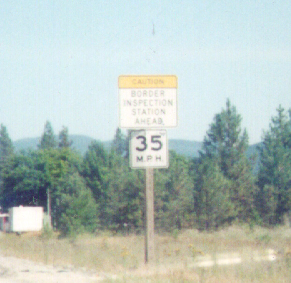
US-395 North Approaching Canadian Border - Laurier
US-395 North approaching the United States - Canada Border. The United States side is Port of Laurier; the Canadian side is Port of Cascade.
Taken 08-01-2000
 Laurier
Ferry County
Washington
United States
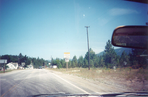
US-395 North Approaching United States - Canada Border
US-395 North approaching the United States - Canada Border. The United States side is Port of Laurier; the Canadian side is Port of Cascade.
Taken 08-01-2000
 Laurier
Ferry County
Washington
United States
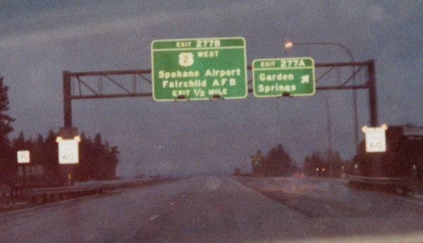
I-90 East Exit 277AB
I-90 east at Exit 277B - US-2 West/Spokane Airport/Fairchild AFB and Exit 277A - Garden Springs. This was taken on a snowy morning.
Taken 03-01-2000


 Spokane
 County
Washington
United States
Spokane
Spokane County
Washington
United States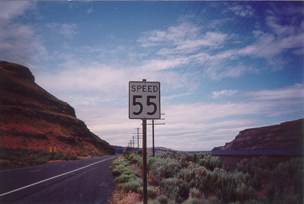
US-730 West - Speed 55
US-730 West - Speed 55 in Umatilla County. This is a standard type of speed limit sign in Oregon, especially on two lane highways. The idea is that only the world Speed (and not limit) invokes the Oregon Basic Speed Law instead of a hard and fast limit.
Taken 06-01-1999
 Hermiston
Umatilla County
Oregon
United States