Signs Tagged With Speed Limit
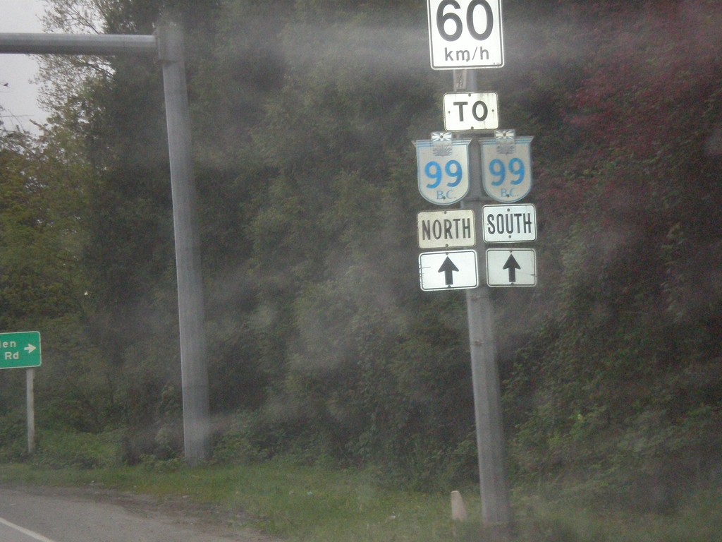
Sea Island Way East Approaching BC-99
Sea Island Way East Approaching BC-99 in Richmond. Speed Limit 60 km/h.
Taken 04-29-2017
 Richmond
Metro Vancouver
British Columbia
Canada
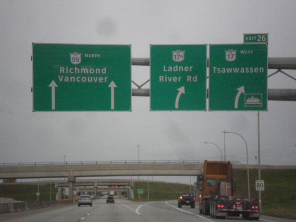
BC-99 - Exit 26
BC-99 north at Exit 26 - BC-17 West/Tsawwassen/BC-17A/Ladner River Road. Continue north on BC-99 for Richmond and Vancouver. Use BC-17 West for the Tsawwassen Ferry Terminals.
Taken 04-29-2017


 Delta
Metro Vancouver
British Columbia
Canada
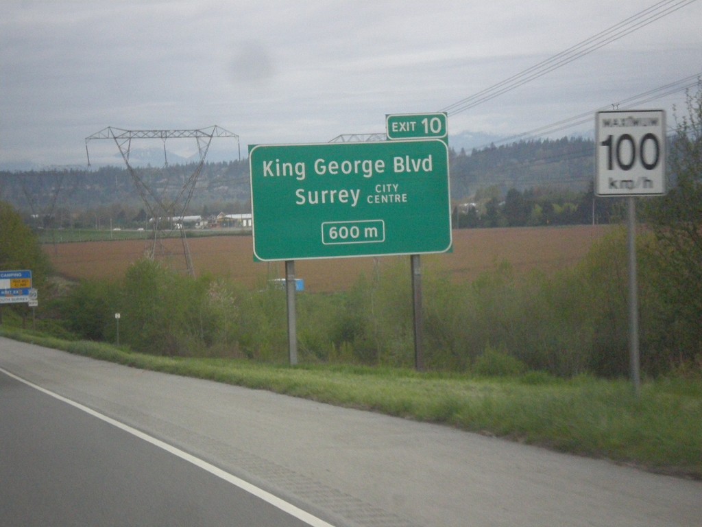
BC-99 North - Exit 10
BC-99 north approaching Exit 10 - King George Blvd/Surrey City Center. Speed Limit - 100 km/h.
Taken 04-29-2017
 Surrey
Metro Vancouver
British Columbia
Canada
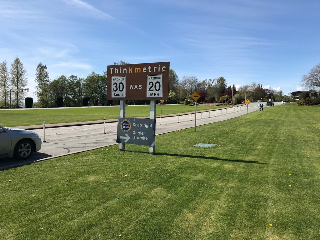
BC-99 North - Think Metric
BC-99 North at US/Canada border. Think metric - 30 km/h was 20 MPH. A smaller sign below that instructs Nexus traffic to keep right.
Taken 04-28-2017
 Surrey
Metro Vancouver
British Columbia
Canada
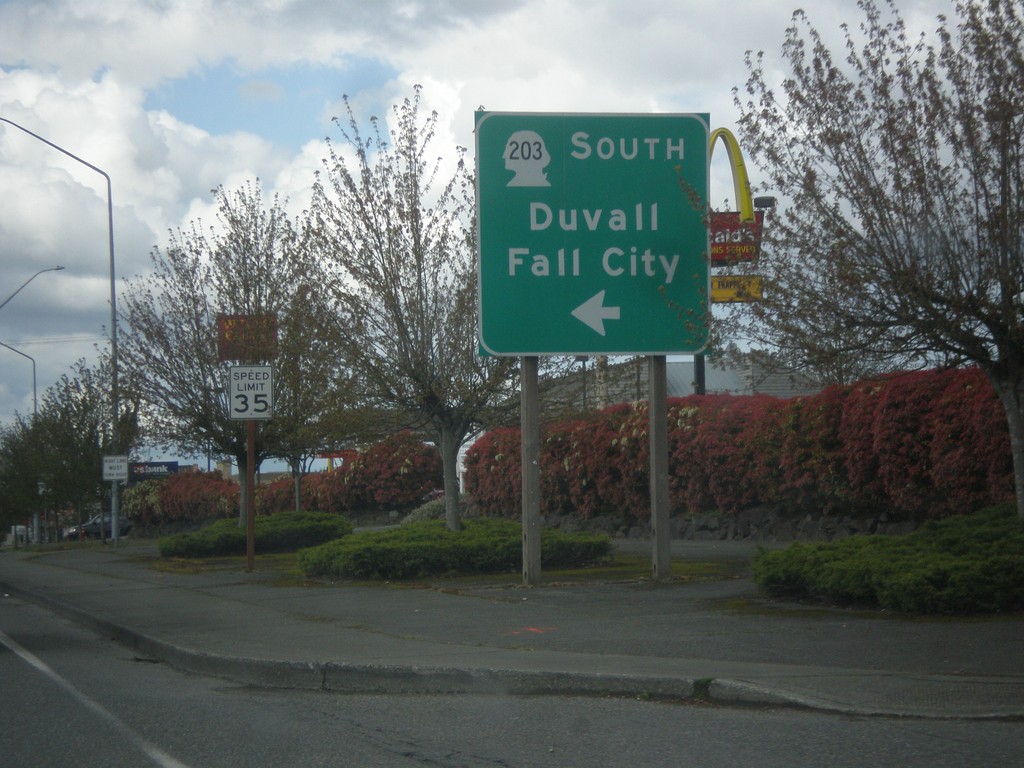
US-2 West at WA-203 South
US-2 West at WA-203 South to Duvall and Fall City.
Taken 04-28-2017

 Monroe
Snohomish County
Washington
United States
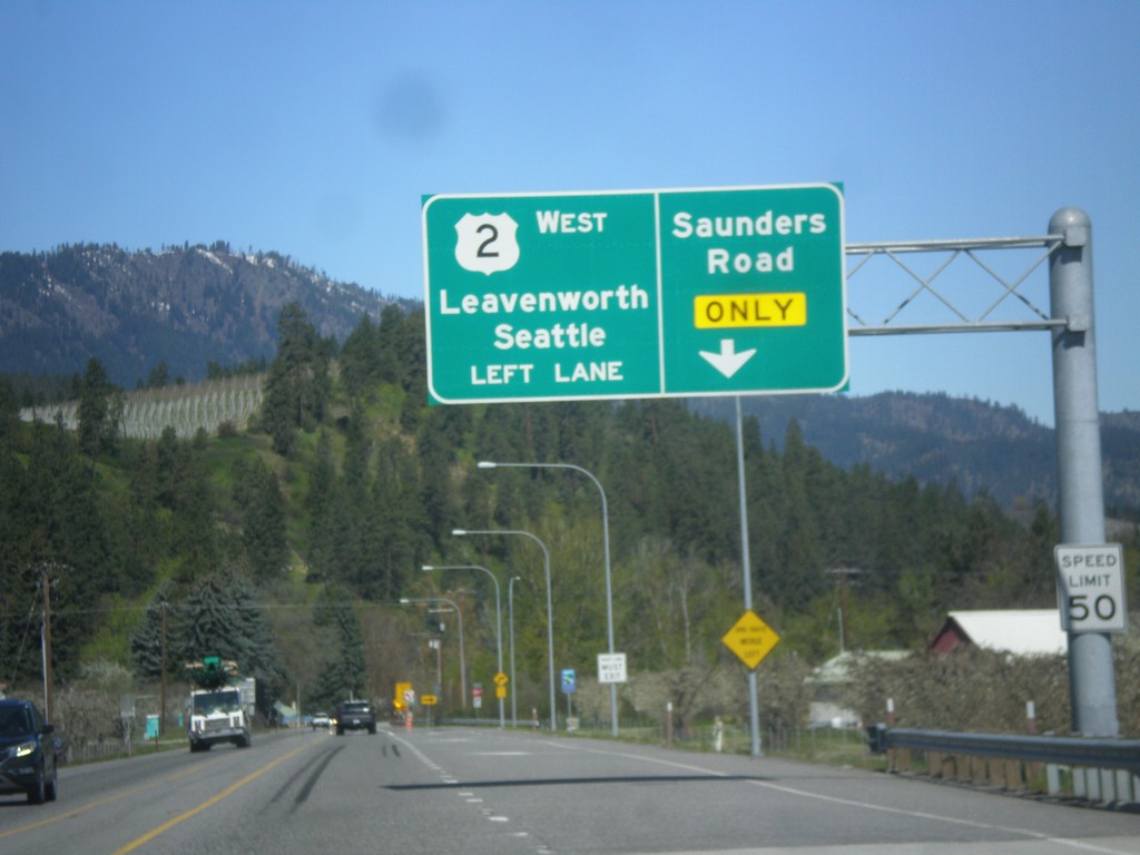
US-2 West Approaching Saunders Road
US-2 west approaching Saunders Road. Use right lane for Saunders Road. Continue west on US-2 for Leavenworth and Seattle.
Taken 04-28-2017
 Peshastin
Chelan County
Washington
United States
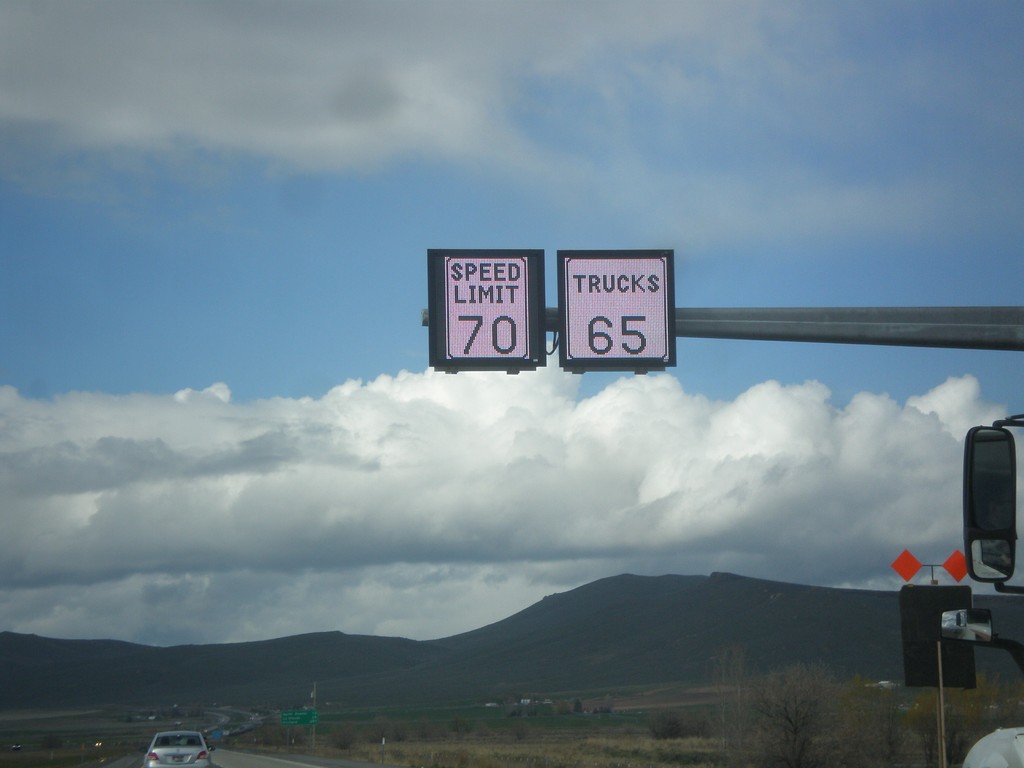
I-84 West - Variable Speed Limits
Variable Speed Limit sign on I-84 West, just outside of Baker City. The stretch of I-84 between Baker City and Ladd Canyon converted to variable speed limits in 2016.
Taken 04-27-2017
 Baker City
Baker County
Oregon
United States
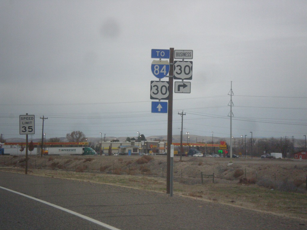
OR-201 North at Bus. US-30 East
OR-201 North at Bus. US-30 East. Continue north on OR-201 for I-84 and US-30.
Taken 11-19-2016


 Ontario
Malheur County
Oregon
United States
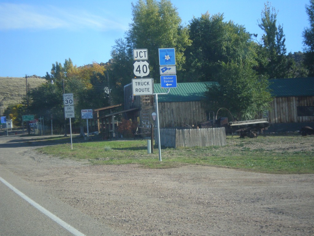
Jct. US-40 on CO-64 North
Jct. US-40 at western end of CO-64 in Dinosaur. Turn left for the Dinosaur Diamond Scenic Byway.
Taken 10-09-2016

 Dinosaur
Moffat County
Colorado
United States
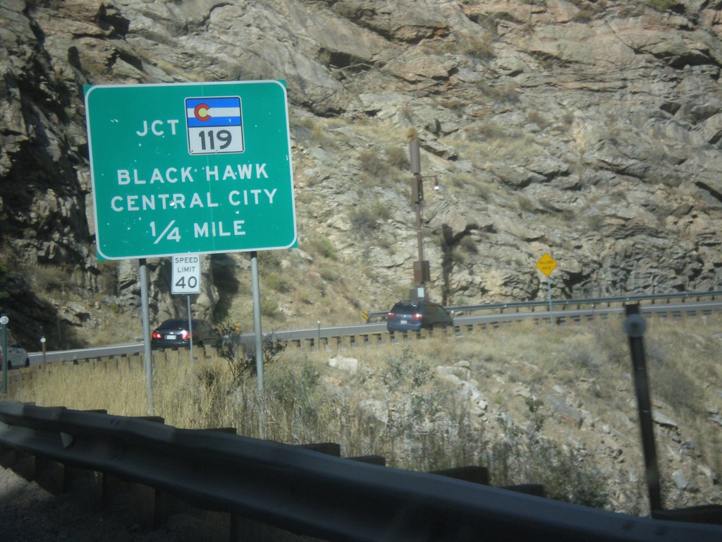
US-6 East at CO-119
US-6 East at CO-119. Turn left for CO-119 West to Black Hawk and Central City.
Taken 10-08-2016

 Golden
Clear Creek County
Colorado
United States
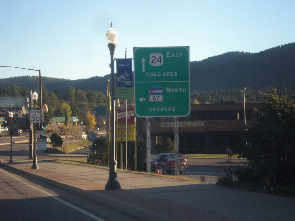
US-24 East/CO-67 North at CO-67 North
US-24 East/CO-67 North at CO-67 North to Deckers. Continue east on US-24 for Colorado Springs.
Taken 10-08-2016

 Woodland Park
Teller County
Colorado
United States
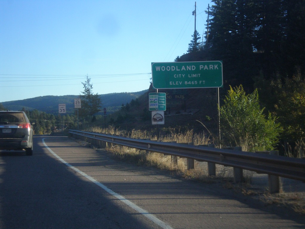
US-24 East - Woodland Park
Entering the city of Woodland Park on US-24 east.
Taken 10-08-2016
 Woodland Park
Teller County
Colorado
United States
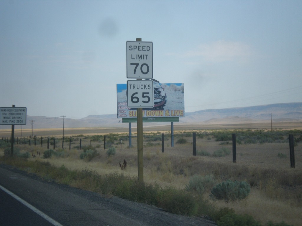
US-95 North - Speed Limit
Speed Limit 70 MPH/Truck Speed 65 MPH on US-95 north - just north of the Nevada line. The state of Oregon recently raised the speed limit on the stretch of highway from 55 MPH to 70 MPH in the spring of 2016. Until then all non rural interstate highways in Oregon were limited at 55 MPH.
Taken 08-16-2016
 McDermitt
Malheur County
Oregon
United States
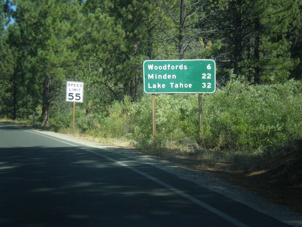
CA-89 North - Distance Marker
Distance marker on CA-89 north. Distance to Woodfords, Minden (Nevada), and Lake Tahoe.
Taken 08-12-2016
 Markleeville
Alpine County
California
United States
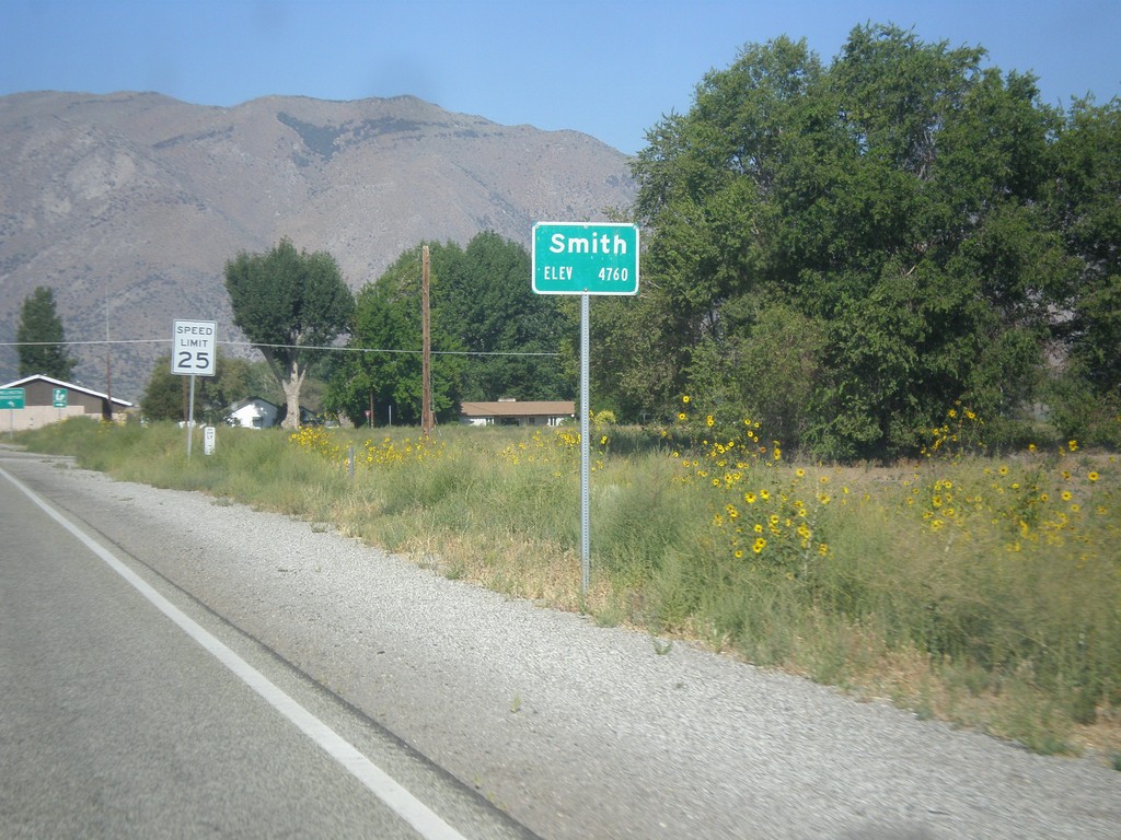
NV-208 West - Smith
Entering Smith on NV-208 west.
Taken 08-12-2016
 Smith Valley
Lyon County
Nevada
United States
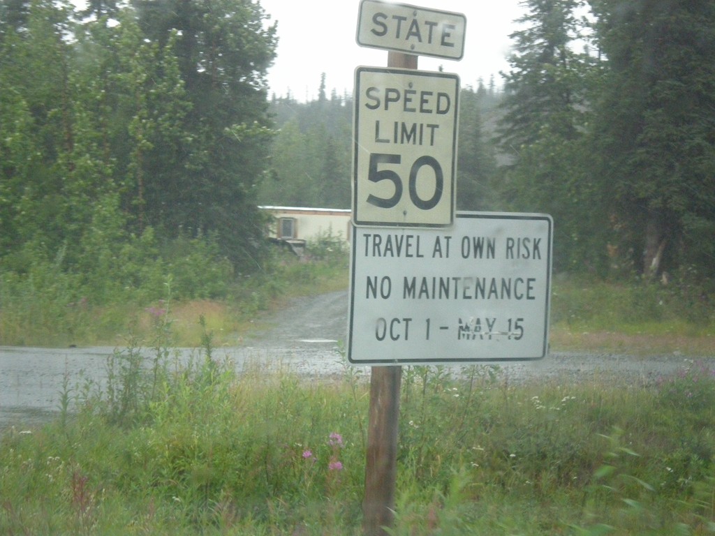
AK-8 West - State Speed Limit
AK-8 West (Denali Highway) - State Speed Limit 50 MPH. Denali Highway is closed durning the winter months. The first 20 miles from Paxson to Tangle Lakes are paved. The remaining 114 miles are gravel.
Taken 07-22-2016
 Delta Junction
Copper River Census Area
Alaska
United States
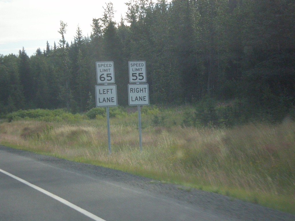
AK-1 North - Passing Lane Speeds
Passing lane with different speed per lane on AK-1 north between Turnagain Pass and Girdwood. There are a few passing lanes near Turnagain Pass that have a faster speed limit on the passing lane than in the right lane.
Taken 07-20-2016
 Moose Pass
Kenai Peninsula Borough
Alaska
United States
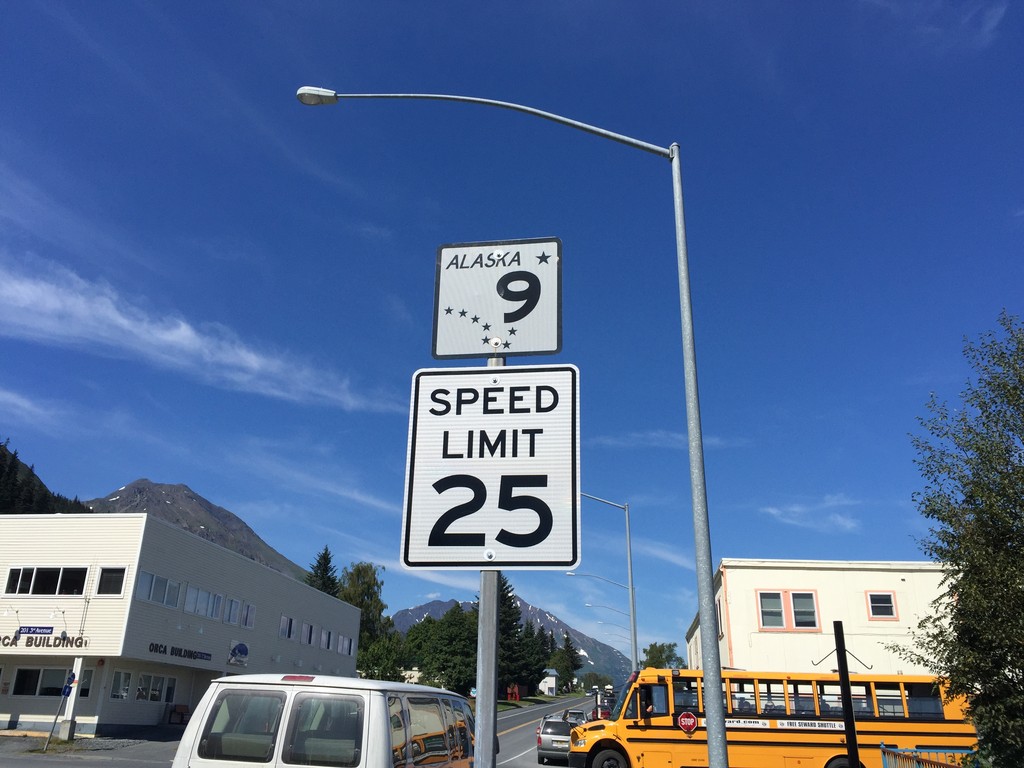
AK-9 North - Seward
First AK-9 shield northbound along 3rd Ave. in Seward. Speed limit 25 MPH.
Taken 07-17-2016
 Seward
Kenai Peninsula Borough
Alaska
United States
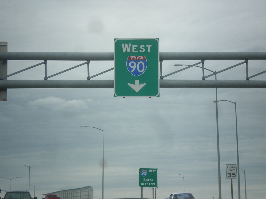
King Ave. West Approaching I-90 West
King Ave. West Approaching I-90 West in Billings.
Taken 05-15-2016


 Billings
Yellowstone County
Montana
United States
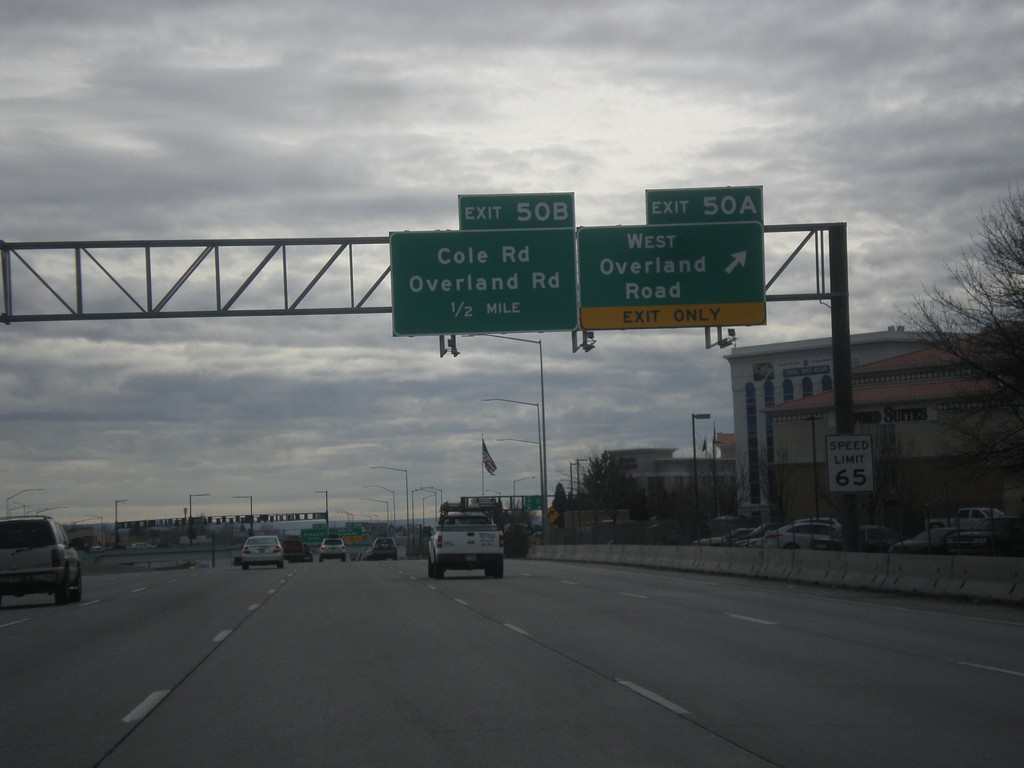
I-84 East Exits 50AB
I-84 east at Exit 50A - West Overland Road. Approaching Exit 50B - Overland Road/Cole Road.
Taken 02-06-2016

 Boise
Ada County
Idaho
United States
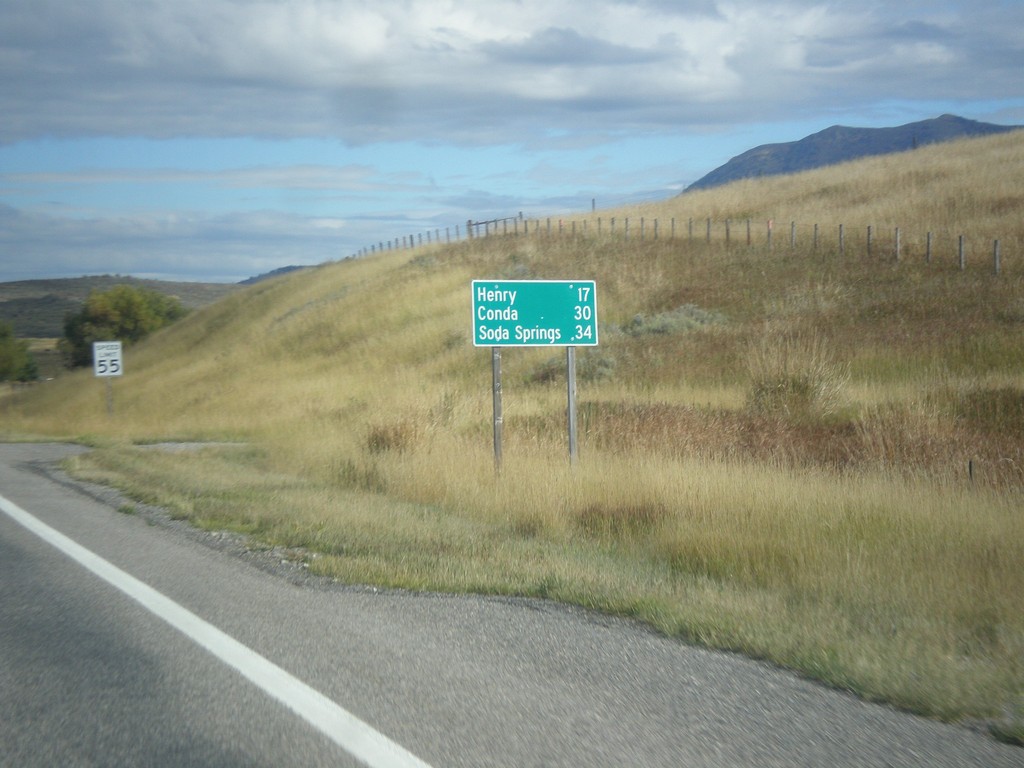
ID-34 South - Distance Marker
Distance marker on ID-34 south. Distance to Henry, Conda, and Soda Springs.
Taken 10-04-2015
 Wayan
Caribou County
Idaho
United States
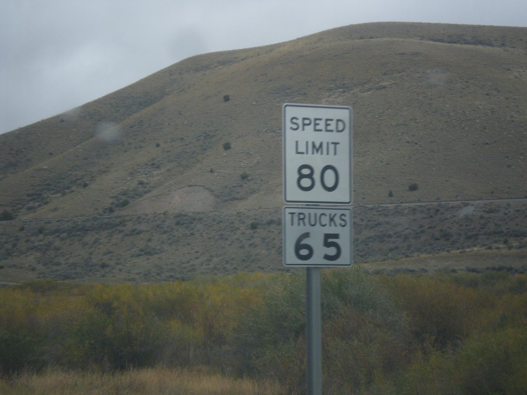
I-15 North - Speed Limit 80
Speed Limit 80 / Trucks 65 on I-15 north. Montana raised their speed limits to 80 MPH on rural interstates on October 1st 2015.
Taken 10-03-2015
 Dillon
Beaverhead County
Montana
United States
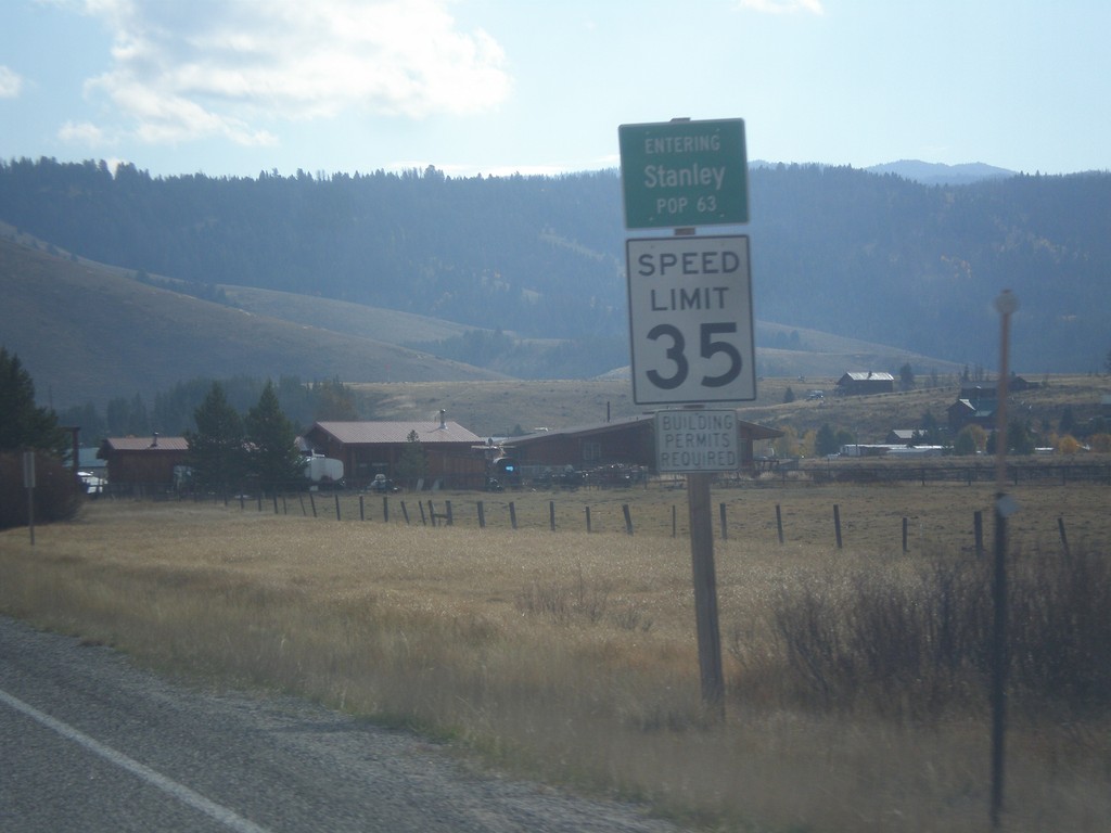
ID-21 East - Entering Stanley
Entering Stanley on ID-21 East - Population 63. Speed Limit 35 MPH.
Taken 10-03-2015
 Stanley
Custer County
Idaho
United States
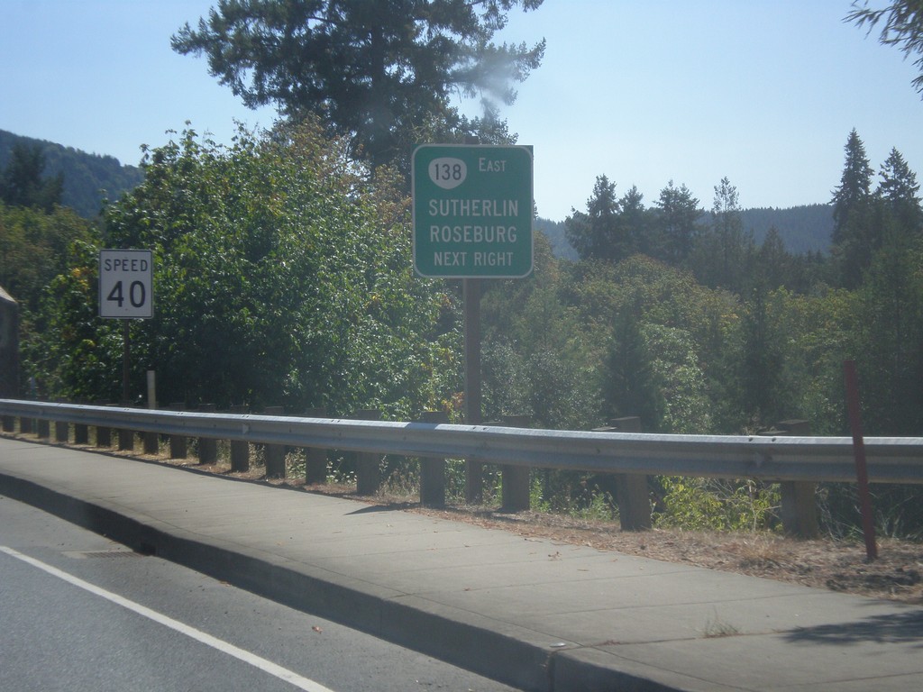
OR-38 East Approaching OR-138
OR-38 East Approaching OR-138 in Elkton. Use OR-138 east for Sutherlin and Roseburg.
Taken 08-22-2015

 Elkton
Douglas County
Oregon
United States
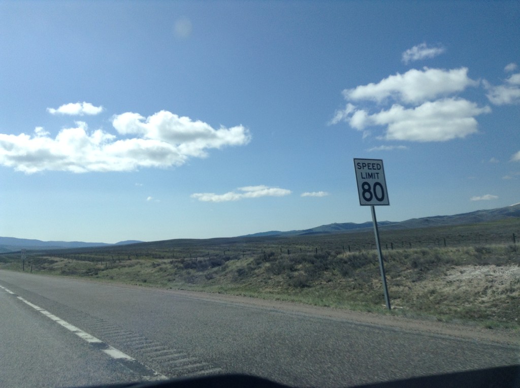
I-15 South - Speed Limit 80 MPH
Speed Limit 80 MPH on I-15 south, just south of the Idaho-Montana border. The speed limit along I-15 is 80 MPH to Idaho Falls.
Taken 05-10-2015
 Humphrey
Clark County
Idaho
United States