Signs Tagged With Speed Limit
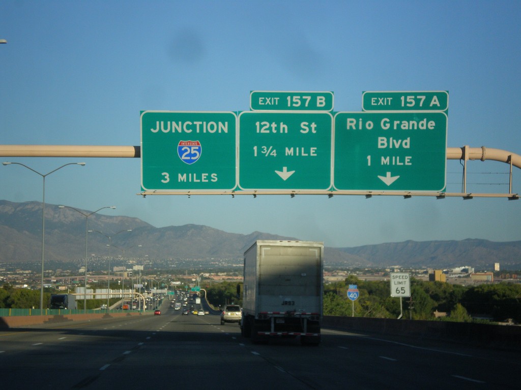
I-40 East Approaching Exits 157A-B
I-40 east approaching Exit 157A - Rio Grande Blvd. and Exit 157B - 12th St. Also approaching I-25 junction in 3 miles.
Taken 10-10-2012

 Albuquerque
Bernalillo County
New Mexico
United States
Albuquerque
Bernalillo County
New Mexico
United States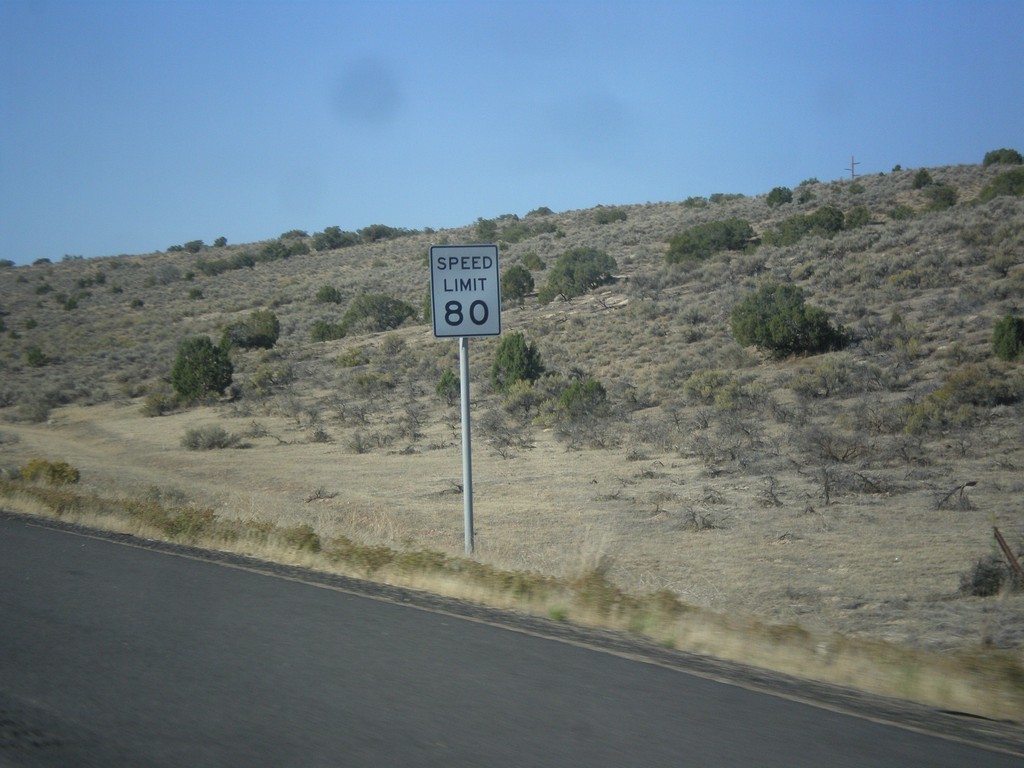
I-15 South - Speed Limit 80
Speed Limit 80 on I-15 south. Utah raised speed limits on sections of I-15 in 2008, and in 2012 decided to make these test sections permanent. Texas is the only other state with speed limits this high.
Taken 10-07-2012
 Levan
Juab County
Utah
United States
Levan
Juab County
Utah
United States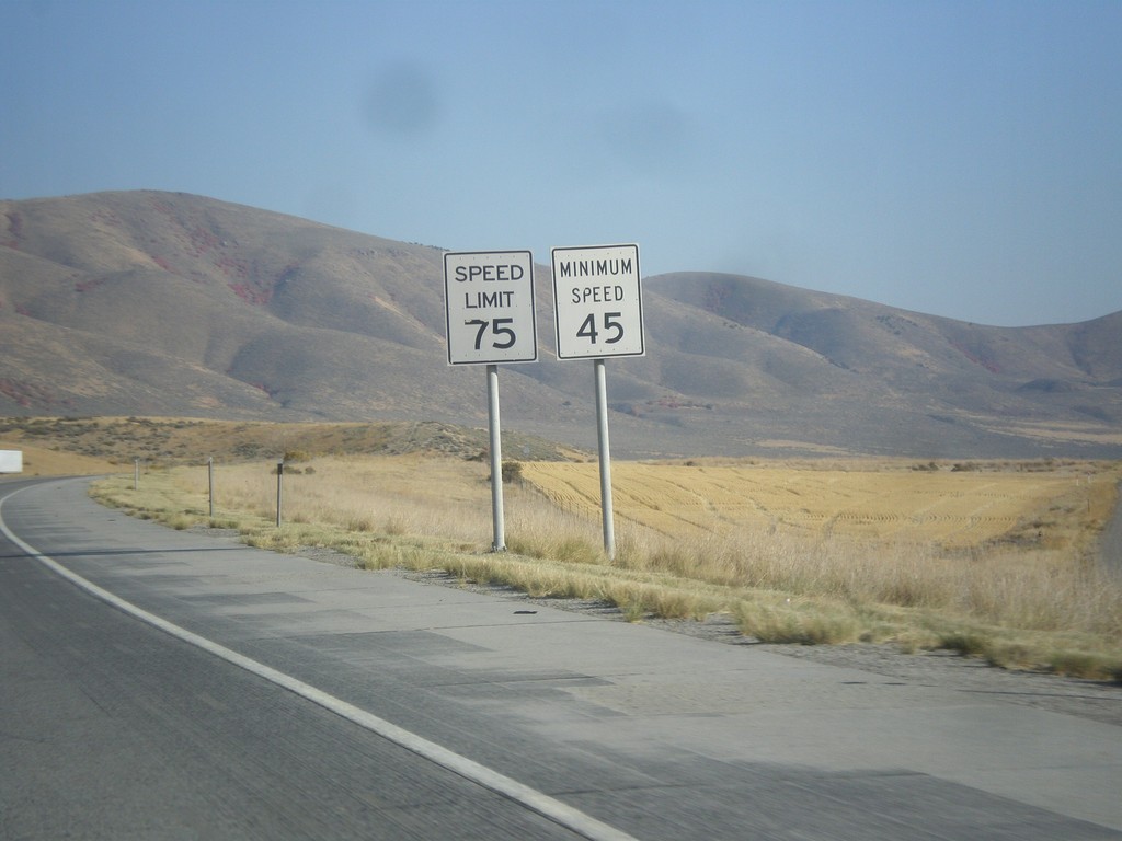
I-84 East - Speed Limit 75/Minimum Speed 45
Speed Limit 75/Minimum Speed 45 on I-84 east. Minimum speeds are not posted with every speed sign on Utah freeways, but are placed sporadically. A typical speed limit installation just contains the maximum speed.
Taken 10-06-2012
 Howell
Box Elder County
Utah
United States
Howell
Box Elder County
Utah
United States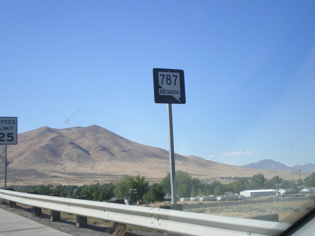
NV-787 North
NV-787 North (Hanson St.) in Winnemucca. NV-787 is a short state highway that connects NV-294 with Winnemucca Blvd. (BL-80 and US-95). There appears to only be one shield along the entire length of the road.
Taken 07-28-2012
 Winnemucca
Humboldt County
Nevada
United States
Winnemucca
Humboldt County
Nevada
United States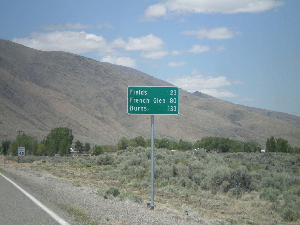
NV-292 North - Distance Marker
Distance marker entering Denio on NV-292 north. Distance to Fields, French Glen, and Burns. All three destinations are in Oregon. The Oregon-Nevada state line is at the north end of Denio.
Taken 05-28-2012
 Denio
Humboldt County
Nevada
United States
Denio
Humboldt County
Nevada
United States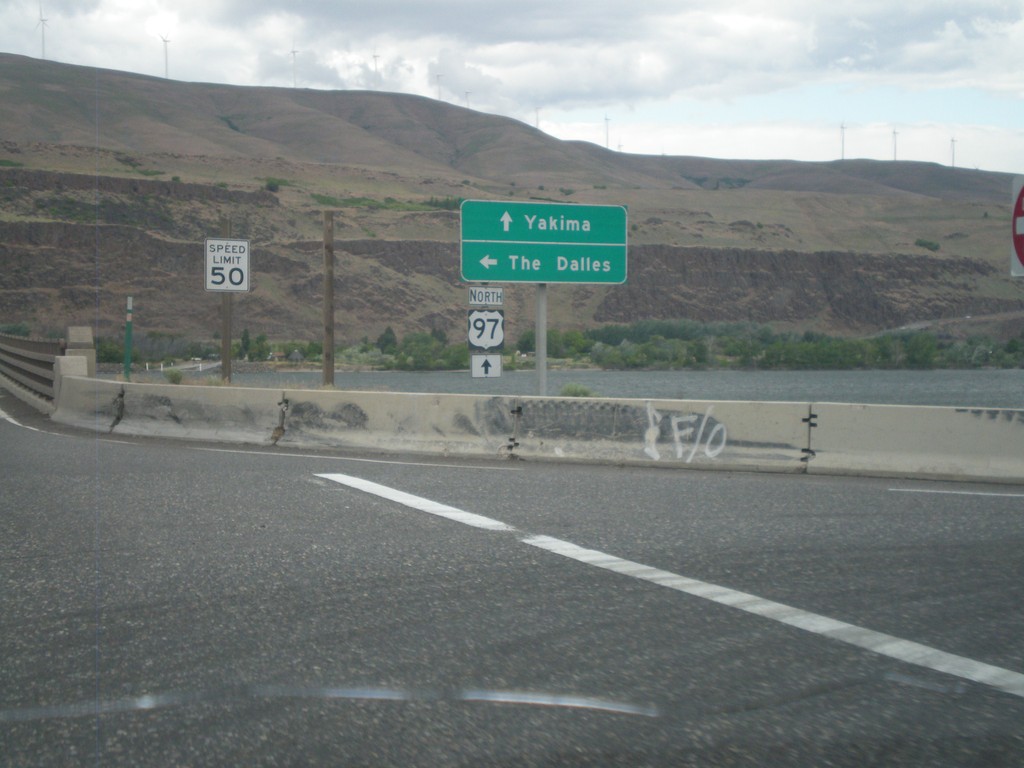
US-97 North at I-84/US-30 West
US-97 north at I-84/US-30 West (Exit 104). Turn left for I-84/US-30 west to The Dalles. Continue north on US-97 towards Yakima (Washington). US-97 crosses over the Columbia River into Washington immediately north of this junction. The Columbia River and the hills of Washington state are in the background of this photograph.
Taken 05-26-2012

 Biggs Junction
Sherman County
Oregon
United States
Biggs Junction
Sherman County
Oregon
United States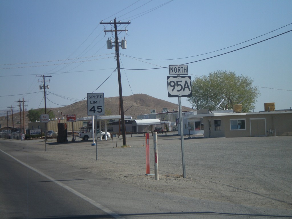
Alt. US-95 North - Yerrington
Alt. US-95 North, leaving Yerrington. This is the only instance that I have seen on any of the Nevada alternate US highways, where an "A" was used as the alternate designation. The normal alternate designation is with a separate sign on top of the shield with the word "ALT".
Taken 05-07-2012
 Yerington
Lyon County
Nevada
United States
Yerington
Lyon County
Nevada
United States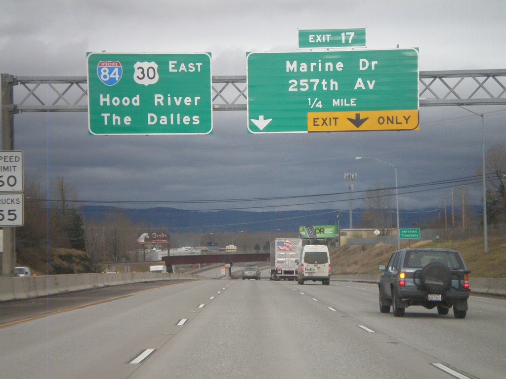
I-84 East Approaching Exit 17
I-84 east approaching Exit 17 - Marine Drive/257th Ave. Continue east on I-84/US-30 for The Dalles and Hood River.
Taken 02-21-2012
Troutdale
Multnomah County
Oregon
United States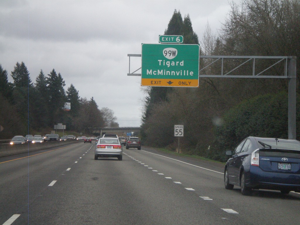
OR-217 South Approaching Exit 6
OR-217 south approaching Exit 6 - OR-99W/McMinnville/Tigard.
Taken 02-18-2012

 Portland
Washington County
Oregon
United States
Portland
Washington County
Oregon
United States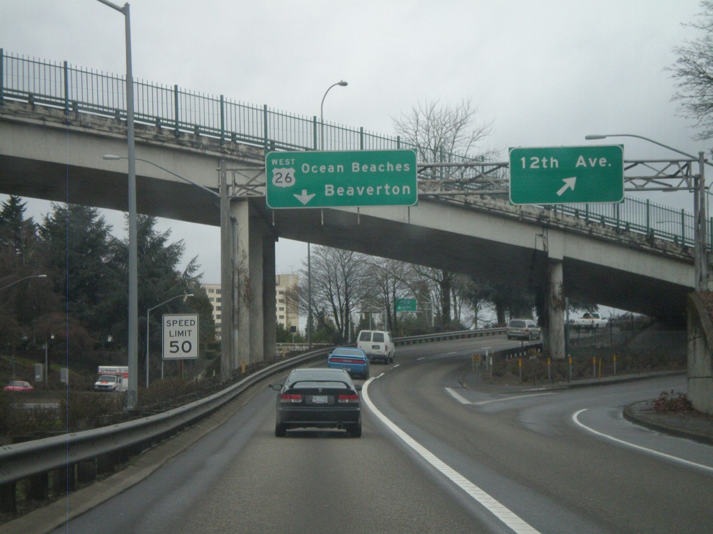
Offramp for I-405 North to US-26 at 12th Ave.
Offramp from I-405 to US-26 west at 12th Ave. interchange. Stay in left lanes for US-26 West/Ocean Beaches/Beaverton. Speed limit is 50 MPH. This speed limit sign is one of the newer style speed limit signs seen on Oregon freeways, with the word LIMIT included.
Taken 02-18-2012

 Portland
Multnomah County
Oregon
United States
Portland
Multnomah County
Oregon
United States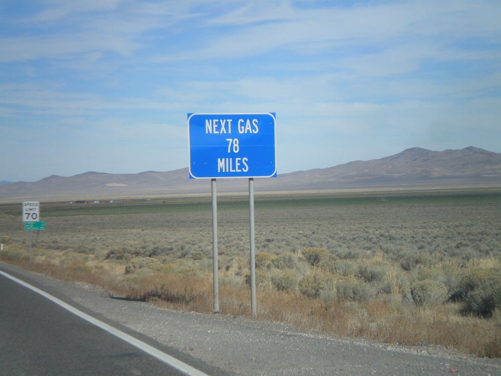
US-93 North - Next Gas 78 Miles
Next Gas 78 Miles on US-93 north. Taken just north of the Alt. US-93/US-93 intersection. Wells is the next city with gas.
Taken 10-15-2011
 Ely
White Pine County
Nevada
United States
Ely
White Pine County
Nevada
United States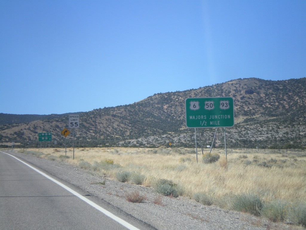
US-93 North Approaching Majors Jct.
US-93 North Approaching Majors Jct with US-50 and US-6.
Taken 10-14-2011

 Ely
White Pine County
Nevada
United States
Ely
White Pine County
Nevada
United States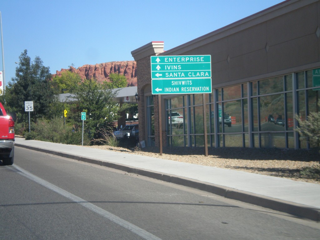
UT-18 North Approaching UT-8
UT-18 North approaching UT-8. Use UT-8 west for Santa Clara and Shivwits Indian Reservation. Continue north on UT-18 for Ivins and Enterprise.
Taken 10-14-2011

 St. George
Washington County
Utah
United States
St. George
Washington County
Utah
United States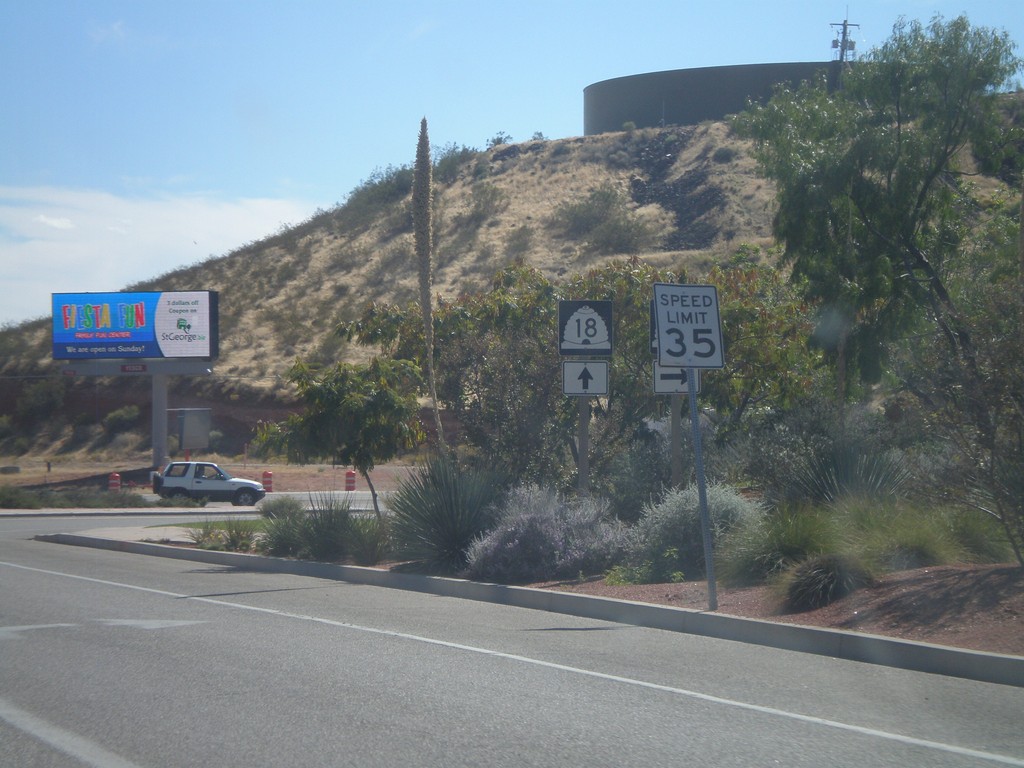
UT-18 South at UT-8
UT-18 south at UT-8 in St. George.
Taken 10-09-2011
St. George
Washington County
Utah
United States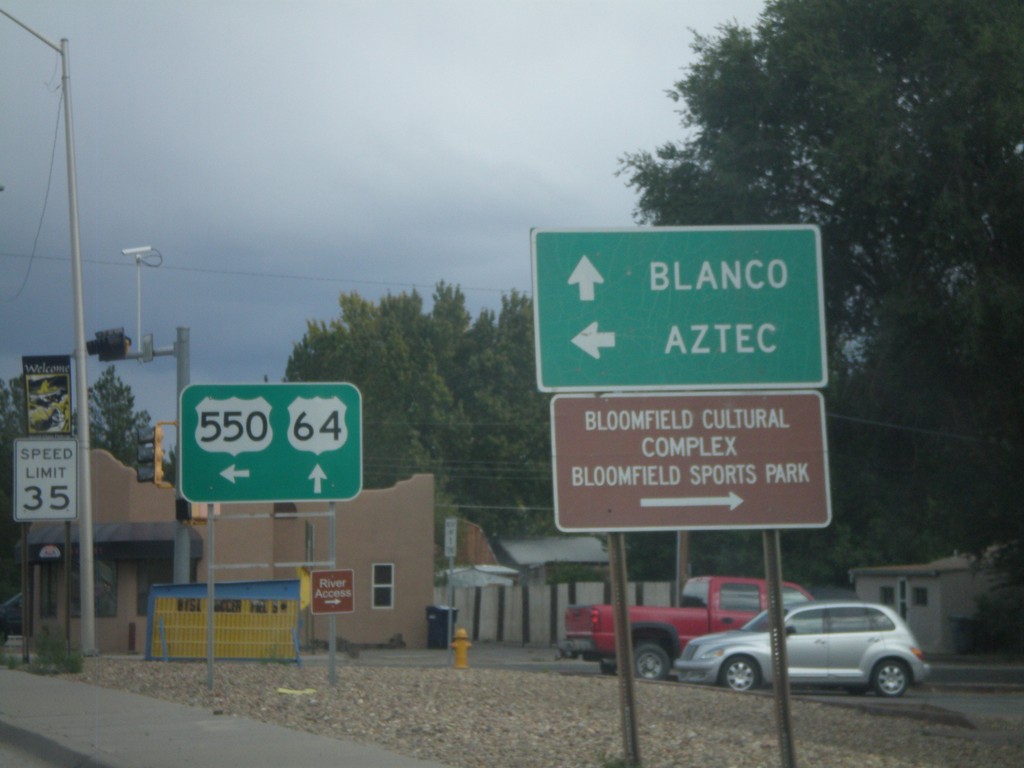
US-64 East/US-550 North at US-550 North
US-64 East/US-550 North at US-550 North. Use US-550 north for Aztec; continue east on US-64 for Blanco.
Taken 10-07-2011

 Bloomfield
San Juan County
New Mexico
United States
Bloomfield
San Juan County
New Mexico
United States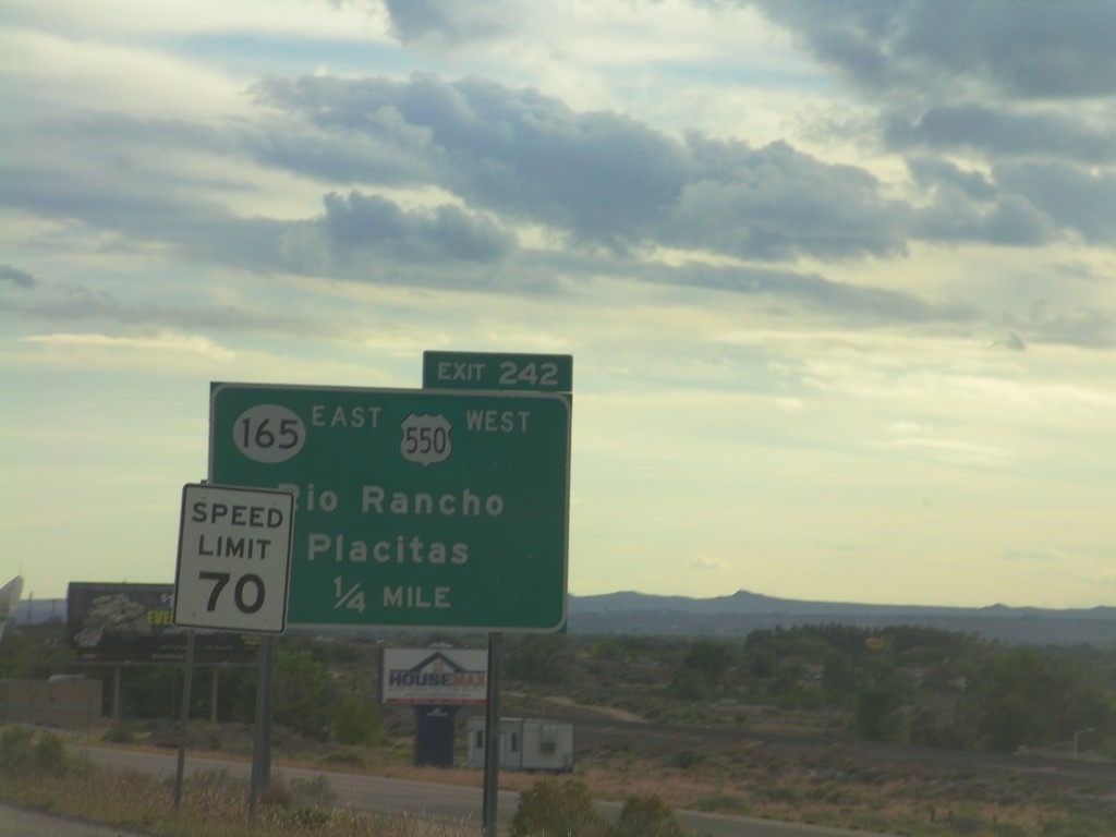
I-25 South - Exit 242
I-25 south approaching Exit 242 - US-550 West/NM-165 East/Rio Rancho/Placitas. This is the southern end of US-550. The speed limit drops from 75 miles per hour to 70 miles per hour as the highway enters the edge of the Albuquerque metropolitan area.
Taken 10-05-2011
 Bernalillo
Sandoval County
New Mexico
United States
Bernalillo
Sandoval County
New Mexico
United States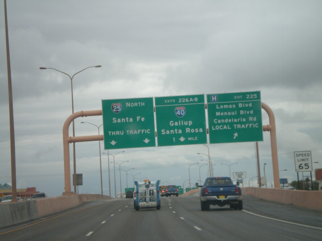
I-25 North - Exits 225 and 226AB
I-25 north at Exit 225 - Lomas Blvd./Menaul Blvd./Candelaria Road./LOCAL TRAFFIC. Approaching Exits 226AB - I-40/Gallup/Santa Rosa. Continue north on I-25 for Santa Fe.
Taken 10-04-2011
Albuquerque
Bernalillo County
New Mexico
United States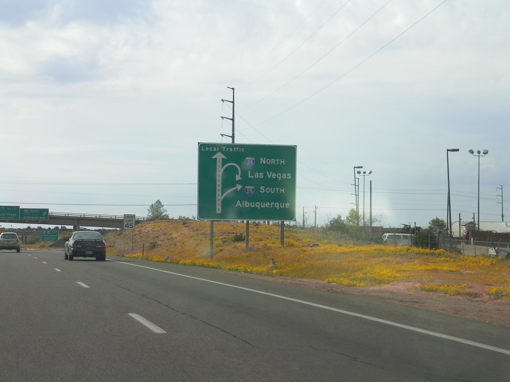
US-84/US-285 South Approaching I-25
US-84/US-285 South (St. Francis Drive) approaching I-25 in Santa Fe. Sign assembly uses a route diagram. Use I-25 north for Las Vegas; use I-25 south for Albuquerque.
Taken 10-04-2011

 Santa Fe
 County
New Mexico
United States
Santa Fe
Santa Fe County
New Mexico
United States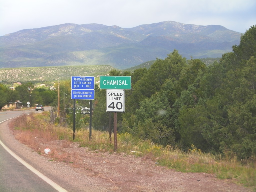
NM-76 North - Entering Chamisal
Entering Chamisal on NM-76 north. Speed Limit 40 MPH through Chamisal.
Taken 10-03-2011
 Chamisal
Taos County
New Mexico
United States
Chamisal
Taos County
New Mexico
United States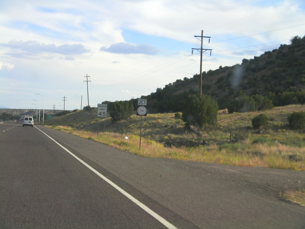
US-84/US-285 South Approaching NM-74
US-84/US-285 South approaching NM-74 near El Duende.
Taken 10-02-2011
 Hernandez
Rio Arriba County
New Mexico
United States
Hernandez
Rio Arriba County
New Mexico
United States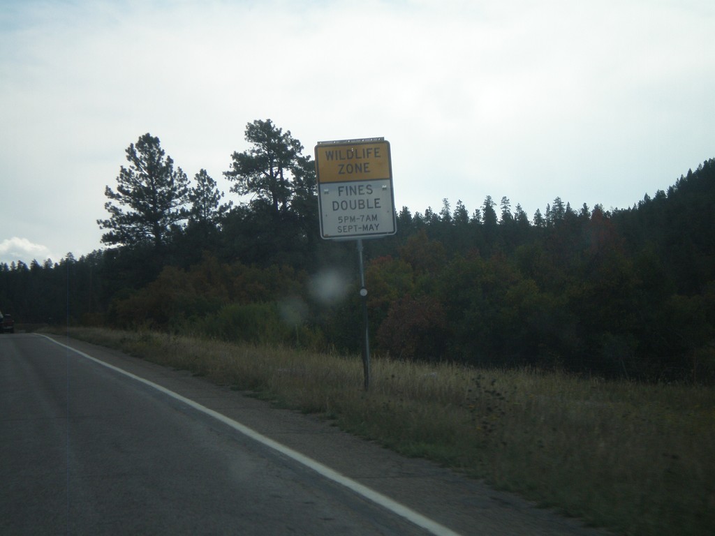
US-160 East - Wildlife Zone
Wildlife Zone on US-160 east in Archueta County. Fines double for any speed violations in the Wildlife Zone between 5PM and 7AM September through May.
Taken 10-02-2011
 Pagosa Springs
Archuleta County
Colorado
United States
Pagosa Springs
Archuleta County
Colorado
United States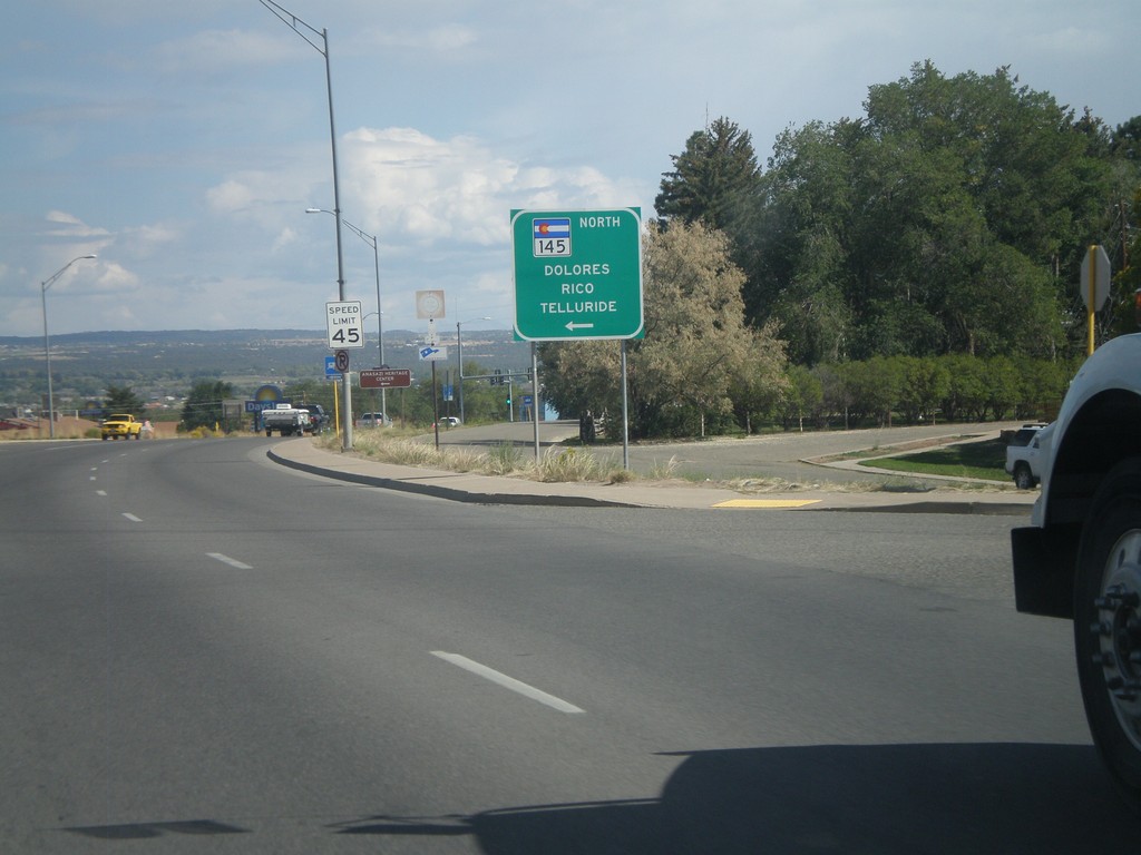
US-160 East at CO-145 North
US-160 east at CO-145 north to Dolores, Rico, and Telluride in Cortez.
Taken 10-02-2011
 Cortez
Montezuma County
Colorado
United States
Cortez
Montezuma County
Colorado
United States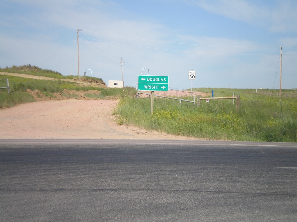
End WY-450 West at WY-59
End WY-450 West at WY-59. Use WY-59 south for Douglas; use WY-59 north for Wright.
Taken 07-04-2011

 Gillette
Campbell County
Wyoming
United States
Gillette
Campbell County
Wyoming
United States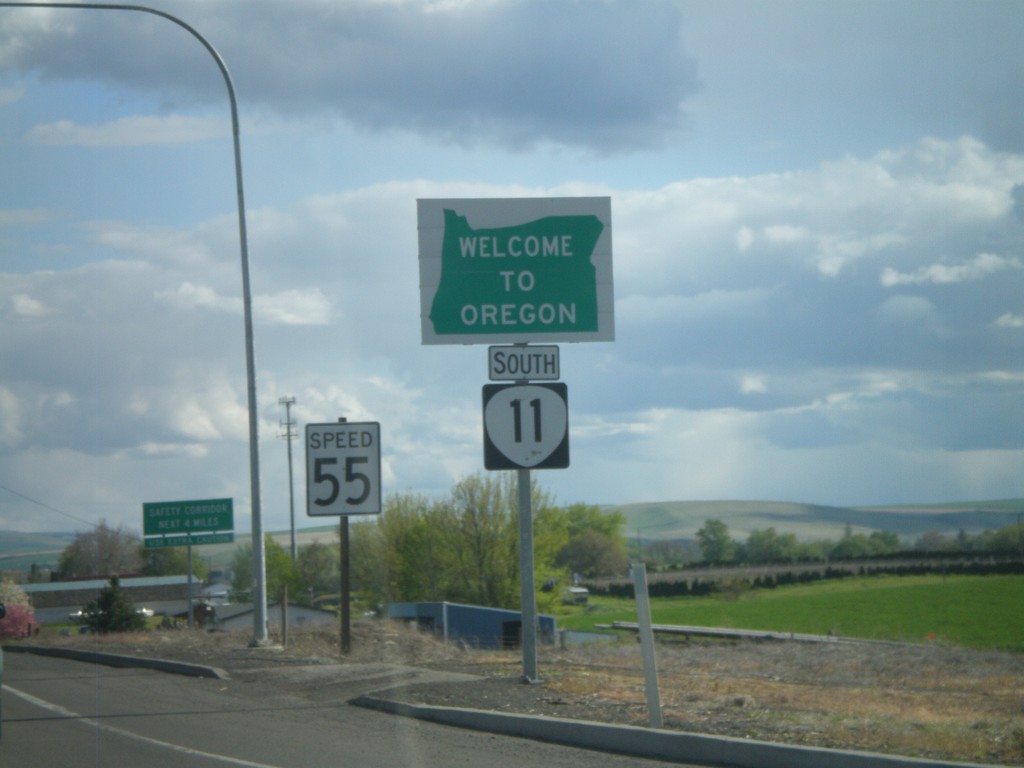
OR-11 South - Welcome To Oregon
Welcome to Oregon on OR-11 south at the Washington-Oregon state line. Also the first speed limit sign in Oregon is in the background - 55 MPH. Most Oregon speed limit signs omit the word Limit.
Taken 04-28-2011
 Milton-Freewater
Umatilla County
Oregon
United States
Milton-Freewater
Umatilla County
Oregon
United States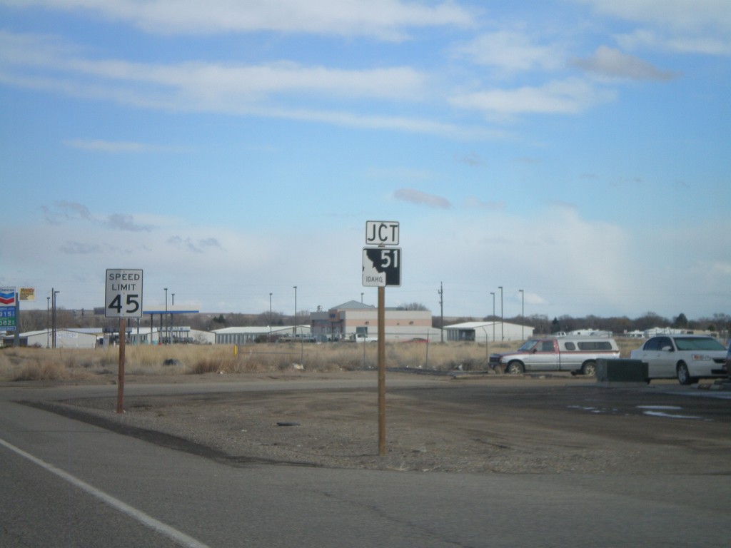
ID-67 East Approaching ID-51
ID-67 east approaching ID-51 junction.
Taken 02-07-2011

 Mountain Home
Elmore County
Idaho
United States
Mountain Home
Elmore County
Idaho
United States