Signs Tagged With Summit
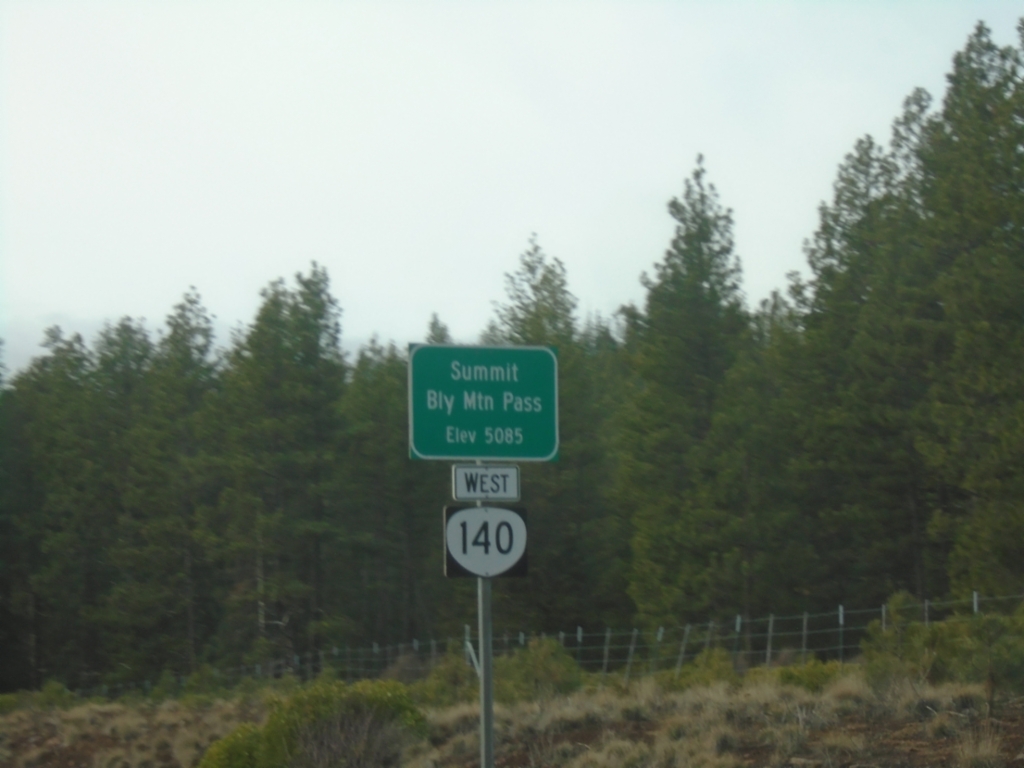
OR-140 West - Bly Mountain Pass
OR-140 west at Bly Mountain Pass. Elevation 5085 Feet.
Taken 02-15-2026
 Beatty
Klamath County
Oregon
United States
Beatty
Klamath County
Oregon
United States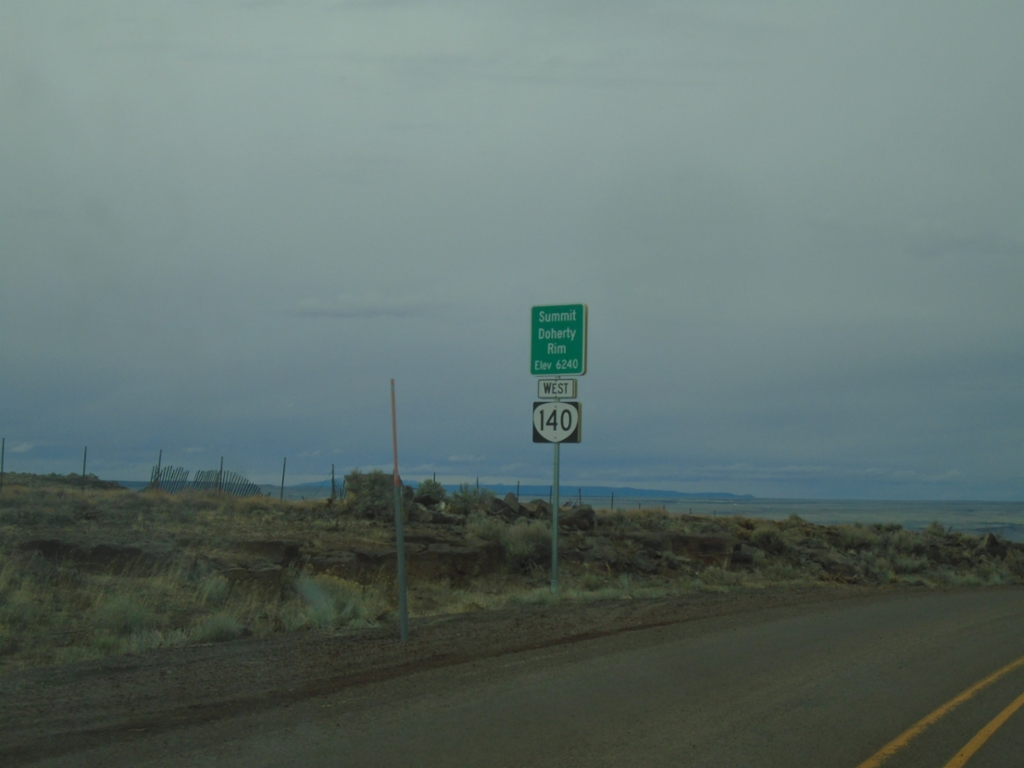
OR-140 West - Summit - Doherty Rim
Doherty Rim Summit, Elevation 6,240 Feet on OR-140 west in rural Lake County.
Taken 02-14-2026
Adel
Lake County
Oregon
United States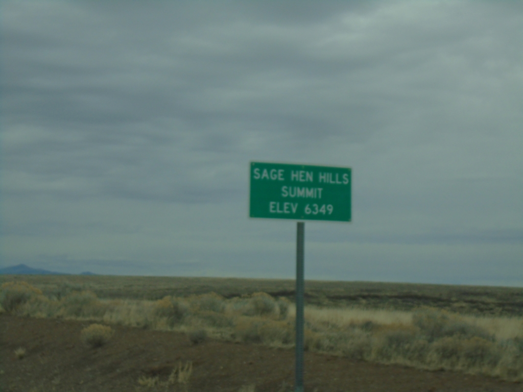
NV-140 North - Sage Hen Hills Summit
NV-140 east -Sage Hen Hills Summit - Elevation 6,349 Feet.
Taken 02-14-2026
 Humboldt County
Nevada
United States
Humboldt County
Nevada
United States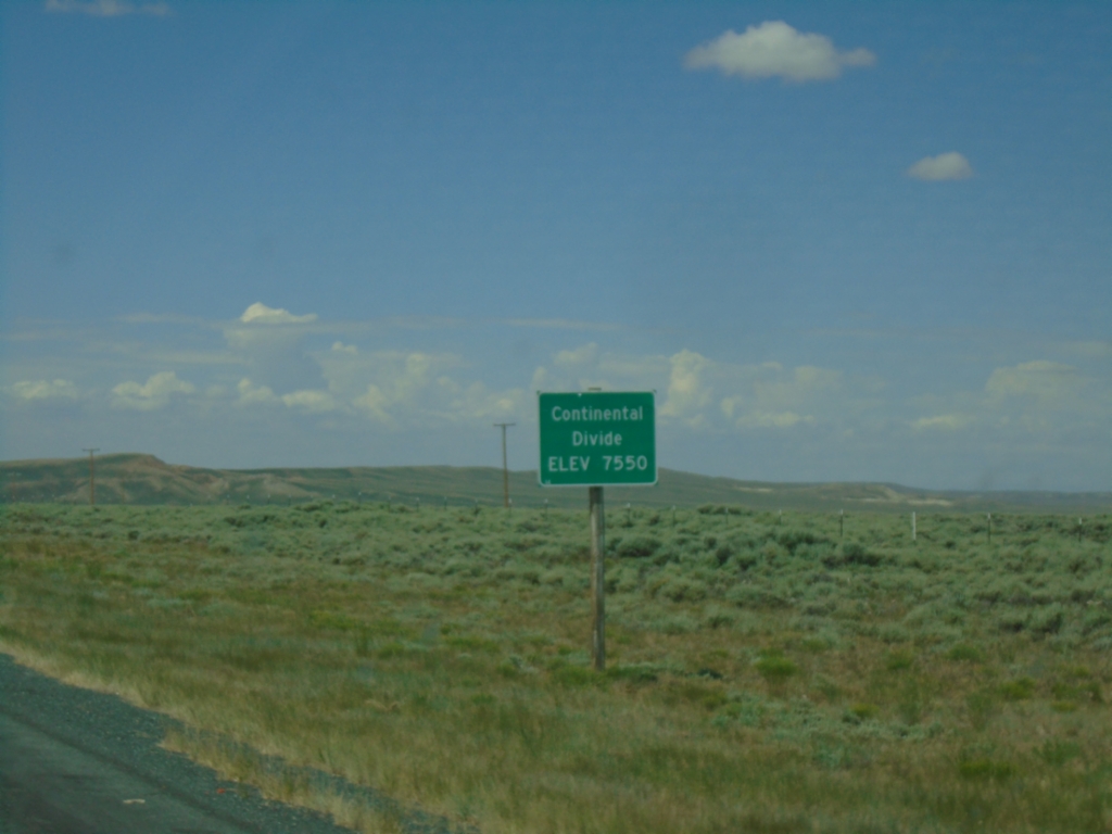
WY-28 West - Continental Divide
WY-28 West - Continental Divide (South Pass) - Elevation 7550 Feet.
Taken 07-04-2025
 Lander
Fremont County
Wyoming
United States
Lander
Fremont County
Wyoming
United States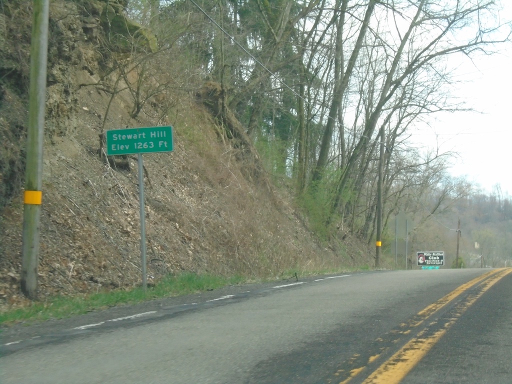
US-30 East - Stewart Hill
Stewart Hill - Elevation 1263 Feet on US-30 East.
Taken 04-01-2024
 Chester
Hancock County
West Virginia
United States
Chester
Hancock County
West Virginia
United States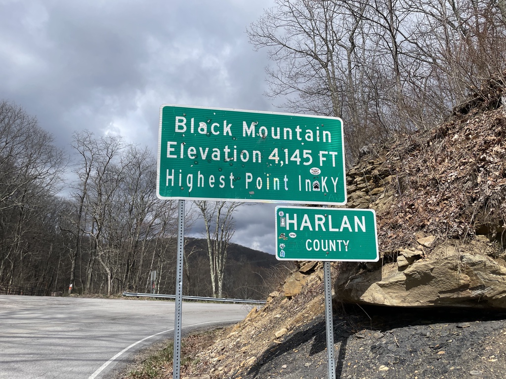
KY-160 West - Harlan County / Black Mountain
KY-160 West at the Kentucky/Virginia State Line. Black Mountain Elevation 4,145 Feet - Highest Point in Kentucky. Entering Harlan County. The actual high point is about 1.5 miles to the south via a trail.
Taken 03-31-2024
 Lynch
Harlan County
Kentucky
United States
Lynch
Harlan County
Kentucky
United States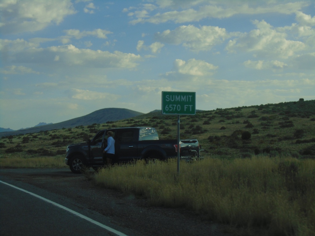
UT-130 North - Summit
Summit - Elevation 6570 Feet on UT-130 North.
Taken 09-09-2023
 Iron County
Utah
United States
Iron County
Utah
United States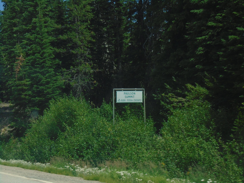
BC-3 East - Paulson Summit
Paulson Summit - Elevation 1535m. Paulson Summit, also called Bonanza Pass is in the Monashee Mountains.
Taken 07-24-2023
 Rossland
Kootenay Boundary
British Columbia
Canada
Rossland
Kootenay Boundary
British Columbia
Canada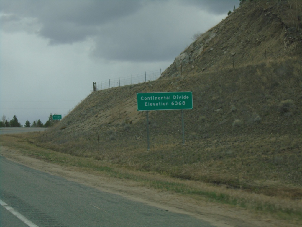
I-15 North - Elk Park Pass
I-15 north at Elk Park Pass (Continental Divide). Elevation 6368 Feet. This is also the county boundary between Silver Bow and Jefferson County. Water north of this point flows into the Gulf of Mexico.
Taken 05-11-2023
 Woodville
Jefferson County
Montana
United States
Woodville
Jefferson County
Montana
United States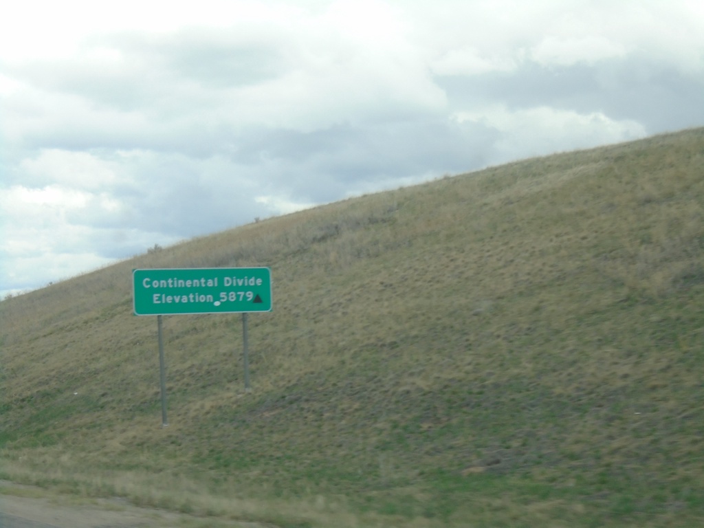
I-15 North - Continental Divide
I-15 North - Continental Divide - Elevation 5879. Waters north of this point flow into the Pacific Ocean, via the Columbia River.
Taken 05-11-2023
Butte
Silver Bow County
Montana
United States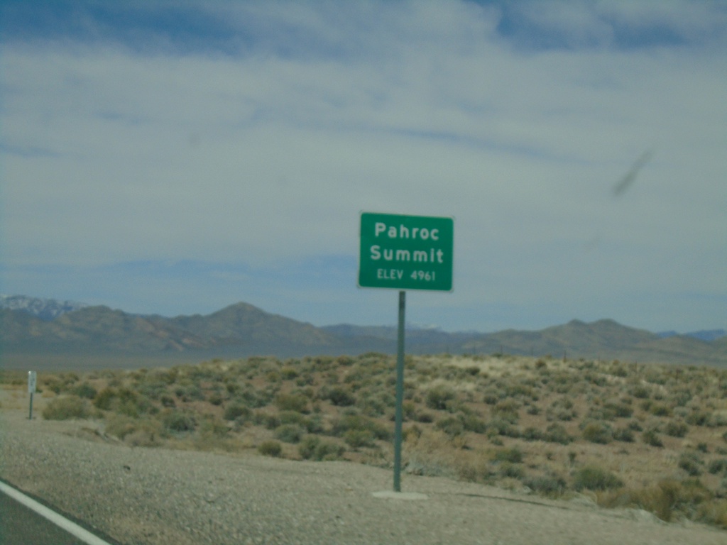
US-93 South - Pahroc Summit
Pahroc Summit - Elevation 4961 Feet on US-93 South.
Taken 04-01-2023
 Hiko
Lincoln County
Nevada
United States
Hiko
Lincoln County
Nevada
United States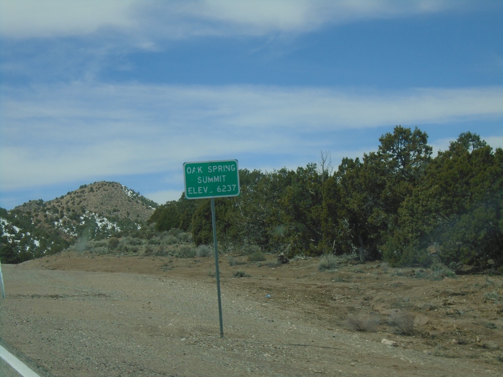
US-93 South - Oak Spring Summit
Oak Spring Summit - Elevation 6237 Feet on US-93 south.
Taken 04-01-2023
Caliente
Lincoln County
Nevada
United States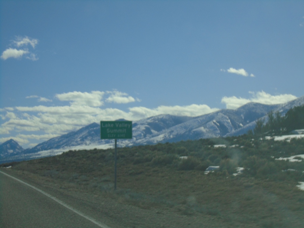
US-93 South - Lake Valley Summit
Lake Valley Summit - Elevation 6,140 Feet on US-93 south.
Taken 03-31-2023
Ely
White Pine County
Nevada
United States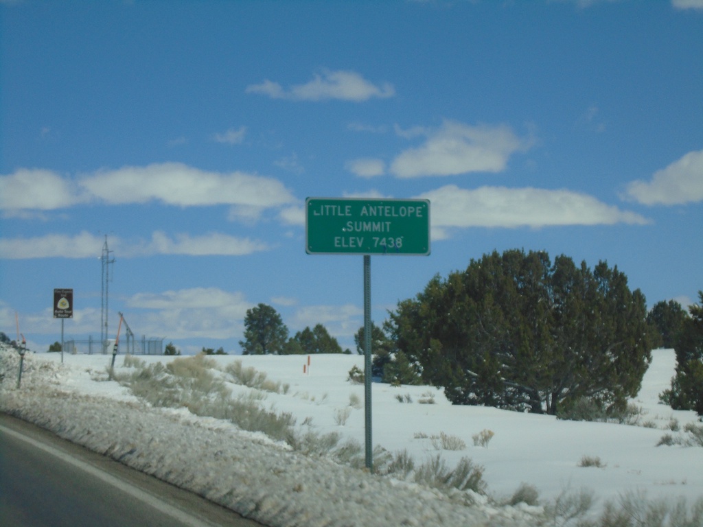
US-50 East - Little Antelope Summit
US-50 east at Little Antelope Summit - Elevation 7,438 Feet. Little Antelope Summit is in the Pine Range.
Taken 03-31-2023
 White Pine County
Nevada
United States
White Pine County
Nevada
United States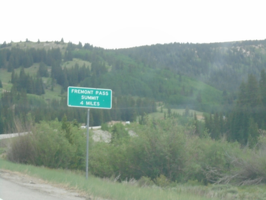
CO-91 North - Fremont Pass Summit - 4 Miles
CO-91 North - Fremont Pass Summit - 4 Miles in Lake County.
Taken 07-10-2022
 Leadville
Lake County
Colorado
United States
Leadville
Lake County
Colorado
United States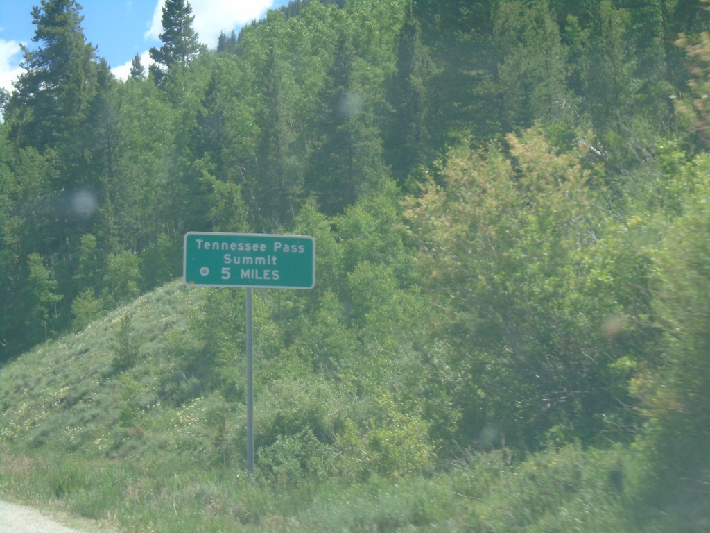
US-24 East - Tennessee Pass Summit 5 Miles
US-24 East - Tennessee Pass Summit - 5 Miles.
Taken 07-09-2022
 Leadville
Eagle County
Colorado
United States
Leadville
Eagle County
Colorado
United States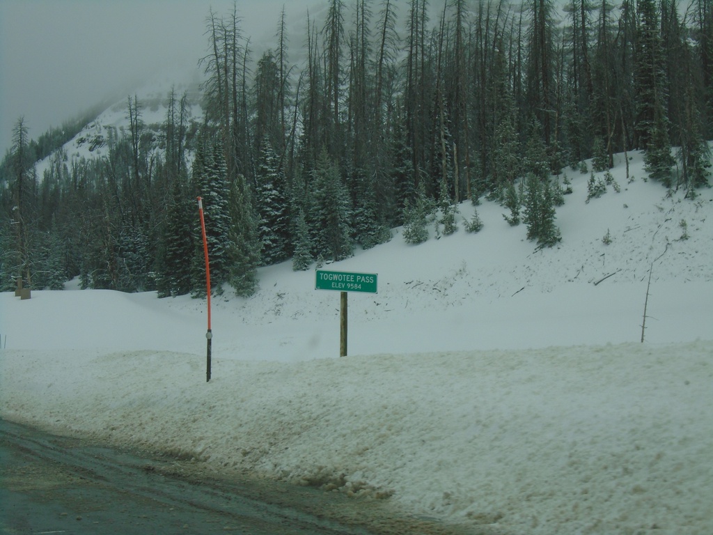
US-26 West/US-287 North - Togwotee Pass
Togwotee Pass on US-26 West/US-287 North. Elevation 9544 Feet. Togwotee Pass is on the Continental Divide.
Taken 05-03-2022

 Moran
Teton County
Wyoming
United States
Moran
Teton County
Wyoming
United States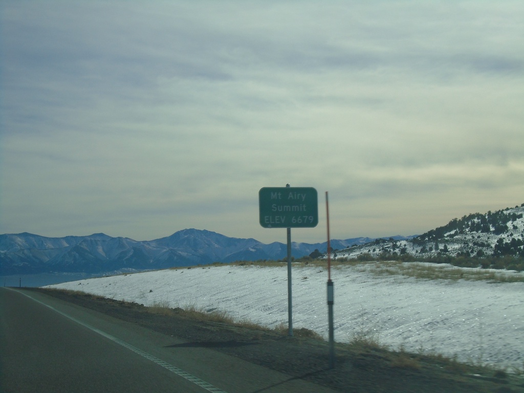
US-50 East - Mount Airy Summit
US-50 East at Mount Airy Summit - Elevation 6679 Feet. Mount Airy Summit is a pass in the Shoshone Mountains.
Taken 01-15-2022
Austin
Lander County
Nevada
United States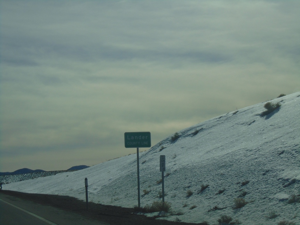
US-50 East - Lander County
Lander County Line on US-50 west at New Pass Summit.
Taken 01-15-2022
Fallon
Lander County
Nevada
United States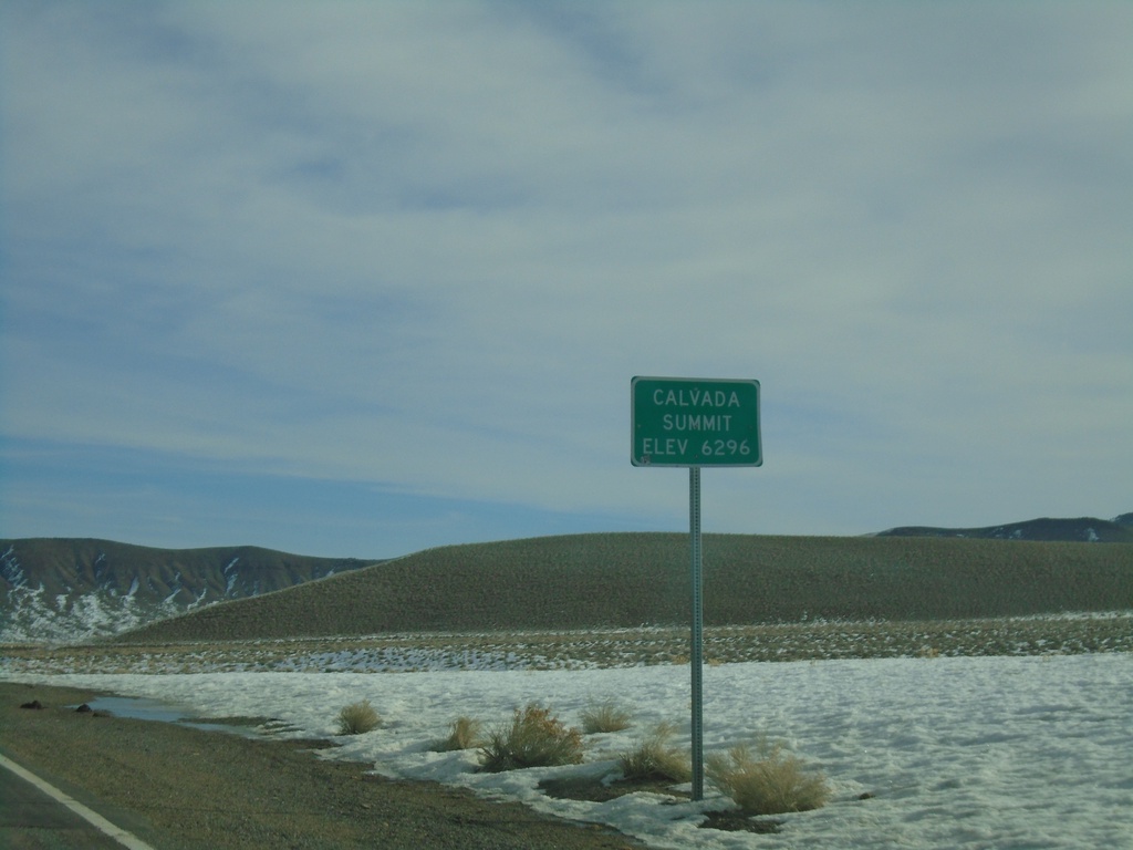
NV-361 North - Calvada Summit
Calvada Summit - Elevation 6296 Feet on NV-361 North. Calvada Summit is in the Gabbs Valley Range.
Taken 01-15-2022
 Luning
Mineral County
Nevada
United States
Luning
Mineral County
Nevada
United States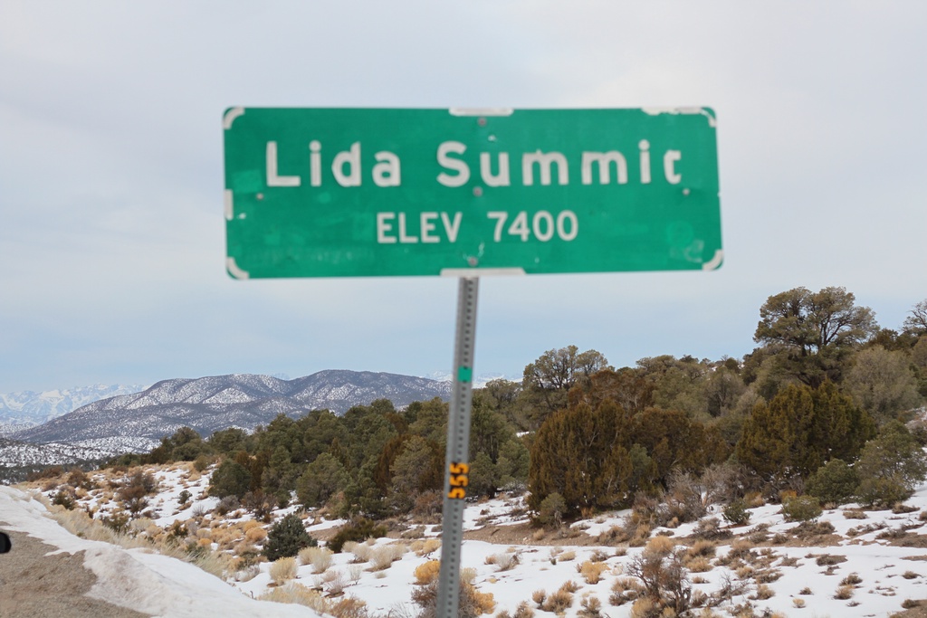
NV-266 West - Lida Summit
Lida Summit - Elevation 7400 Feet on NV-266 West. Lida Summit is located in the Palmetto Mountains.
Taken 01-15-2022
 Goldfield
Esmeralda County
Nevada
United States
Goldfield
Esmeralda County
Nevada
United States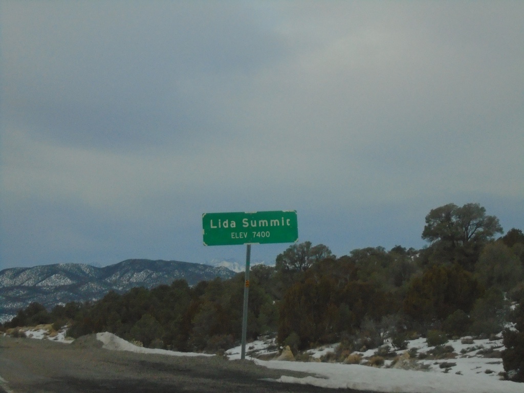
NV-266 West - Lida Summit
Lida Summit - Elevation 7400 Feet on NV-266 West. Lida Summit is located in the Palmetto Mountains.
Taken 01-15-2022
Goldfield
Esmeralda County
Nevada
United States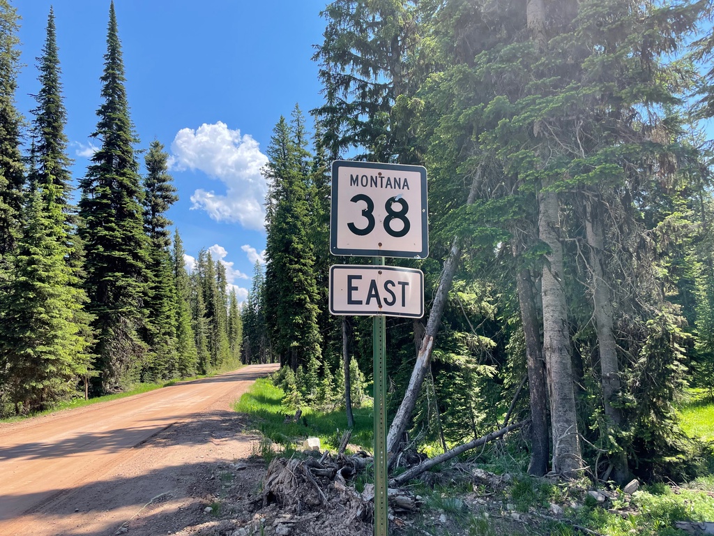
MT-38 East - Skalkaho Pass
MT-38 East shield on Skalkaho Pass in the Sapphire Mountains.
Taken 07-02-2021
 Philipsburg
Granite County
Montana
United States
Philipsburg
Granite County
Montana
United States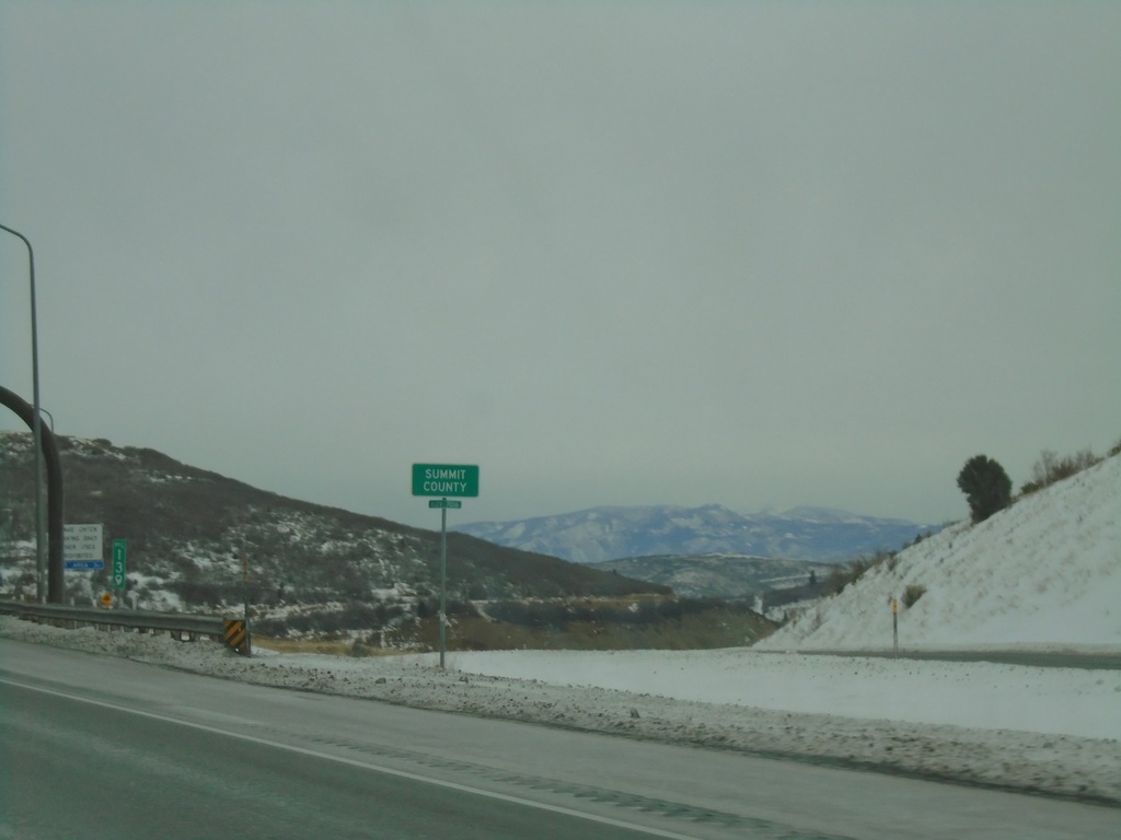
I-80 East - Summit County
Entering Summit County on I-80 East at Parleys Summit - 7120 Feet. This is the highest point along I-80 in the state of Utah.
Taken 12-30-2020
 Park City
Summit County
Utah
United States
Park City
Summit County
Utah
United States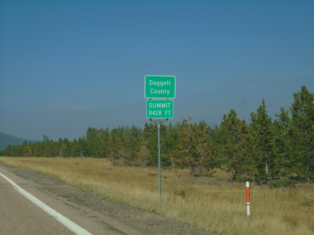
US-191 North - Daggett County
Entering Daggett County on US-191 North. Summit at Elevation 8428 Feet. Daggett County is the least populated county in Utah
Taken 10-03-2020
 Vernal
Daggett County
Utah
United States
Vernal
Daggett County
Utah
United States