Signs Tagged With Tollroad
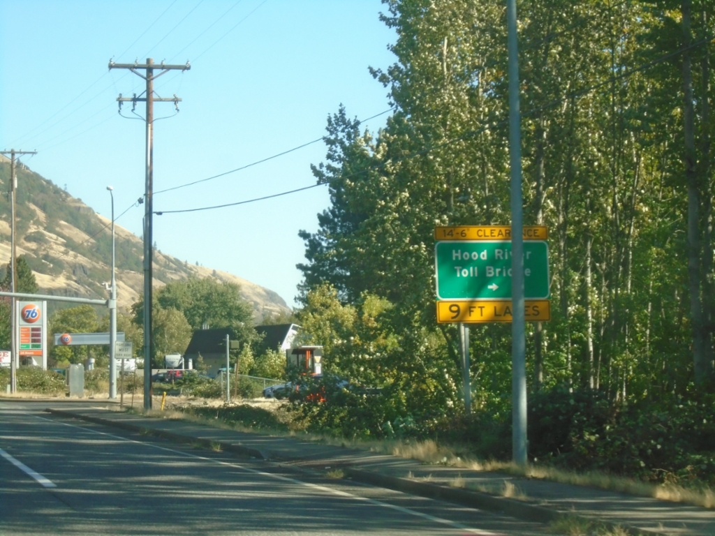
WA-14 East at Hood River Toll Bridge
WA-14 East at Hood River Toll Bridge over the Columbia River.
Taken 09-28-2024
 White Salmon
Klickitat County
Washington
United States
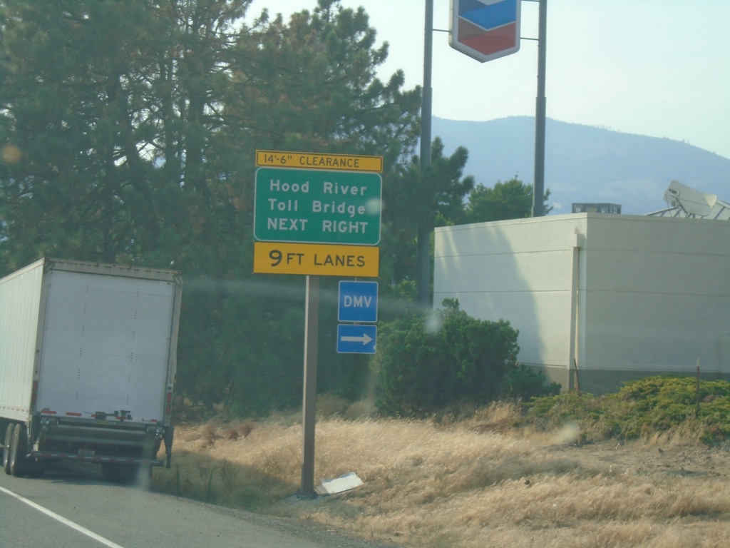
I-84 West Exit 64 Offramp
I-84 West Exit 64 offramp - use right lanes for Hood River Toll Bridge.
Taken 08-08-2024


 Hood River
 County
Oregon
United States
Hood River
Hood River County
Oregon
United States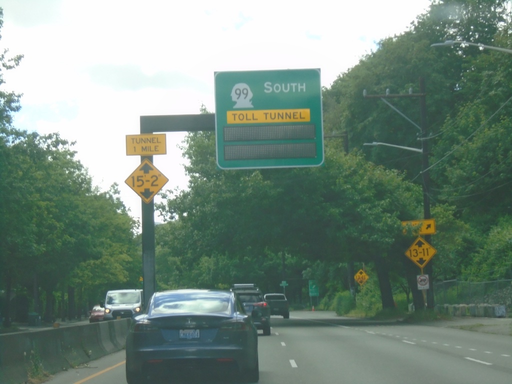
WA-99 South Approaching Toll Tunnel
WA-99 South approaching Toll Tunnel in Seattle.
Taken 06-15-2024
 Seattle
King County
Washington
United States
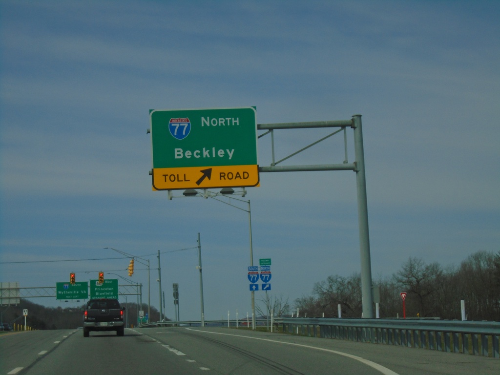
US-460 West at I-77 North
US-460 West at I-77 North Toll Road (West Virginia Turnpike) to Beckley.
Taken 03-30-2024

 Princeton
Mercer County
West Virginia
United States
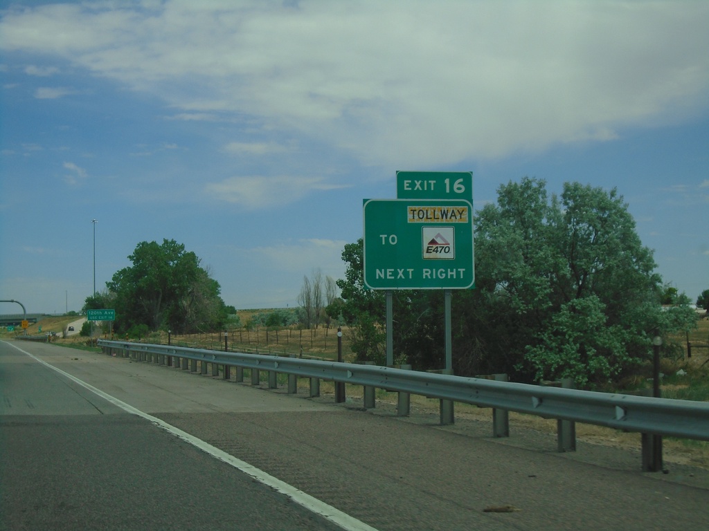
I-76 East - Exit 16
I-76 east approaching Exit 16. Use Exit 16 for E-470/Tollway.
Taken 07-10-2022


 Henderson
Adams County
Colorado
United States
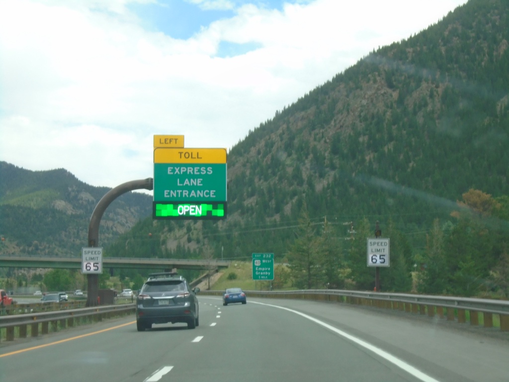
I-70 East - Express Toll Lanes
I-70 East approaching entrance Express Toll Lanes. This lane is the left most lane and runs to US-6 junction above Golden.
Taken 07-10-2022

 Empire
Clear Creek County
Colorado
United States
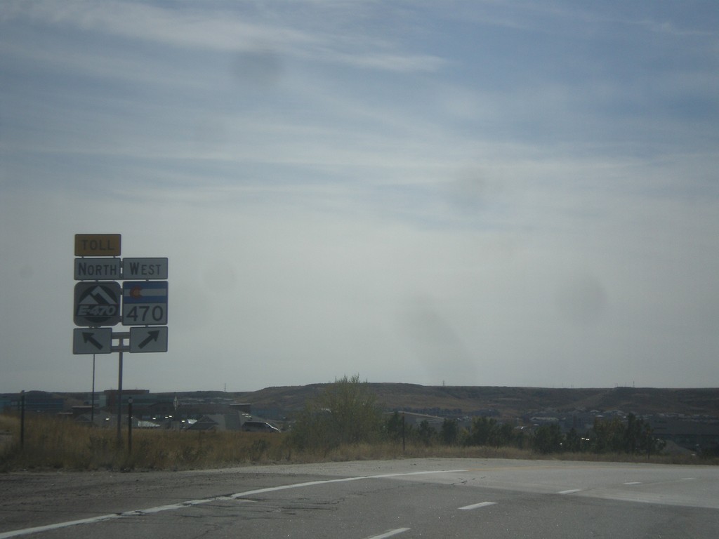
I-25 South/CO-470/E-470 Separation
I-25 South ramp to CO-470/E-470. Merge left for E-470 (Toll Road); merge right for CO-470 west
Taken 10-08-2016


 Lone Tree
Douglas County
Colorado
United States
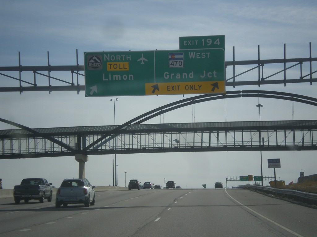
I-25 South - Exit 194
I-25 south at Exit 194 - E-470 North - Toll/Limon and CO-470 West/Grand Junction. E-470/CO-470 is a beltway around the Denver area. This is the southern point on the beltway.
Taken 10-08-2016


 Lone Tree
Douglas County
Colorado
United States
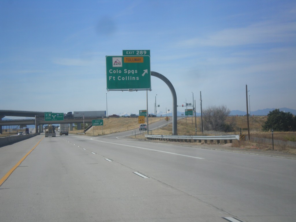
I-70 West - Exit 289
I-70 west at Exit 289 - E-470 Tollway/Colorado Springs/Fort Collins. E-470 is the tolled section of the beltway around Denver.
Taken 10-08-2016


 Aurora
Adams County
Colorado
United States
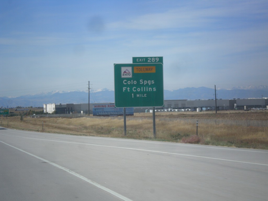
I-70 West - Exit 287
I-70 West at E-470 Junction to Colorado Springs and Fort Collins. E-470 is part of the beltway around Denver. The eastern part of the beltway is tolled and is signed as E-470. The western part of the beltway is free and is signed as CO-470.
Taken 10-08-2016


 Aurora
Adams County
Colorado
United States
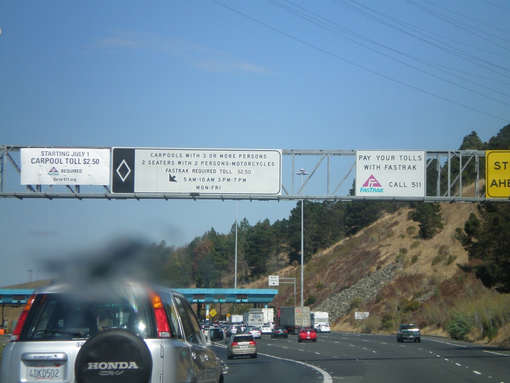
I-80 East - Carquinez Bridge Toll Plaza
Approaching the Carquinez Bridge Toll Plaza on I-80 east. When this photo was taken in Fall 2010, the auto toll was $5.00. The Carquinez Bridge crosses the Carquinez Straits, through which the Sacramento and San Joaquin Delta empty into, before reaching the San Pablo Bay.
Taken 10-01-2010
 Vallejo
Solano County
California
United States
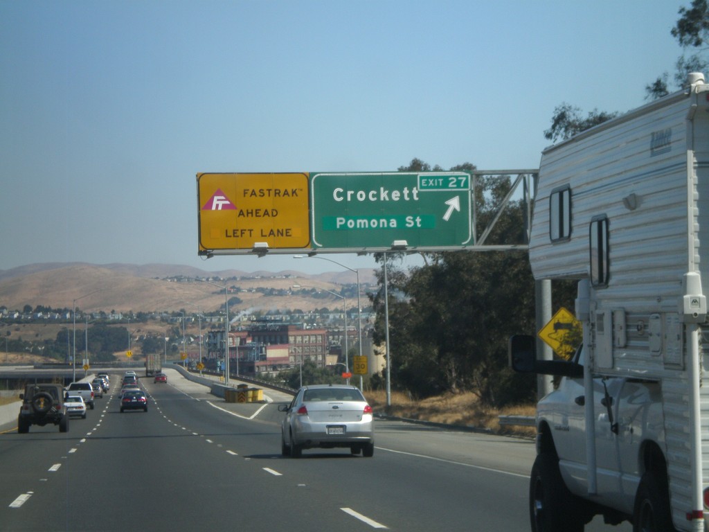
I-80 East - Exit 26
I-80 east at Exit 26 - Crockett/Pomona St. The Carqinuez Bridge bridge over the Carquinez Straits begins here. The eastbound direction over the bridge pays tolls. All Fastrak users, use the left lane. Fastrak is a transponder system used to pay tolls in California.
Taken 10-01-2010
 Crockett
Contra Costa County
California
United States
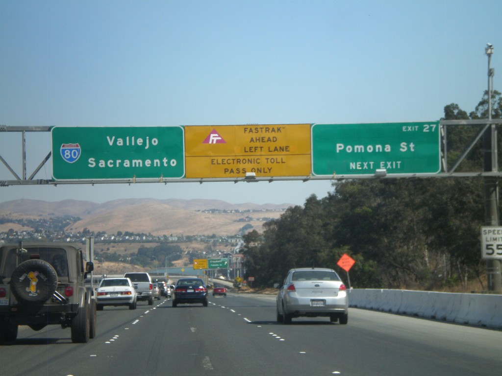
I-80 East - Exit 27
I-80 east approaching Exit 27 - Pomona St. After this exit the highway enters the Carquinez Bridge over the Carquinez Straits, which feeds the Sacramento and San Joaquin Rivers into the San Francisco Bay. Use the left lanes for Fastrak, an electronic tolling system used in California.
Taken 10-01-2010
 Crockett
Contra Costa County
California
United States
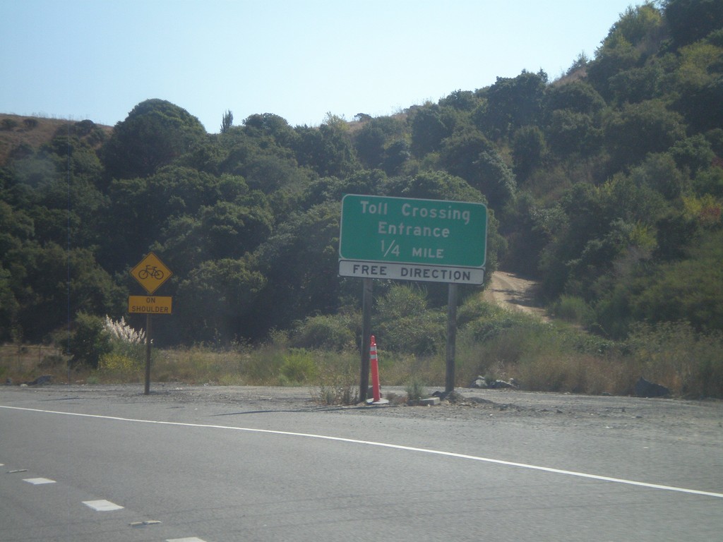
I-580 East Approaching Toll Crossing Entrance
Approaching entrance to Toll Crossing on I-580 east. The toll is for the Richmond - San Rafael Bridge, but the toll is only collected westbound.
Taken 10-01-2010
 San Rafael
Marin County
California
United States
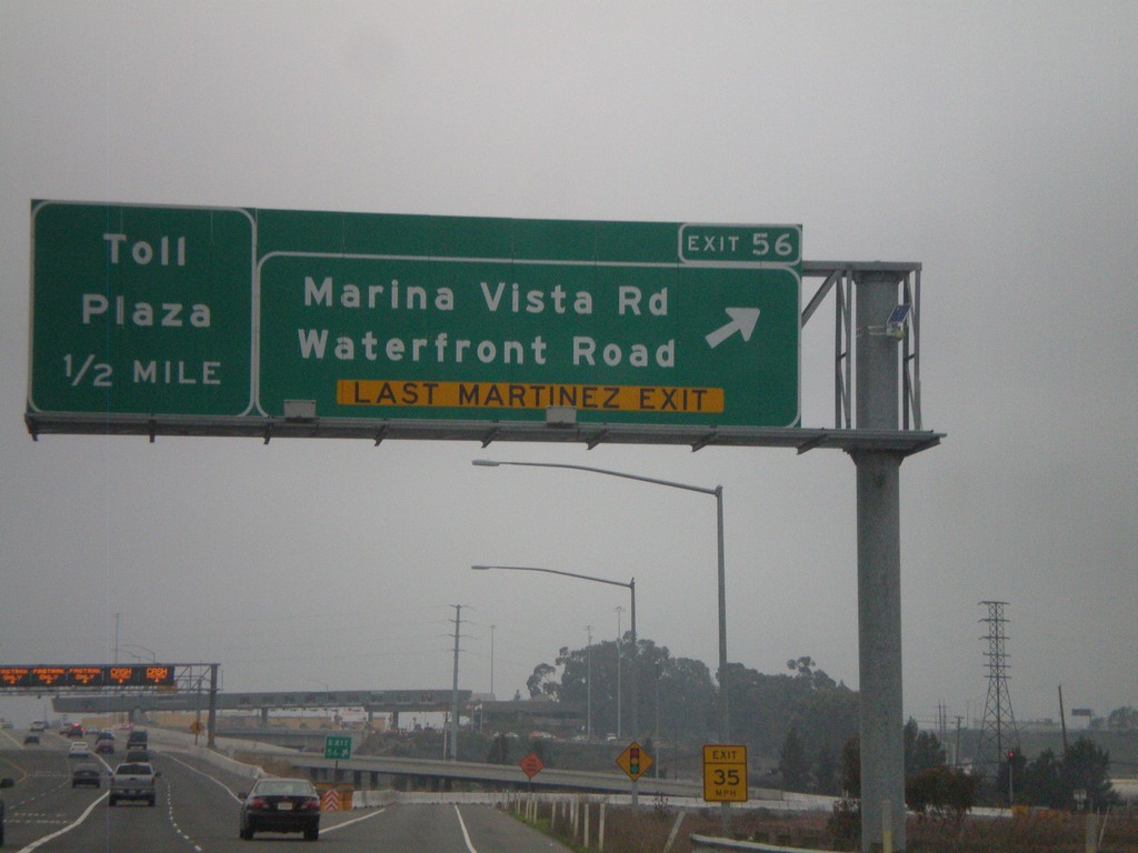
I-680 North - Exit 56
I-680 north at Exit 56 - Marina Vista Road/Waterfront Road (Last Martinez Exit). Approaching Toll Plaza for Benicia-Martinez Bridge.
Taken 01-01-2009
 Martinez
Contra Costa County
California
United States
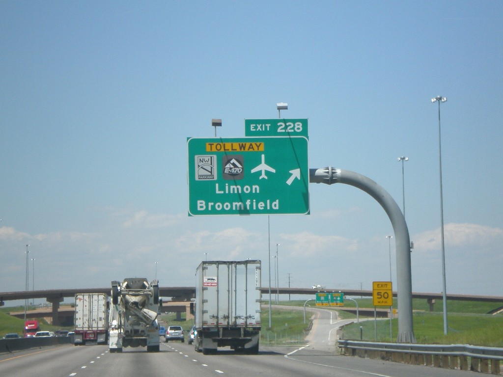
I-25 North - Exit 228
I-25 north at Exit 228, NW Parkway/E-470/Airport/Limon/Broomfield.
Taken 05-25-2007


 Broomfield
Adams County
Colorado
United States
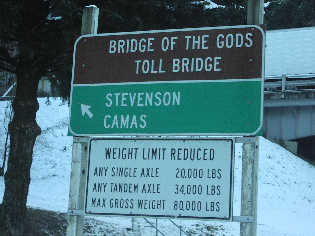
US-30 - Bridge Of The Gods Jct.
US-30 west at Bridge of the Gods to Camas and Stevenson.
Taken 01-01-2007
 Cascade Locks
Hood River County
Oregon
United States
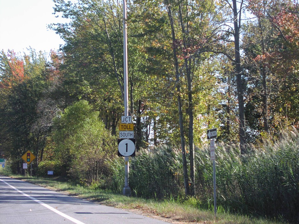
Jct. Toll DE-1 South
Junction Toll DE-1 on US-13 South
Taken 10-01-2004

 Smyrna
New Castle County
Delaware
United States
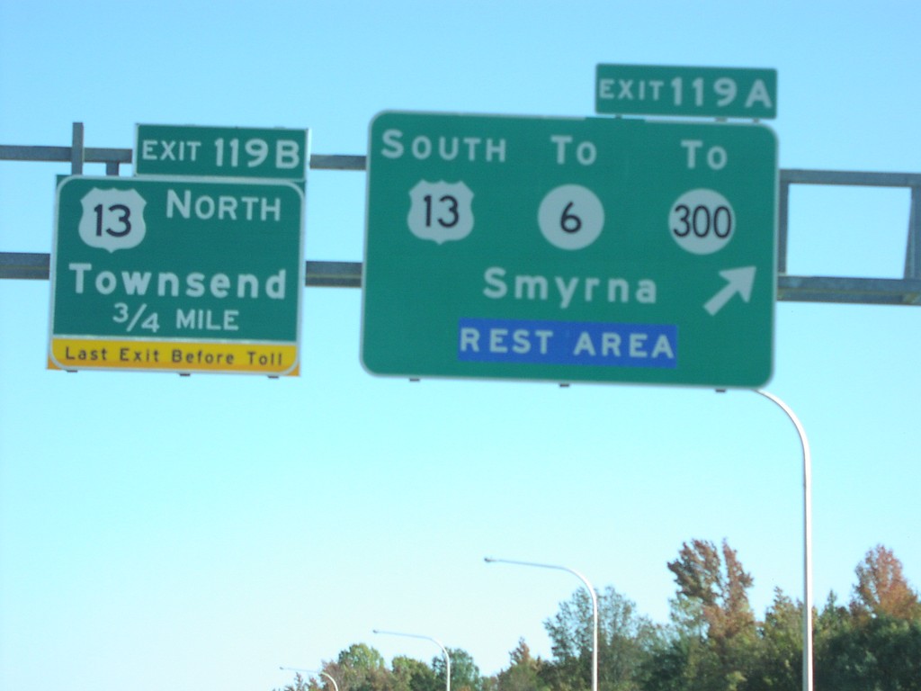
DE-1 South Exit 119AB
DE-1 South at Exits 119AB, US-13/DE-6/DE-300 in Smyrna
Taken 10-01-2004


 Smyrna
New Castle County
Delaware
United States
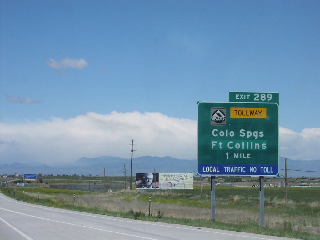
I-70 West - Exit 287
I-70 West at E-470 Junction to Colo. Springs and Ft. Collins
Taken 05-01-2004


 Aurora
Adams County
Colorado
United States