Signs Tagged With Turquoise Trail
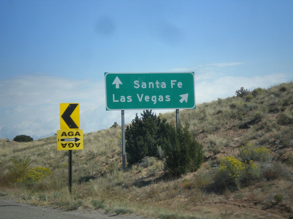
NM-14 North at I-25
NM-14 north at I-25. Merge right for I-25 north to Las Vegas. Continue north on NM-14 for Santa Fe.
Taken 10-12-2012

 Santa Fe
 County
New Mexico
United States
Santa Fe
Santa Fe County
New Mexico
United States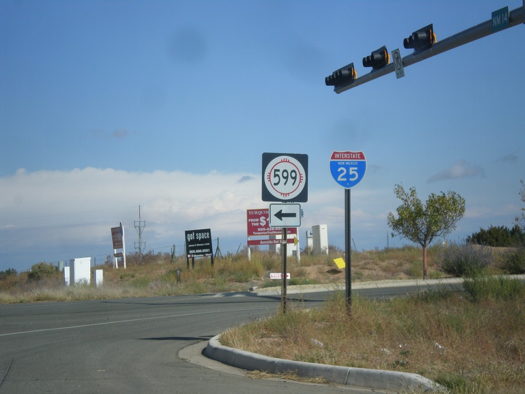
NM-14 North at NM-599
NM-14 north at NM-599. Use NM-599 for I-25. Northbound I-25 traffic can continue north on NM-14, although NM-599 is a shortcut to the freeway. This is the southern end of the Santa Fe Relief Route.
Taken 10-12-2012
 Santa Fe
 County
New Mexico
United States
Santa Fe
Santa Fe County
New Mexico
United States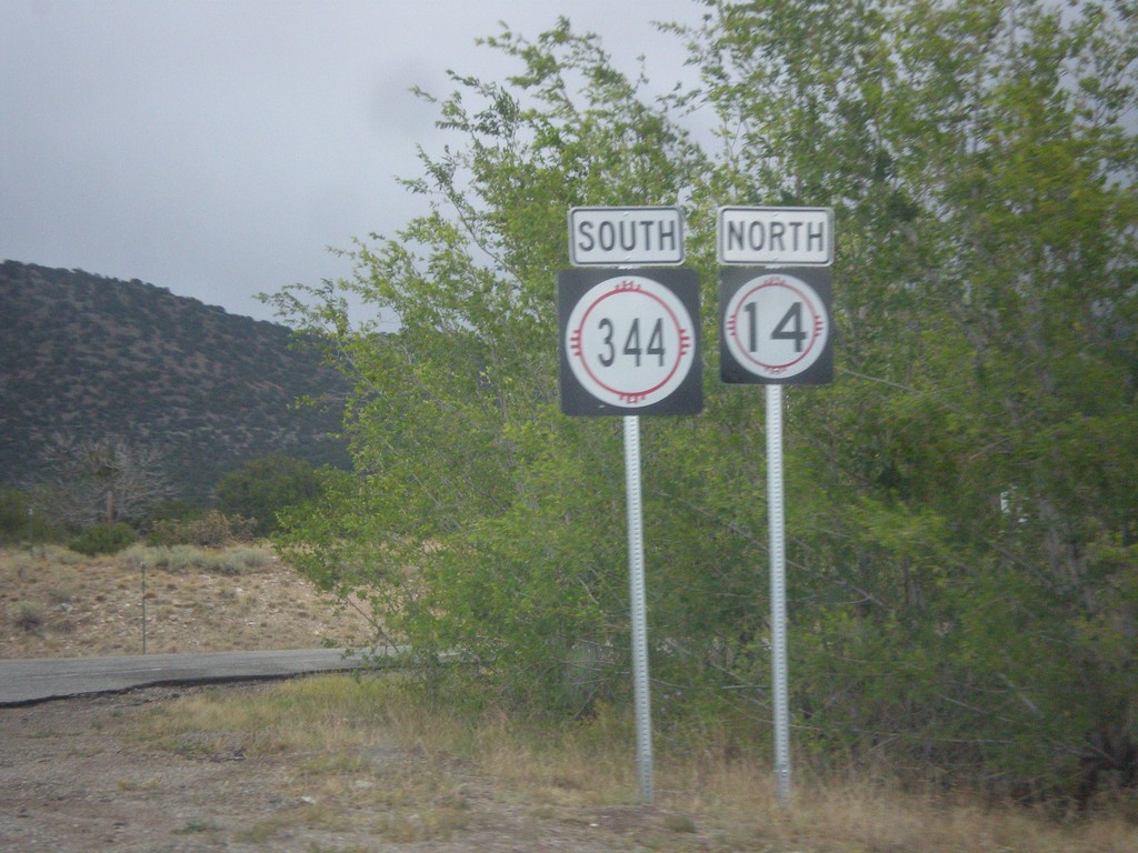
NM-14 North at NM-344
NM-14 north at NM-344. The arrows are missing from these signs. Turn right for NM-344 south; straight for NM-14 north.
Taken 10-12-2012
 Sandia Park
Santa Fe County
New Mexico
United States
Sandia Park
Santa Fe County
New Mexico
United States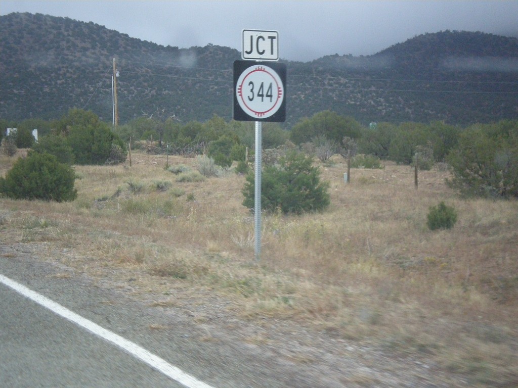
NM-14 North Approaching NM-344
NM-14 North approaching NM-344 along the Turquoise Trail.
Taken 10-12-2012
Los Cerrillos
Santa Fe County
New Mexico
United States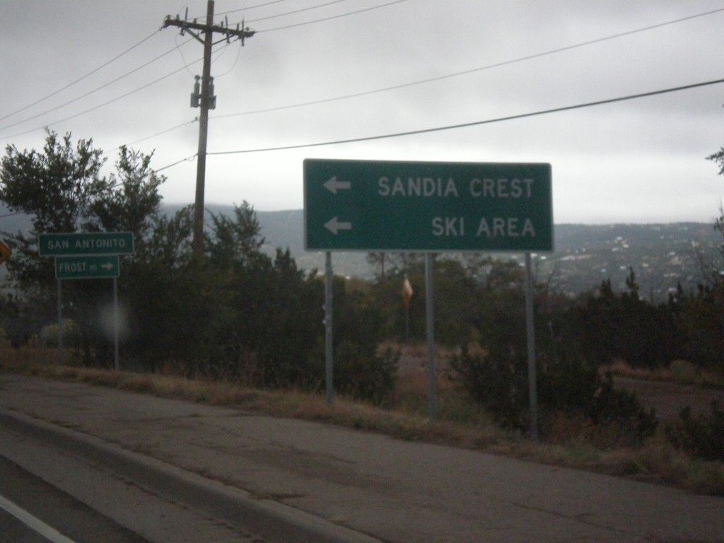
NM-14 North at NM-306/NM-536
NM-14 north at NM-536 west to Sandia Crest Ski Area. Turn right for NM-306, Frost Road. Entering the community of San Antonito.
Taken 10-12-2012

 Sandia Park
Bernalillo County
New Mexico
United States
Sandia Park
Bernalillo County
New Mexico
United States