Signs Tagged With Weigh Station
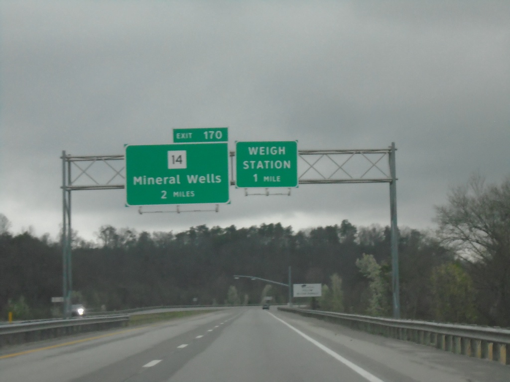
I-77 North - Exit 170
I-77 north approaching Exit 170 - WV-14/Mineral Wells. Approaching Weigh Station.
Taken 04-01-2024


 Mineral Wells
Wood County
West Virginia
United States
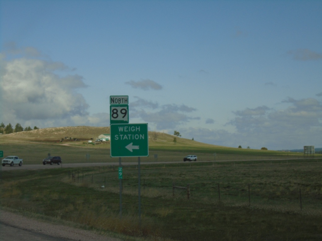
SD-89 North - Weigh Station
SD-89 north at Weigh Station entrance.
Taken 04-30-2022
 Hot Springs
Fall River County
South Dakota
United States
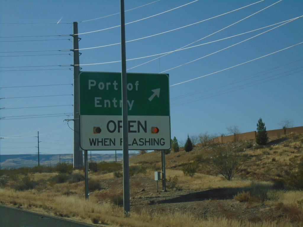
I-15 South - Port of Entry
I-15 south at Port of Entry. This Port of Entry is for Arizona, although it is located across the line in Utah.
Taken 11-26-2019
 St. George
Washington County
Utah
United States
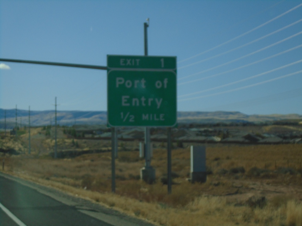
I-15 South - Exit 1
I-15 South approaching Exit 1 - Port of Entry (Arizona).
Taken 11-26-2019
 St. George
Washington County
Utah
United States
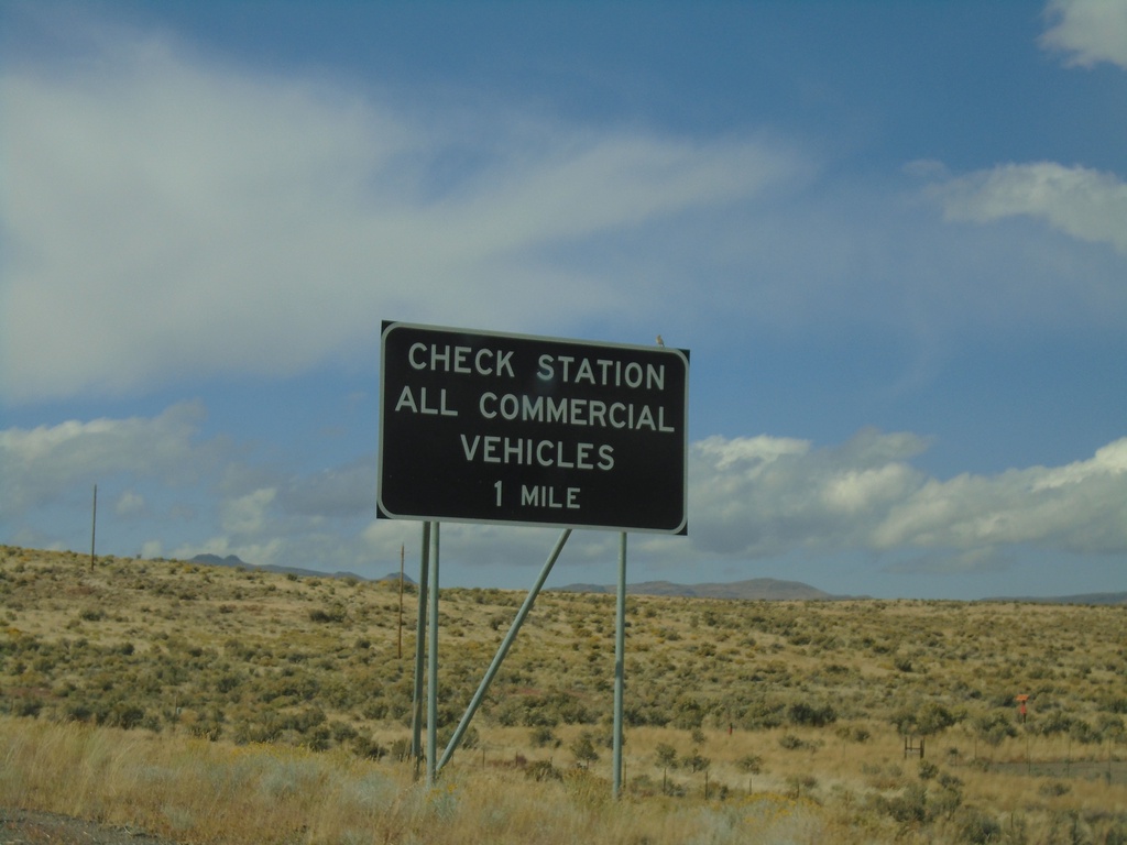
I-80 West - Check Station
I-80 west approaching Check Station. All Commercial Vehicles Must Exit.
Taken 09-28-2019
 Elko
Elko County
Nevada
United States
Elko
Elko County
Nevada
United States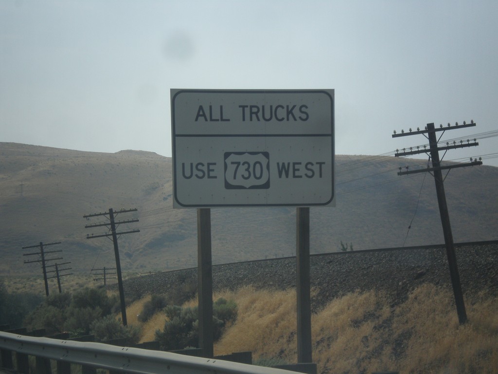
US-12 East Approaching US-730
US-12 East approaching US-730. All trucks use US-730 west, to access the Weigh Station.
Taken 09-09-2017

 Burbank
Walla Walla County
Washington
United States
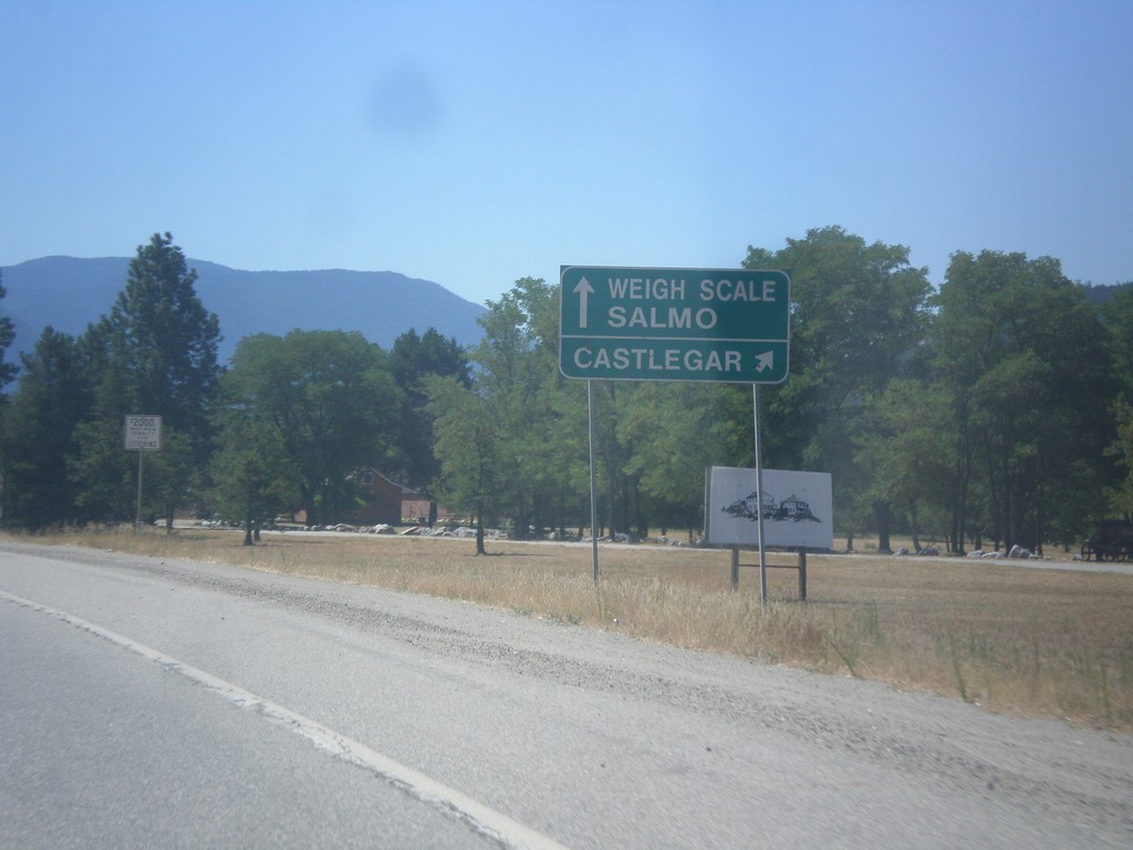
BC-3A West approaching BC-3
BC-3A West approaching BC-3. Use right lane for BC-3 West/Castlegar. Use left lane for BC-3 East/Weigh Station/Salmo.
Taken 07-29-2017

 Castlegar
Central Kootenay
British Columbia
Canada
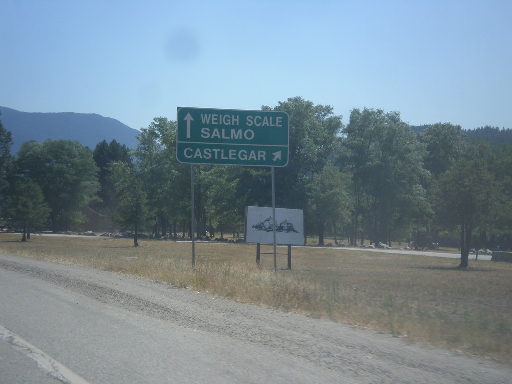
BC-3A West approaching BC-3
BC-3A West approaching BC-3. Use right lane for BC-3 West/Castlegar. Use left lane for BC-3 East/Weigh Station/Salmo.
Taken 07-25-2017

 Castlegar
Central Kootenay
British Columbia
Canada
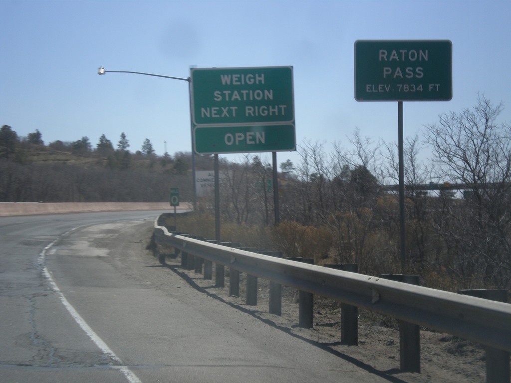
I-25 South - Raton Pass
I-25 south at Raton Pass - Elevation 7,834 Feet. Milemarker 0 is in the background which is the New Mexico - Colorado State Line. The New Mexico Port of Entry is immediately past the state line.
Taken 03-29-2014

 Trinidad
Las Animas County
Colorado
United States
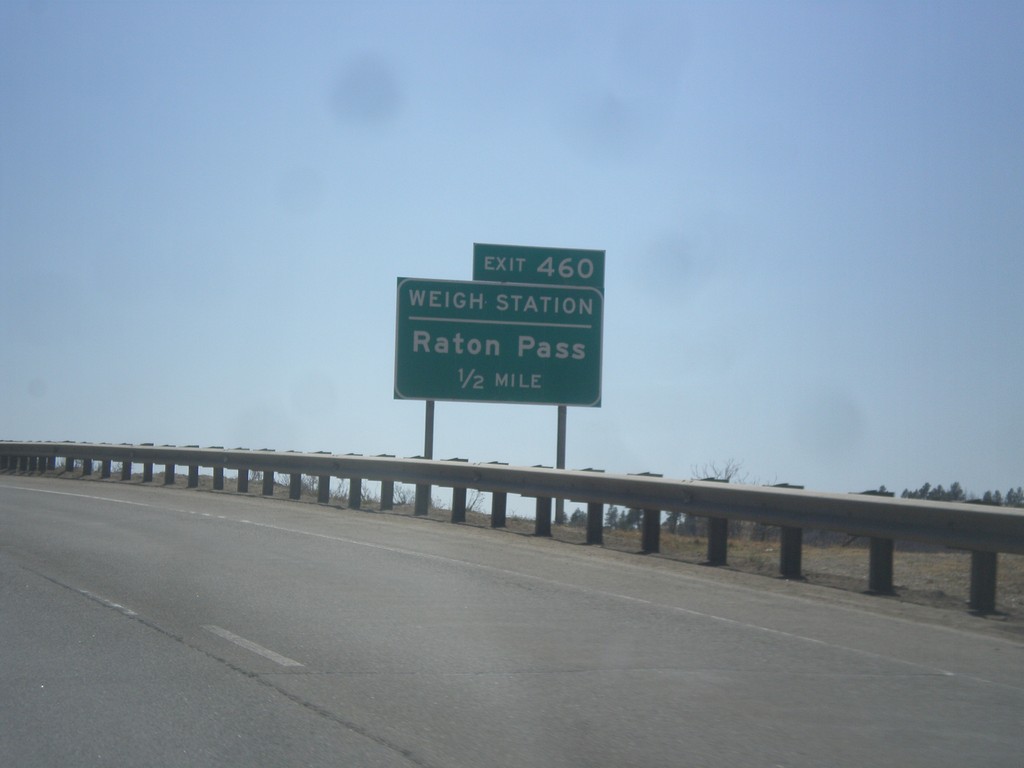
I-25 South - Exit 460 (New Mexico)
I-25 south approaching Exit 460 (New Mexico) - Raton Pass/Weigh Station. The Colorado-New Mexico state line is on the top of Raton Pass.
Taken 03-29-2014

 Trinidad
Las Animas County
Colorado
United States
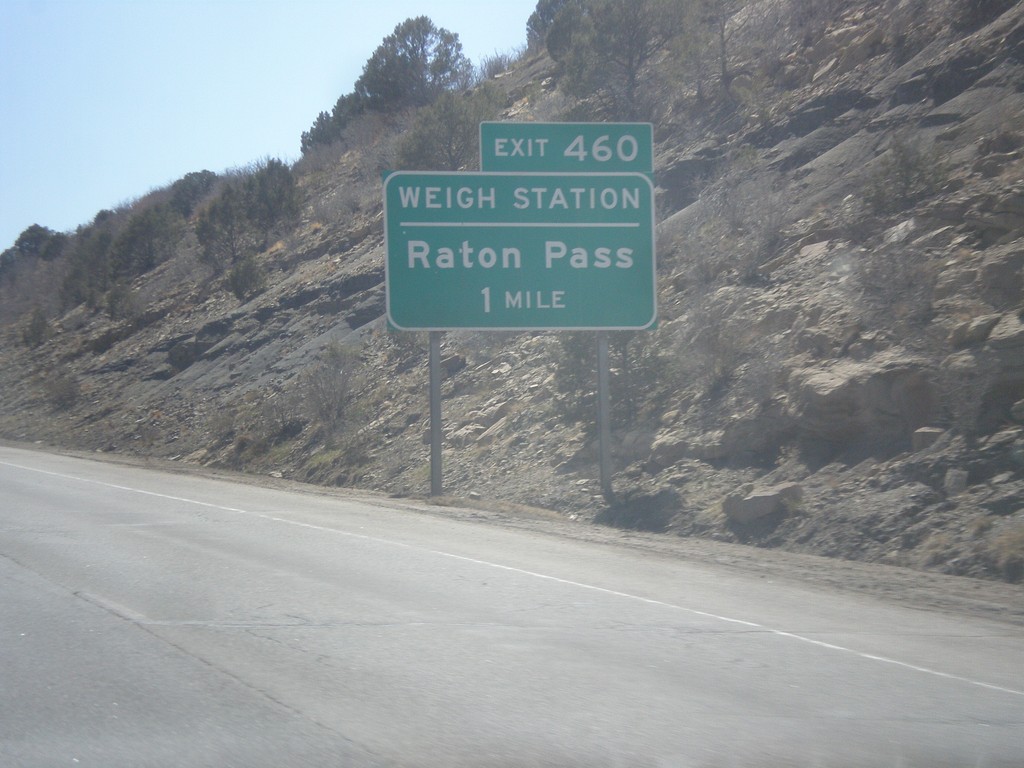
I-25 South - Exit 460
I-25 south approaching Exit 460 (New Mexico) - Raton Pass/Weigh Station.
Taken 03-29-2014

 Starkville
Las Animas County
Colorado
United States
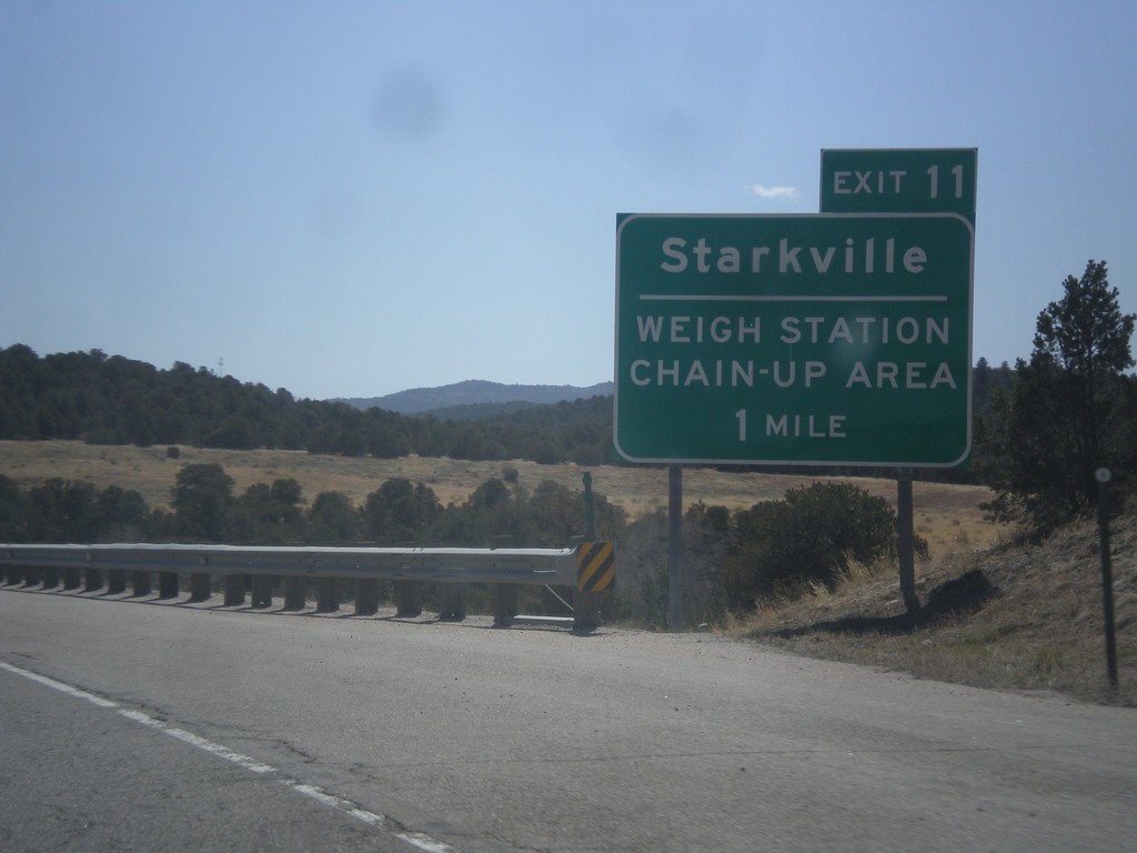
I-25 South - Exit 11
I-25 south approaching Exit 11 - Starkville/Weigh Station/Chain Up Area. After the Starkville interchange, the highway begins climbing towards Raton Pass.
Taken 03-29-2014

 Trinidad
Las Animas County
Colorado
United States
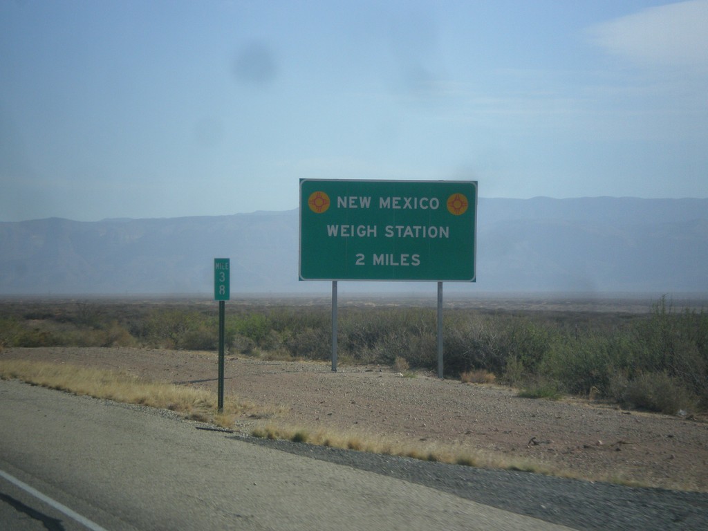
US-54 North - New Mexico Weigh Station
Approaching New Mexico Weigh Station and Border Patrol Checkpoint.
Taken 04-14-2013
 Orogrande
Otero County
New Mexico
United States
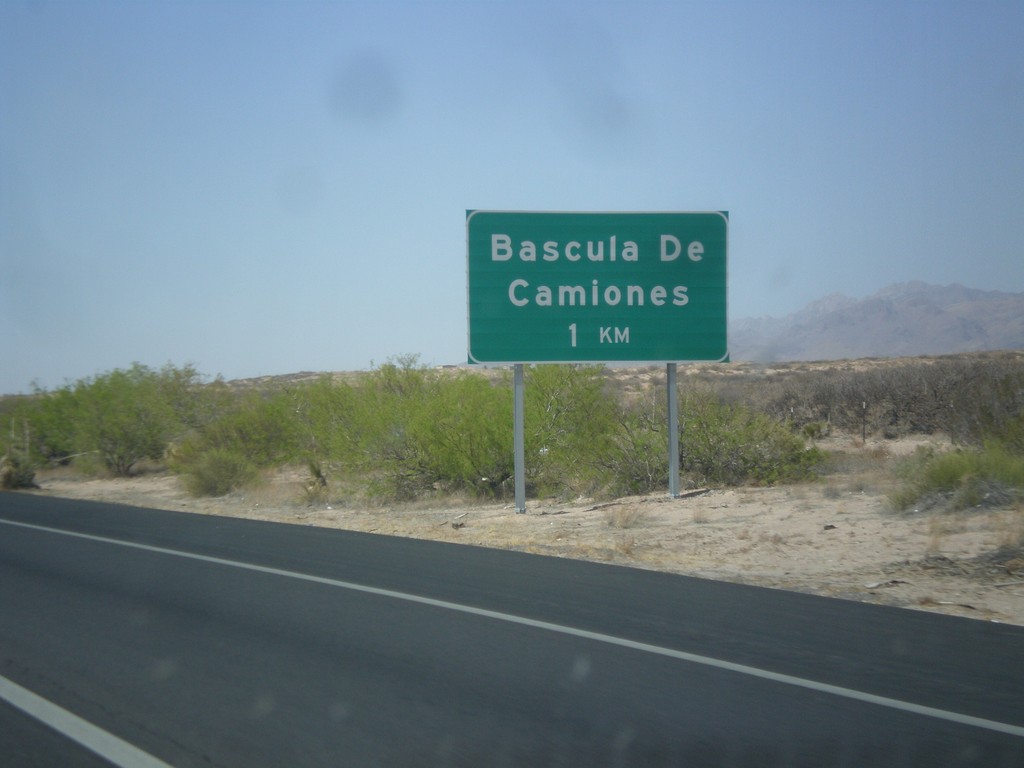
I-10 West - Bascula de Camiones
I-10 west approaching Bascula de Camiones (Truck Scales), 1 km. This sign shows how close this area is to Mexico.
Taken 04-14-2013
 Anthony
Doña Ana County
New Mexico
United States
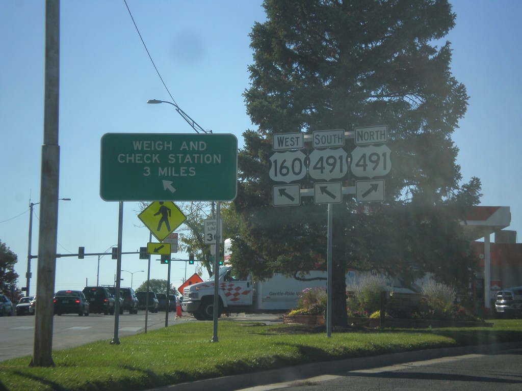
US-160 West at US-491
US-160 west at US-491. Merge right for US-491 north. Continue straight for US-491 South/US-160 West. US-491 South joins US-160 West. Use US-160 West/US-491 North for Weigh and Check Station.
Taken 10-15-2012

 Cortez
Montezuma County
Colorado
United States
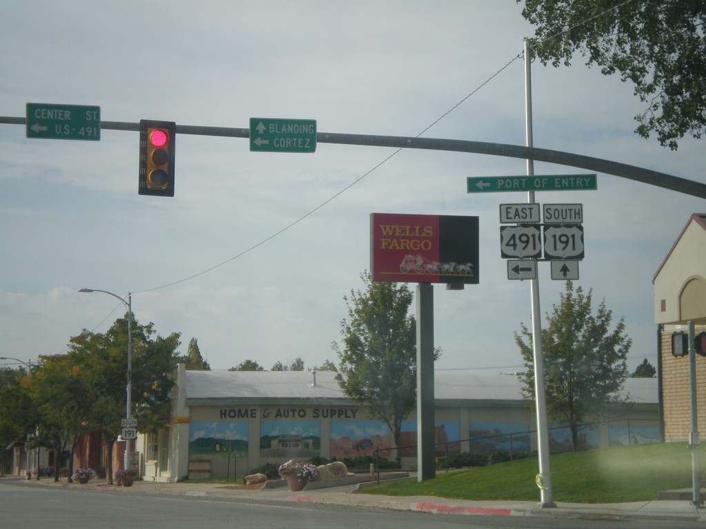
US-191 South at US-491
US-191 South at US-491. Use US-491 east for Cortez (Colorado); continue south on US-191 for Blanding. This is the northern end of US-491. Also US-491 east for the (Utah) Port of Entry.
Taken 10-02-2011

 Monticello
San Juan County
Utah
United States
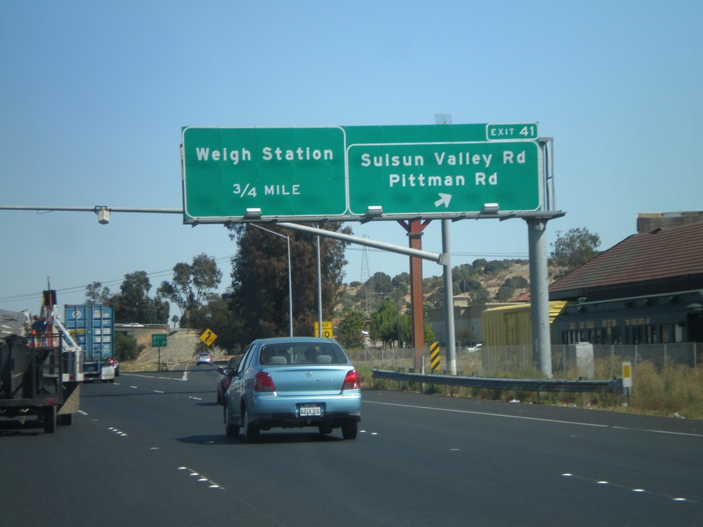
I-80 East - Exit 41
I-80 east at Exit 41 - Suisun Valley Road/Pittman Road. Approaching Weigh Station.
Taken 10-01-2010

 Fairfield
Solano County
California
United States
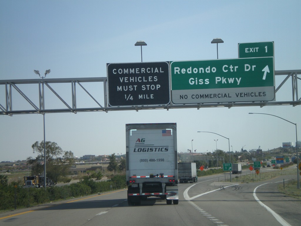
I-8 East - Exit 1
I-8 east at Exit 1 - Redondo Center Drive/Giss Parkway. This is the first Arizona exit along I-8. Approaching the Arizona Port of Entry.
Taken 03-20-2010
 Yuma
Yuma County
Arizona
United States
Yuma
Yuma County
Arizona
United States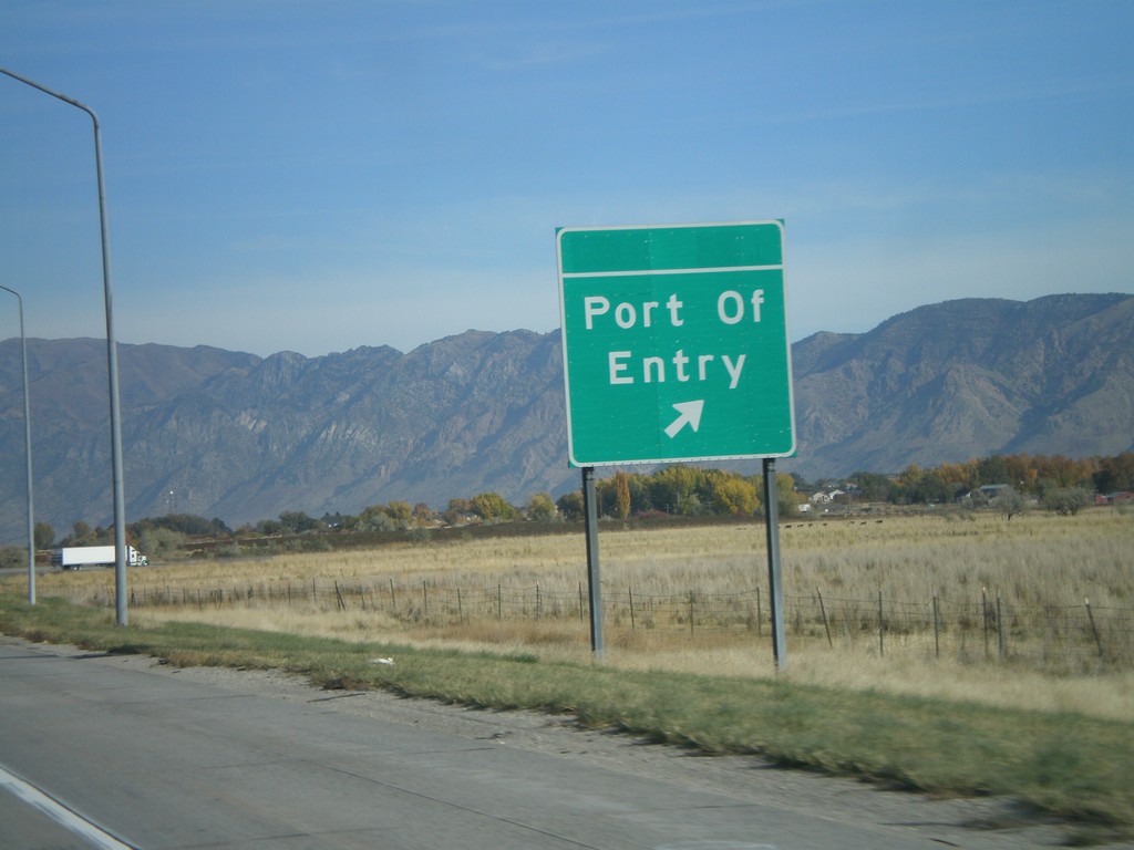
I-15 North at Port of Entry
I-15 North at (Willard) Port of Entry.
Taken 10-26-2008
 Perry
Box Elder County
Utah
United States
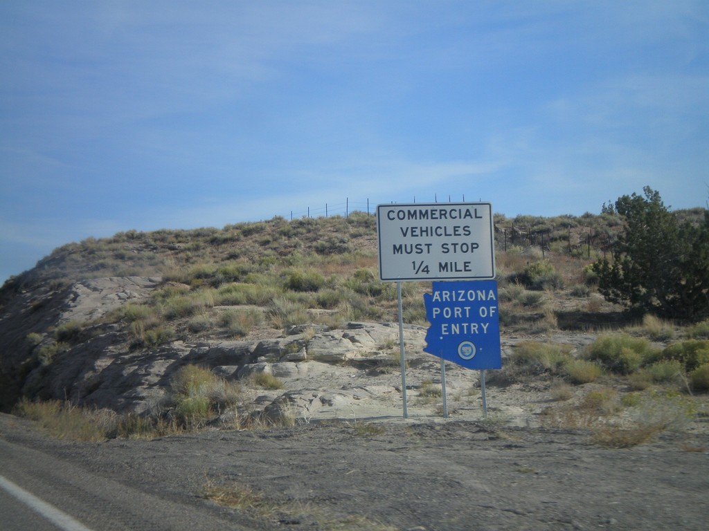
US-160 East - Arizona Port of Entry
East US-160 approaching the Arizona Port of Entry.
Taken 10-18-2008
 Teec Nos Pos
Apache County
Arizona
United States
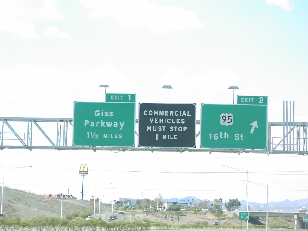
I-8 West - Exits 2 and 1
I-8 west at Exit 2 - US-95/16th St., and approaching Exit 1 - Giss Parkway
Taken 03-01-2006

 Yuma
Yuma County
Arizona
United States
Yuma
Yuma County
Arizona
United States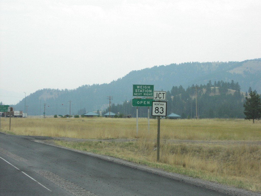
MT-200 East Approaching MT-83
MT-200 East approaching MT-83 north in Missoula County.
Taken 09-09-2005

 Clearwater
Missoula County
Montana
United States