Signs Tagged With Welcome Sign
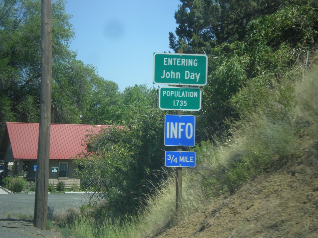
US-26 East - John Day
Entering John Day - Population 1735 on US-26 east.
Taken 07-15-2017

 John Day
Grant County
Oregon
United States
John Day
Grant County
Oregon
United States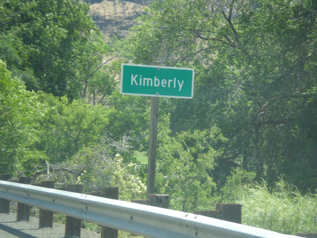
OR-19 South - Kimberly
Entering Kimberly on OR-19 south.
Taken 07-15-2017
 Kimberly
Grant County
Oregon
United States
Kimberly
Grant County
Oregon
United States
OR-19 South/OR-207 North - Spray
Entering Spray on OR-19 South/OR-207 North.
Taken 07-15-2017
 Spray
Wheeler County
Oregon
United States
Spray
Wheeler County
Oregon
United States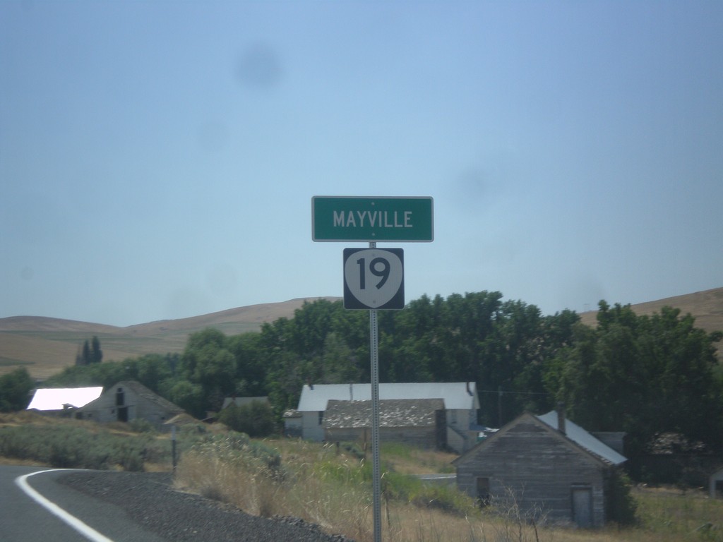
OR-19 South - Mayville
Entering the community of Mayville on OR-19 south.
Taken 07-15-2017
Fossil
Gilliam County
Oregon
United States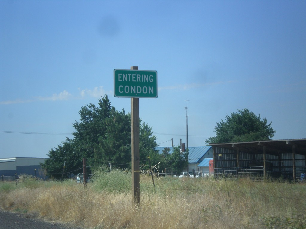
OR-19 South - Condon
Entering Condon on OR-19 south. Condon is the county seat of Gilliam County.
Taken 07-15-2017
Condon
Gilliam County
Oregon
United States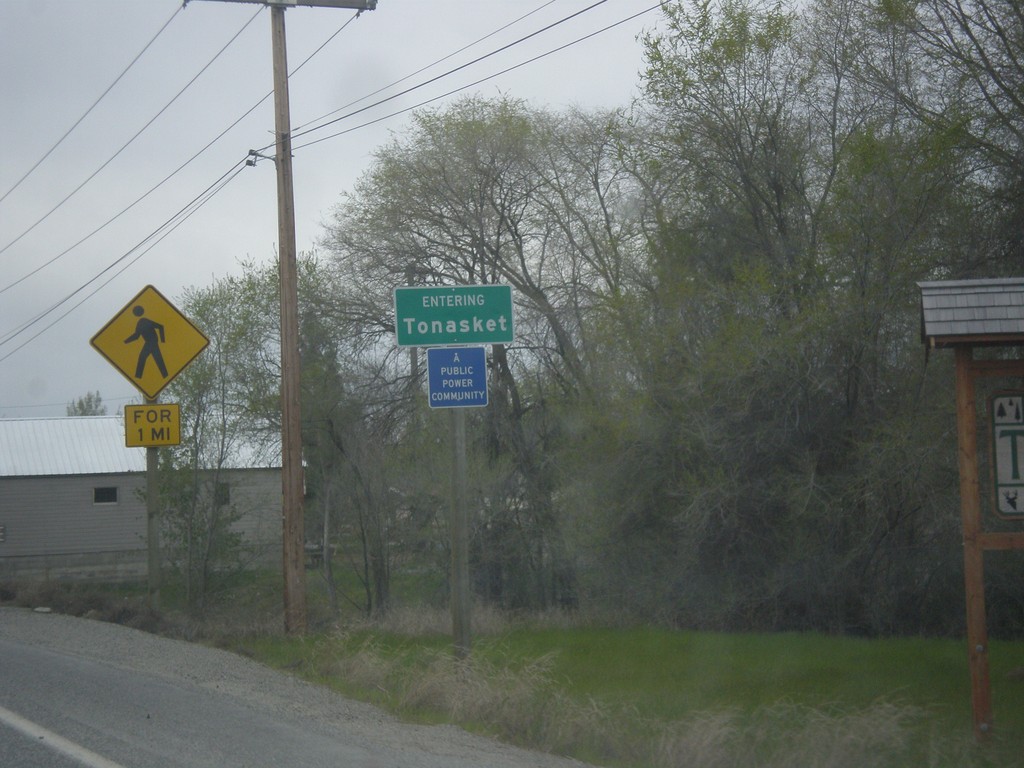
US-97 South - Entering Tonasket
Entering Tonasket on US-97 South.
Taken 04-29-2017
 Tonasket
Okanogan County
Washington
United States
Tonasket
Okanogan County
Washington
United States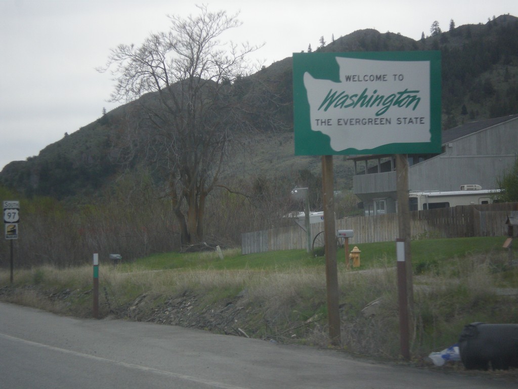
US-97 South - Welcome To Washington
Welcome to Washington - The Evergreen State on US-97 south. Taken just south of US Customs at the US-Canadian border.
Taken 04-29-2017
Oroville
Okanogan County
Washington
United States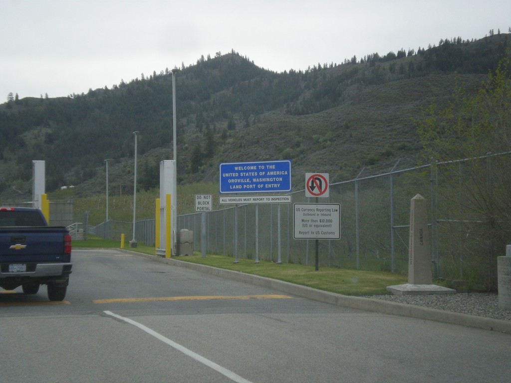
Begin US-97 South - US Customs
Welcome to the United States of America - Oroville, Washington Land Port of Entry at the beginning of US-97 south. Taken at the Canadian-USA boundary.
Taken 04-29-2017
Oroville
Okanogan County
Washington
United States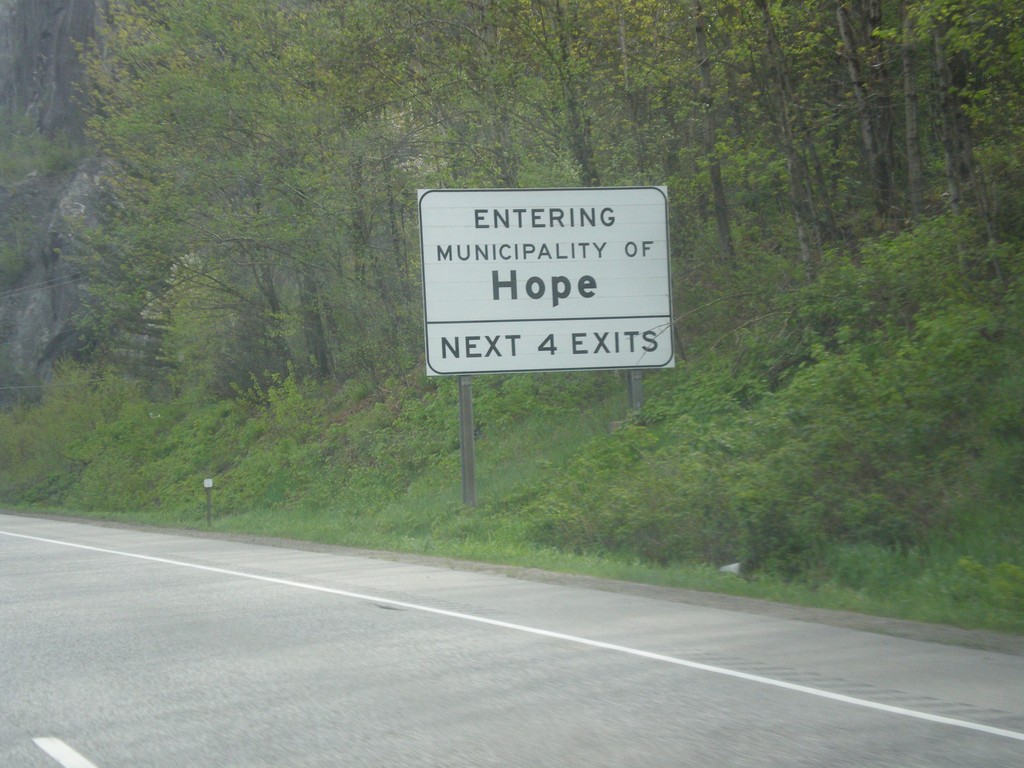
TC-1 East - Hope
Entering Municipality of Hope on TC-1 East. Access to Hope next 4 exits.
Taken 04-29-2017
 Hope
Fraser Valley
British Columbia
Canada
Hope
Fraser Valley
British Columbia
Canada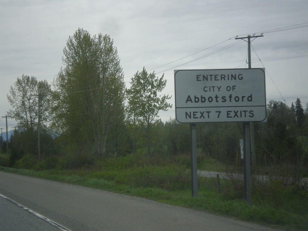
TC-1 East - Abbotsford
Entering City of Abbotsford on TC-1 East. Abbotsford access next 7 exits.
Taken 04-29-2017
Abbotsford
Fraser Valley
British Columbia
Canada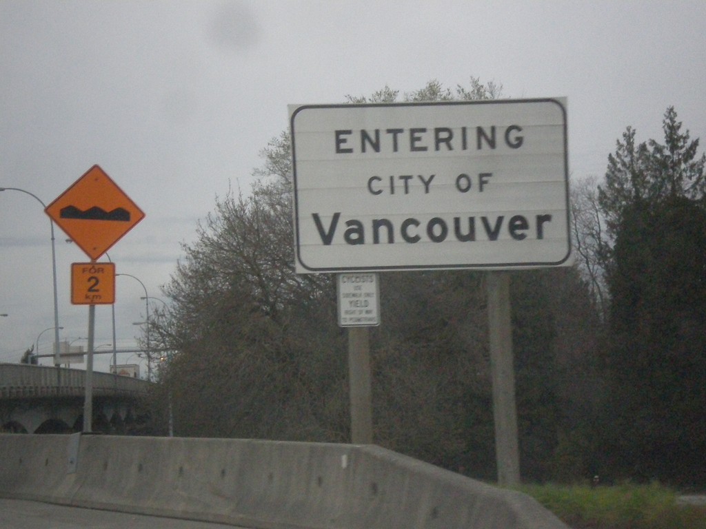
BC-99 North - Entering Vancouver
Entering city of Vancouver on BC-99 north. Vancouver is the largest city in the province of British Columbia and the 8th biggest city in Canada.
Taken 04-29-2017
 Vancouver
Metro Vancouver
British Columbia
Canada
Vancouver
Metro Vancouver
British Columbia
Canada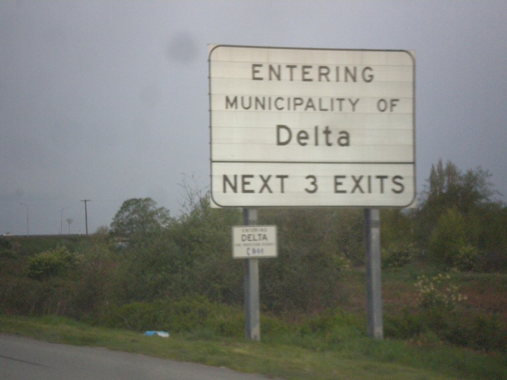
BC-99 North - Delta
Entering municipality of Delta on BC-99 North. Next three exits have access to Delta.
Taken 04-29-2017
Surrey
Metro Vancouver
British Columbia
Canada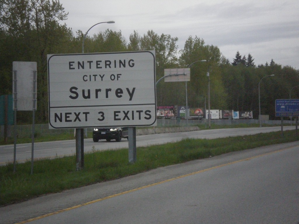
BC-99 North - Entering Surrey
Entering Surrey on BC-99 North. Use next 3 exits on BC-99 for Surrey.
Taken 04-29-2017
Surrey
Metro Vancouver
British Columbia
Canada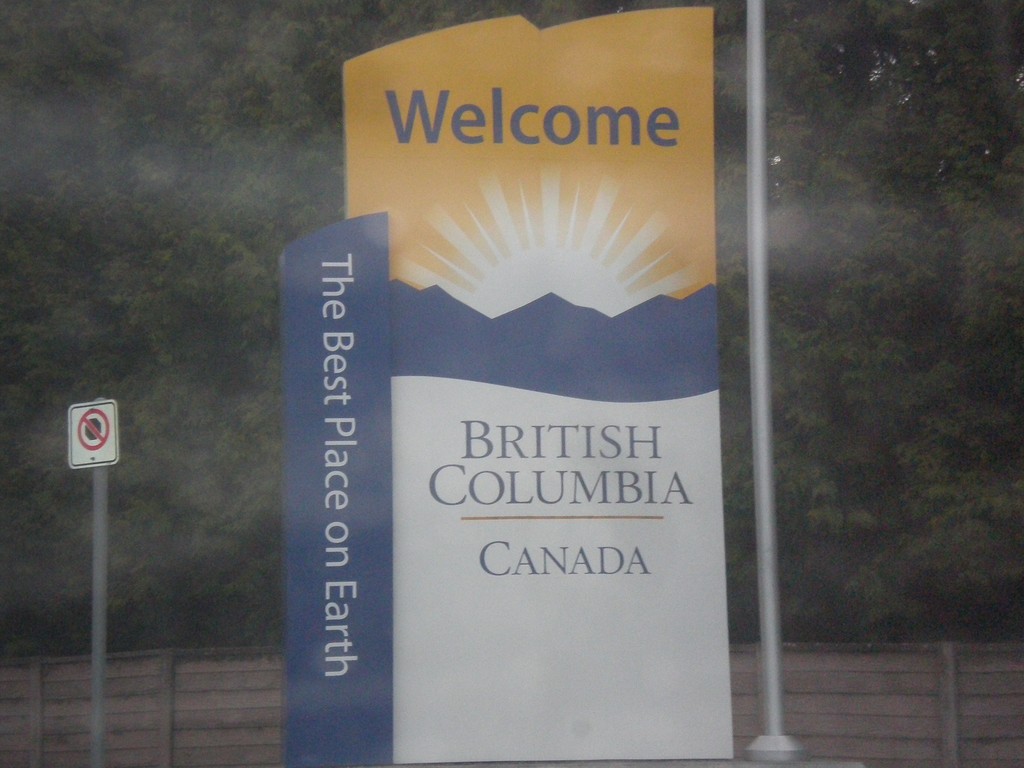
BC-99 North - Welcome to British Columbia
Welcome to British Columbia on BC-99 north. Taken just north of Canada Customs.
Taken 04-29-2017
Surrey
Metro Vancouver
British Columbia
Canada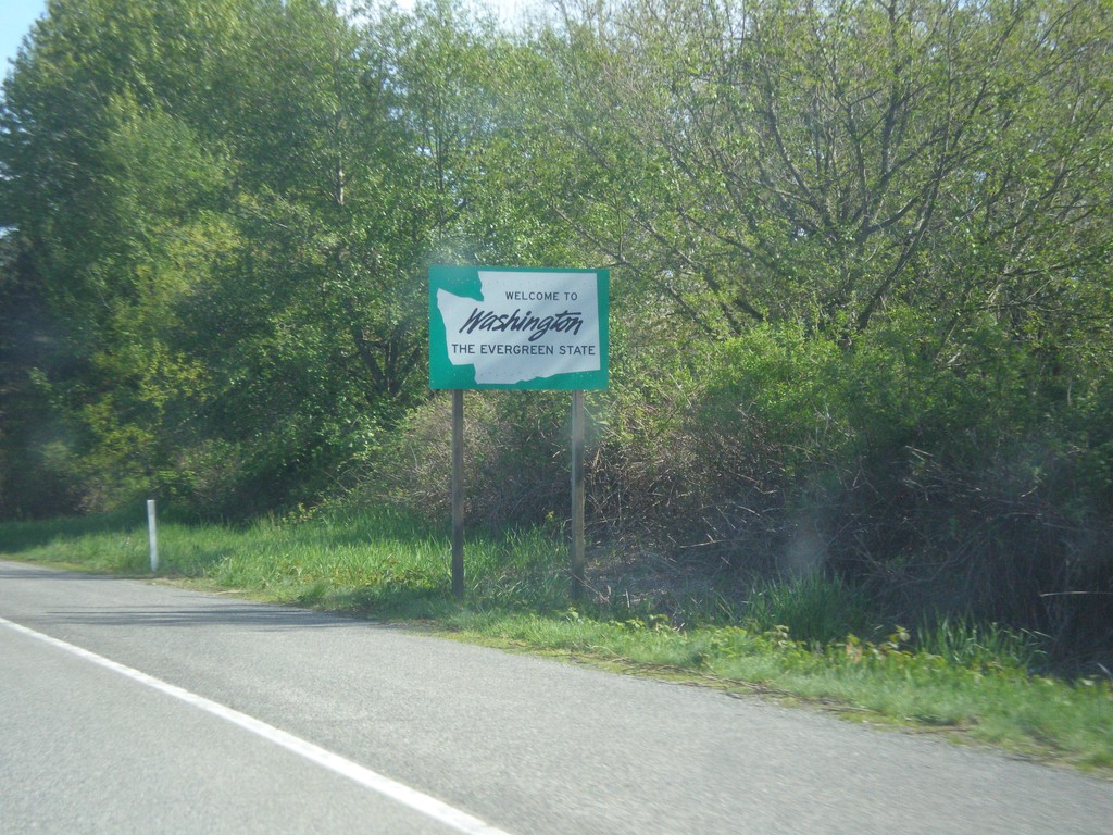
I-5 South - Welcome To Washington
Welcome to Washington on I-5 south. This sign is right after the onramps from the Exit 276 interchange.
Taken 04-28-2017
 Blaine
Whatcom County
Washington
United States
Blaine
Whatcom County
Washington
United States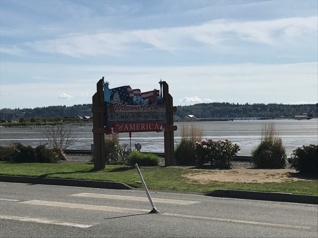
I-5 South - Welcome To The United States of America
I-5 South - Welcome To The United States of America at the US-Canada international boundary. Sign is before the Peace Arch Customs station.
Taken 04-28-2017
Blaine
Whatcom County
Washington
United States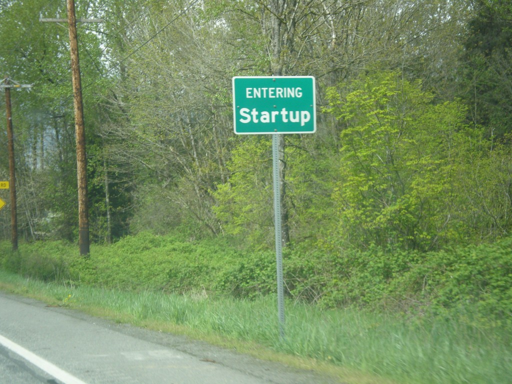
US-2 West - Startup
Entering Startup on US-2 west.
Taken 04-28-2017
 Sultan
Snohomish County
Washington
United States
Sultan
Snohomish County
Washington
United States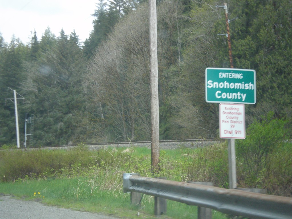
US-2 West - Snohomish County
Entering Snohomish County on US-2 west.
Taken 04-28-2017
Gold Bar
Snohomish County
Washington
United States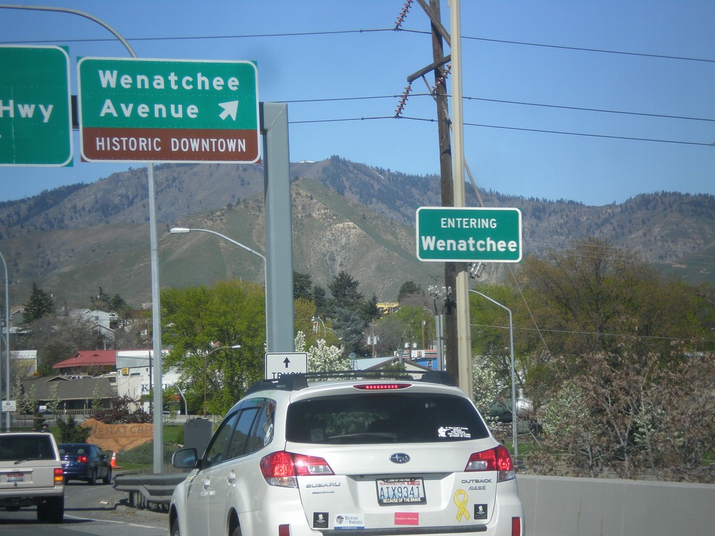
WA-285 North at Wenatchee Ave. interchange
WA-285 North at Wenatchee Ave./Historic Downtown interchange. Entering Wenatchee.
Taken 04-28-2017
 Wenatchee
Chelan County
Washington
United States
Wenatchee
Chelan County
Washington
United States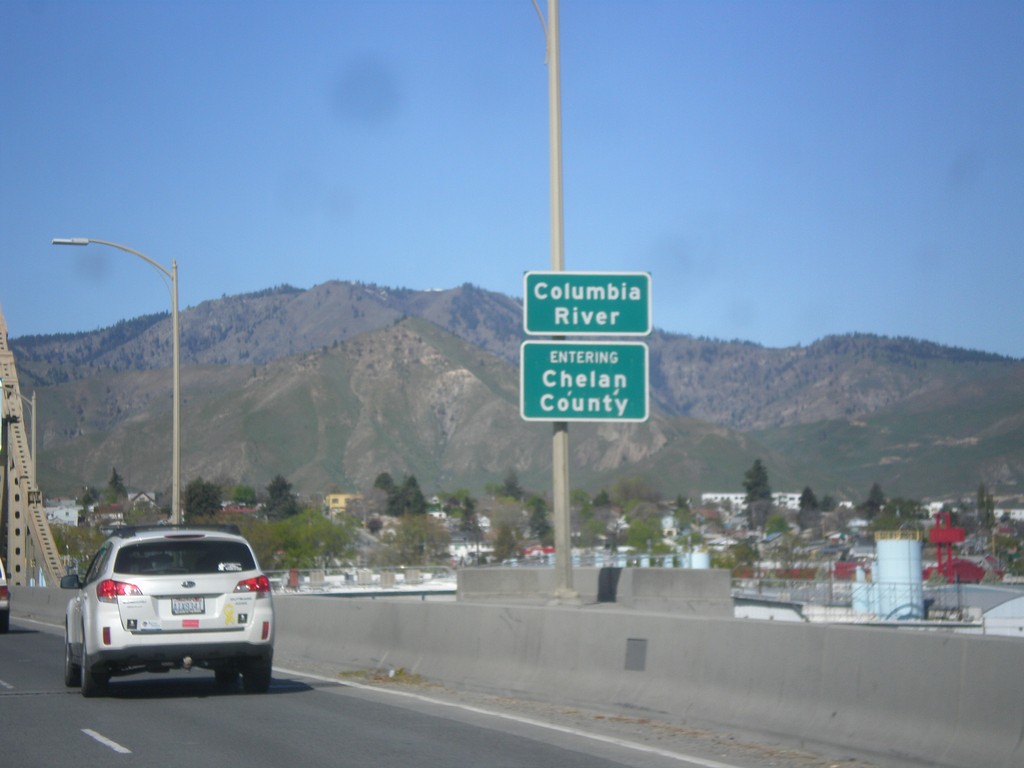
WA-285 North - Chelan County
Entering Chelan County on the Columbia River bridge on WA-285 north. Also entering Wenatchee, the county seat of Chelan County.
Taken 04-28-2017
Wenatchee
Chelan County
Washington
United States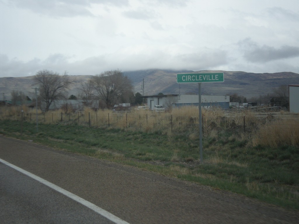
US-89 North - Circleville
Entering Circleville on US-89 north.
Taken 03-31-2017
 Circleville
Piute County
Utah
United States
Circleville
Piute County
Utah
United States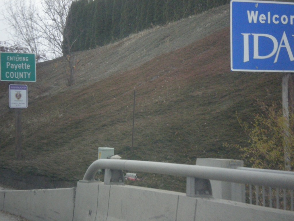
US-30 East - Entering Idaho
Welcome To Idaho on US-30 East. Entering Payette County.
Taken 11-19-2016
 Fruitland
Payette County
Idaho
United States
Fruitland
Payette County
Idaho
United States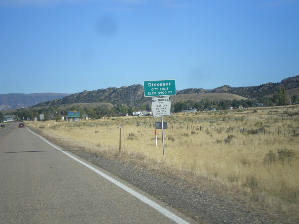
CO-64 West - Dinosaur
Entering Dinosaur, Colorado on CO-64 west.
Taken 10-09-2016
 Dinosaur
Moffat County
Colorado
United States
Dinosaur
Moffat County
Colorado
United States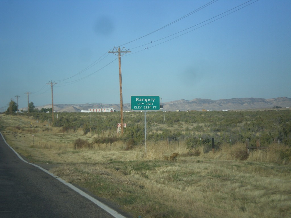
CO-64 West - Rangely
Entering Rangely, Colorado on CO-64 west.
Taken 10-09-2016
Rangely
Rio Blanco County
Colorado
United States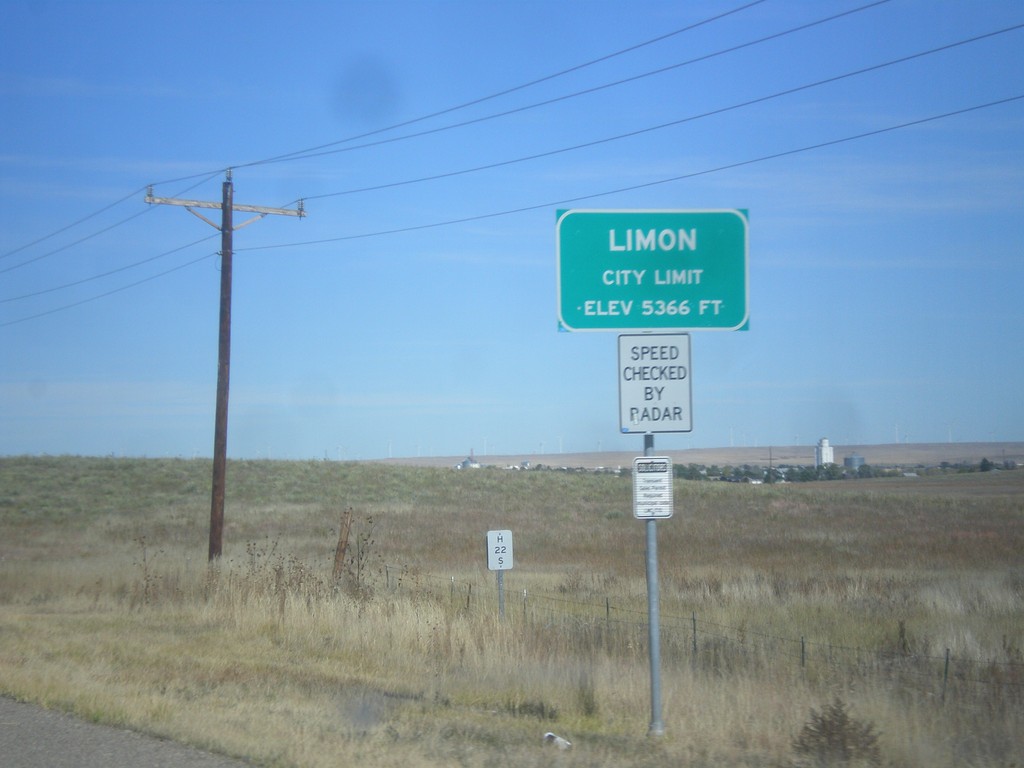
CO-71 North - Limon
Entering Limon on CO-71 north. Limon is the county seat of Lincoln County.
Taken 10-08-2016
 Limon
Lincoln County
Colorado
United States
Limon
Lincoln County
Colorado
United States