Signs Tagged With Winter Closure
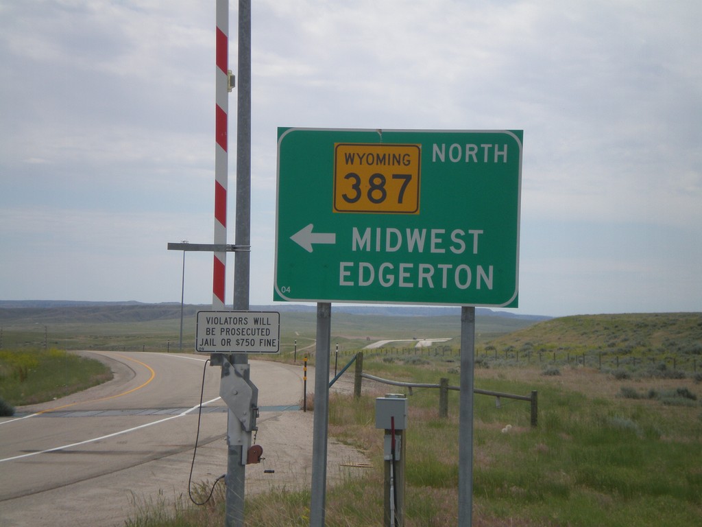
I-25 South at WY-387
I-25 south at WY-387. Use WY-387 North for Midwest and Edgerton. Continue ahead to return to I-25 south. Notice the closed highway gate for severe weather.
Taken 07-04-2011


 Midwest
Natrona County
Wyoming
United States
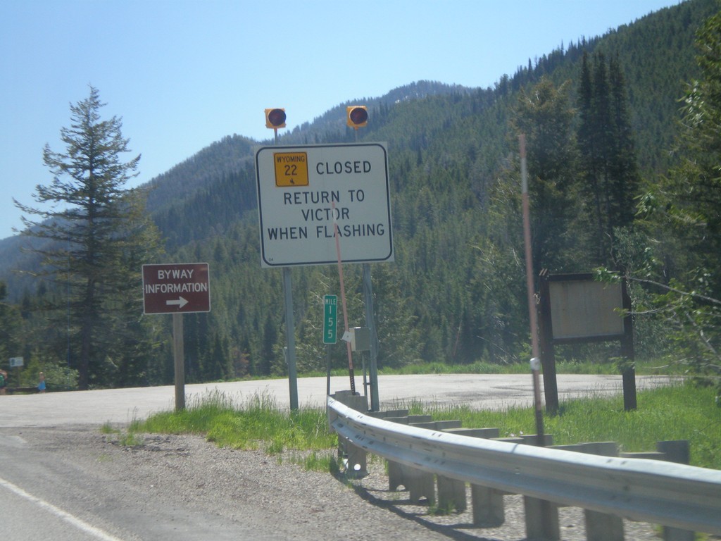
ID-33 East - WY-22 Closure Information
Teton Pass road closure information on ID-33 east approaching the Wyoming state line. When Teton Pass is closed in Wyoming, this is where the road closure starts, just inside of Idaho. All traffic must return to Victor Idaho when the road closure lights are flashing. This is one of the few instances in Idaho of a state highway shield from another state located inside Idaho.
Taken 07-02-2011

 Victor
Teton County
Idaho
United States
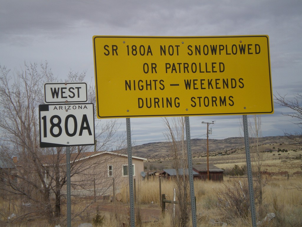
AZ-180A West - Winter Driving Warning
Warning on AZ-180A that the highway is not plowed nights or on weekends during storms.
Taken 02-24-2011
 Concho
Apache County
Arizona
United States
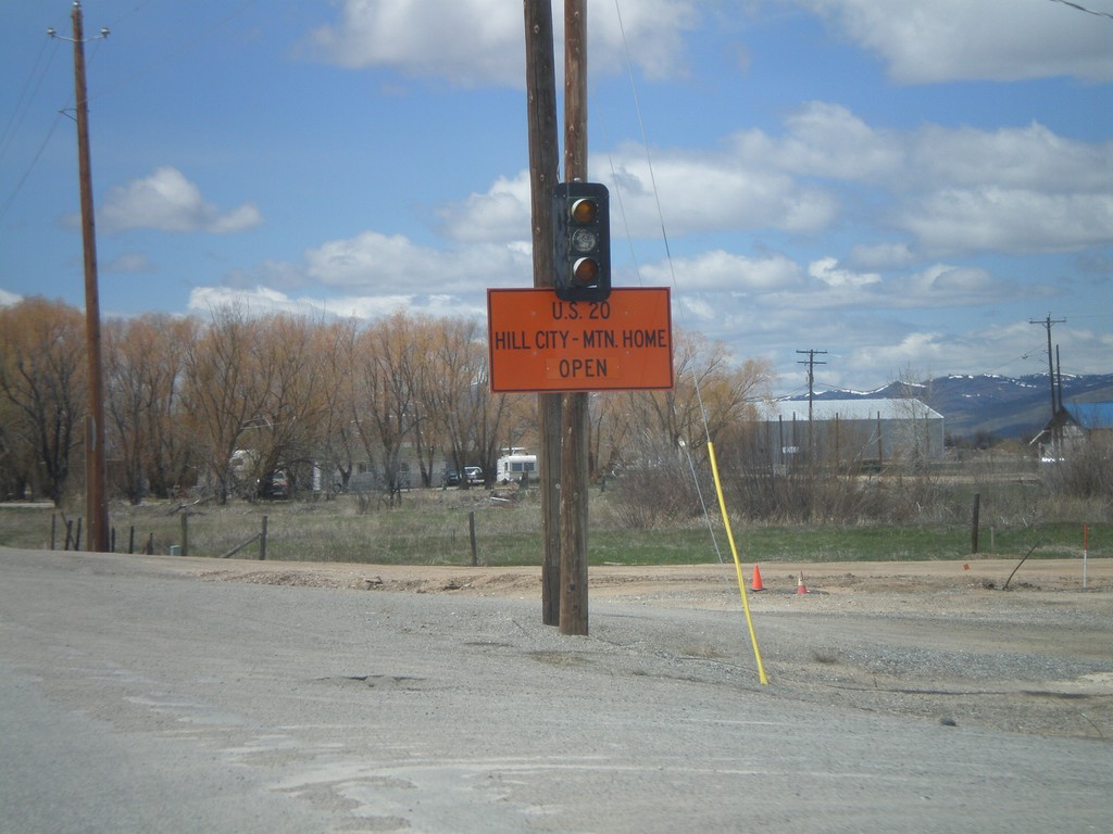
US-20 East - Road Closure Status
Road closure status between Hill City and Mountain Home on US-20 west, leaving Fairfield.
Taken 05-02-2010
 Fairfield
Camas County
Idaho
United States
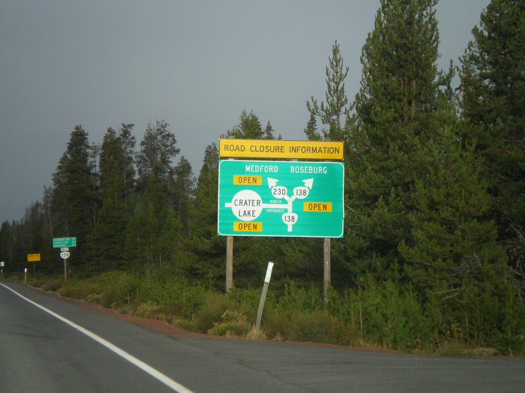
Cascades Closure Information
Road closure information for OR-230, OR-138, and Crater Lake in the Oregon Cascades. Closures are listed in a simple route diagram.
Taken 09-20-2009
 Chemult
Klamath County
Oregon
United States
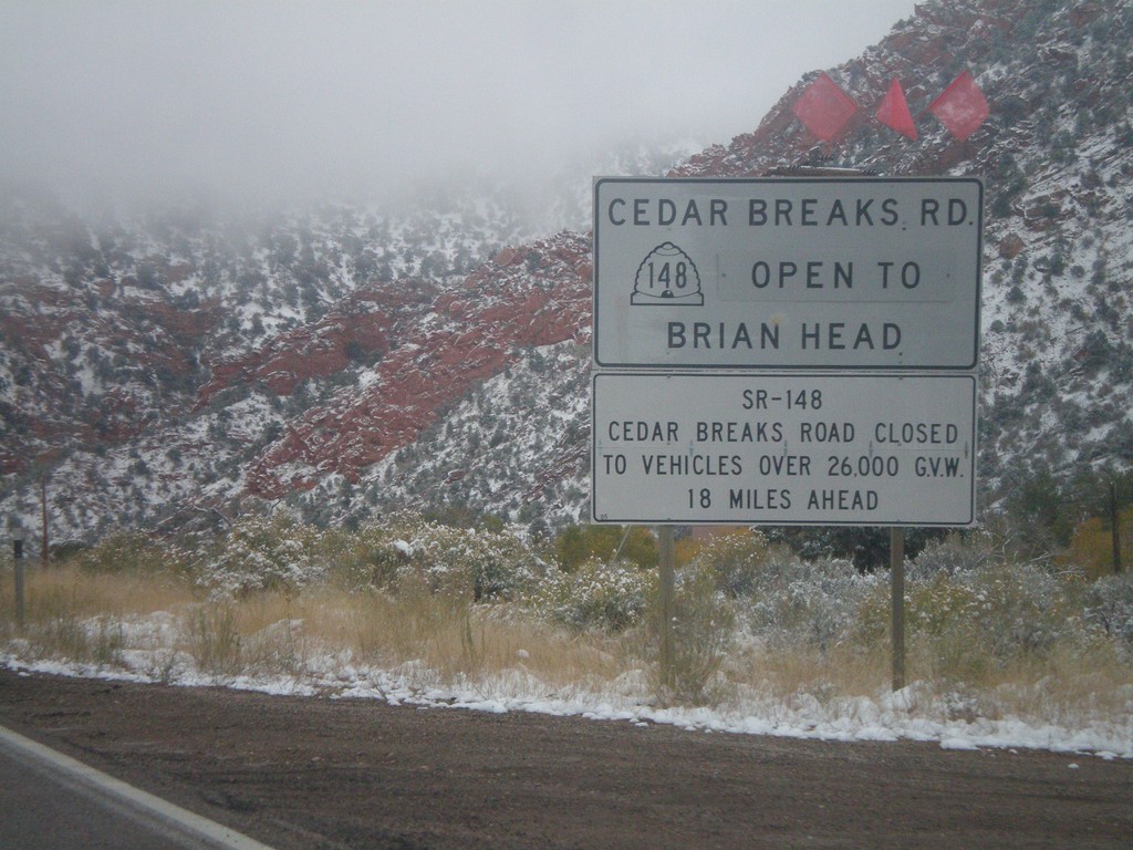
UT-14 East - Cedar Breaks Road Status
UT-14 east above Cedar City. Road closure information for UT-148/Cedar Breaks Road.
Taken 10-12-2008

 Cedar City
Iron County
Utah
United States
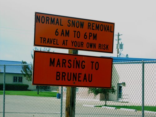
ID-78 East - Snow Removal Hours
Snow removal hours on ID-78 between Marsing and Bruneau.
Taken 09-01-2006
 Marsing
Owyhee County
Idaho
United States
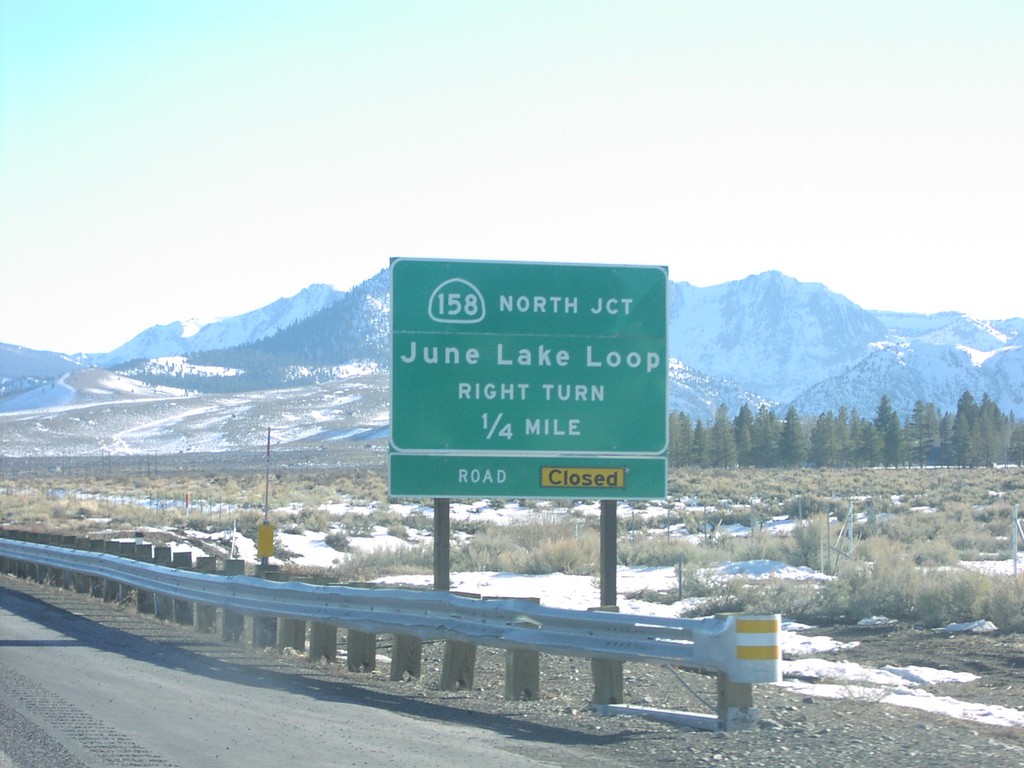
US-395 South CA-158 Jct.
CA-158 junction (north) to June Lake
Taken 02-01-2006


 Lee Vining
Mono County
California
United States
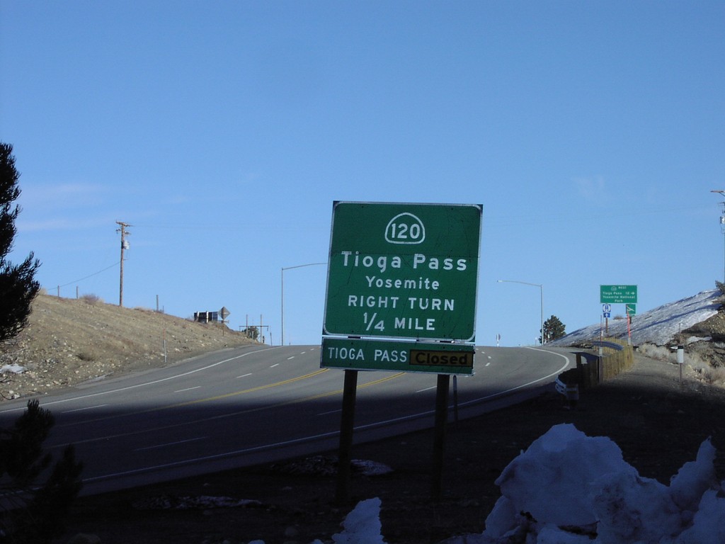
US-395 South CA-120 West
US-395 south at CA-120 west to Tioga Pass/Yosemite
Taken 02-01-2006

 Lee Vining
Mono County
California
United States
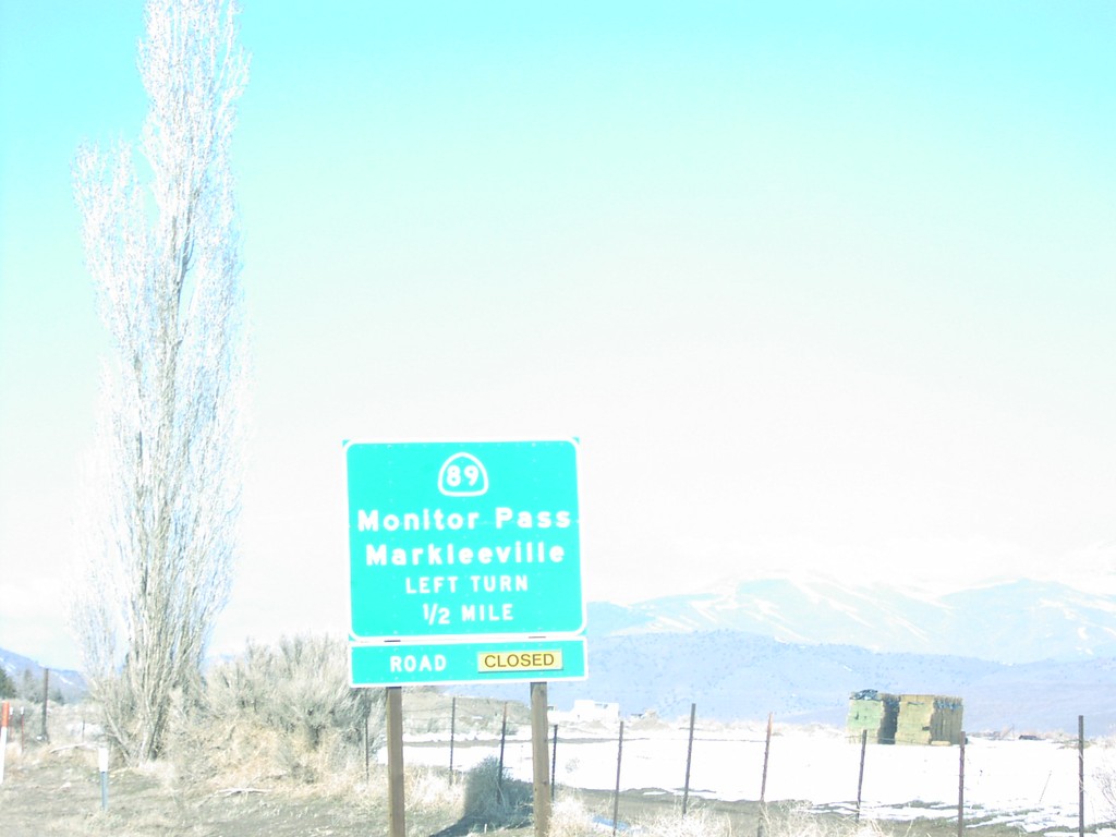
US-395 South at CA-89
US-395 north at CA-89 junction to Markleeville and Monitor Pass in Topaz. Monitor Pass is closed when this was taken.
Taken 02-01-2005

 Coleville
Mono County
California
United States
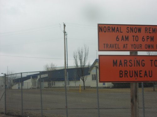
ID-78 East - Snow Removal Hours
Sign describing snow removal schedule on ID-78 between Marsing and Bruneau.
Taken 02-01-2005
 Marsing
Owyhee County
Idaho
United States
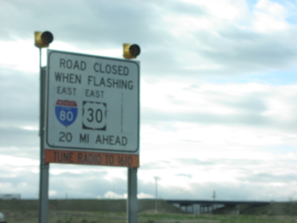
Road Closed When Flashing - I-80 East
I-80 Closed 20 Miles Ahead When Lights Flashing
Taken 05-01-2004

 Rawlins
Carbon County
Wyoming
United States
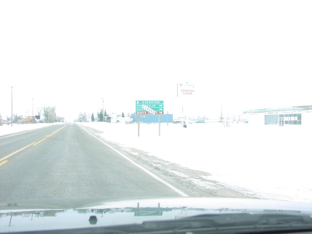
UT-16 South at UT-39 South (Closed For Winter)
UT-16/UT-39 Junction to Ogden (Closed For Winter)
Taken 02-01-2004
 Woodruff
Rich County
Utah
United States
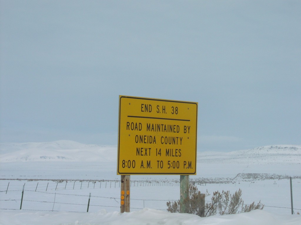
End ID-38 in Holbrook
Snow Indicating End of ID-38 and Beginning of Oneida County Maintenance
Taken 02-01-2004
 Holbrook
Oneida County
Idaho
United States