Signs Tagged With Winter Closure
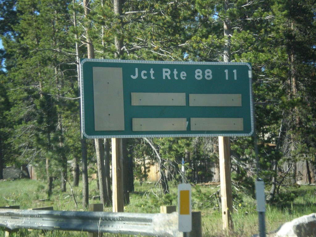
CA-89 South - Distance Marker
Distance marker on CA-89 south. Distance to CA-88 Junction.
Taken 06-15-2015
 South Lake Tahoe
El Dorado County
California
United States
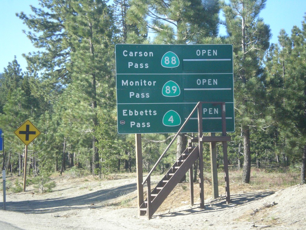
CA-89 South - Summit Information
Summit closure information on CA-89 south. Information for Ebbetts Pass (via CA-4), Monitor Pass (via CA-89) and Carson Pass (via CA-88). This photograph was taken in mid-June, and all of the passes are open. Carson Pass on CA-88 is the only pass that is typically opened year round.
Taken 06-15-2015


 South Lake Tahoe
El Dorado County
California
United States
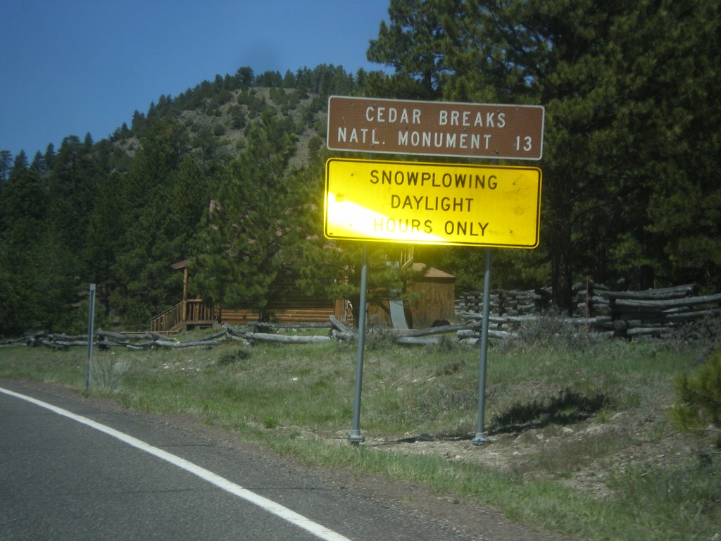
UT-143 - Distance Marker
Distance marker on UT-143 south. Distance to Cedar Breaks National Monument. Below distance marker is another sign reading Snow Plowing Daylight Hours Only.
Taken 05-21-2014
 Panguitch
Garfield County
Utah
United States
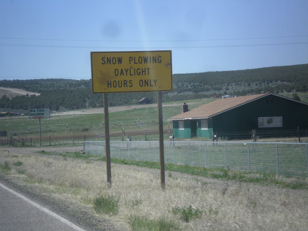
UT-143 South - Snow Plowing Hours
Snow Plowing Daylight Hours Only on UT-143 south. UT-143 south is a very mountainous road that goes over the Markagunt Plateau.
Taken 05-21-2014
 Panguitch
Garfield County
Utah
United States
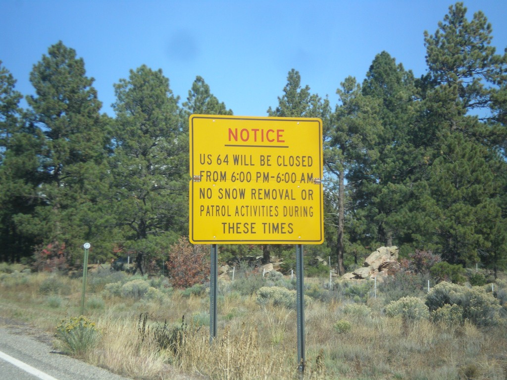
US-64 West Closure Hours
US-64 will be closed from 6:00 PM to 6:00 AM (between Tres Piedras and Tierra Amarilla). No snow removal or patrol activities during these times.
Taken 10-13-2013
 Tres Piedras
Taos County
New Mexico
United States
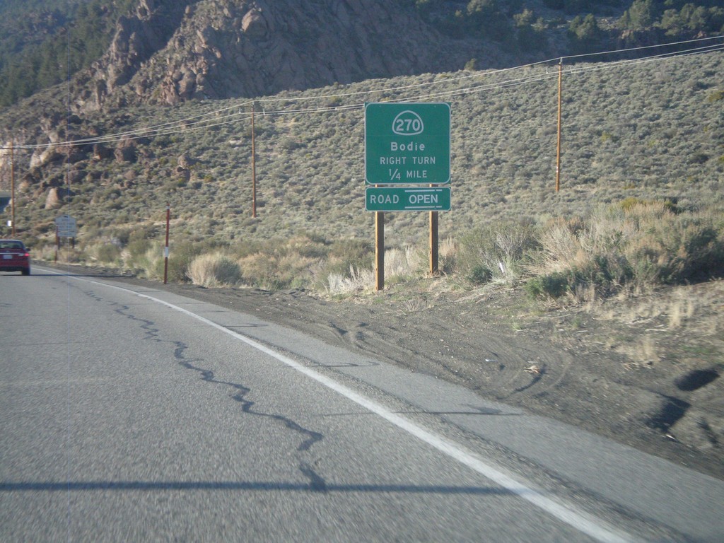
US-395 South Approaching CA-270
US-395 South Approaching CA-270 east to Bodie.
Taken 05-06-2012

 Bridgeport
Mono County
California
United States
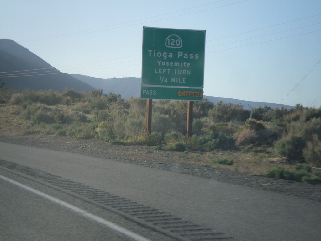
US-395 North Approaching CA-120
US-395 north approaching CA-120 east to Tioga Pass and Yosemite. Tioga Pass was opened the day after this picture was taken.
Taken 05-06-2012

 Lee Vining
Mono County
California
United States
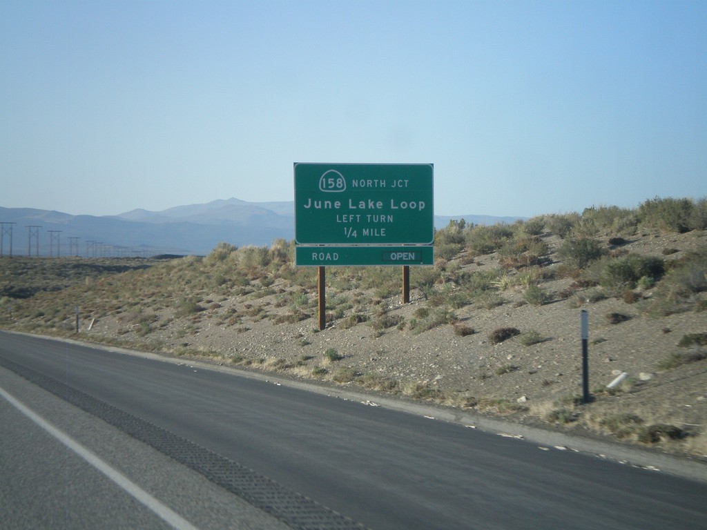
US-395 North Approaching CA-158
US-395 North Approaching CA-158 - June Lake Loop (north end).
Taken 05-06-2012

 Lee Vining
Mono County
California
United States
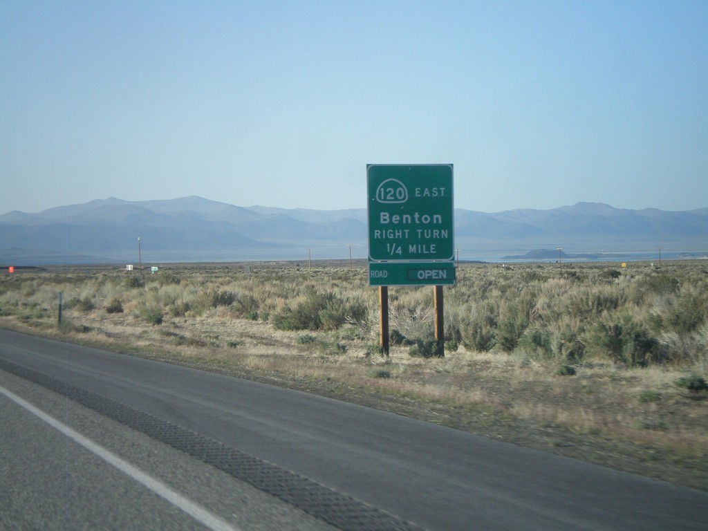
US-395 North Approaching CA-120 East
US-395 North Approaching CA-120 East to Benton. CA-120 west joins US-395 north to Lee Vining.
Taken 05-06-2012

 Lee Vining
Mono County
California
United States
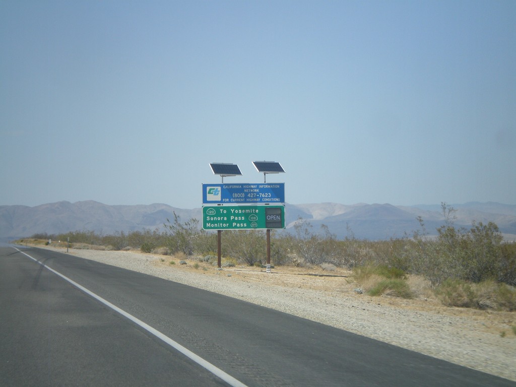
US-395 North - Sierra Nevada Pass Information
Sierra Nevada mountain pass information on US-395 north. This sign shows the status of CA-120 (Tioga Pass), CA-108 (Sonora Pass), and CA-89 (Monitor Pass). At the time this picture was taken, the only pass still closed was Tioga Pass.
Taken 05-06-2012


 Inyokern
Kern County
California
United States